THE ROUTE:
“Trans-Labrador Highway, one of the world’s most epic and remote road trips” and “Route 389, an awe-inspiring road through remote areas”. These are descriptions from the Most Dangerous Roads website.
The two roads reach from Blanc-Sablon to Baie-Comeau, a total of 1,140 miles. The Trans-Labrador Highway is 775 miles long and goes from Blanc-Sablon to Labrador City. Route 389 takes you from Labrador City to Baie-Comeau, Quebec, a total of 365 miles.
Below are a couple maps which help orient the route.
Trans-Labrador Highway:

Route 389 from Labrador City to Baie Comeau:
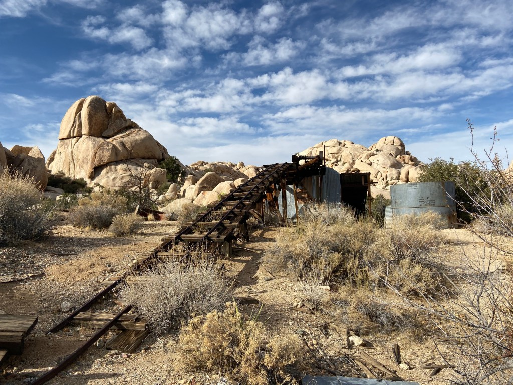
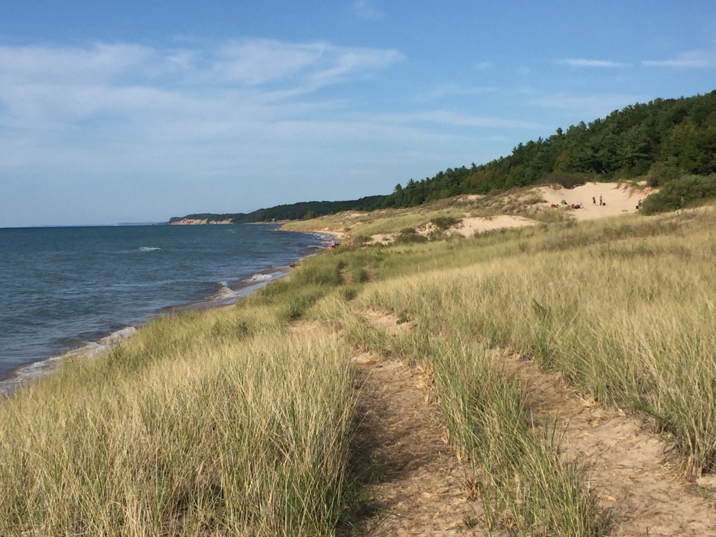
In general, road improvements continue on the Trans-Labrador Highway. At the rate we observed, it will not be too many years before the road is completely paved. Until then, one needs to adjust to road conditions. In one particular bumpy / major washboard section (after the Point Amour Lighthouse) , we saw a complete vehicle brake assembly laying in the middle of the road and then the start of a liquid trail. Someone was in for a surprise. A caution area is east of Labrador city. You cross a number of RR tracks and some come with limited visibility. Some do not have flashing lights.
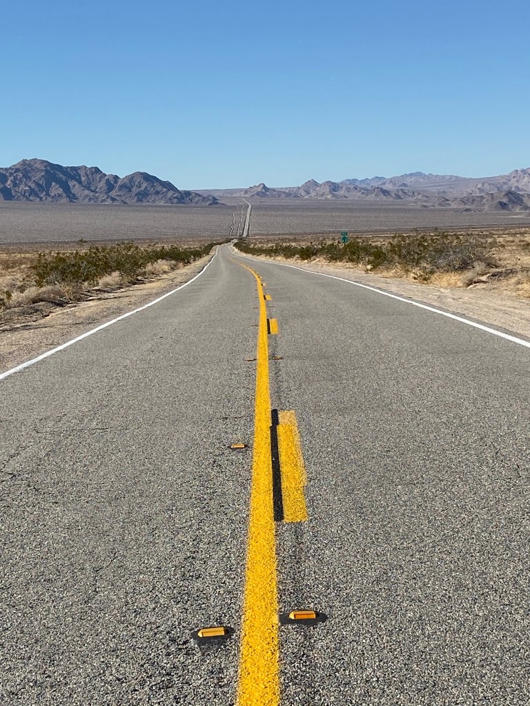
Route 389 is another story. This road has many “dicey” areas and is mainly used by mining and timber trucks. There is no time to daydream on this road. Road construction / upgrade is taking place but at a slower pace. The current road follows the flow of the terrain. In many areas, whole new sections of road are under construction. These new sections will straighten and flatten the road. This type of construction requires moving a lot of earth and starting road beds from scratch. Route 389 has sections of clay that makes travel interesting when wet. In heavy rains, you may want to wait until the roads dry.
Summary of Recommendations:
1) Both roads have long sections of bad washboard dirt / gravel roads. It is best to plan for slow travel in these areas for the sake of your vehicle.
2) Never pass a gas station
3) Have cash – some places do not have internet access or it may go down in areas that do (meaning no credit cards)
4) Drive defensive
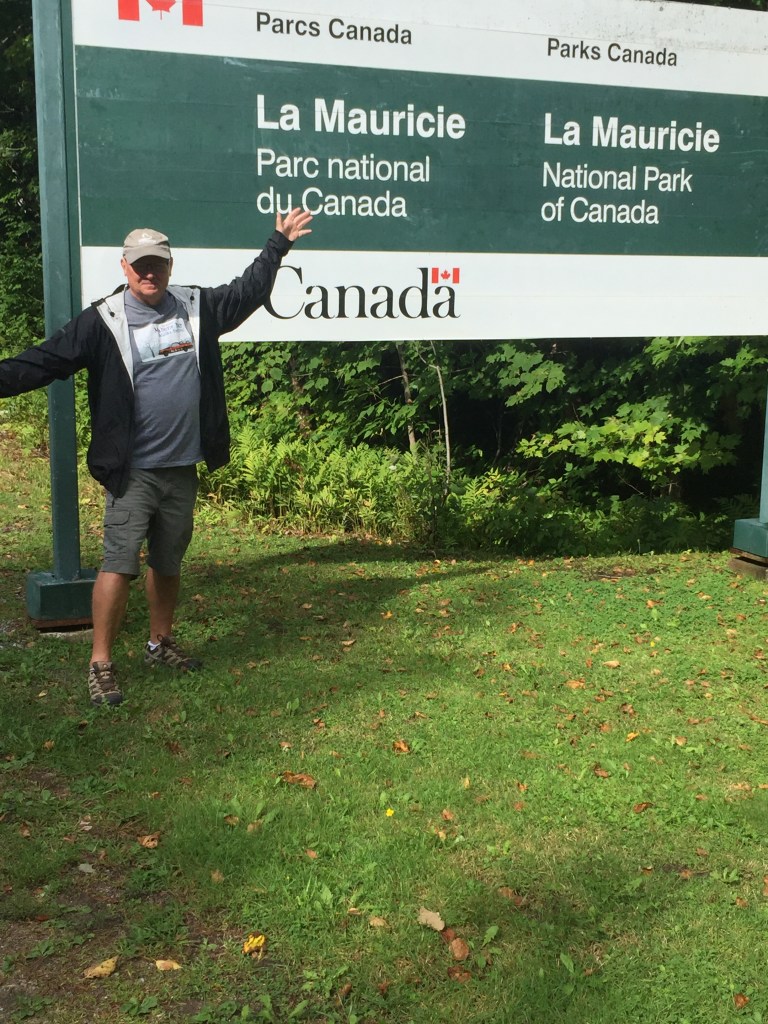
WHY I PICKED THIS ROUTE
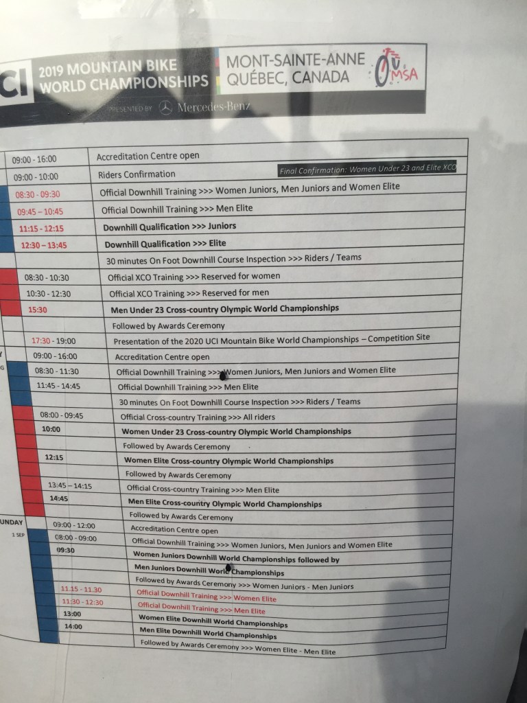
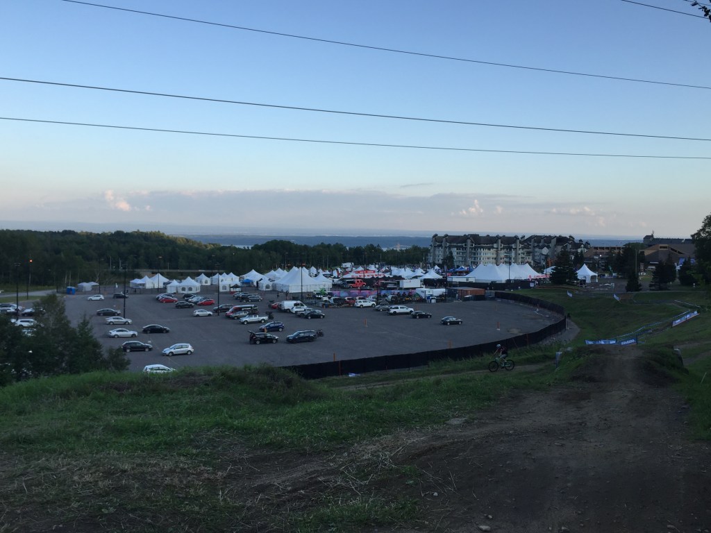
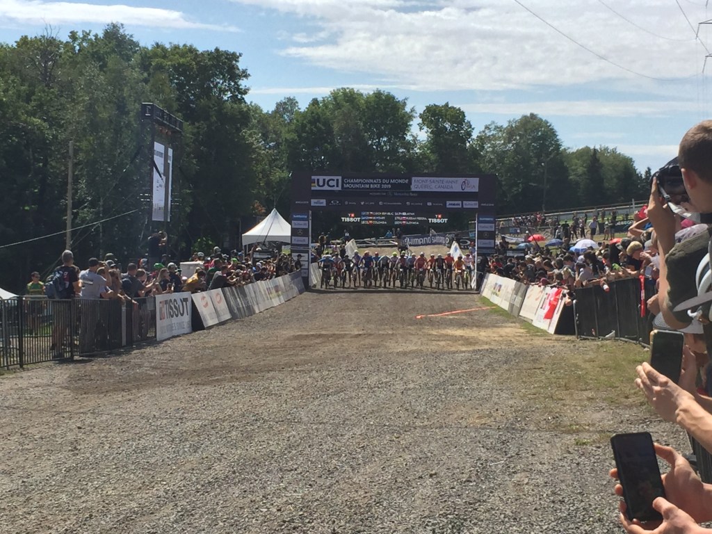
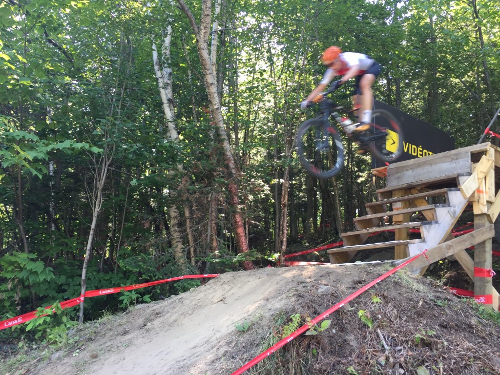
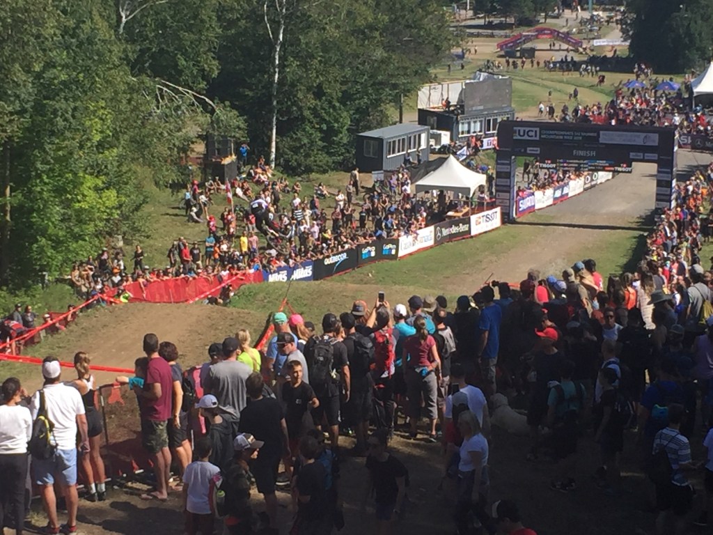
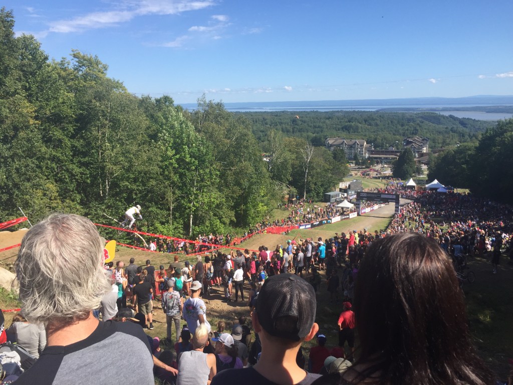
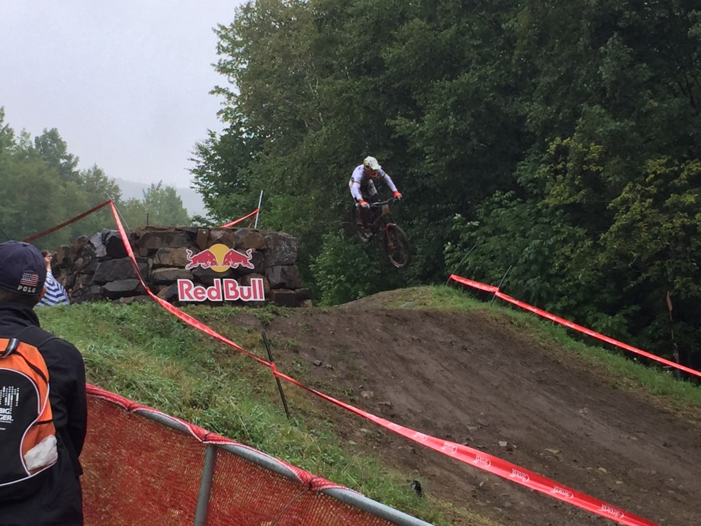
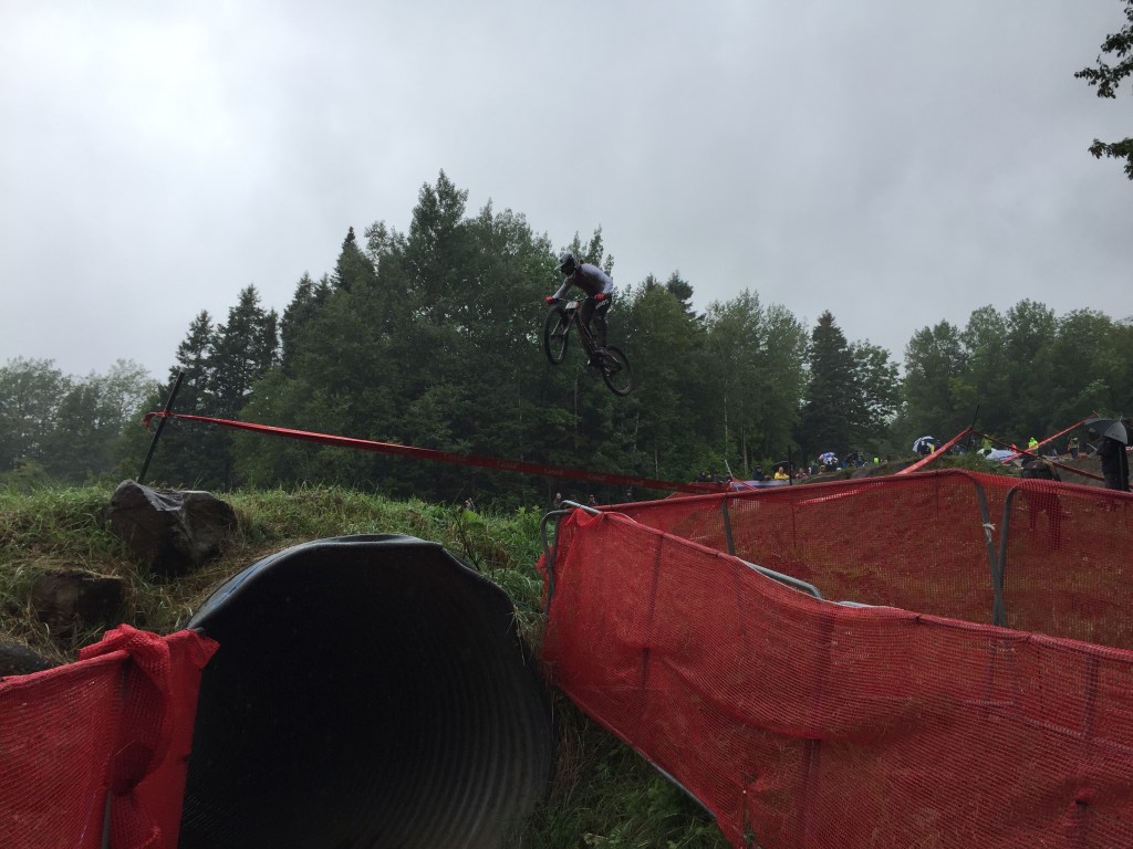
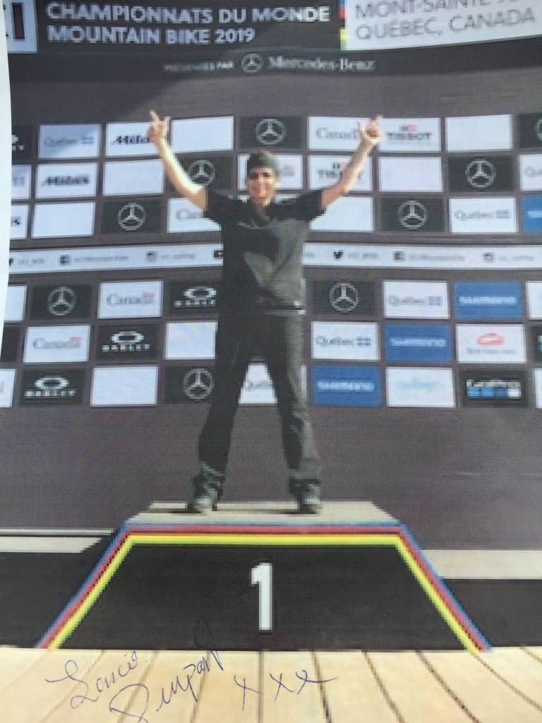
So why this route? The World Cup Mountain Biking Championships were taking place in Mount Saint Anne’s in Quebec and I had plans to attend. Many travel options presented themselves from Newfoundland to Mount Saint Anne’s. One option that caught my eye was the Trans-Labrador Highway and it became my chosen option.
During my travel through Canada, I often discussed my Trans-Labrador highway plans with locals . The response from Canadians usually fell into one of three categories.
1) Never heard of it.
2) Yep, kind of a bucket list item, and
3) A look away, with no response and change of conversation, which I finally came to realize is the Canadian polite way of saying, why would you want to do that.
I will let the reader guess which category the vast majority of responses fell into.
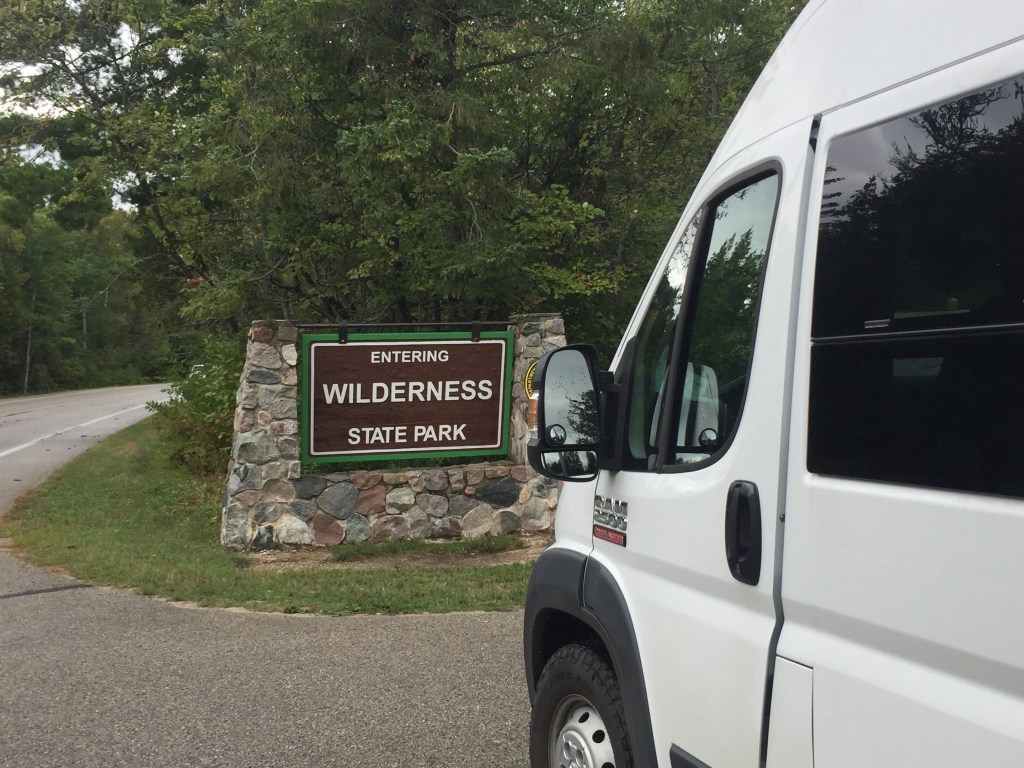
LABRADOR
Labrador has 113,640 square miles, which is close to the size of Arizona. The population of Labrador is less than 30,000. By comparison, the population of Arizona is 7.3 million. The least populated state in the US is Wyoming has a population of over 500,000.
Most of the early settlement in Labrador took place along the Atlantic coast and interior waterways. Hydro-electric power, mining and war led to further interior development. To link interior and coastal areas, the Trans-Labrador Highway was completed in 1992 and road improvements continue.
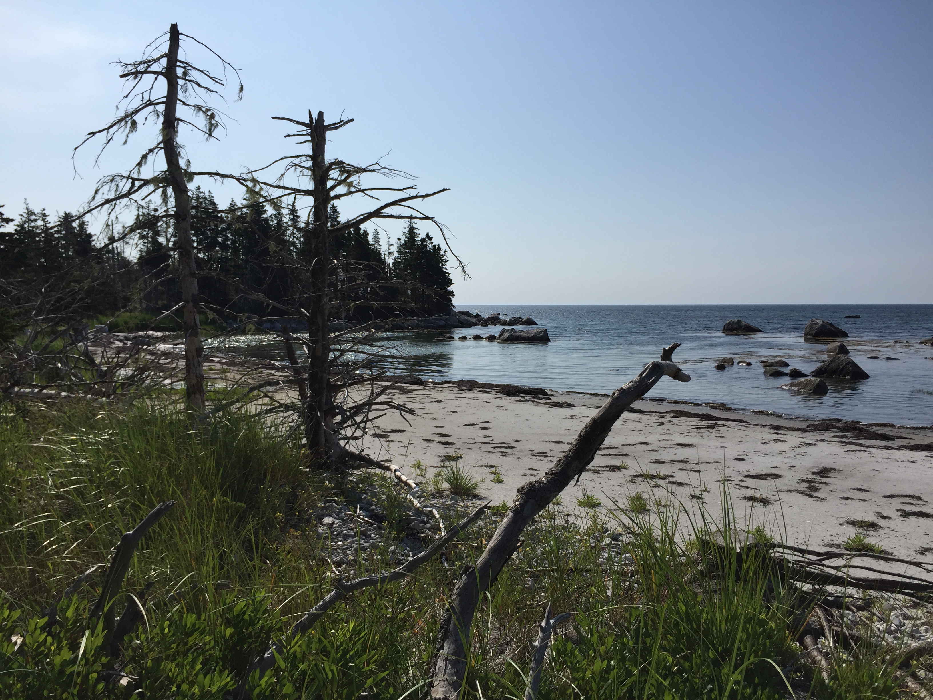
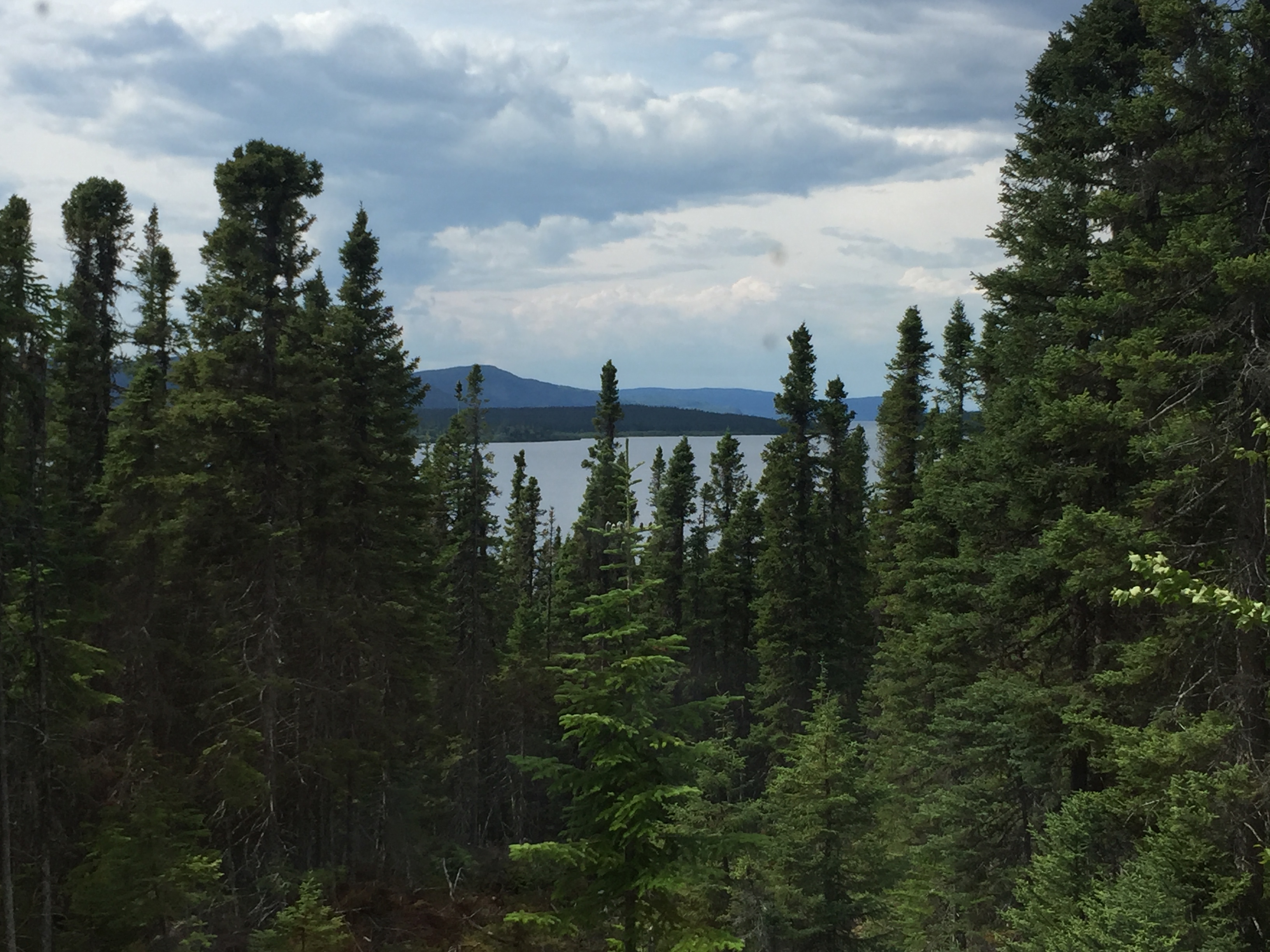
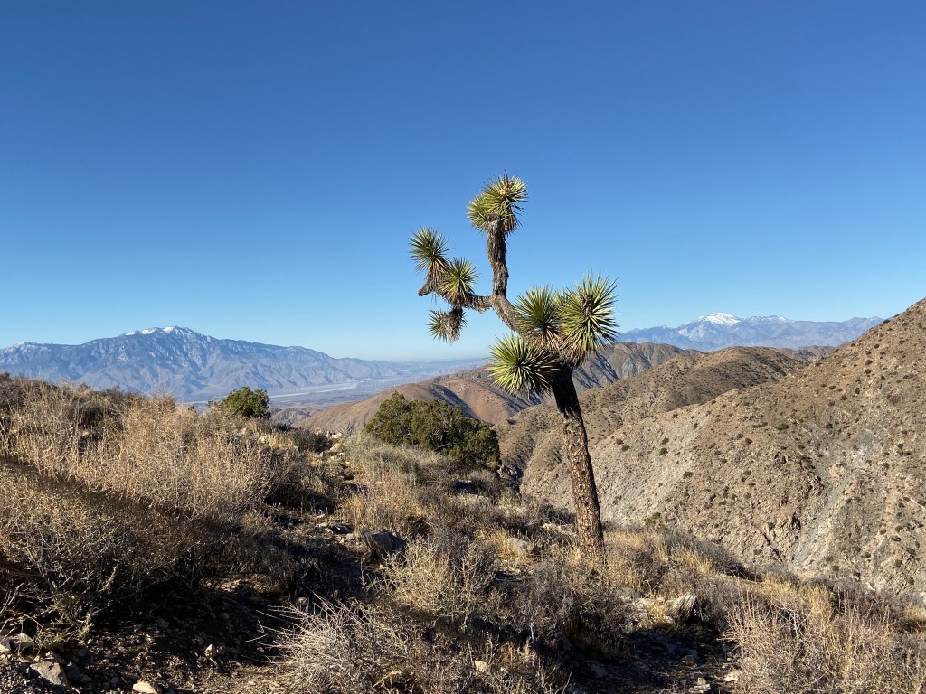
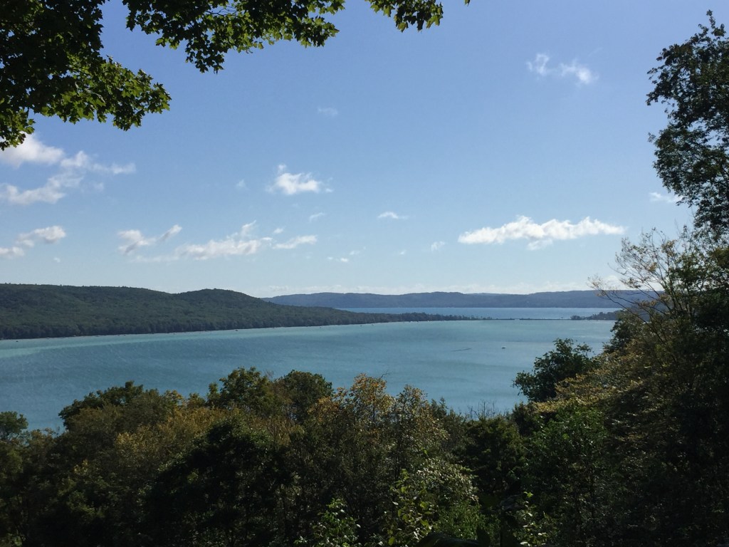
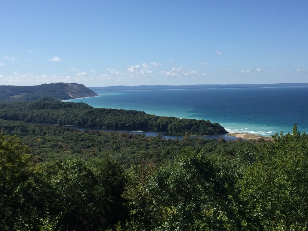
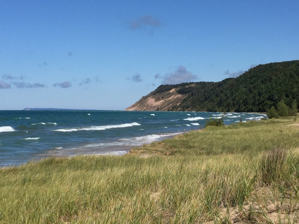
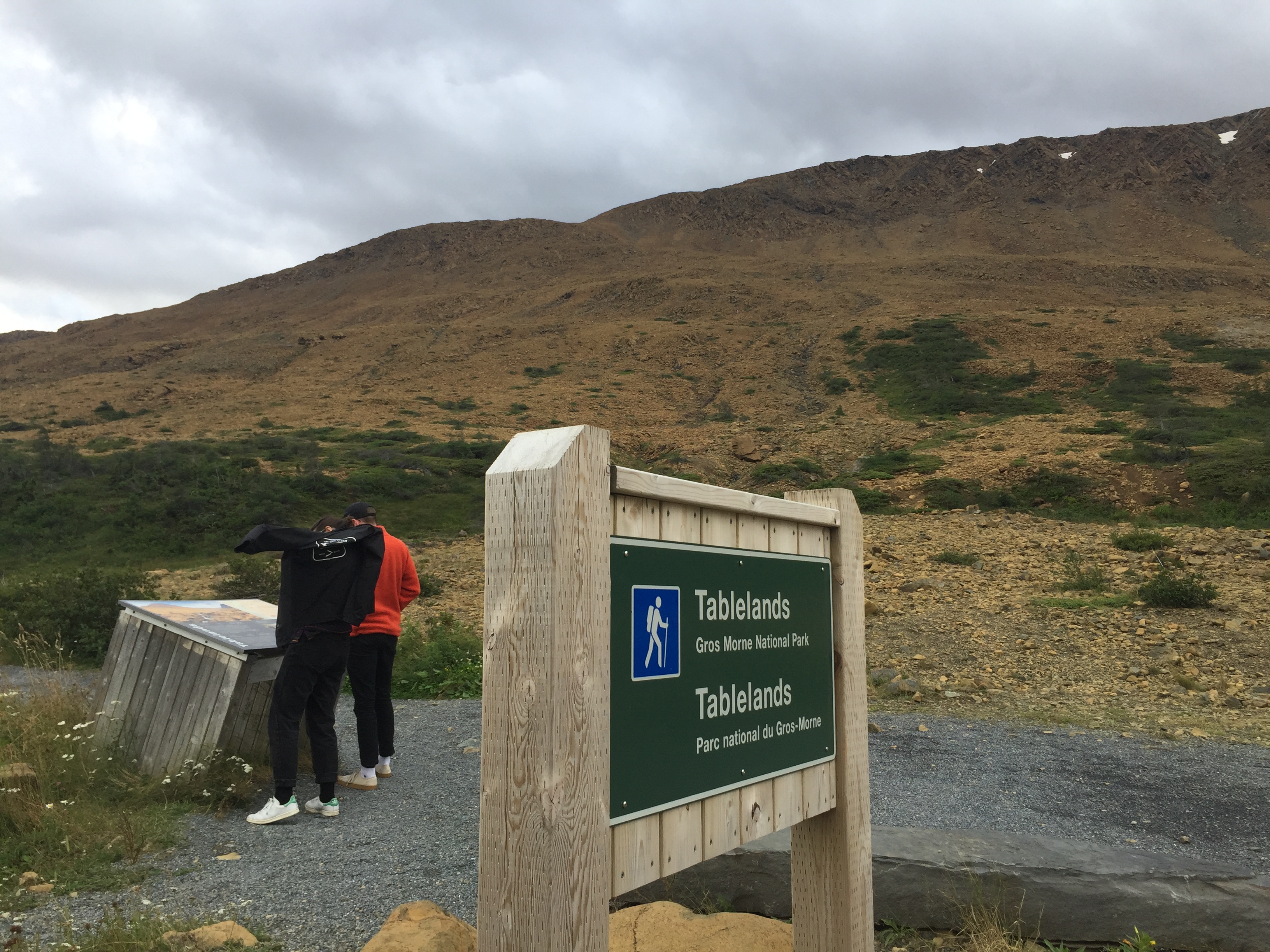
Route 389 while in Quebec has the same remote feel as Labrador
The Journey
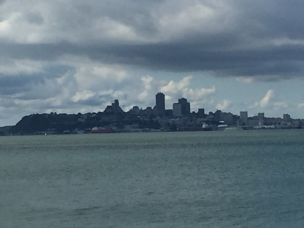
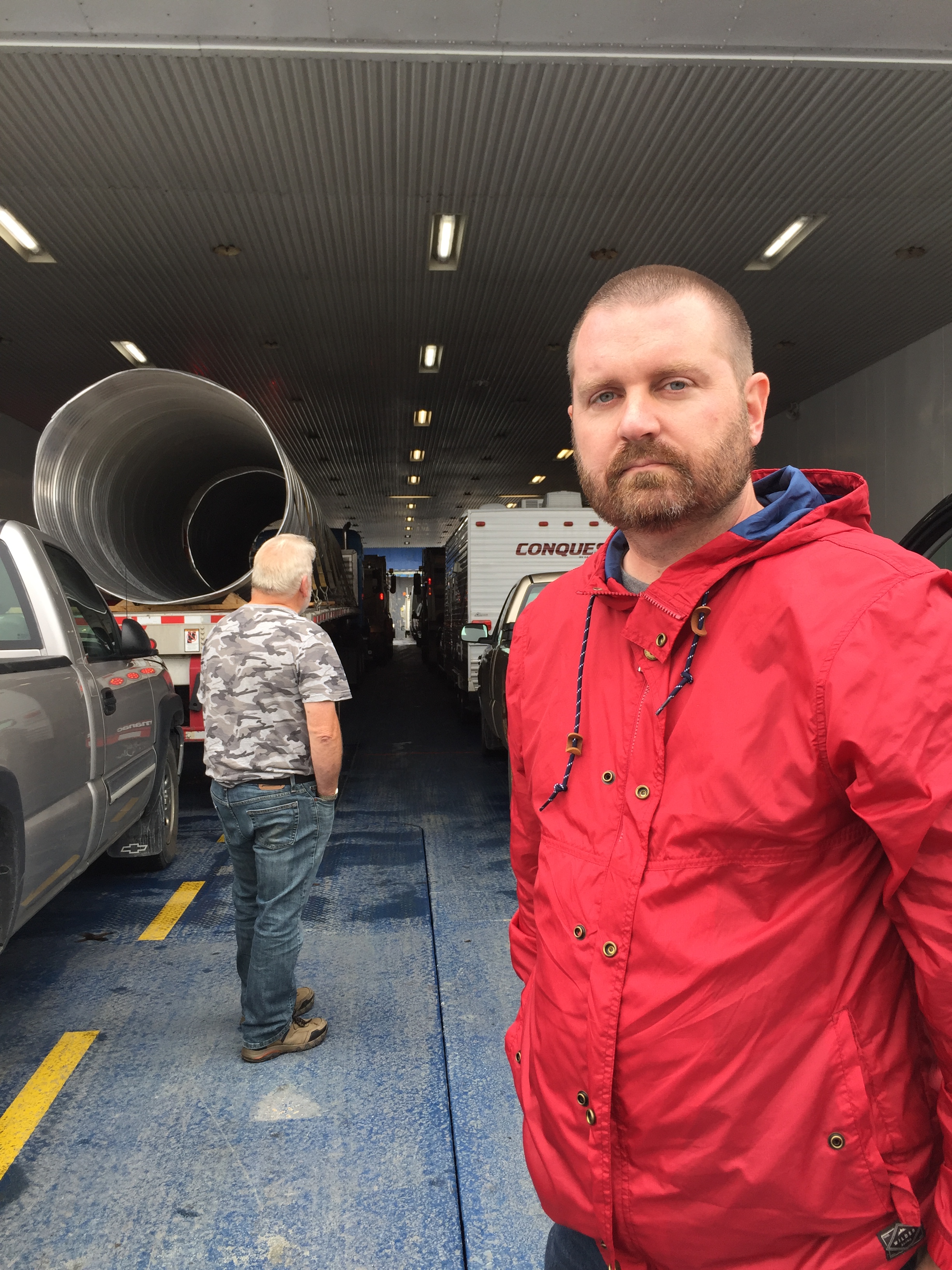
We drove from Blanc-Sablon to Baie-Comeau in three days. We wished we had more time for the drive. However, my son only had so much vacation time and we also wanted to visit Quebec City before he flew home.
Day 1 – Blanc-Sablon to Port Hope Simpson

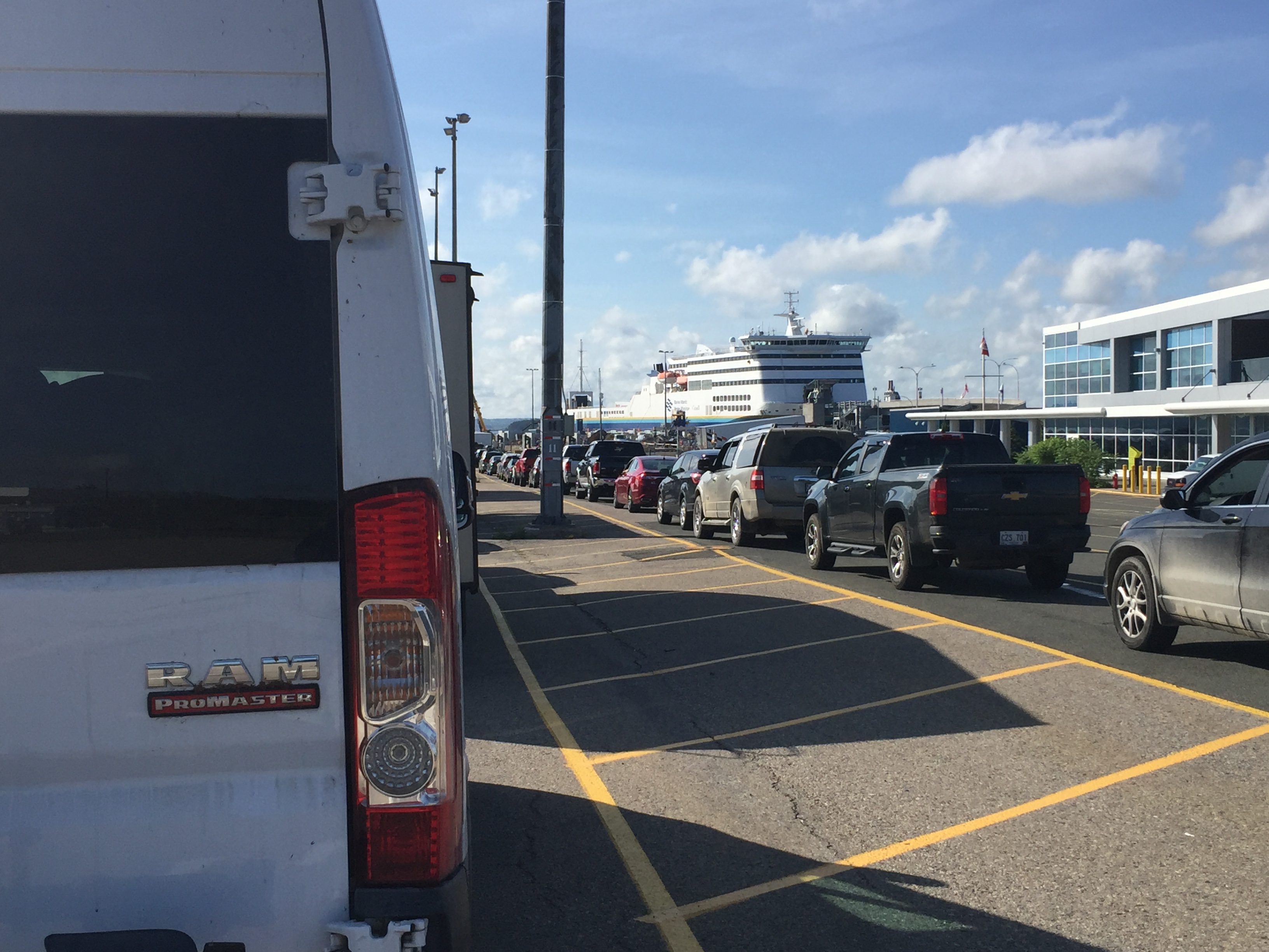
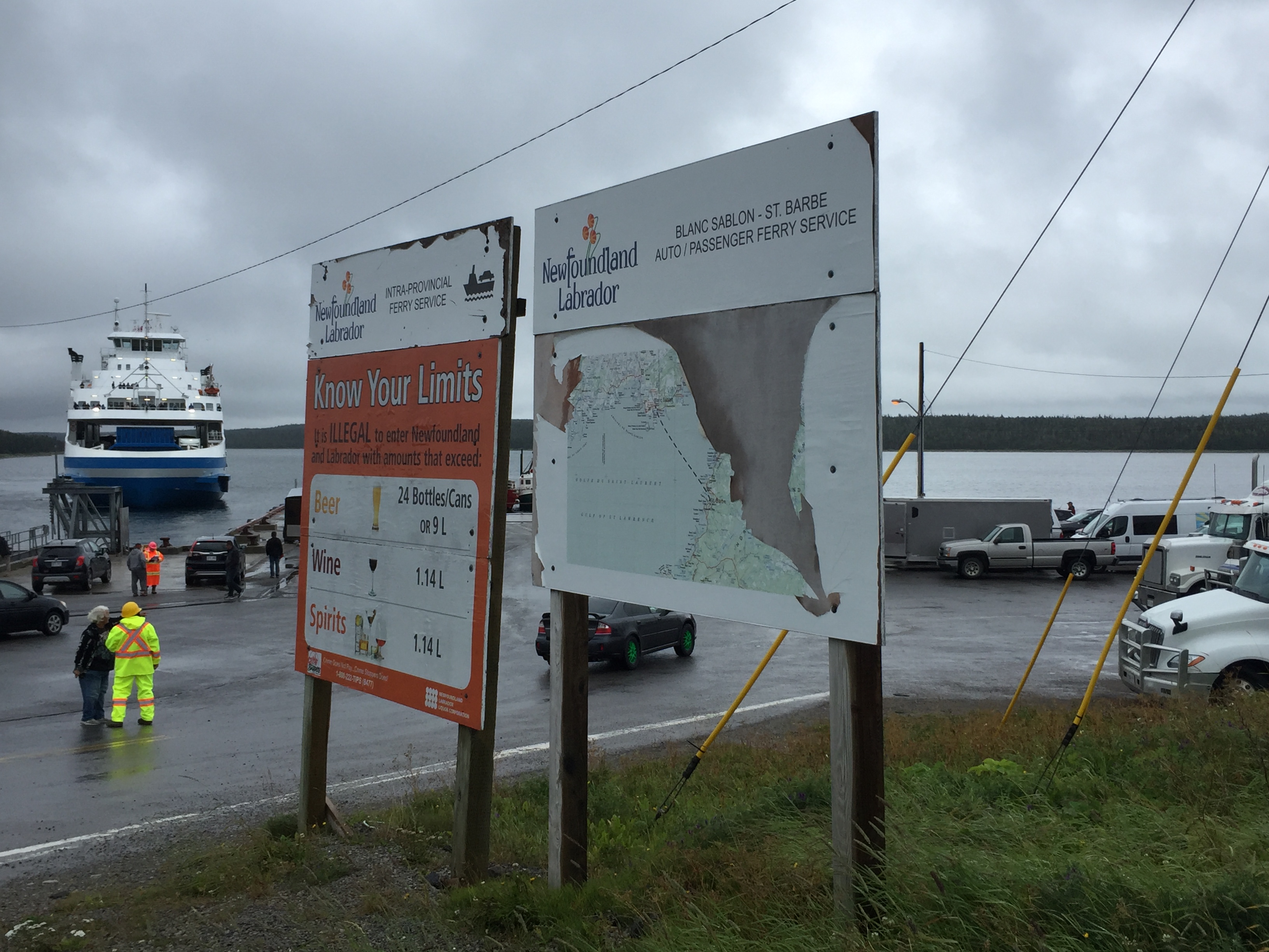
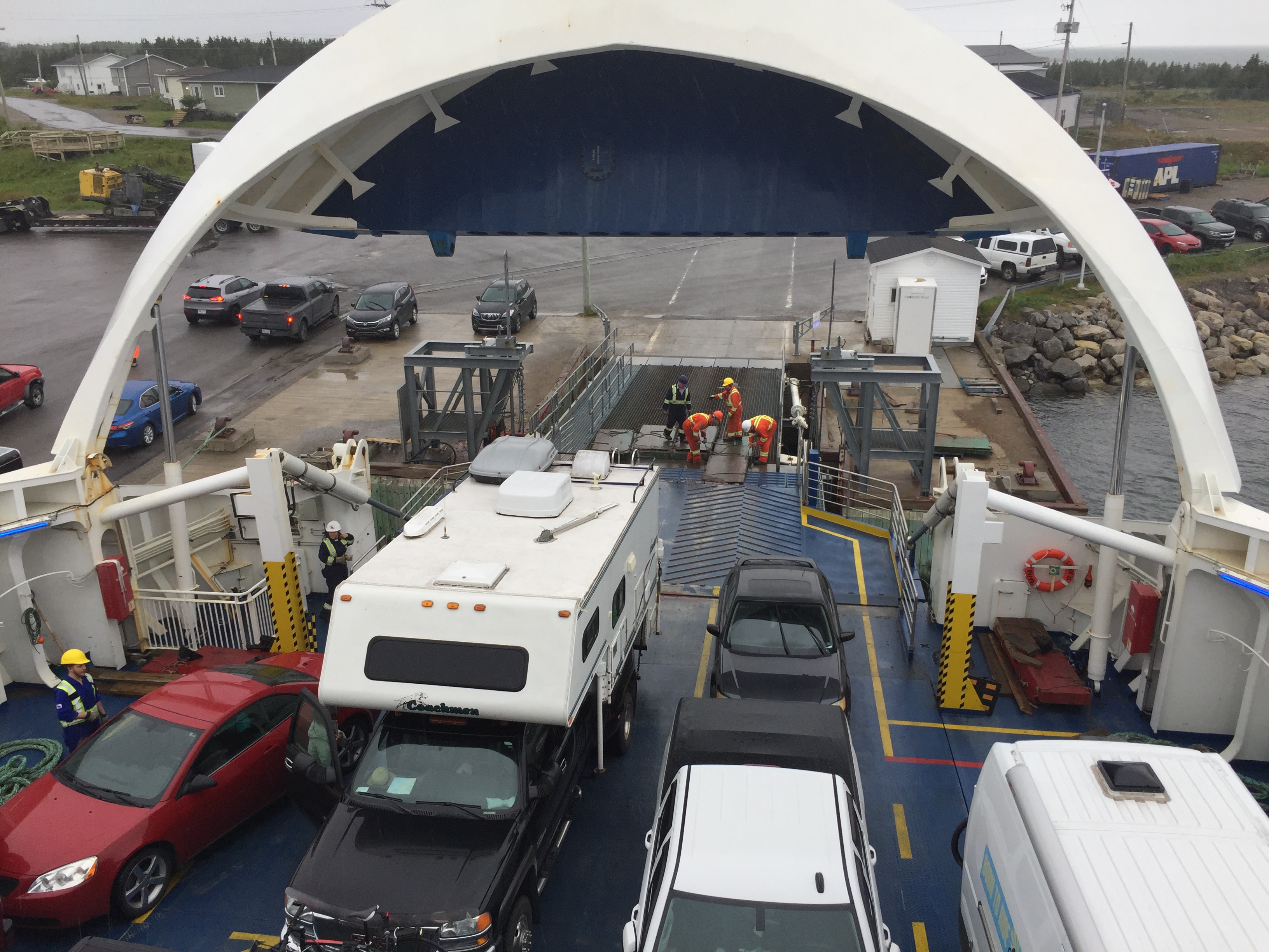
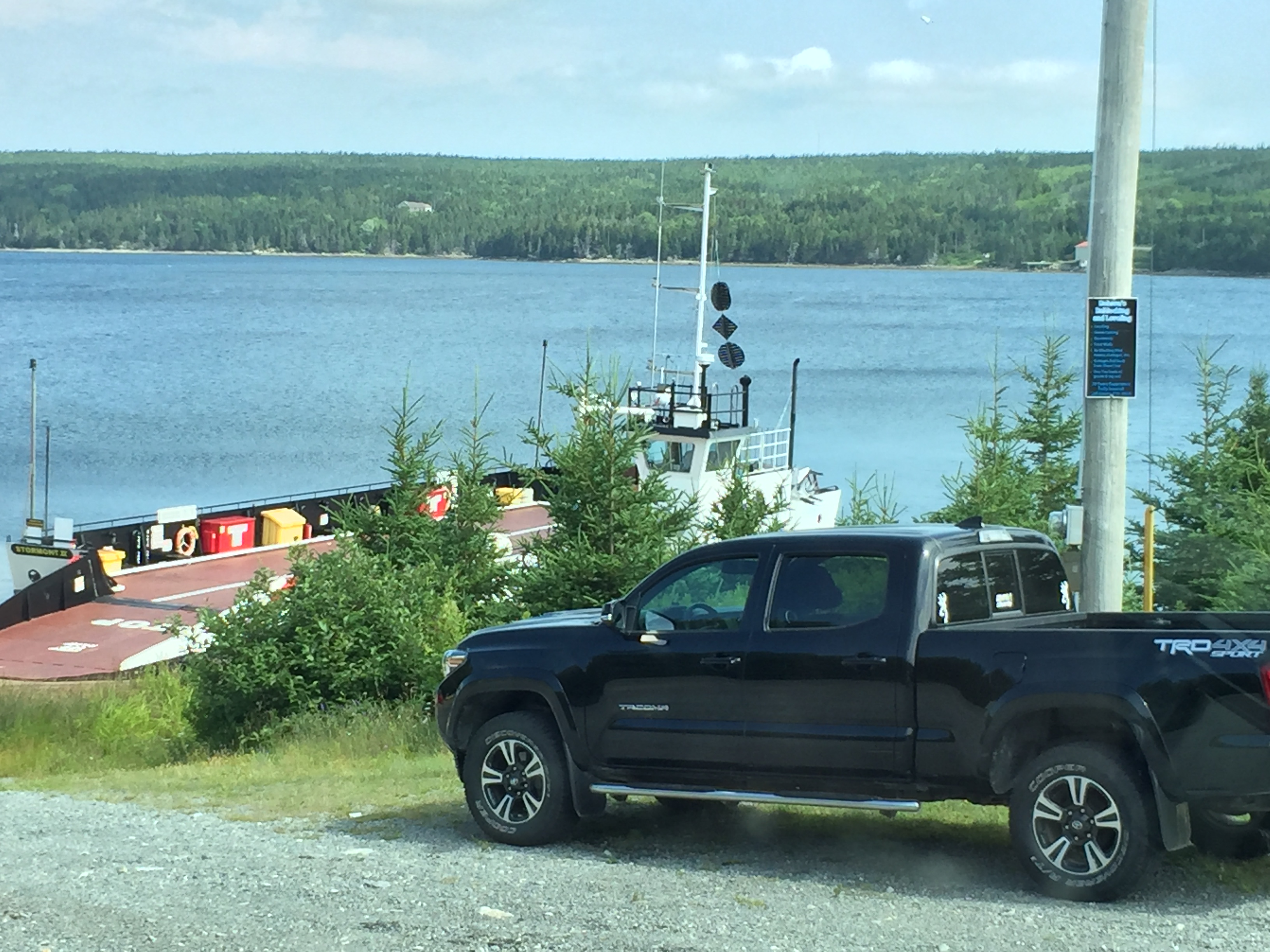
We off-loaded from the Ferry around 4 p.m. We were held up for about 30 minutes at arrival. Two large piston like bolts are used to lock the boat jaws (open and close to allow ramps and vehicle to enter / exit). One of the bolts would not move after many tries and adjustments with hydraulics. Finally, we could see a mate walking toward the jaws with a large sludge hammer. After a few knocks, bingo, all is well.
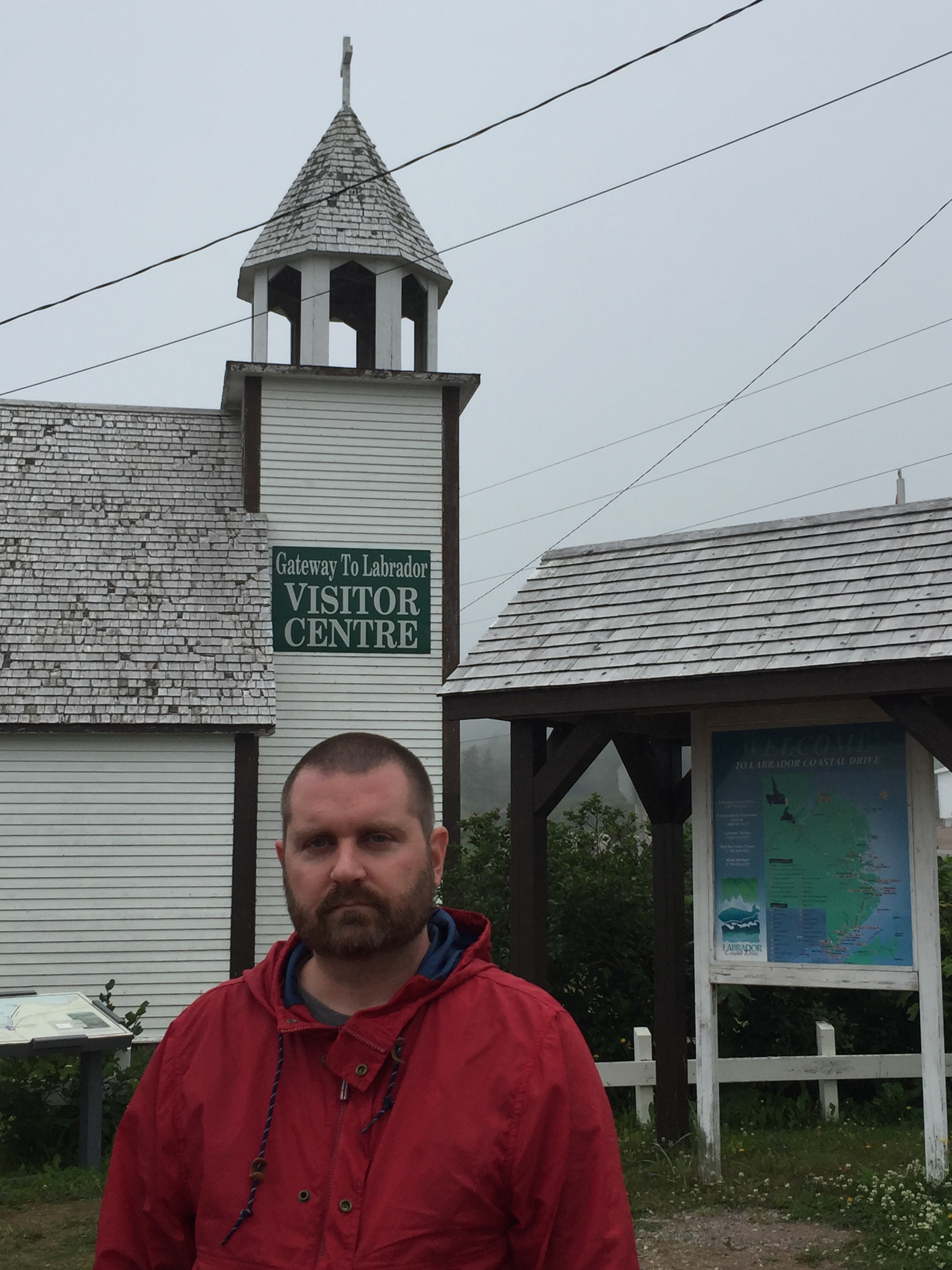
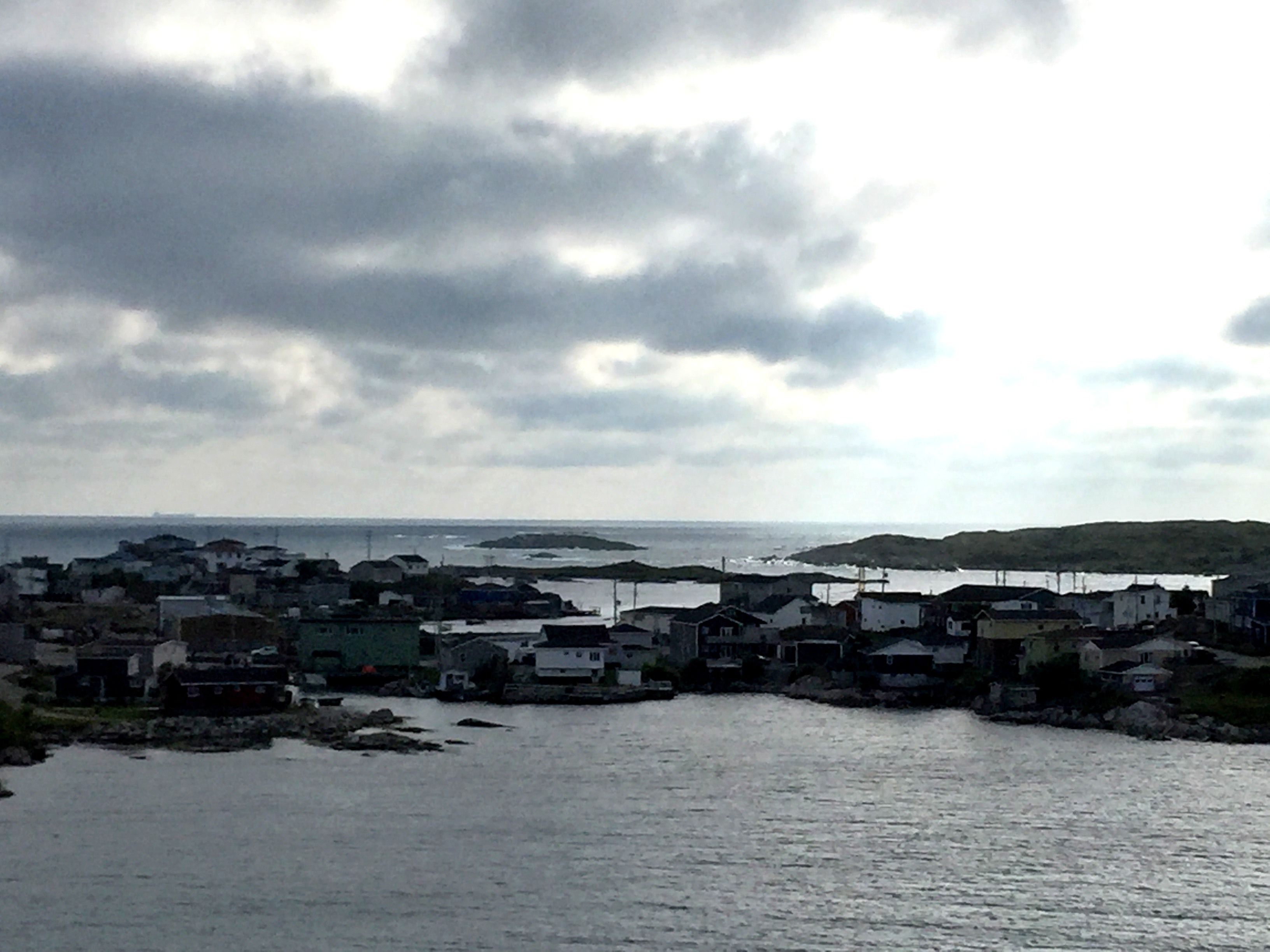
Blanc-Sablon is located within Quebec and a five minute drive takes you to L’anse-Au-Clair, Labrador. Our first stop was the Gateway to Labrador Visitor Center for general information and an update on road conditions.
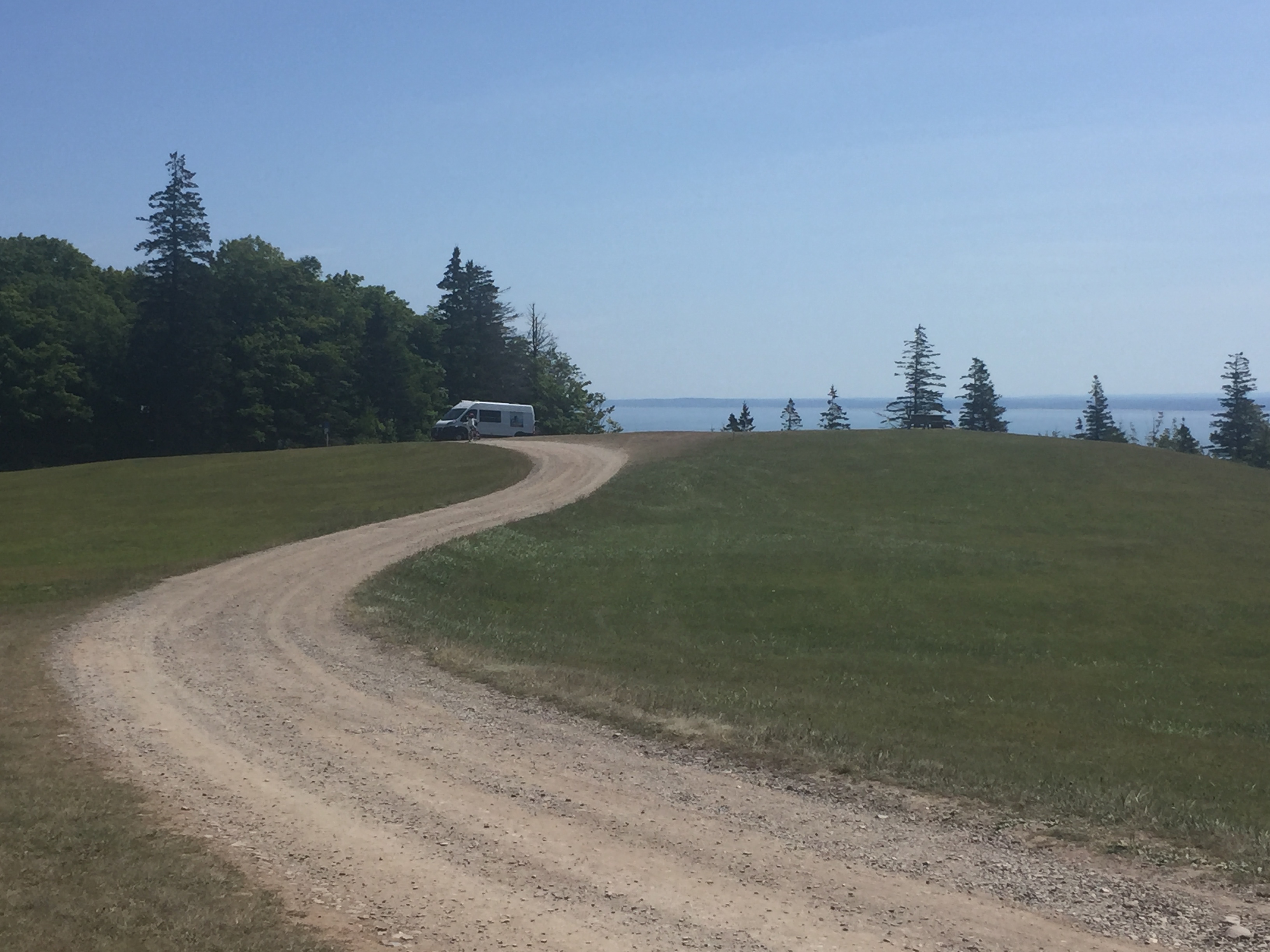
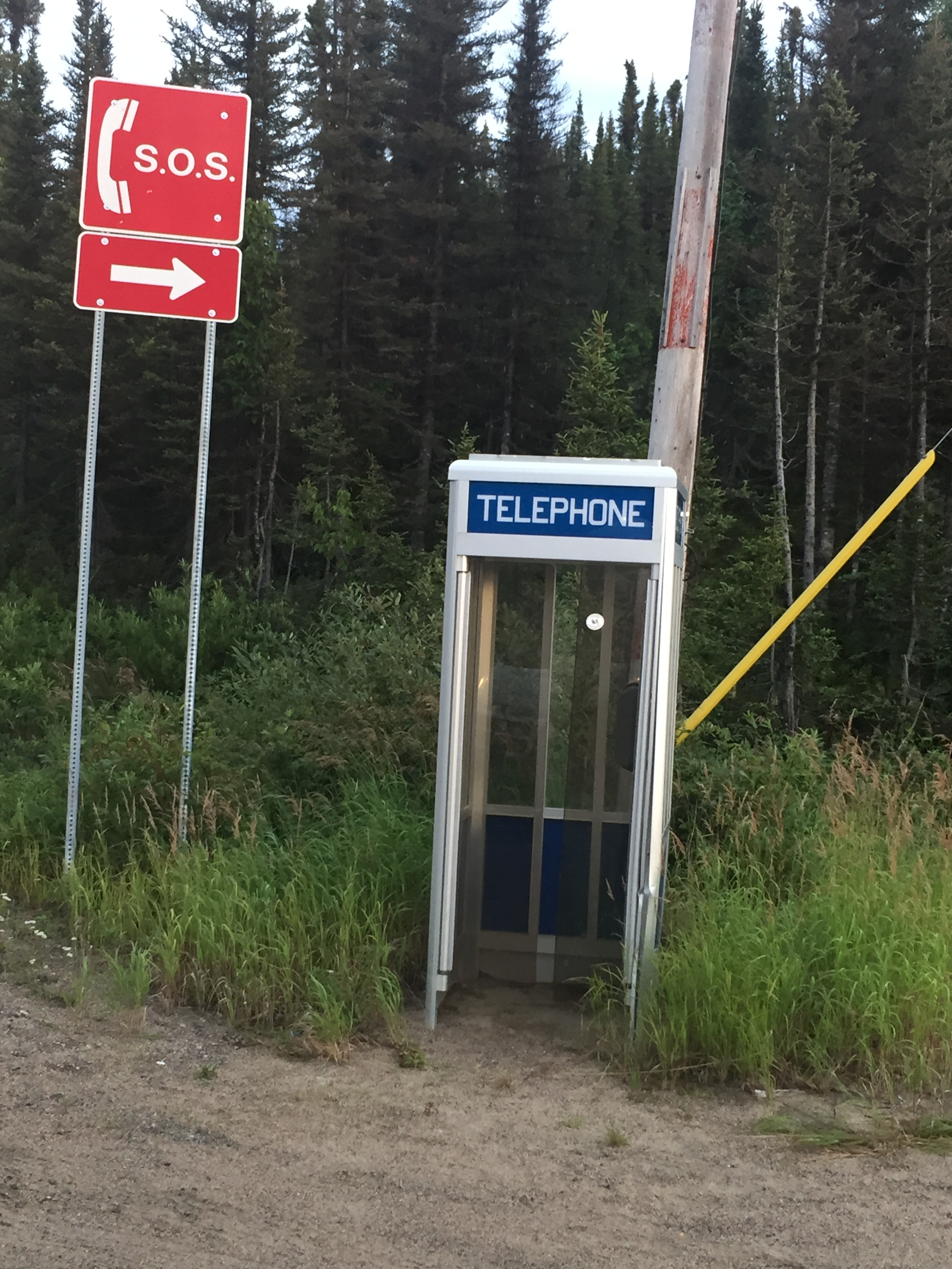
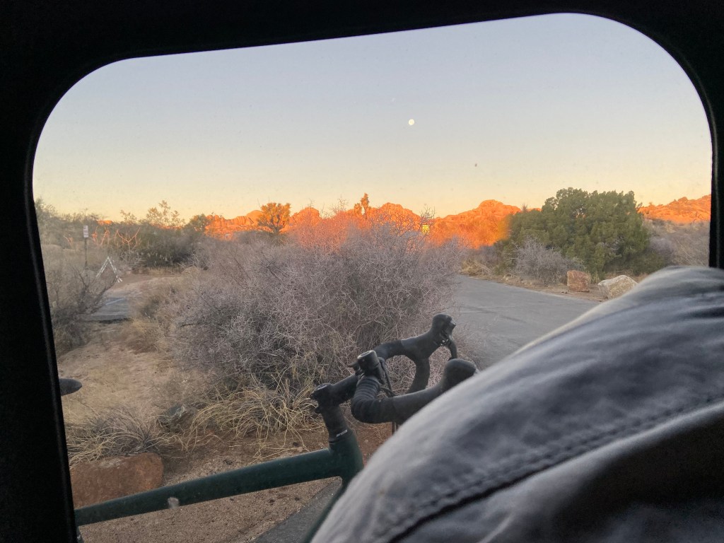
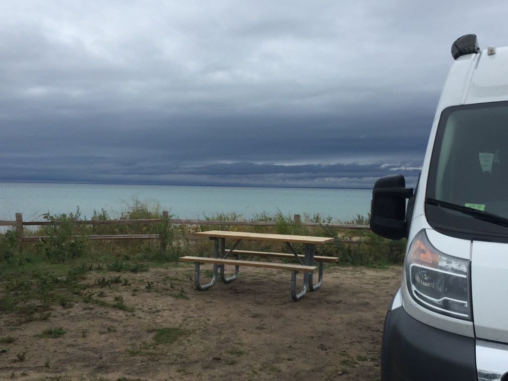
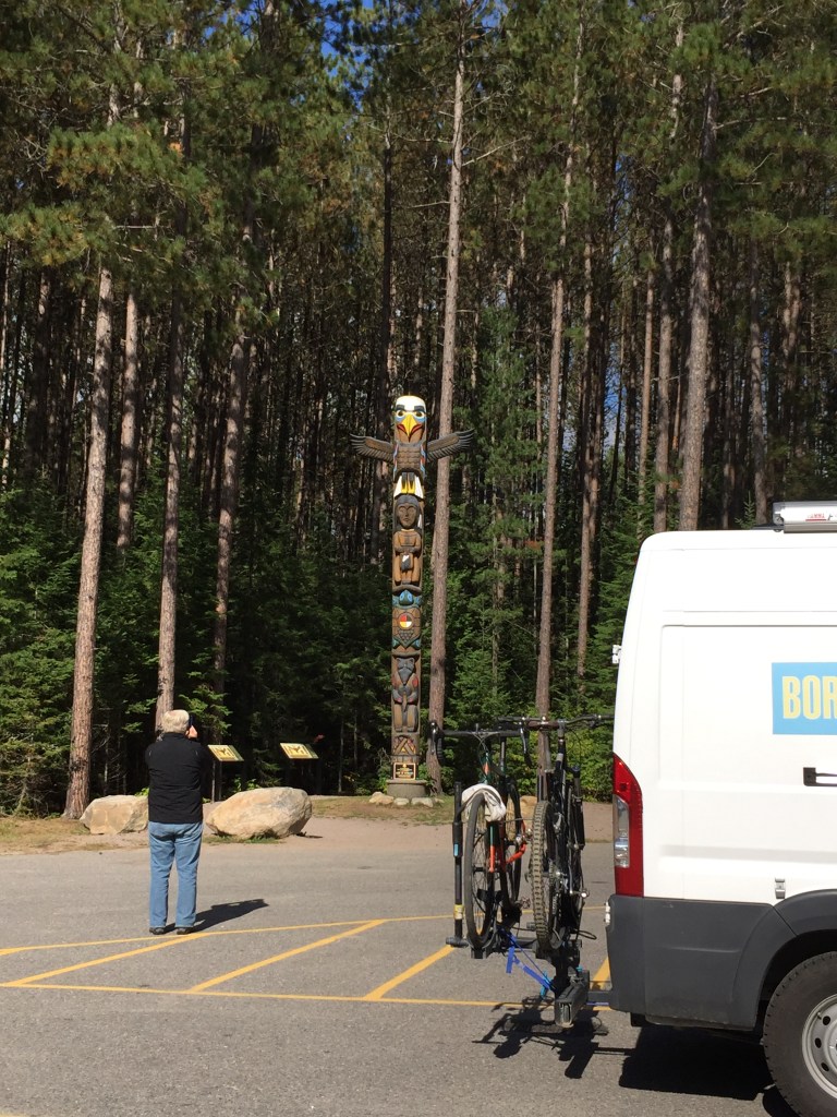
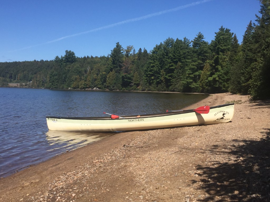
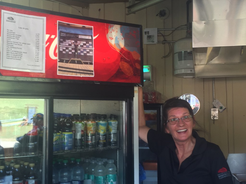
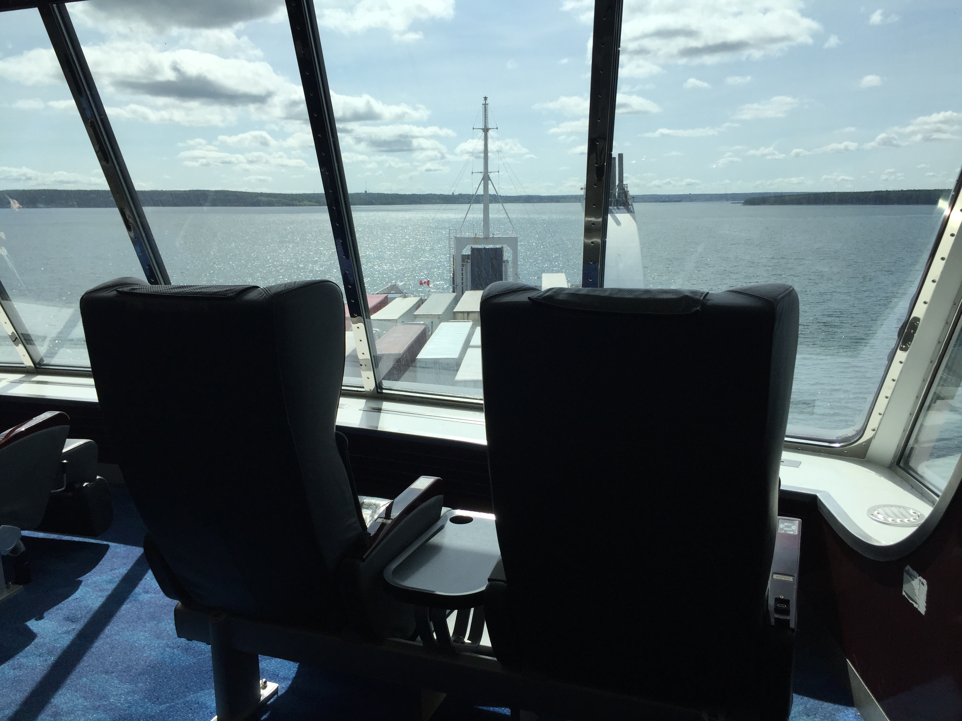
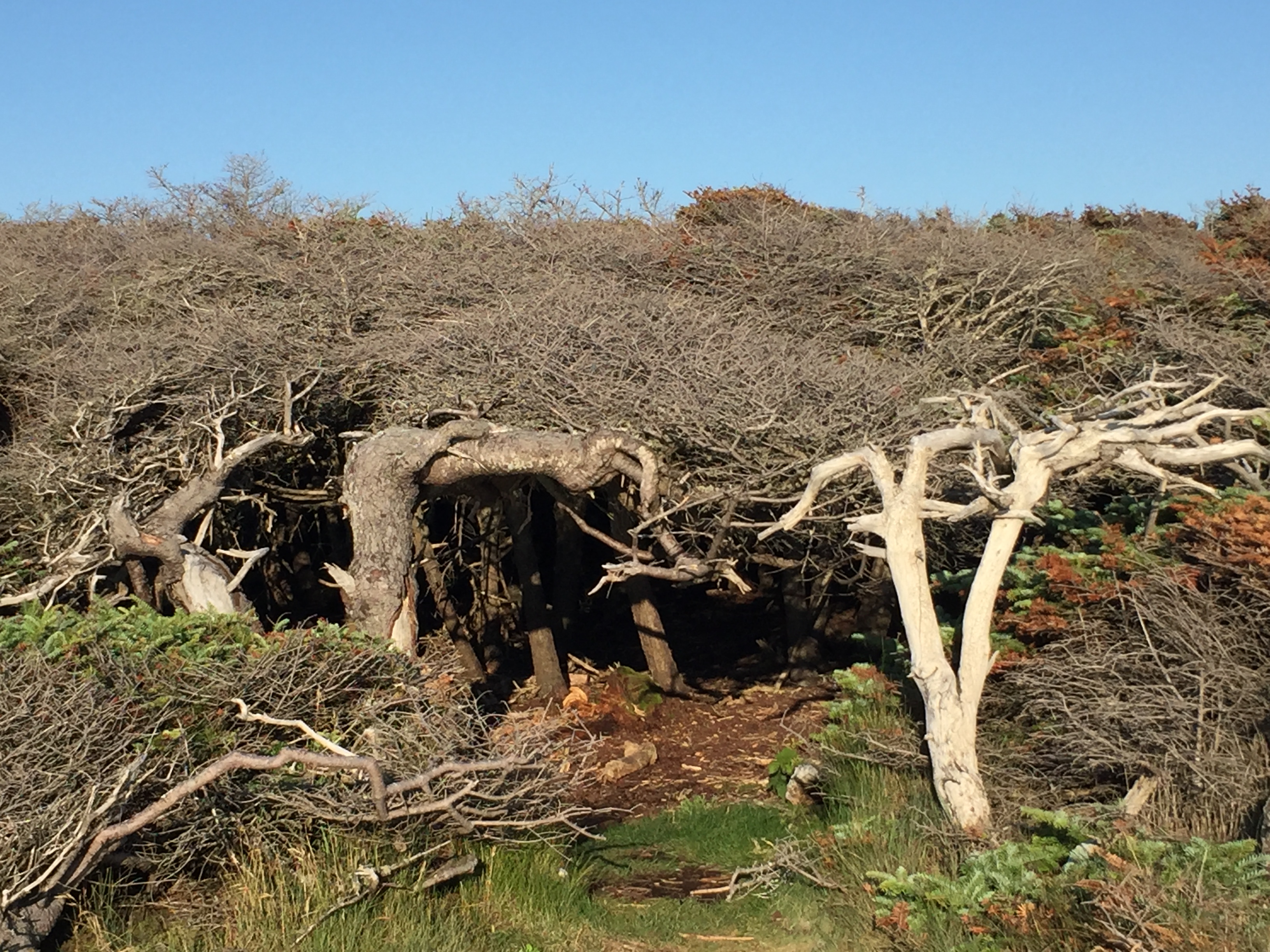
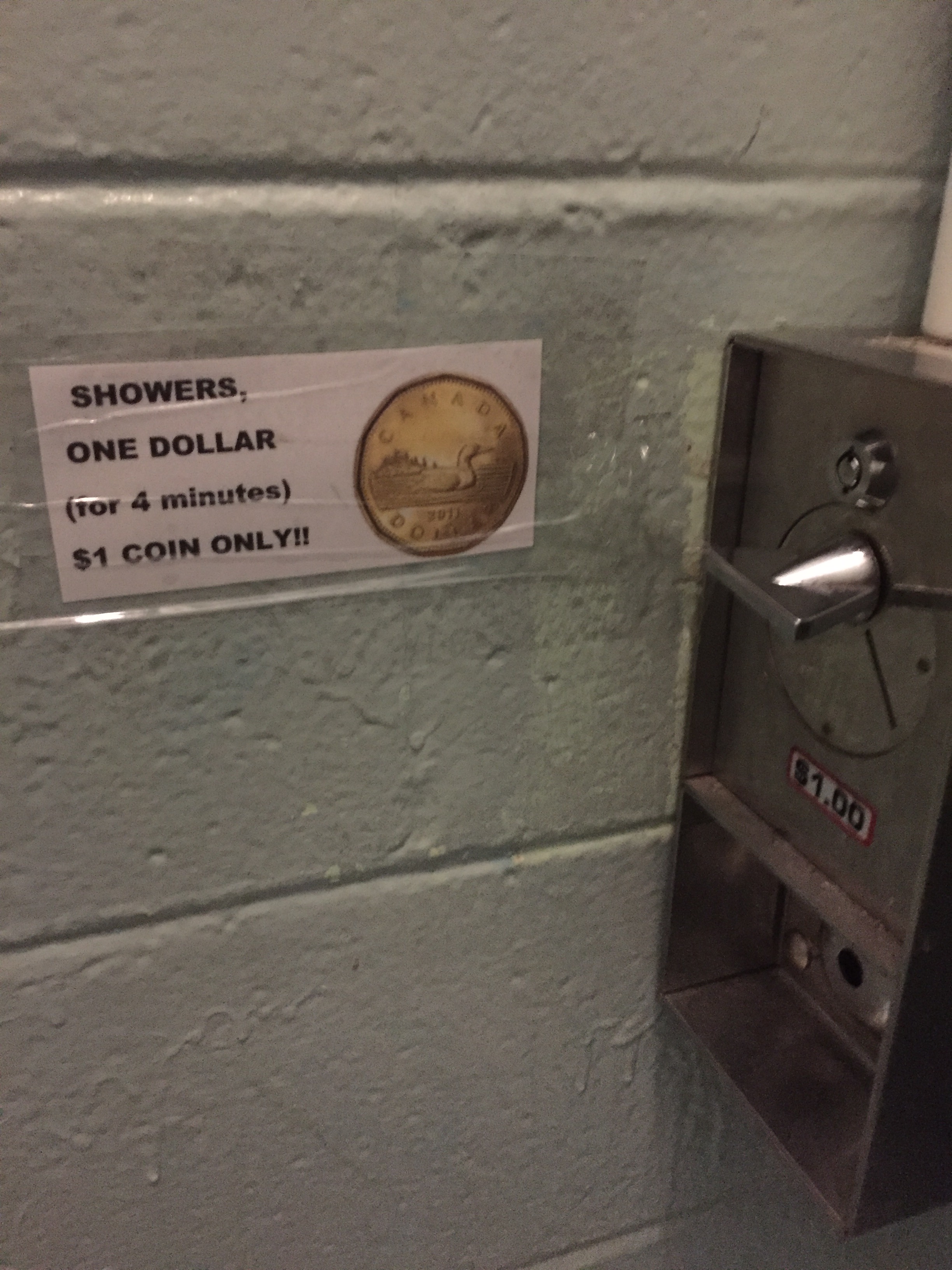
For safety purposes, the provincial government provides satellite phones to borrow for the drive. The protocol is to pick one up at the beginning of the Trans-Labrador Highway and then drop off at the end of the drive. The phones let you call the Royal Canadian Mounted Police. On Route 389, booths (see top picture) are placed periodically along the route. While cell service is available in some of the communities along the route, cell service is not available on 95% of the total drive.
The first location providing a pickup was the Northern Light Inn in L’anse-Au-Clair. We stopped and they noted they had no phones in inventory and we should try in Mary’s Harbor at the Riverlodge Motel.
As it was a Sunday and later in the day, the town was pretty much shut down, so we moved on.
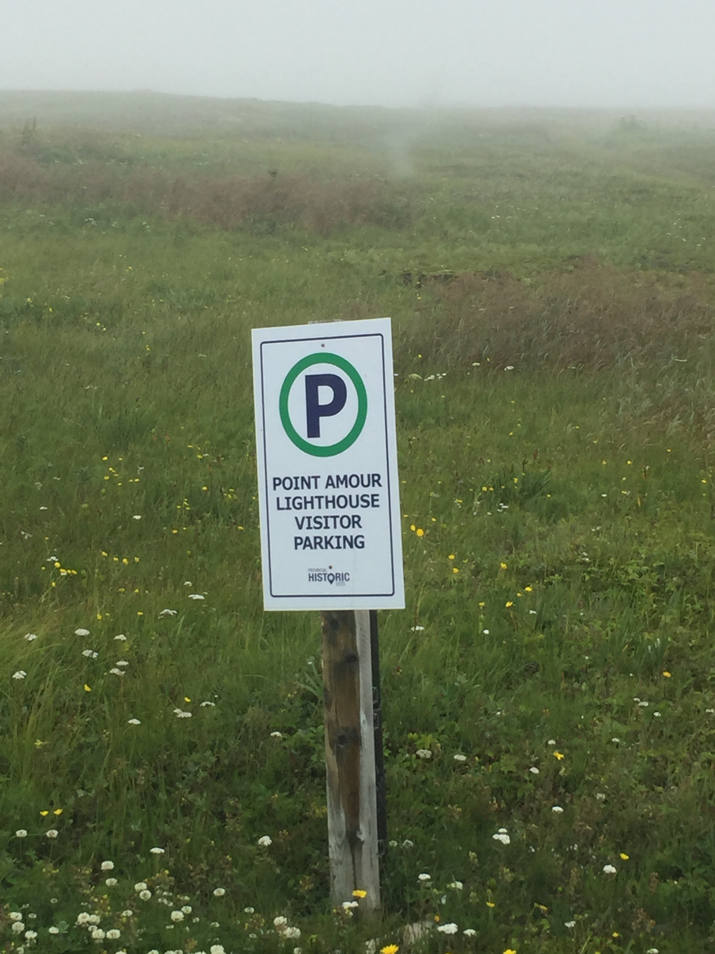
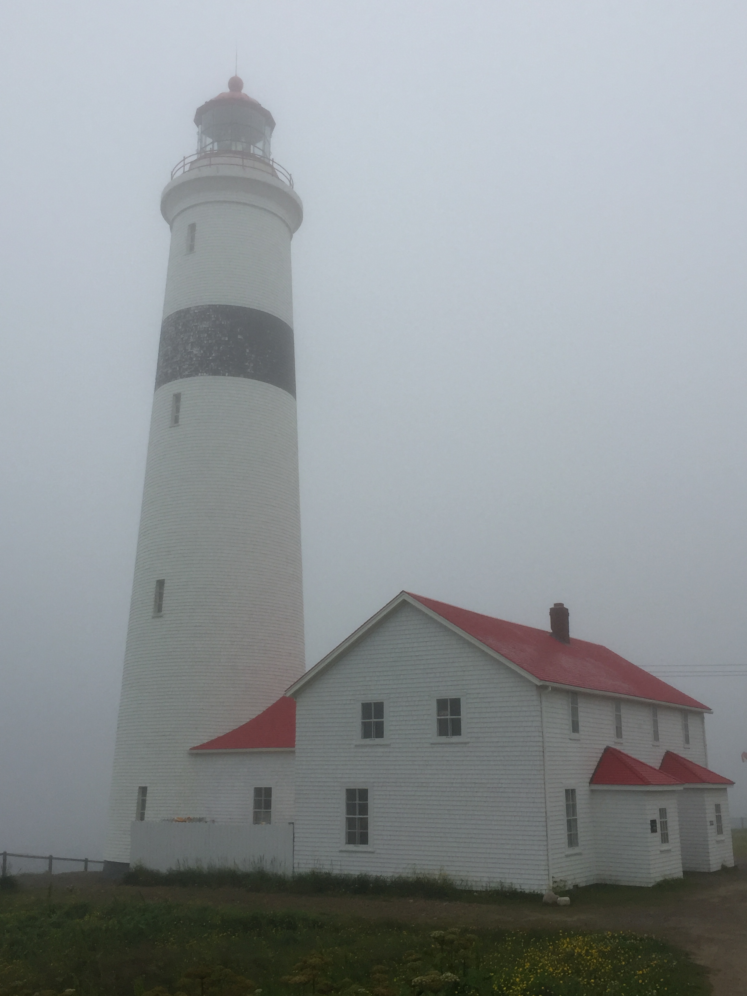
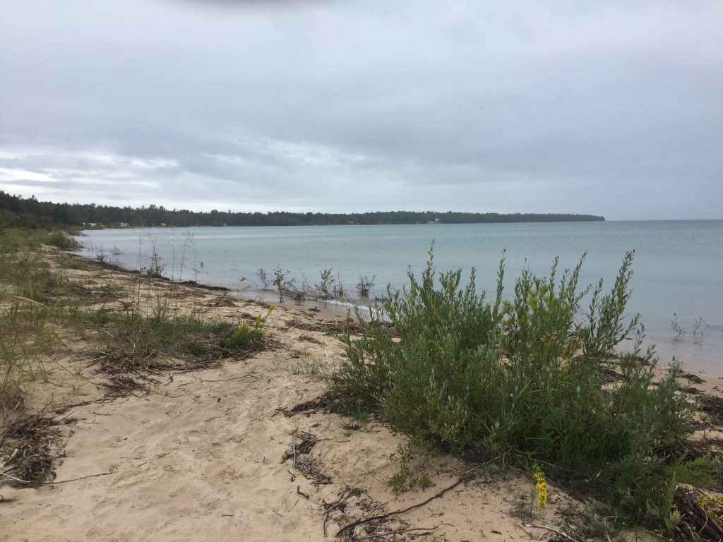
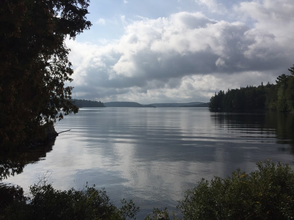
A fog moved in and prevented us from seeing much along the coastal drive. We stopped stopped at a few sites:
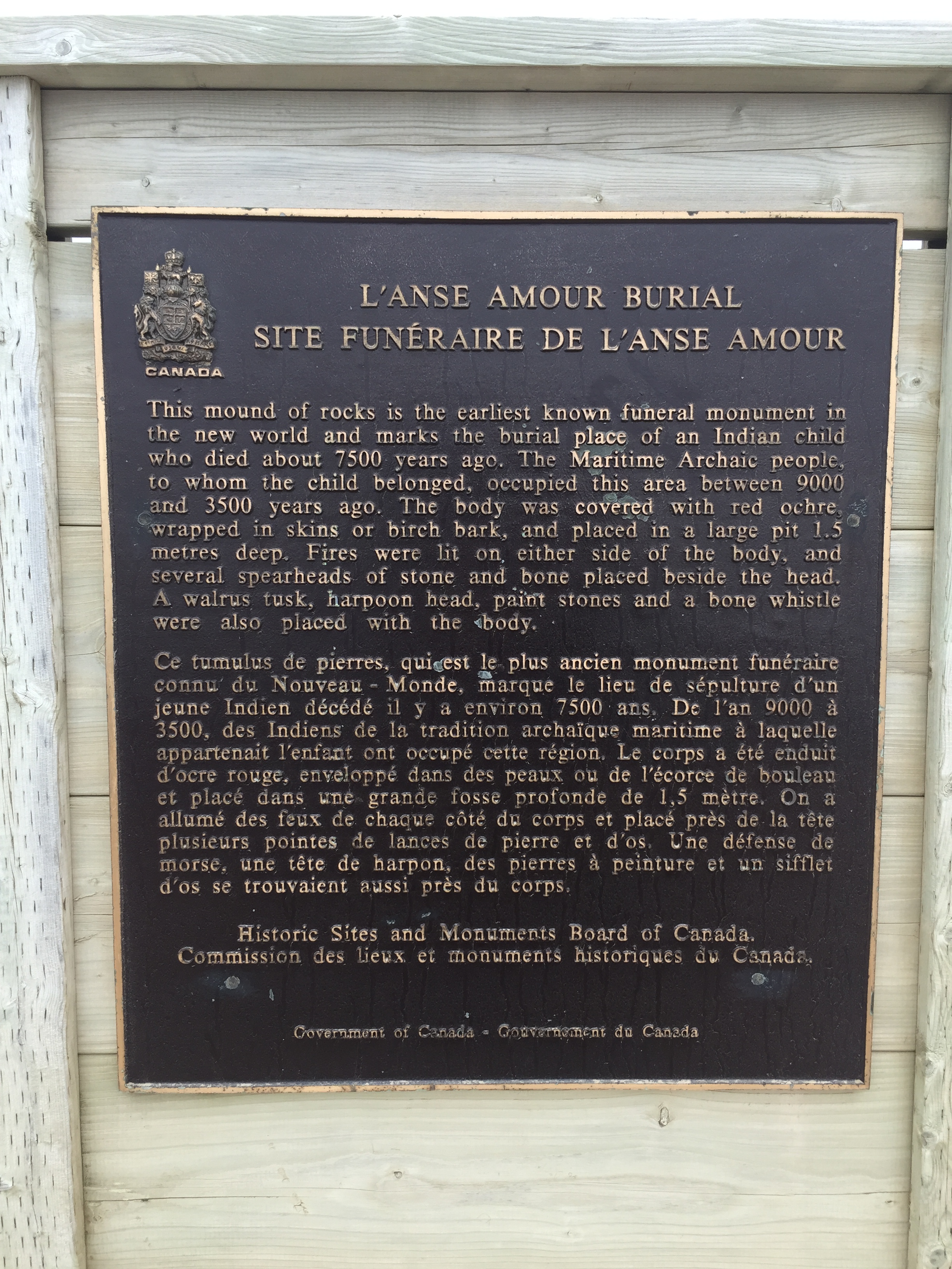
- Maritime Archaic Burial Mound National Historic Site – Archaeologists uncovered the site of a 12-year-old boy dated to 6,900 BC. This is America’s oldest known funeral monument.
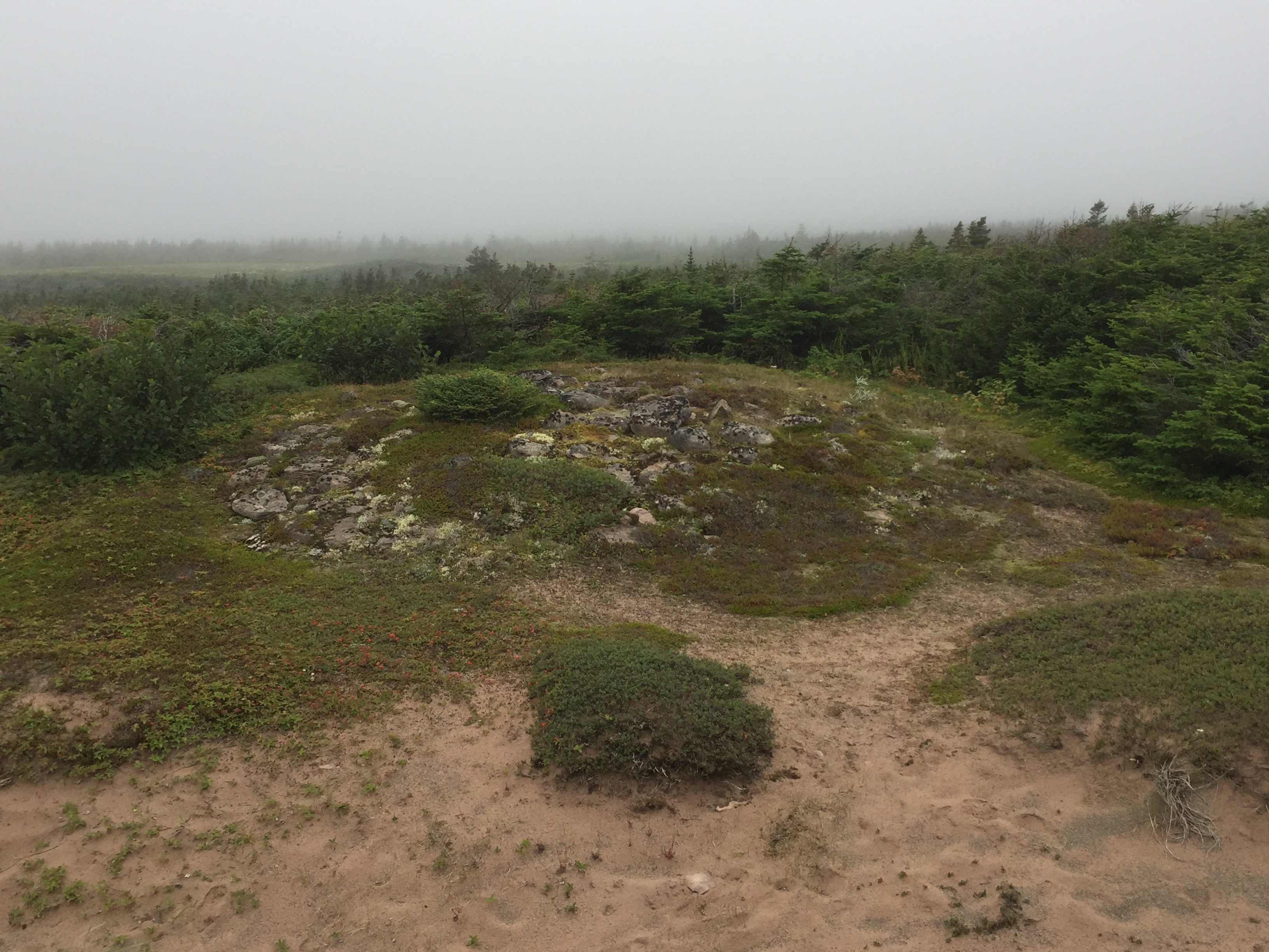
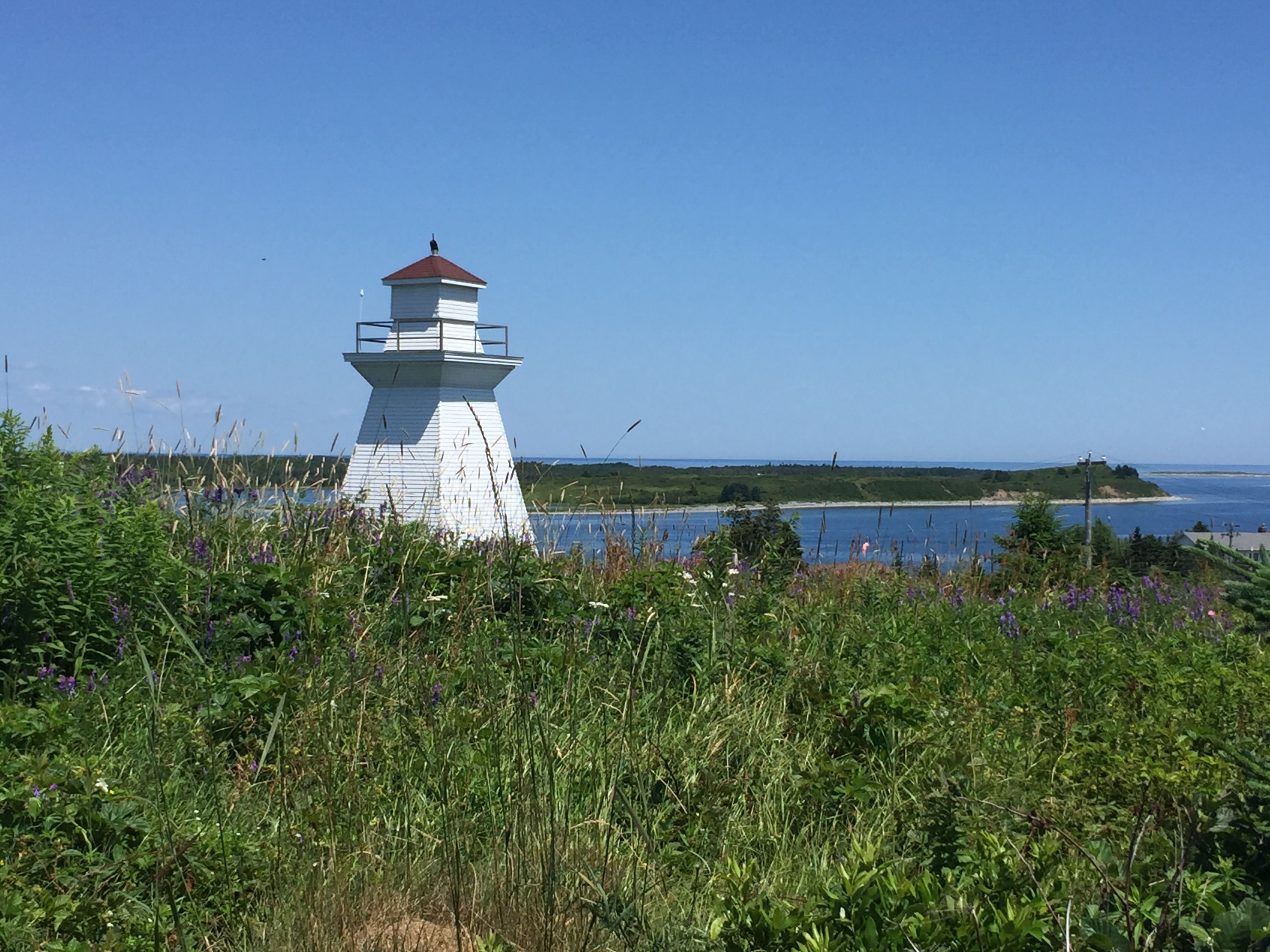
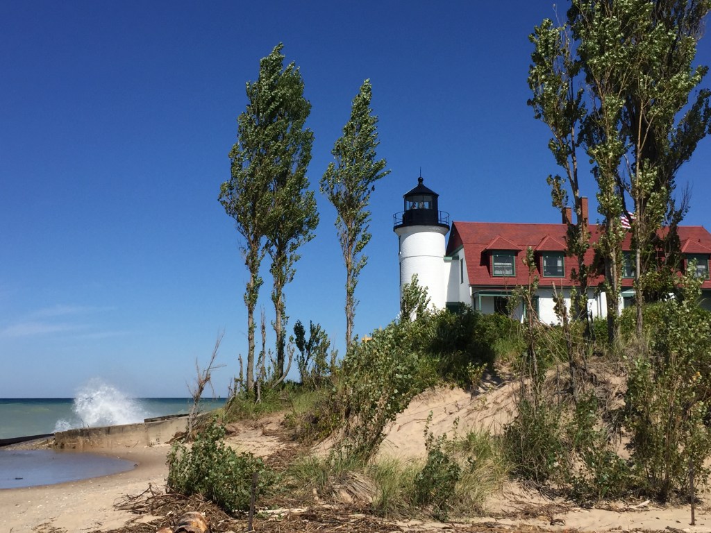
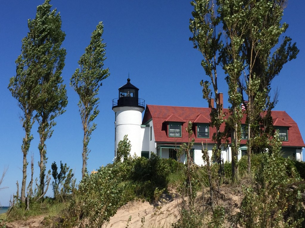
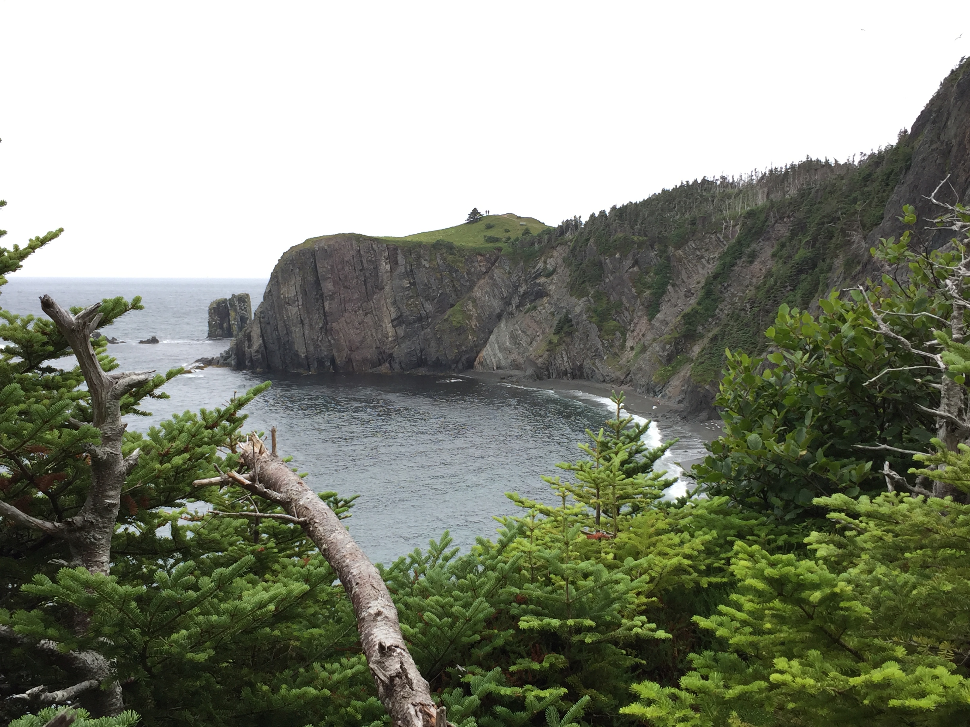
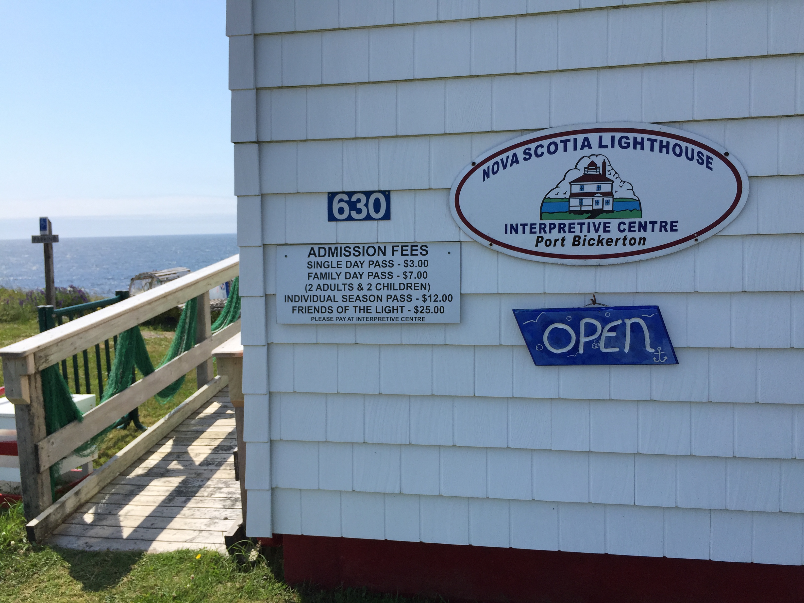
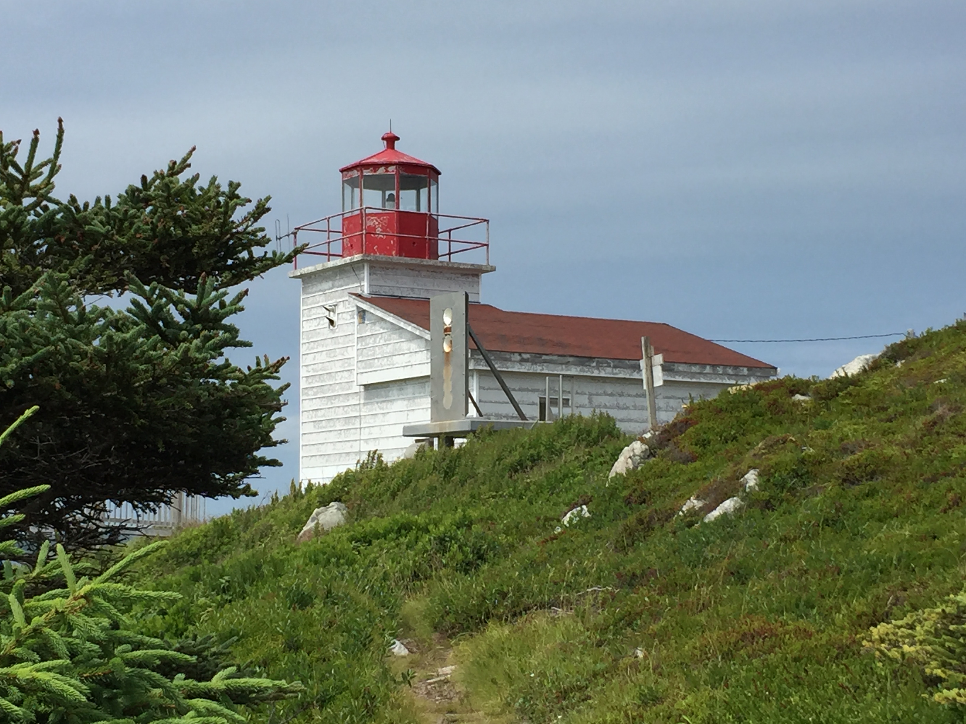
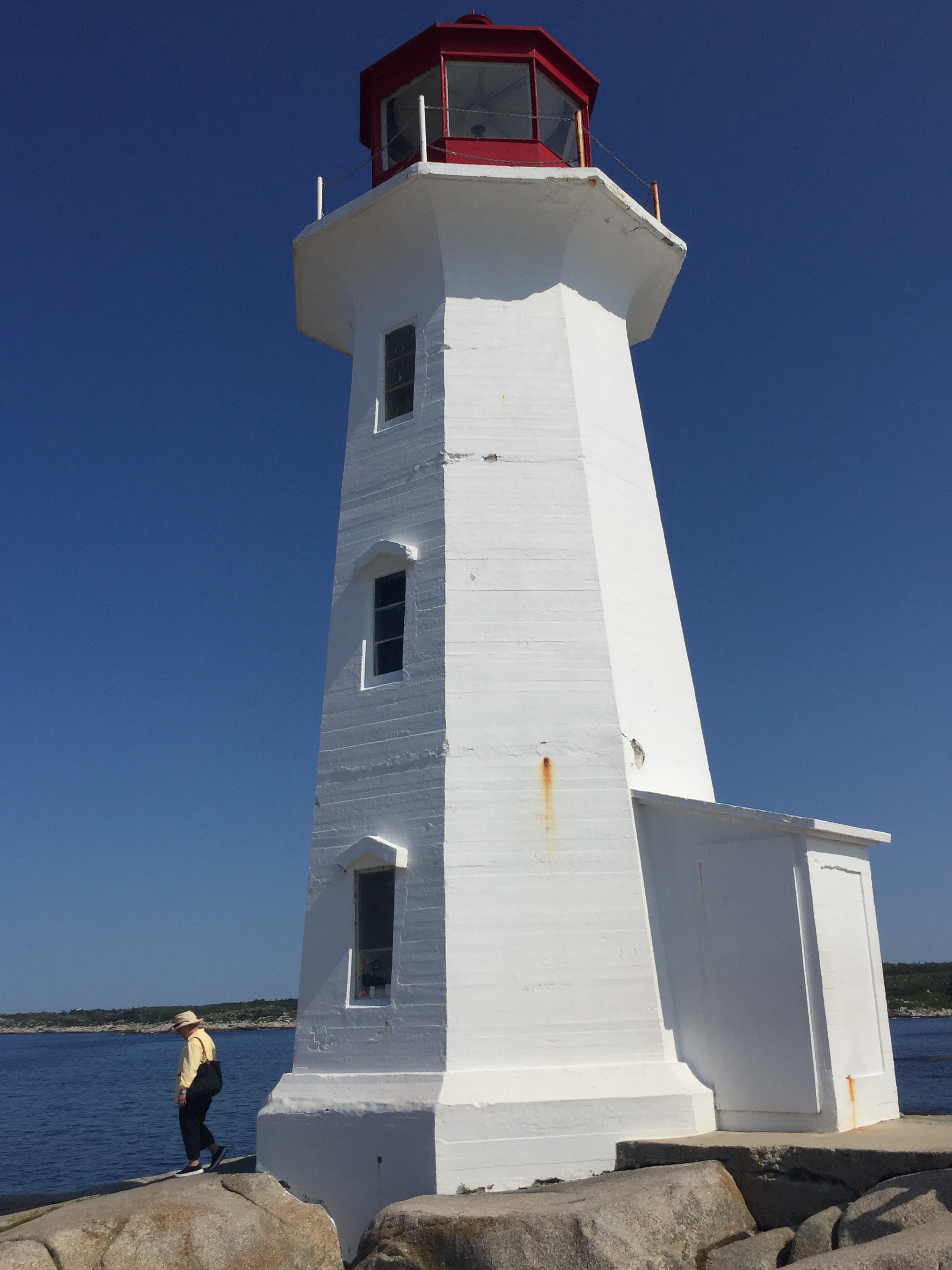
2. Point Amour Lighthouse – Atlantic Canada’s tallest lighthouse
Our next stop was the Riverlodge Motel in Mary’s Harbour to pick up a satellite phone but again none available. Oh well!
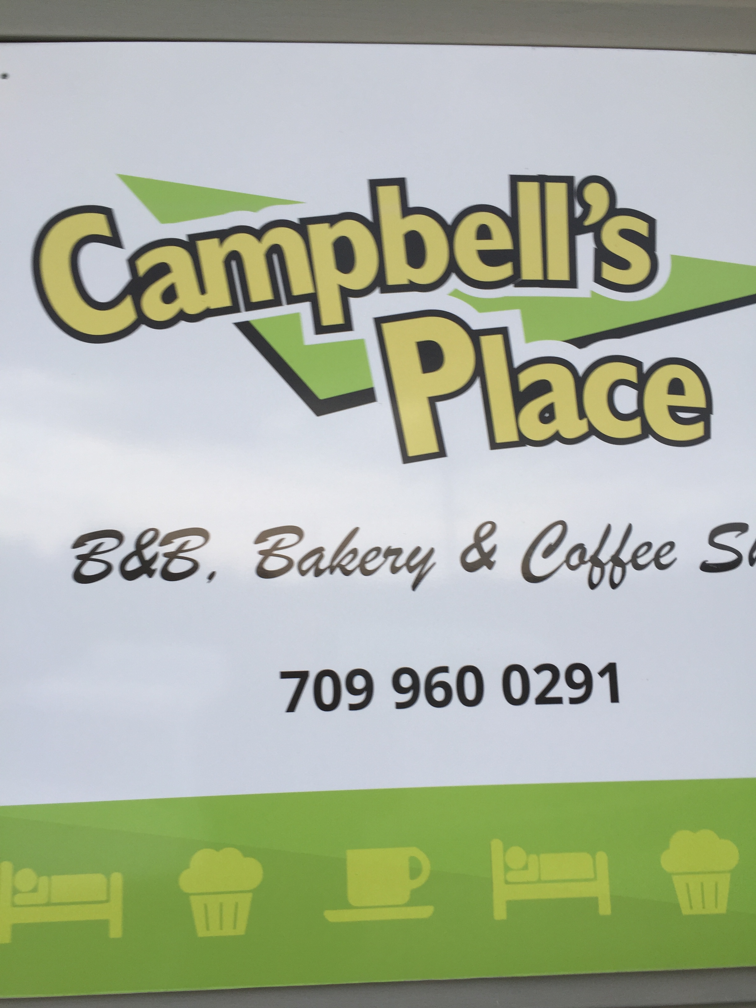
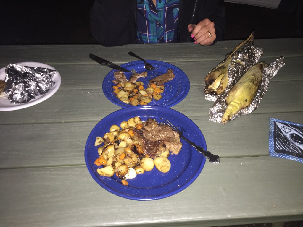
After Mary’s Harbour the road leaves the coast and heads inland. We were looking for somewhere to have dinner and found a restaurant (Campbell’s Place) in Port Hope Simpson. They were just ready to close but saw our hungry faces and let us order. Great people! The waitress also told us of a pull-out on the highway where we could spend the night.
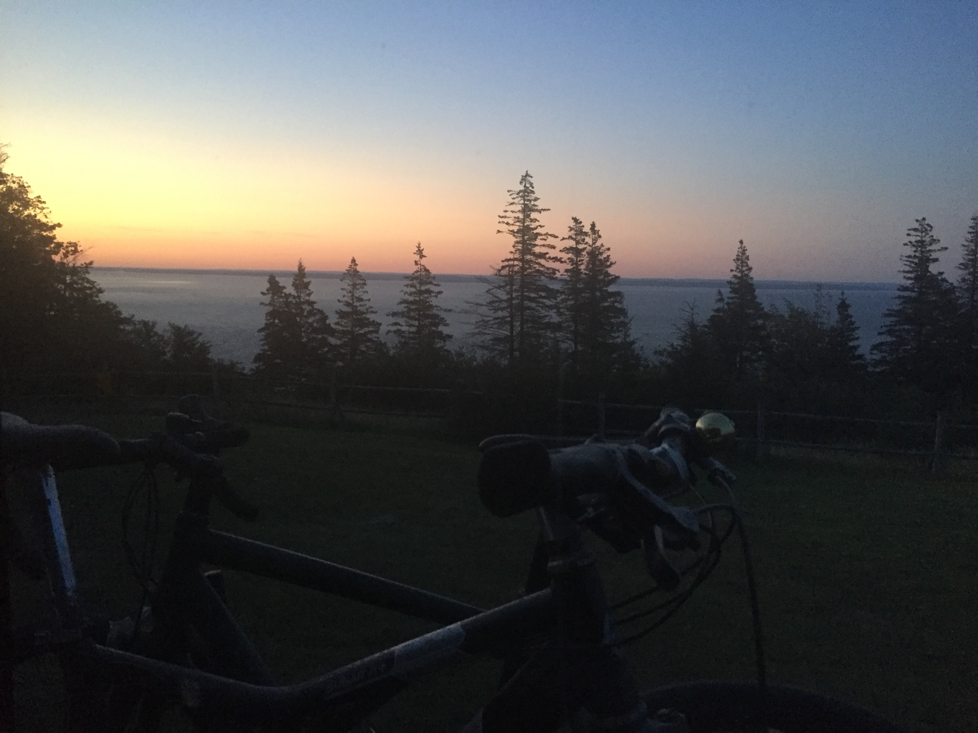
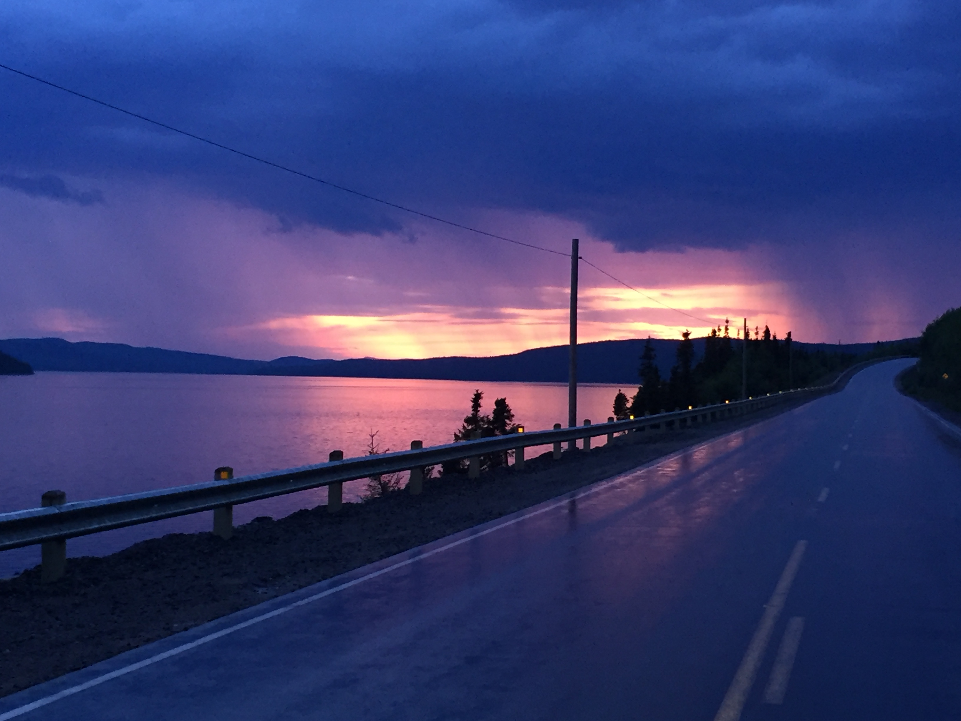
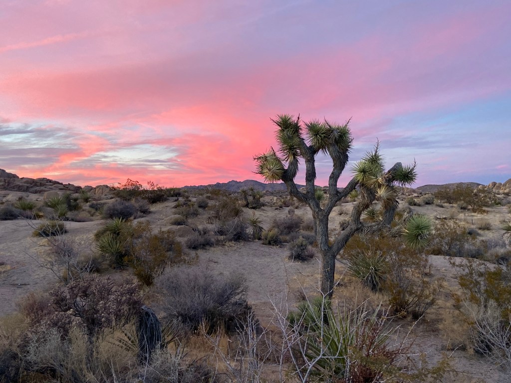
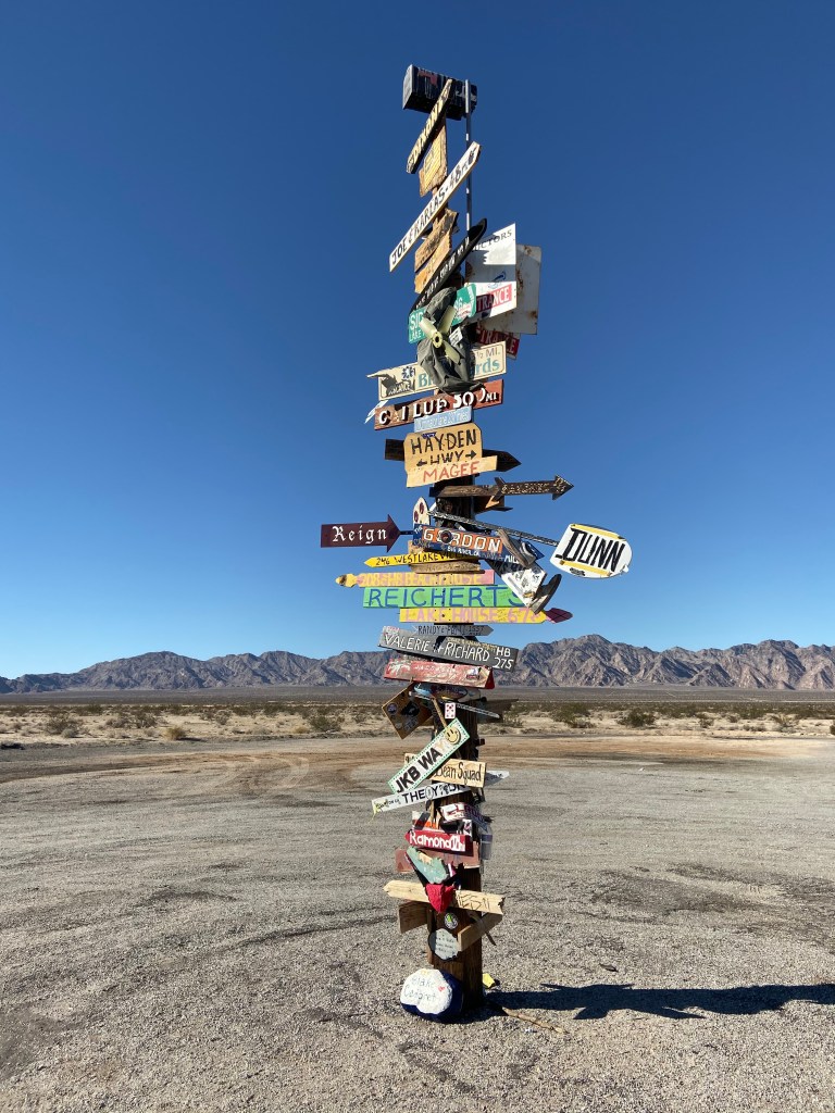
Sunset outside Port Hope Simpson, just before our pullout for the night!
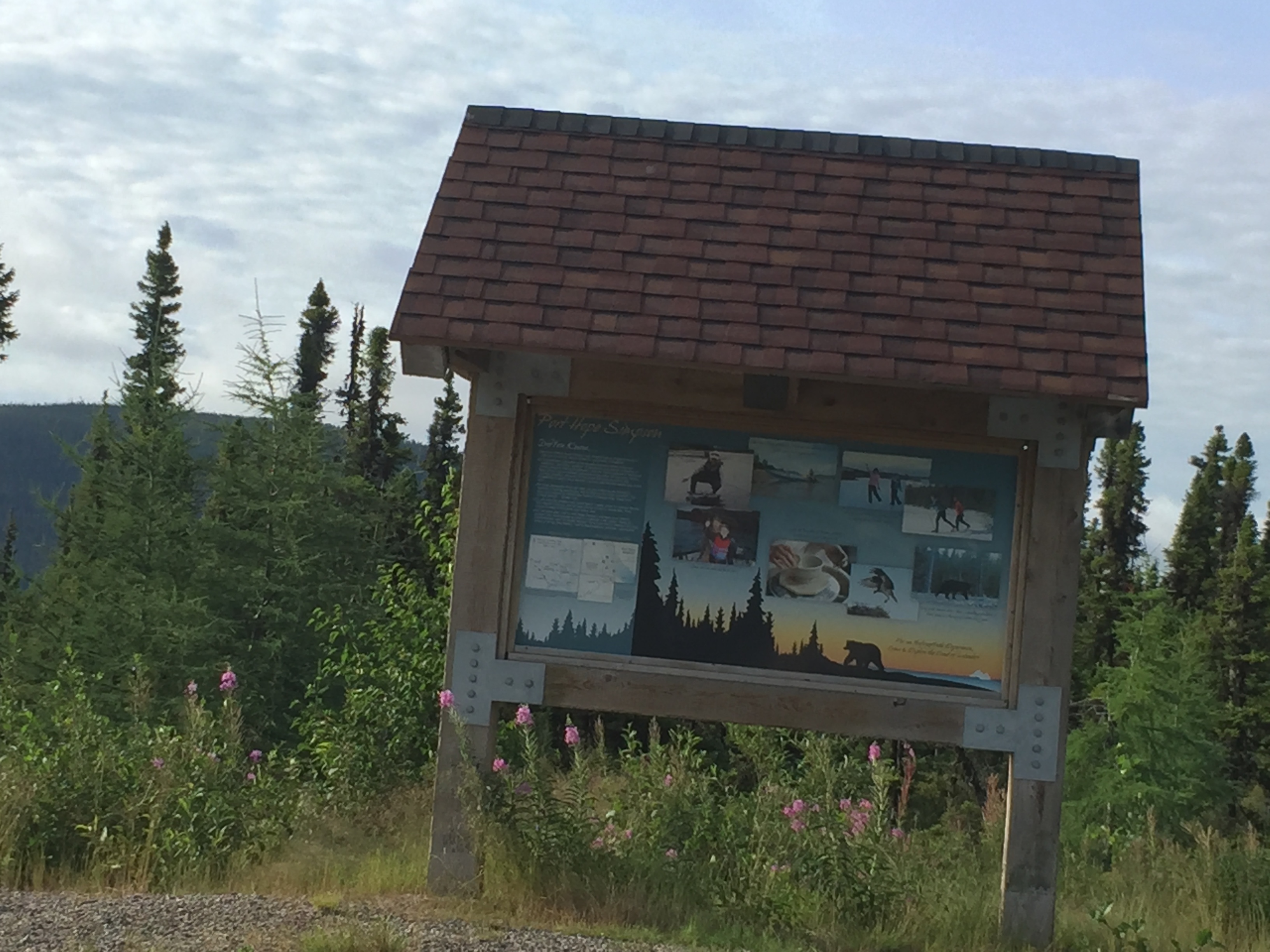
Signpost at Pullout, picture taken the next morning.
When we stopped at the pullout and shut-off the engine, we experienced our first major encounter with black flies and mosquitoes. They surrounded the van and did so for a good 10 minutes. I am not sure what drew them immediately, maybe heat from the van or movement. It was a hoard. It is one thing to read about the notorious Labrador insects but another to experience it.
Day 2 – Port Hope Simpson to Pull-Off Before Churchill Falls
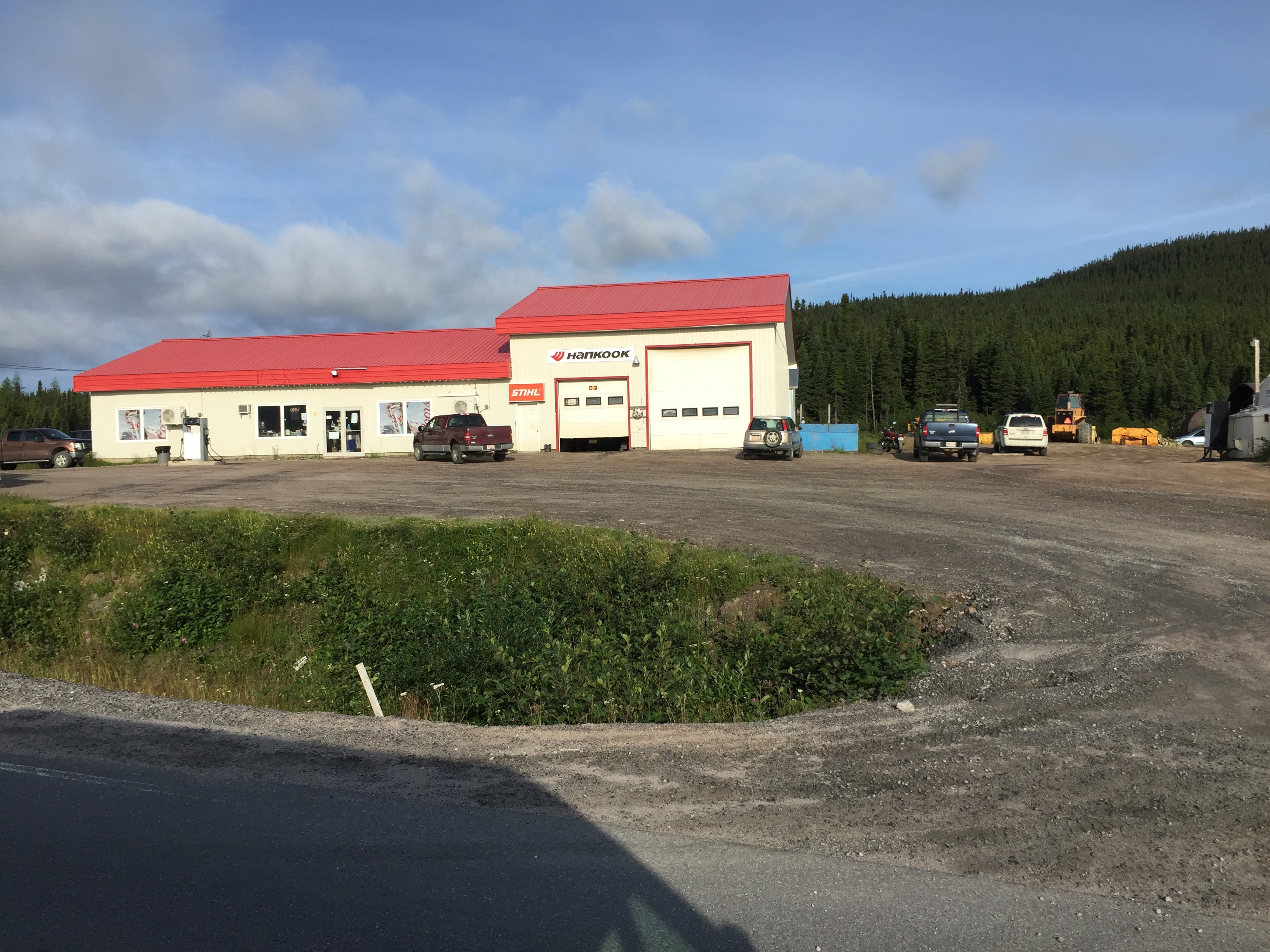
The next morning we drove back to Port Hope Simpson to fill up the tank. Pretty old school setup. You pull in, fill up the tank and then go inside and tell them the dollar amount. From Port Hope Simpson, it is 260 miles until the next sign of civilization / services. A full tank is needed!
It was a long / desolate / beautiful drive to our next stop at Happy Valley-Goose Bay. At the start of that day’s drive, my son and I made a bet as to how many vehicles we would see between the start and Happy Valley-Goose Bay. We laid out rules (e.g., construction vehicles did not count). He guessed 15 vehicles or more. The actual number that day was 8 vehicles. Yea, a free dinner.
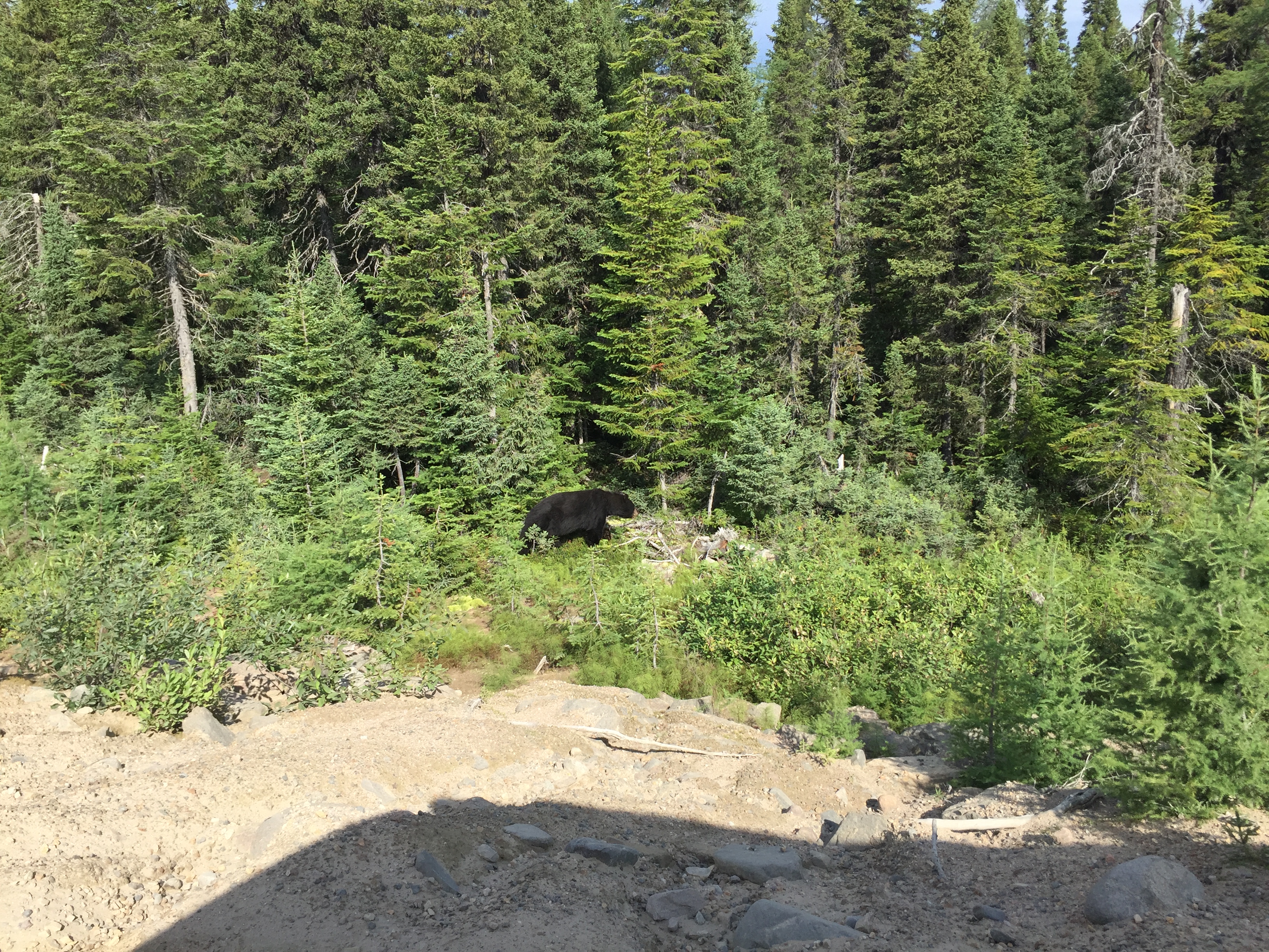
We saw a black bear on the side of the road and stopped to watch for awhile:
Paving of the road continues: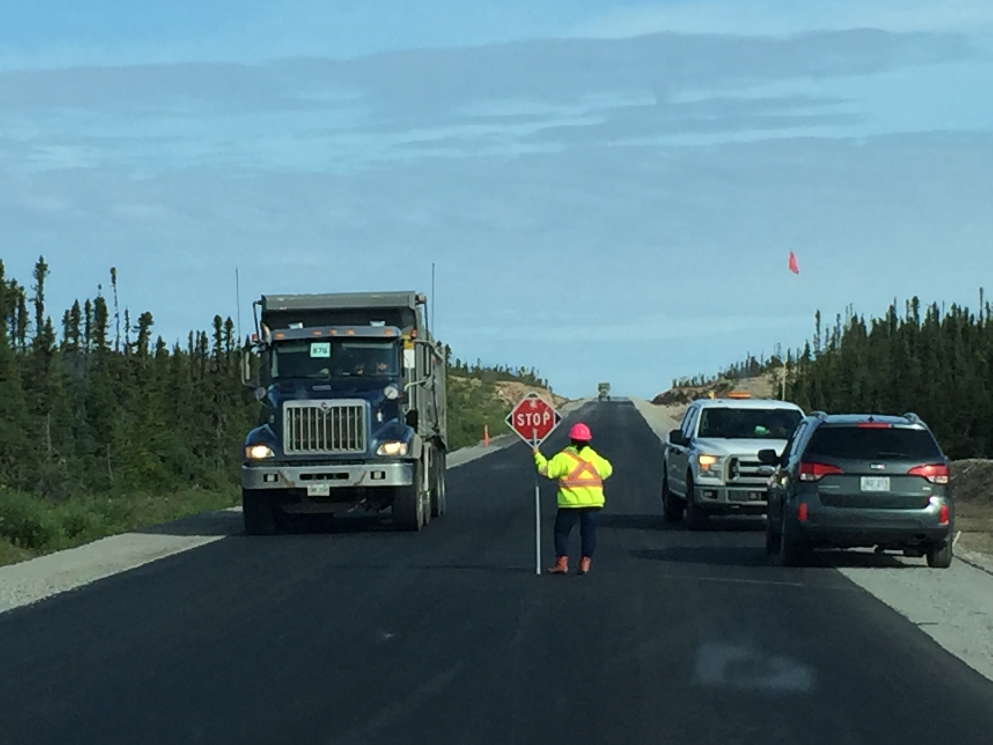
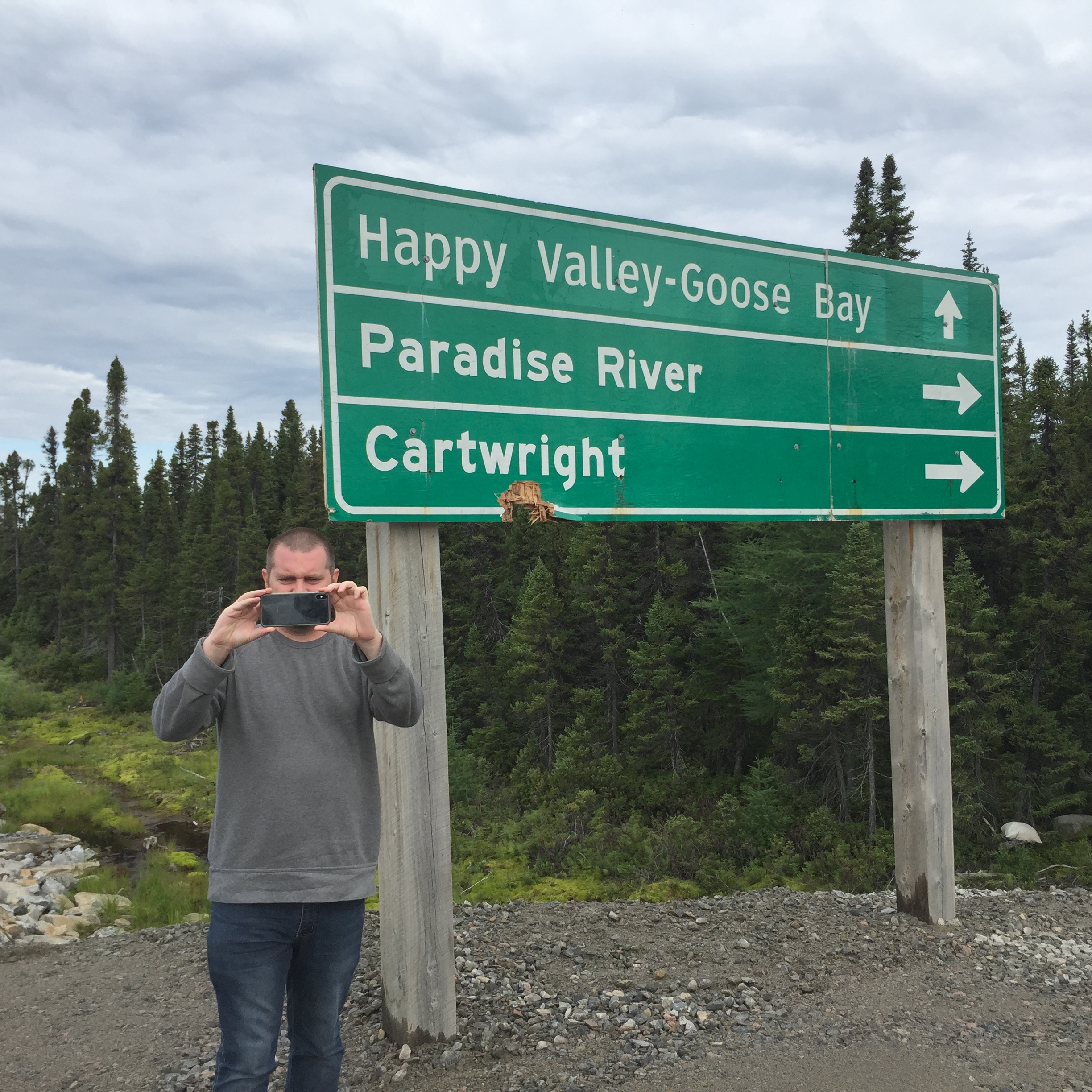
Highway 516 is a spur that takes you the coastal village of Cartwright. While many people take this spur as part of traveling the Trans-Labrador Highway. We did not have time to incorporate it into our plans
Somewhere between the Cartwright turn-off and Happy Valley-Goose Bay, my son said “what is that cloud over there”? We pulled over to watch and as it got closer we could see that it was a swarm of black flies. Yikes!
We arrived at Happy Valley – Goose Bay and our first stop was a gas station (Rule #1). The town has a a population of 7,550 people. During World War II, Canada, England and America joined together to build a massive air base here. The airbase brought jobs and an influx of people.
The air base is currently used for training by Canadian, British, Dutch, Italian, and German air forces, given the latter four countries do not have airspace suitable for low level flight training. During 9/11, the airport filled with diverted commercial flights.
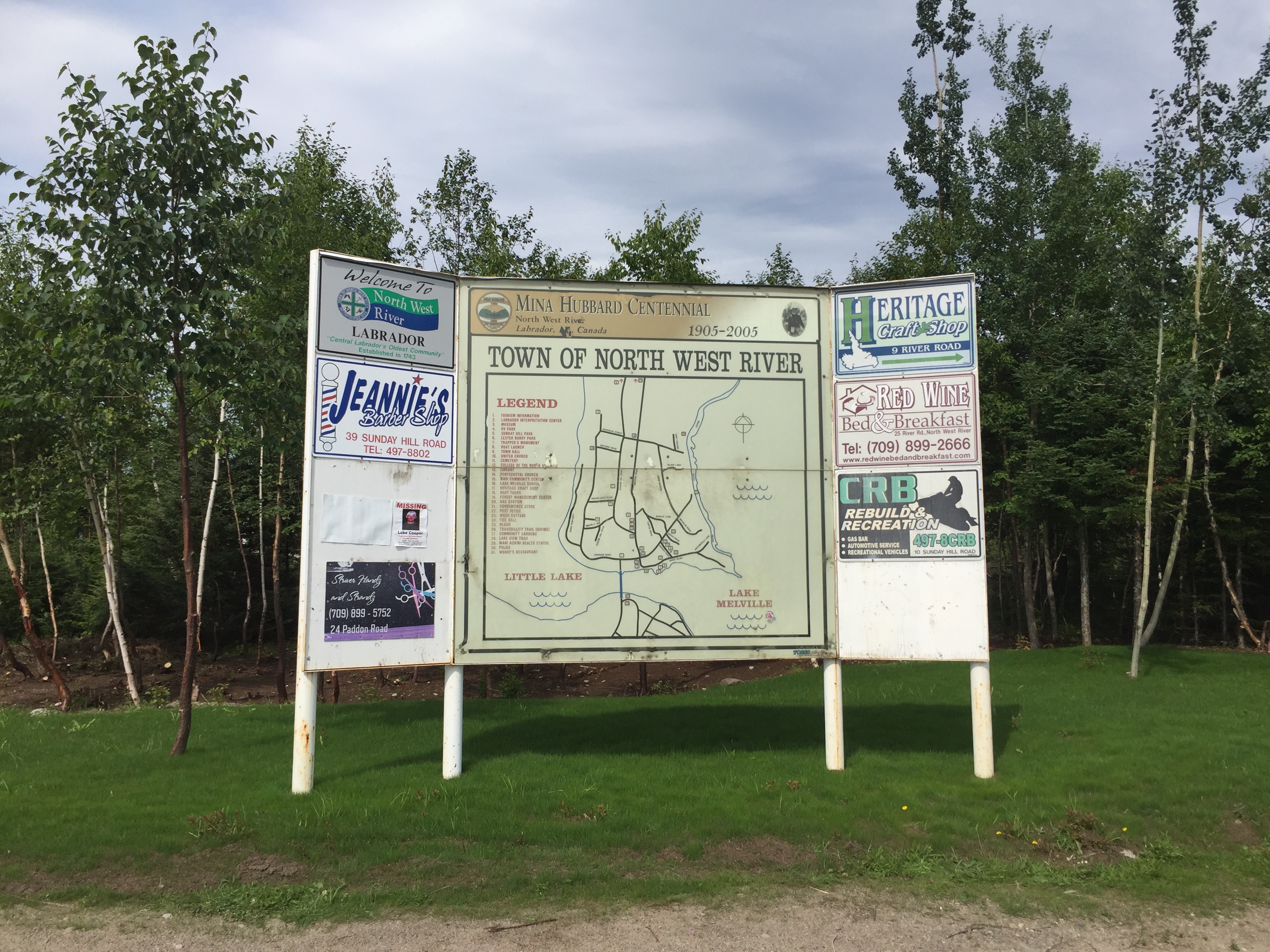
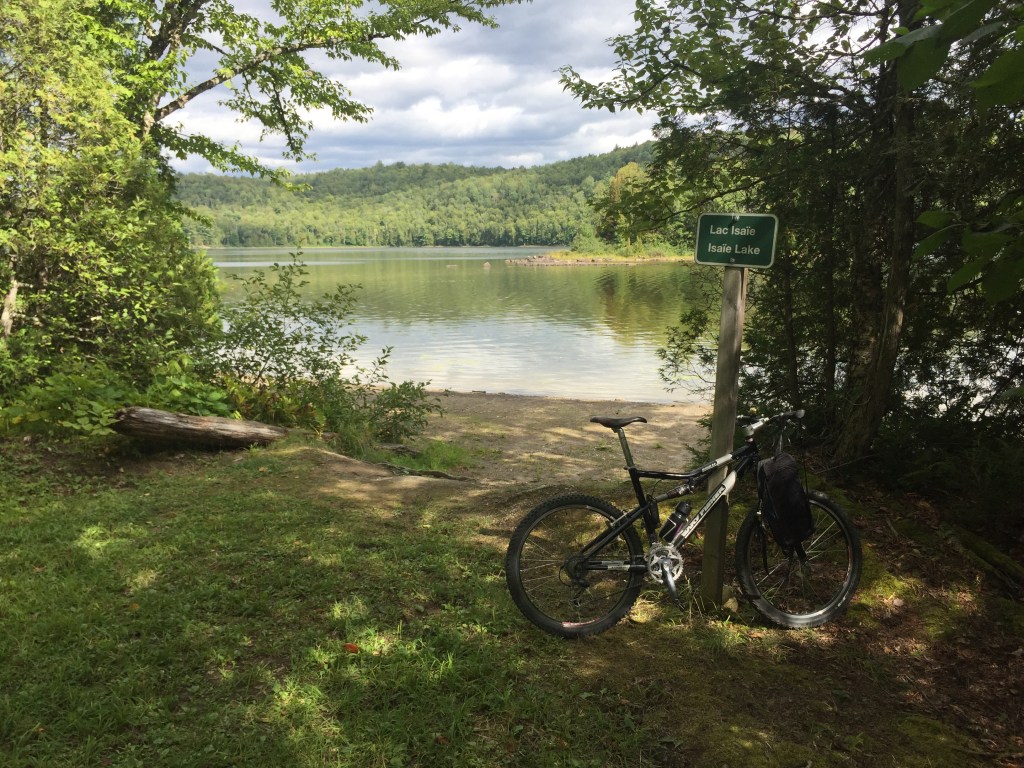
We kicked around Happy Valley – Goose Bay and then headed to Northwest River. Northwest River is a small village (500 people) nestled along the shores of Lake Melville. It is located 24 miles north of Happy Valley – Goose Bay. The village started as a fur trading post in the 1700’s.
We stopped at:
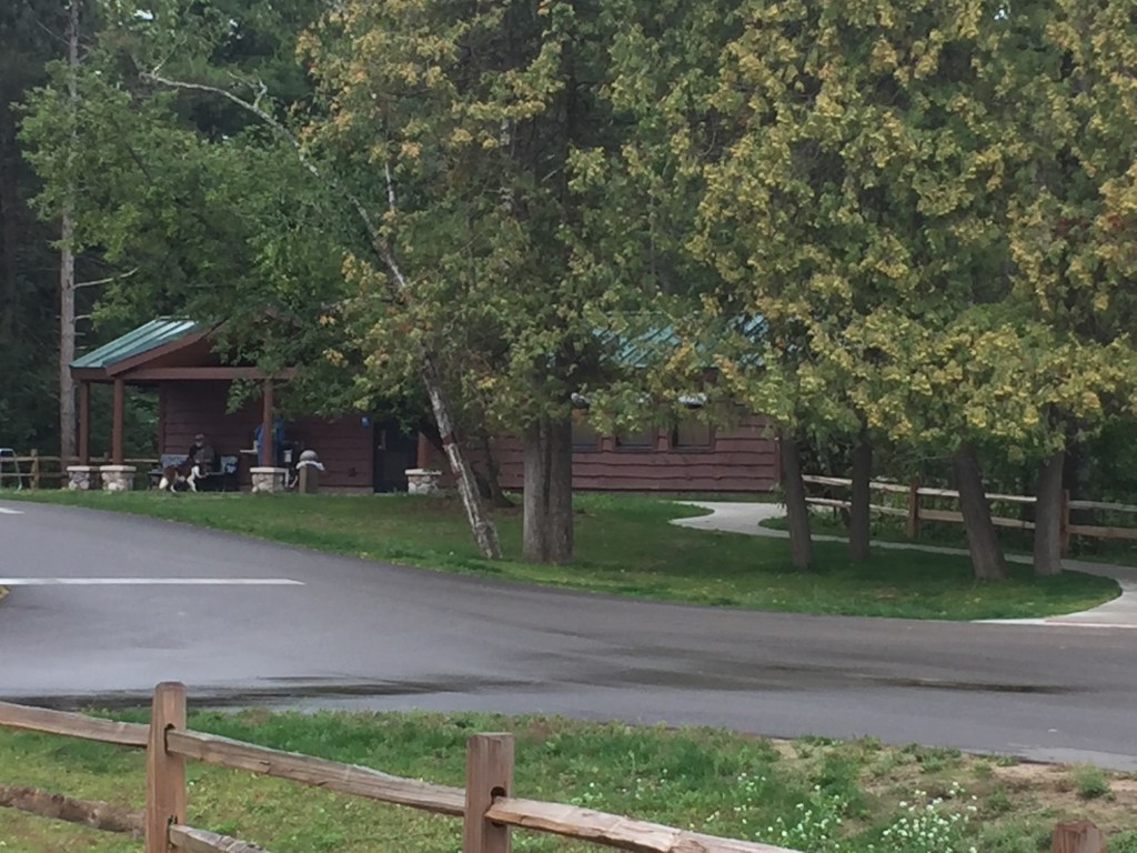
- The Labrador Interpretation Centere which provides presentations / exhibits on the natural and human history of Labrador. The personnel were very engaging and answered our questions and provided much information. I really liked some of the paintings on display.
2. The Labrador Heritage Museum which is located in an original Hudson Bay Company Building.
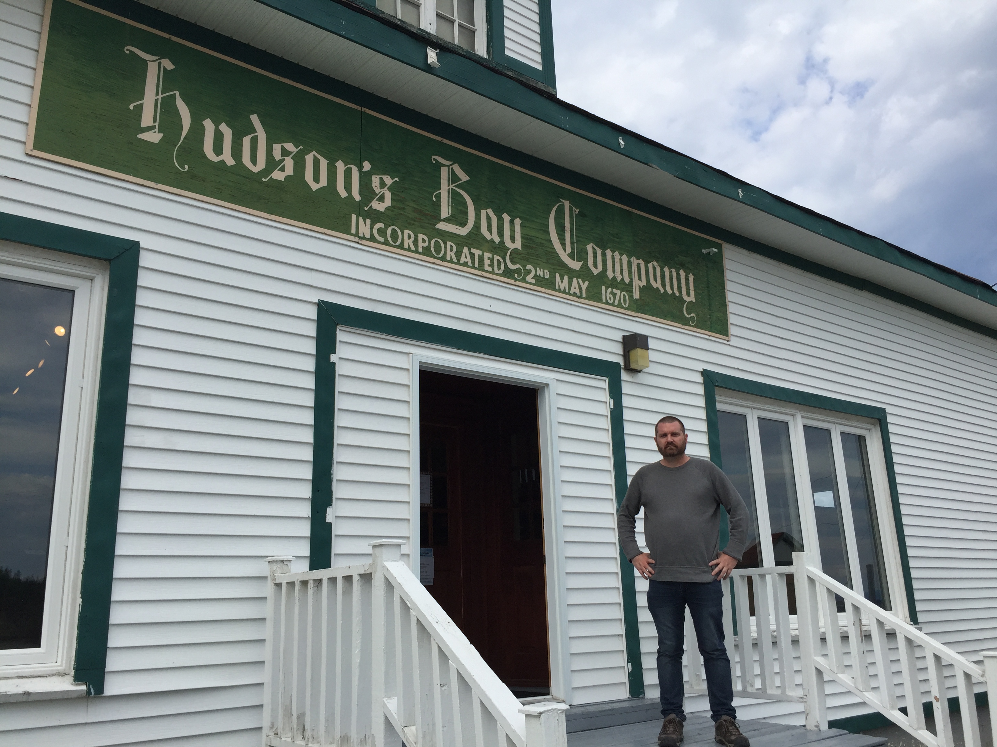
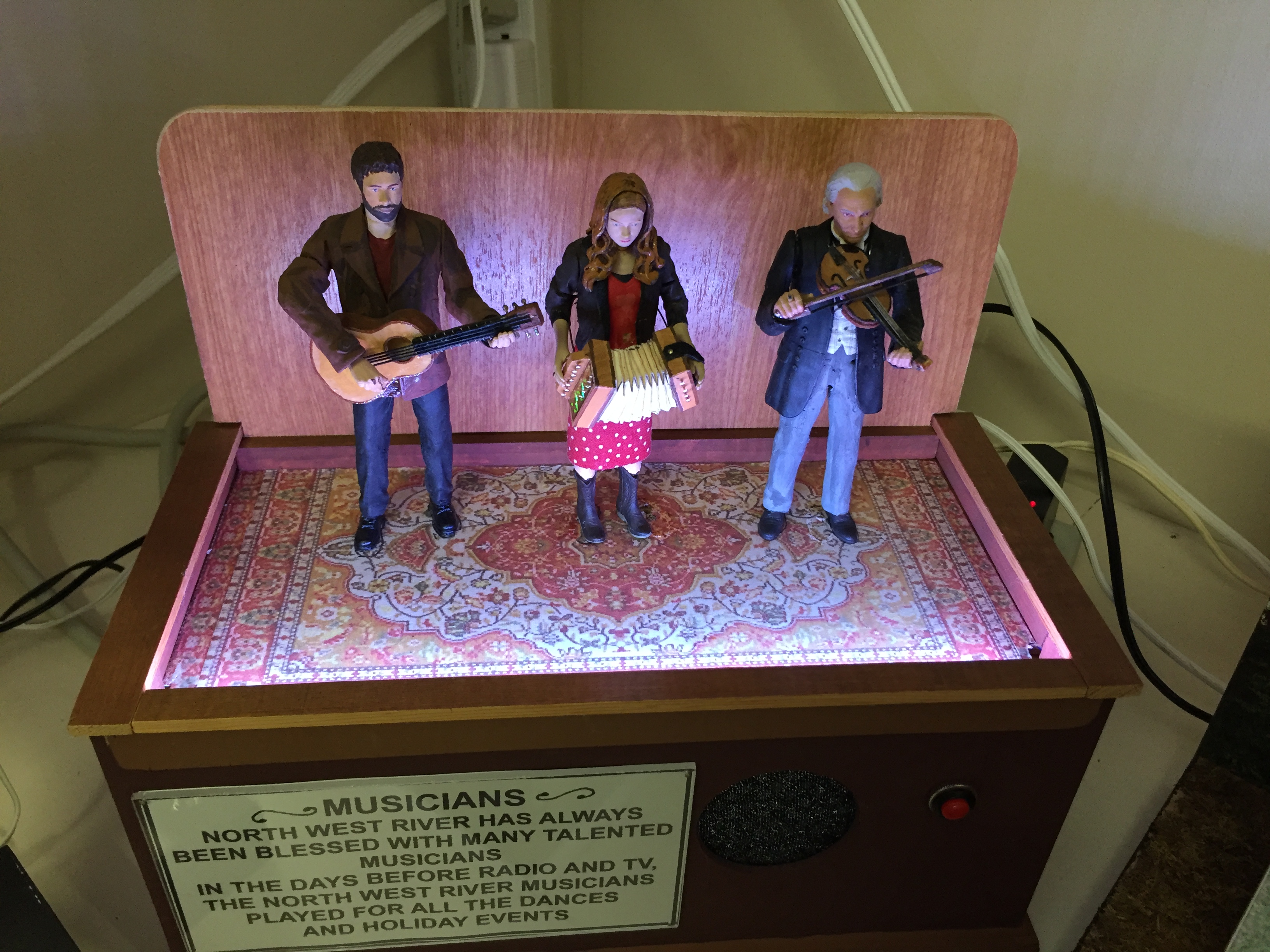
This is definitely worth a stop, providing a view of local history through photos, manuscripts, books, artifacts, etc. One room of the building is devoted to musical”toys”. The museum guide told us that the maker originally lived in the area and donated the “toys” over time. He now lives in New York and continues to bring one back each year. The current collection is over 30.
I call them toys for a better lack of words. Each plays music and has moving figures. My son and I had fun trying these out. We had a number of the toys playing at one time and the attendant came to make sure things were “OK”.
North West River has an artist co-op which was closed the day we visited. I wish we could have checked this out, as I like to purchase local art on my travels.
After my free dinner (remember the bet described above) in Happy Valley – Goose Bay, we headed toward Churchill Falls. We both wished that we had another day to explore this area.
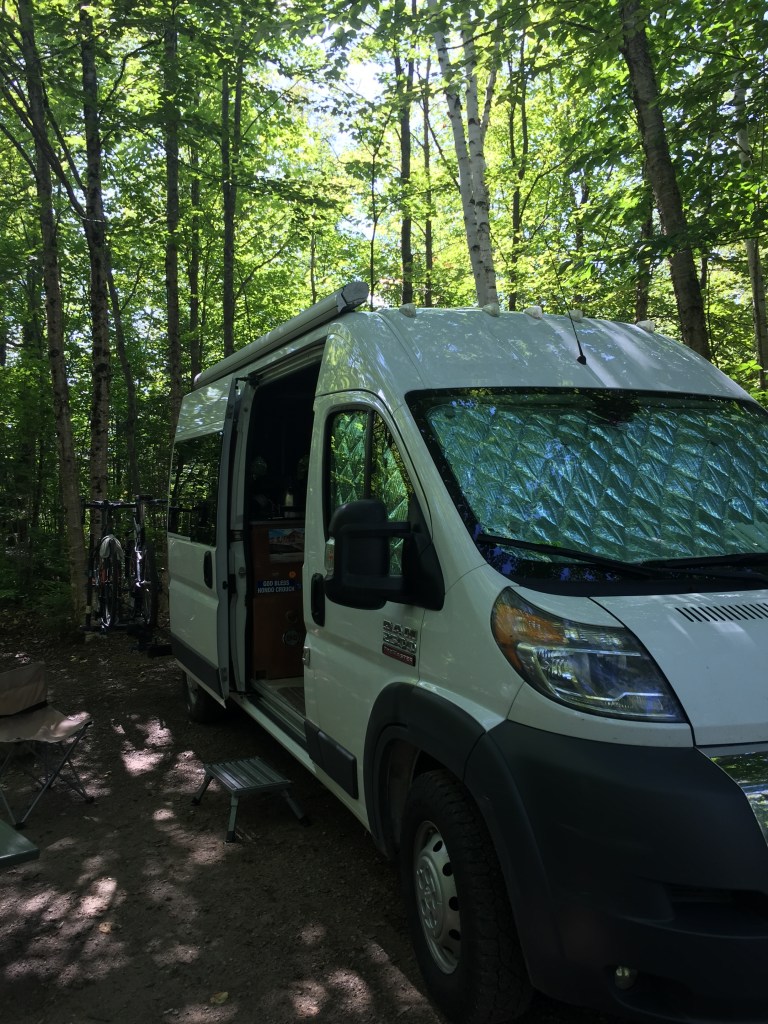
Our stop for the night was another pull-off. The Trans Labrador Highway has a number of pull-offs (strategically dispersed) which allow travelers to safely spend the night away from the main traffic flow. You will find a pullout about every 15 to 20 miles.
Day 3 – Pull-Off to Baie-Comeau
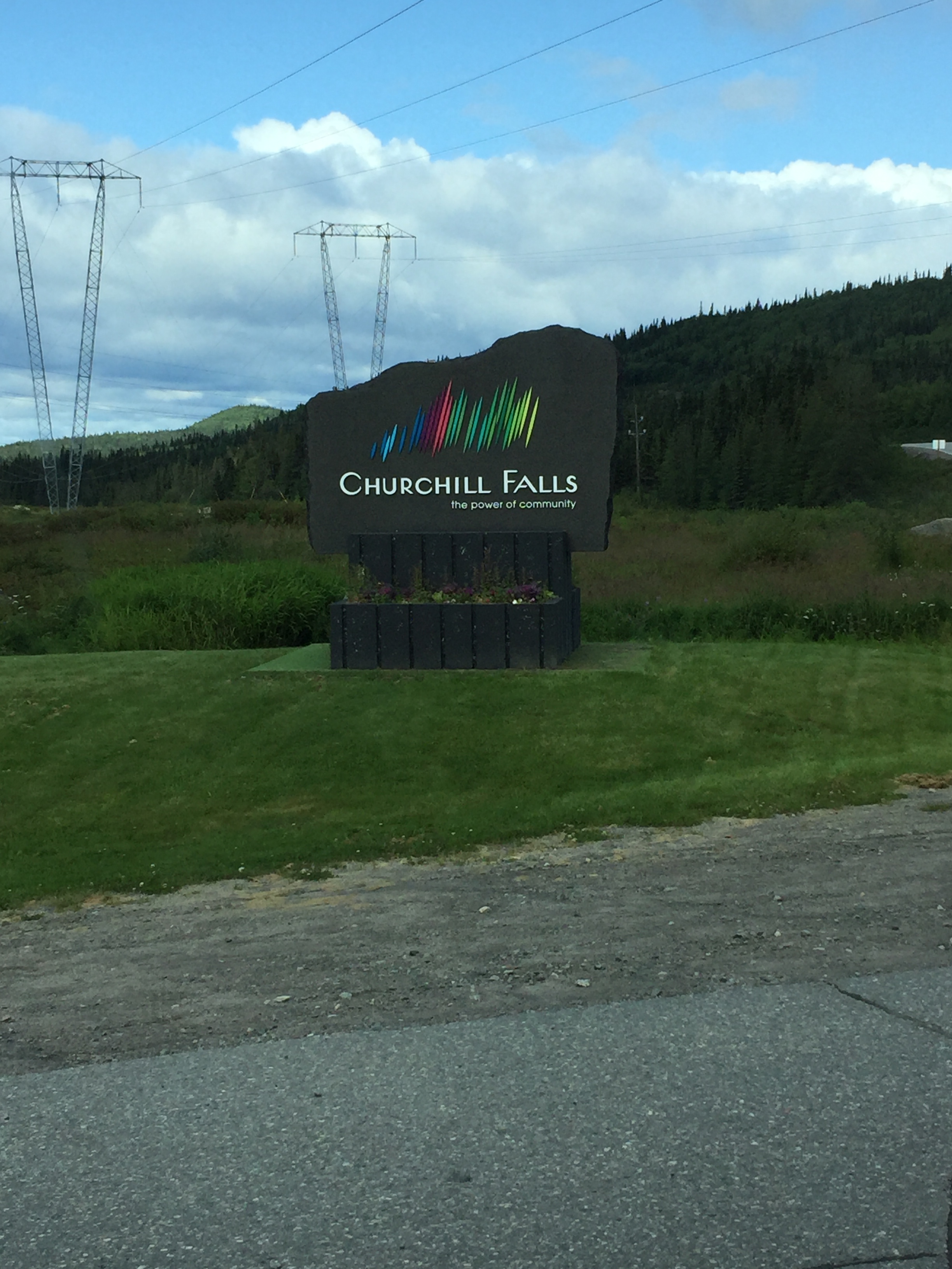
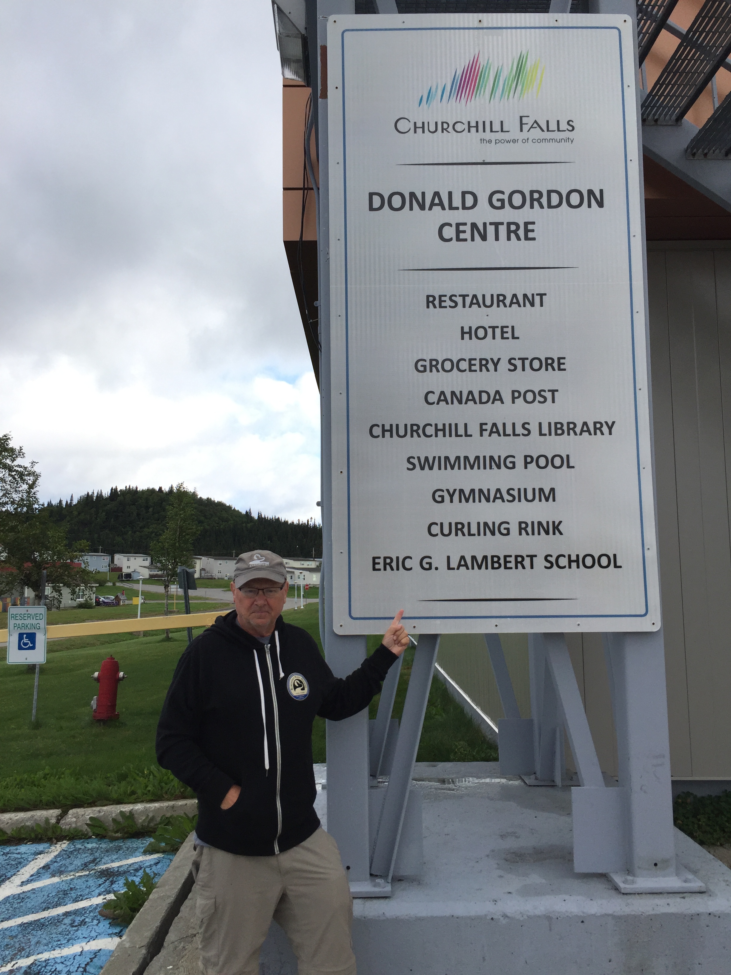
The next morning, we headed into Churchill Falls for gas and breakfast. The village has a population of 650 and was constructed to meet the needs of workers at the world’s second largest underground hydroelectric power station. It has the look and feel of a company town. If you plan ahead, you can arrange a tour of the power station.
The clerk at the gas station was a young lady in her 20’s. She saw the van and had questions about our travel, so we talked for a little while. She had the look of someone who would rather be elsewhere. For breakfast, she recommended the only restaurant in town and and said we could not miss it.
What we found is that the town has one building that includes everything the town needs except for gas and private housing. Here is a picture of the sign outside the Donald Gordon Centre:
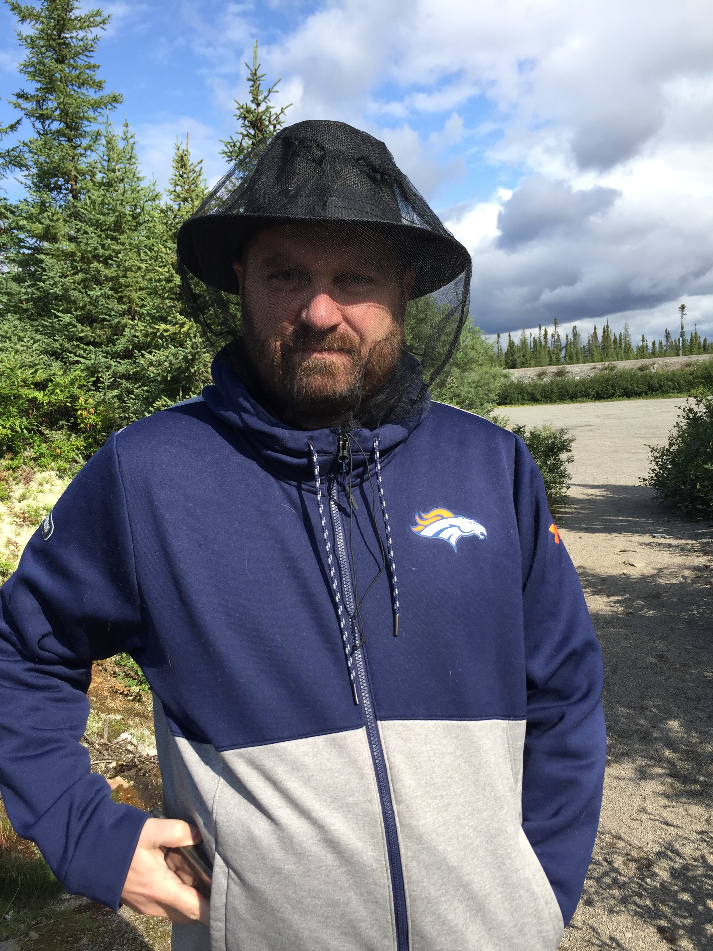
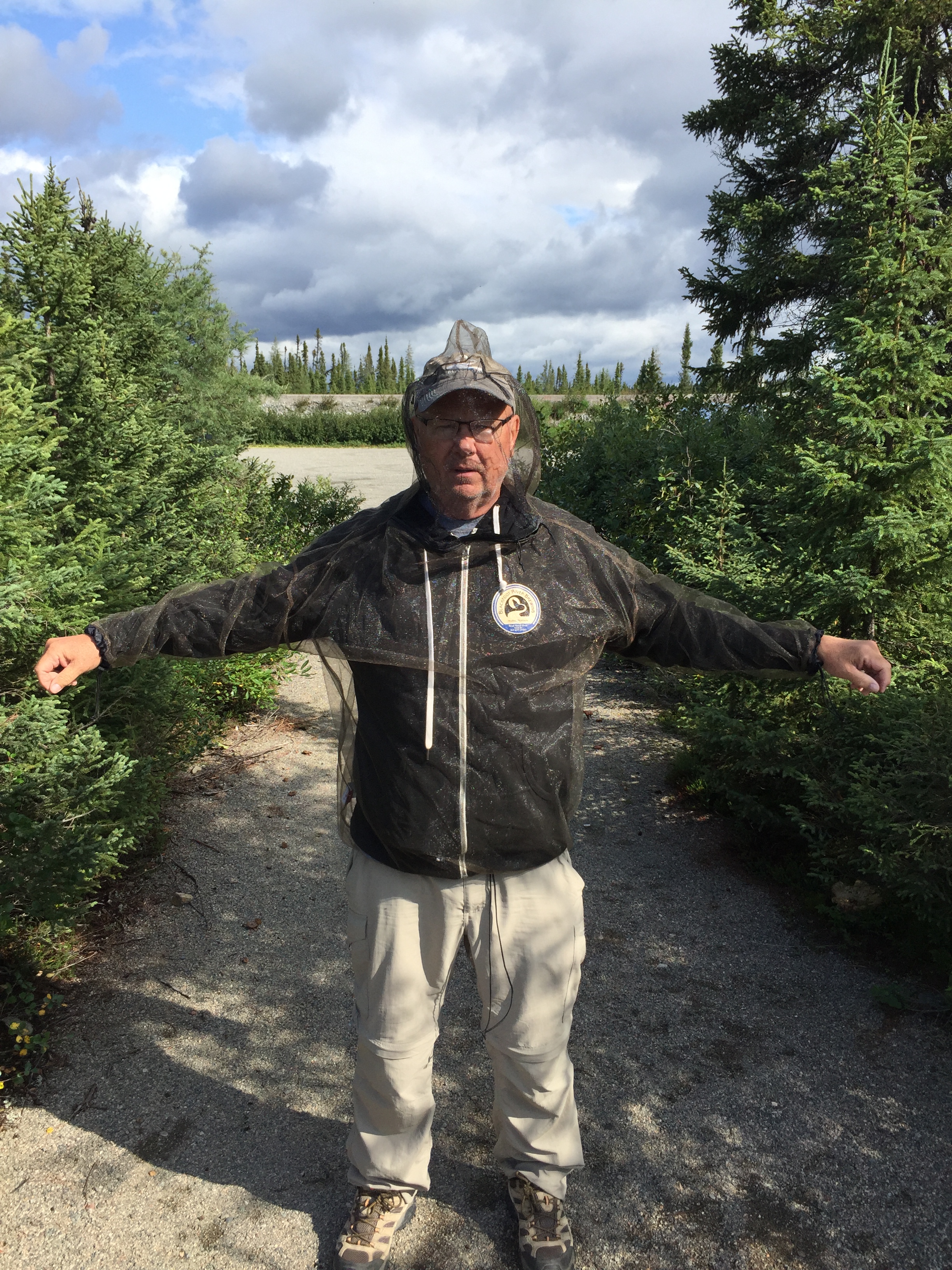
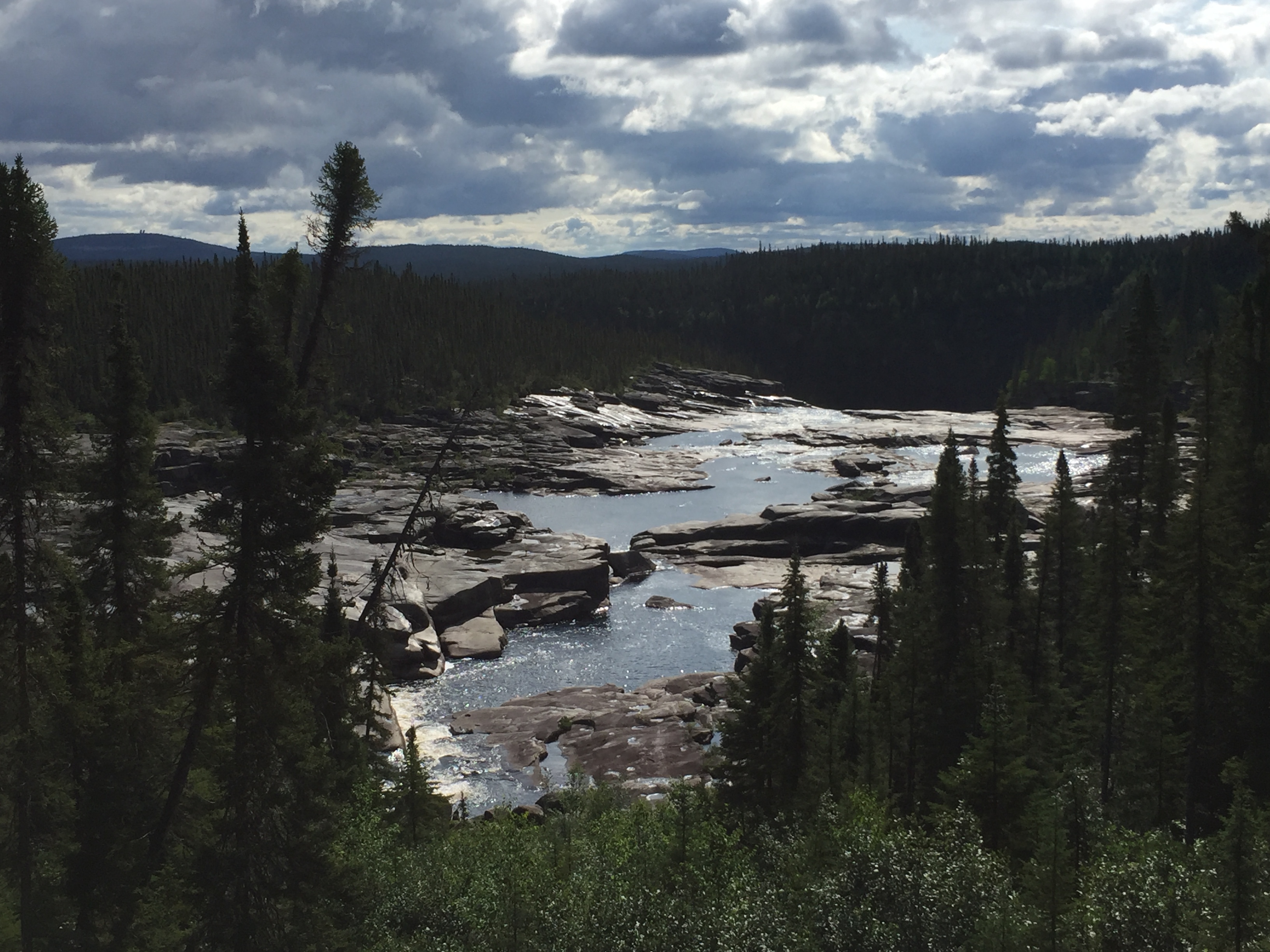
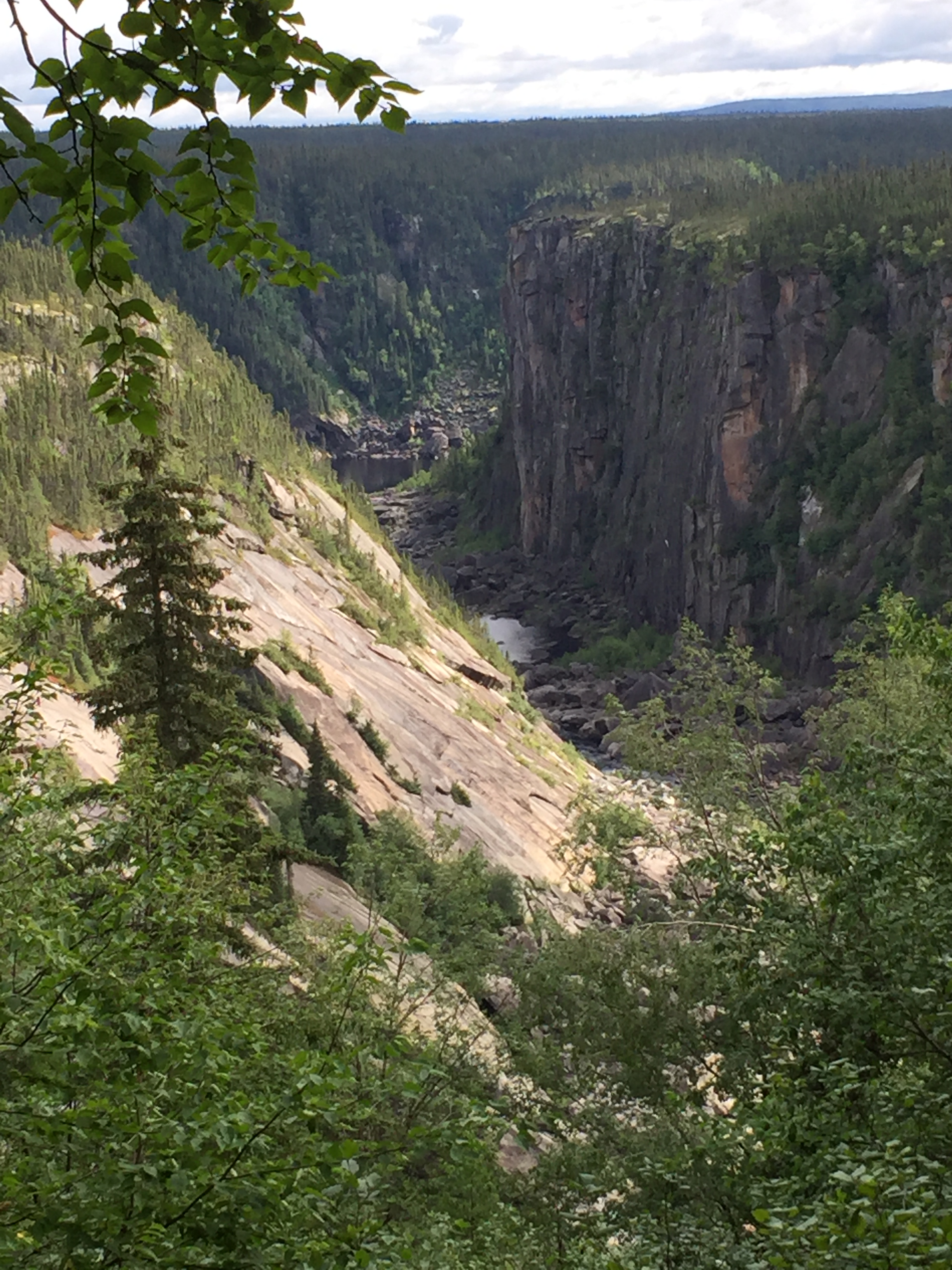
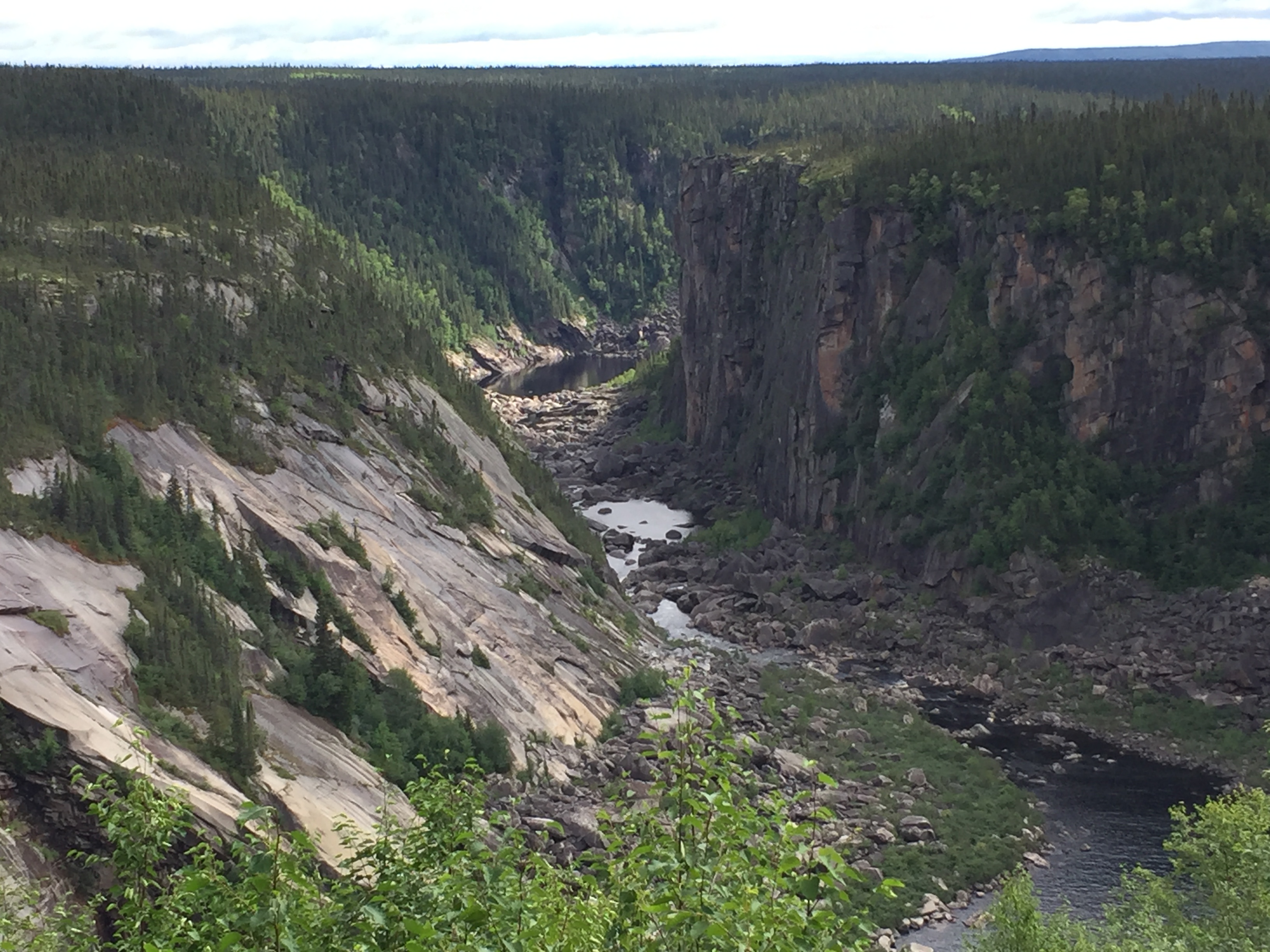
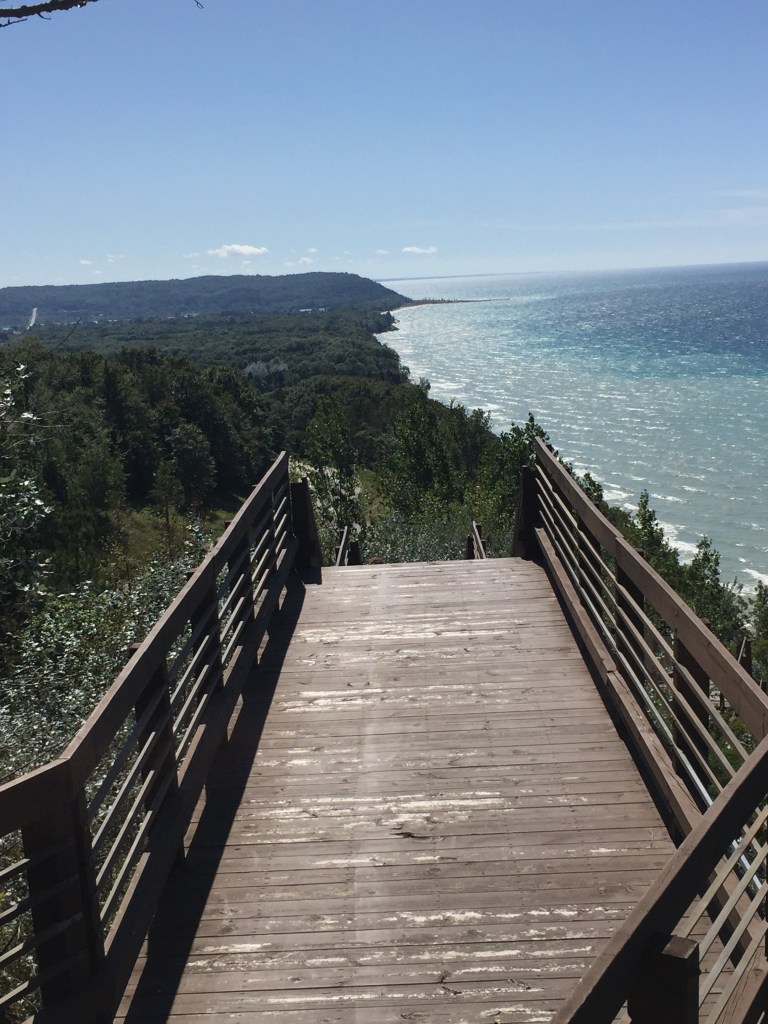
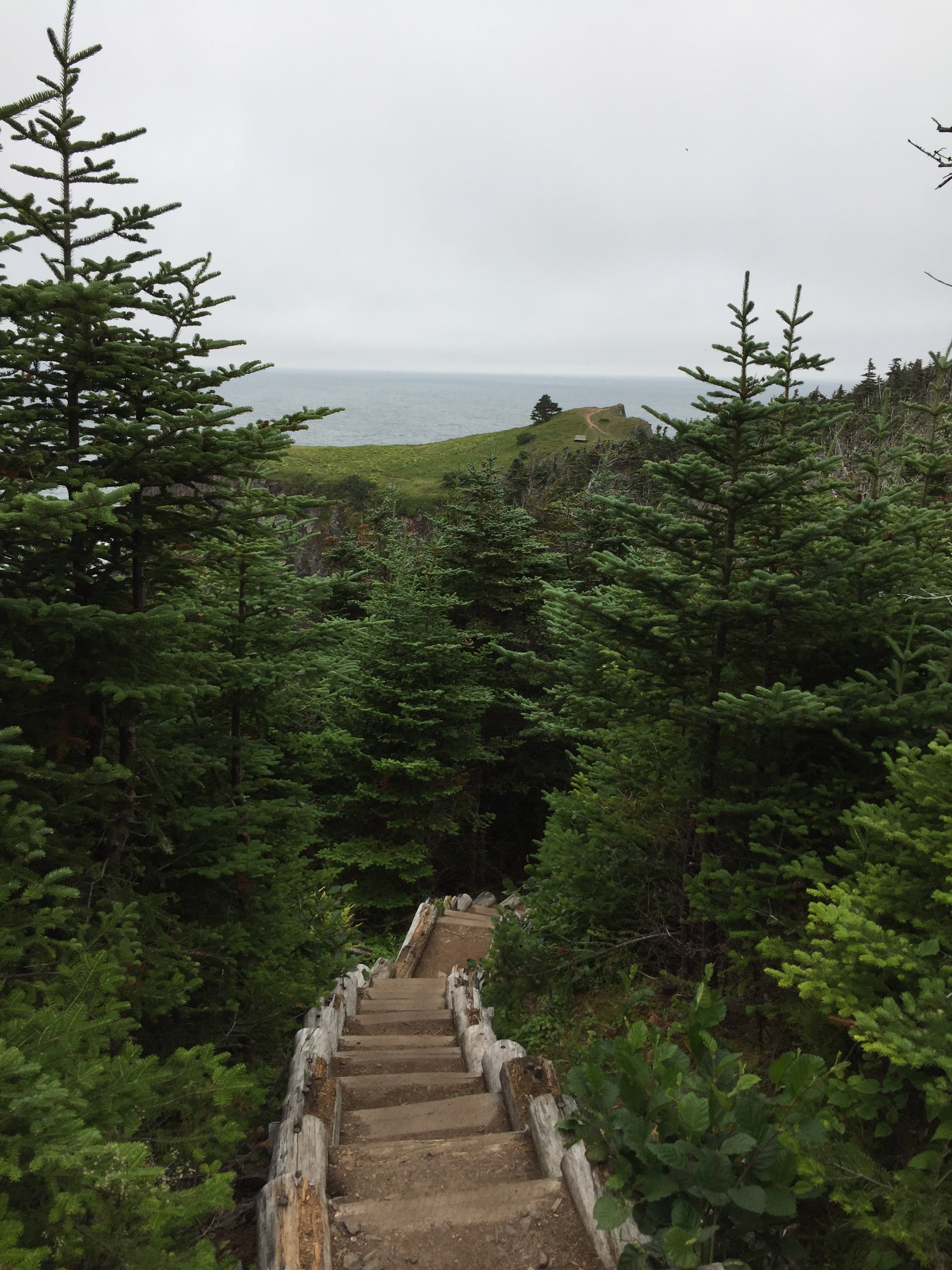
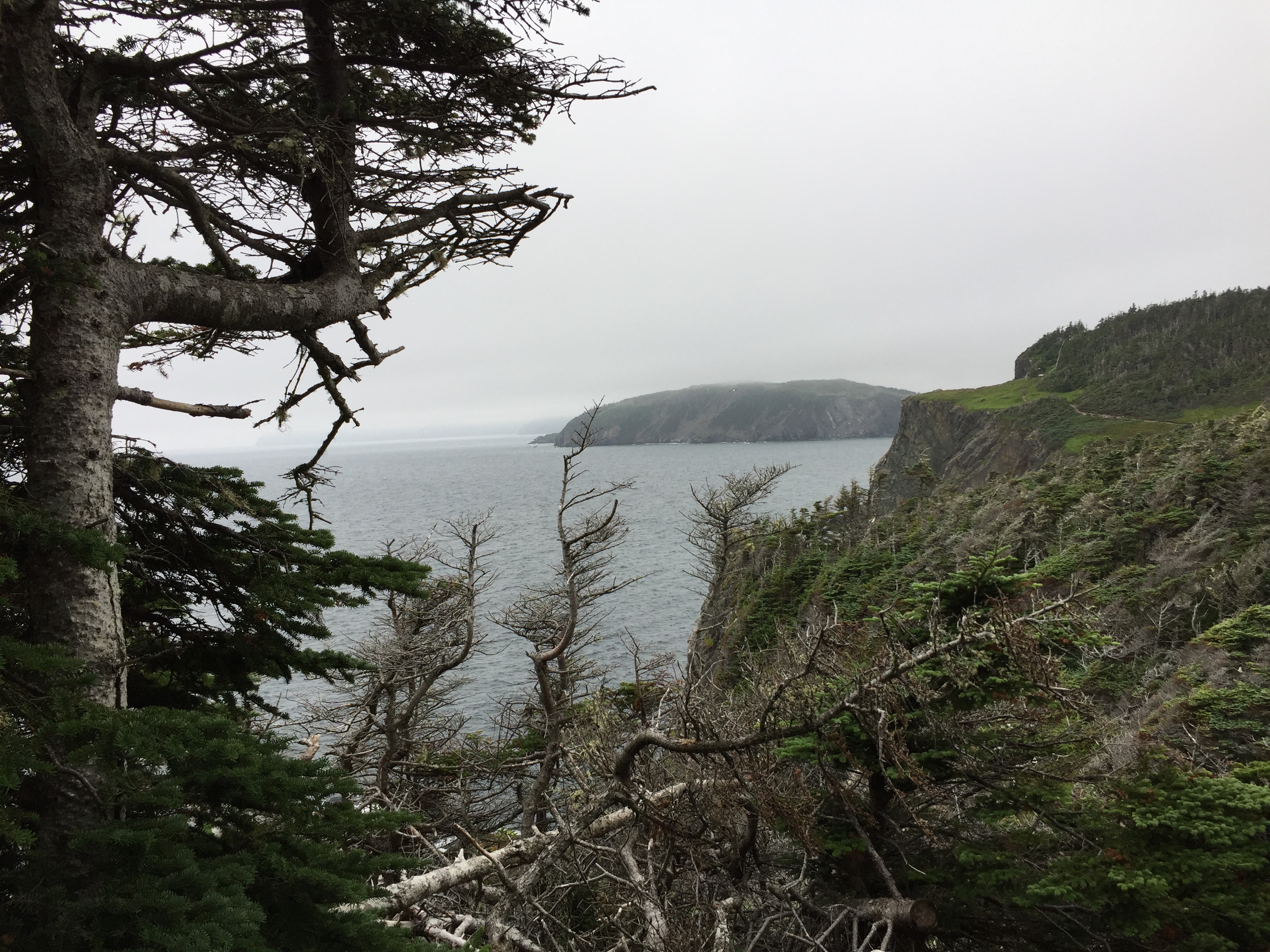
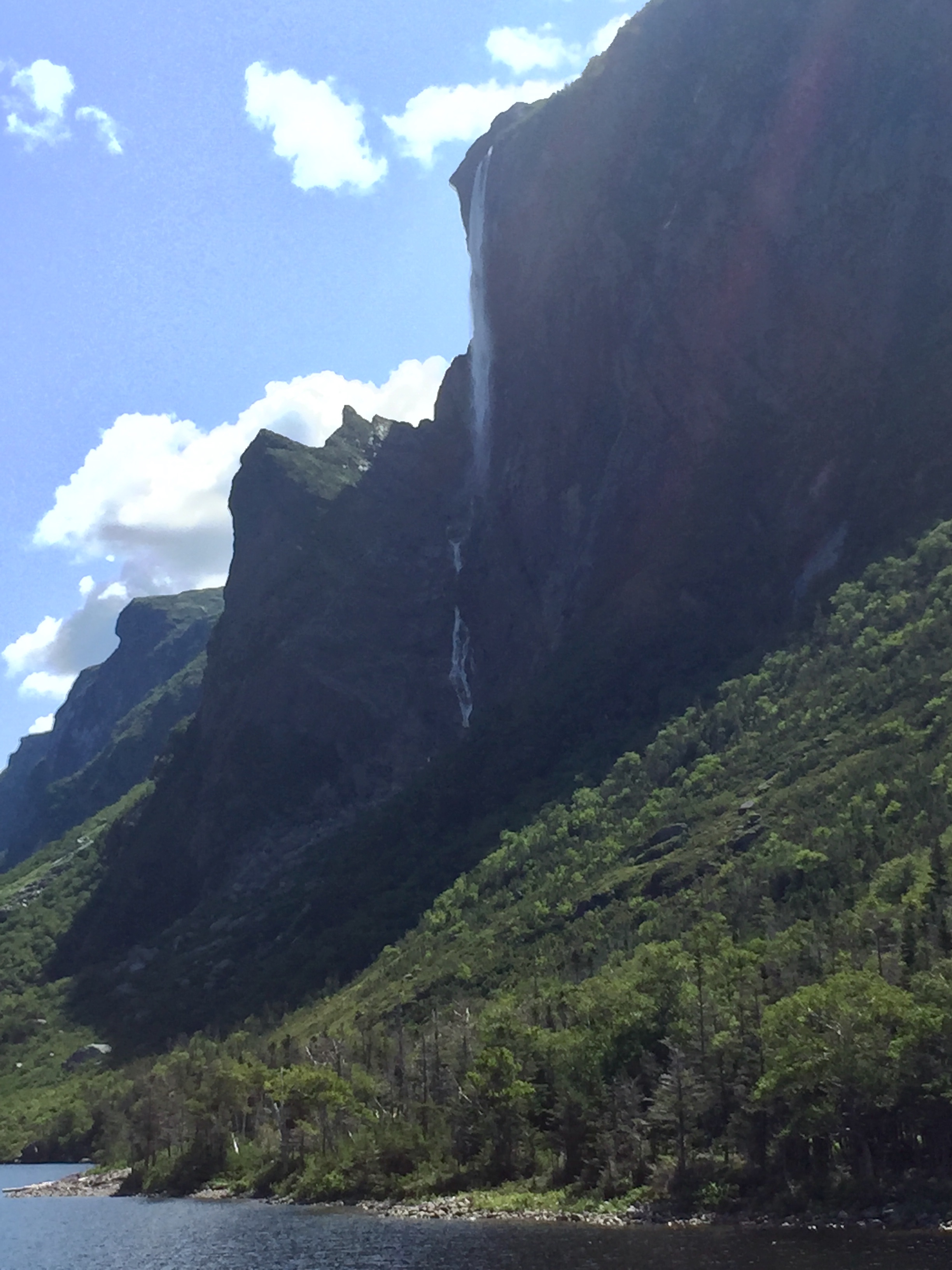
We stretched our legs with a hike to the Churchill Falls lookout. These waterfalls gave name to the town and power station. Most of the water before the falls is now diverted for the power station but the view is still beautiful. One can only wonder what the falls looked like in full glory.
The trail starts at a pullout about 12 miles west of the town of Churchill Falls. The trail follows above Bowdoin Canyon to the lookout. We suited / sprayed up for the hike. Take that bugs! We added gloves to complete the armor.
Some pics from the hike:
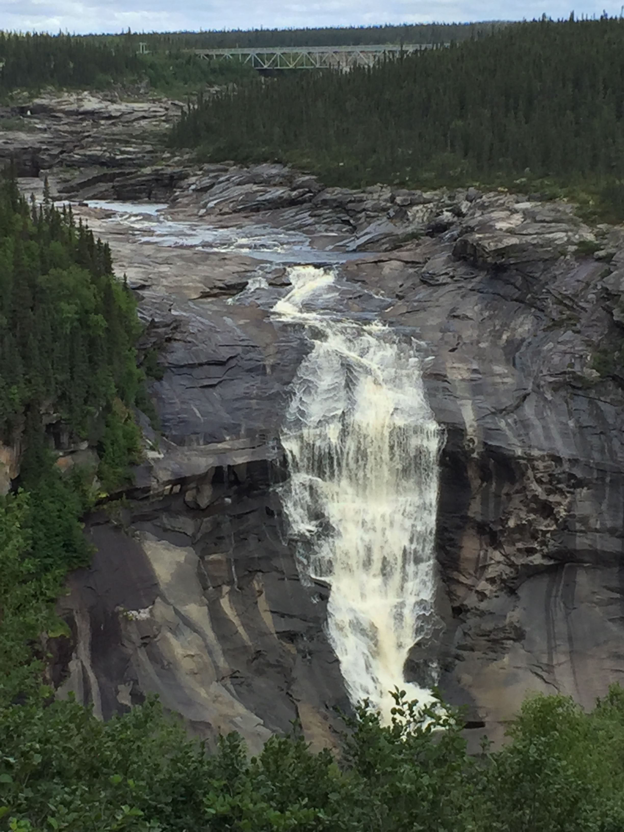
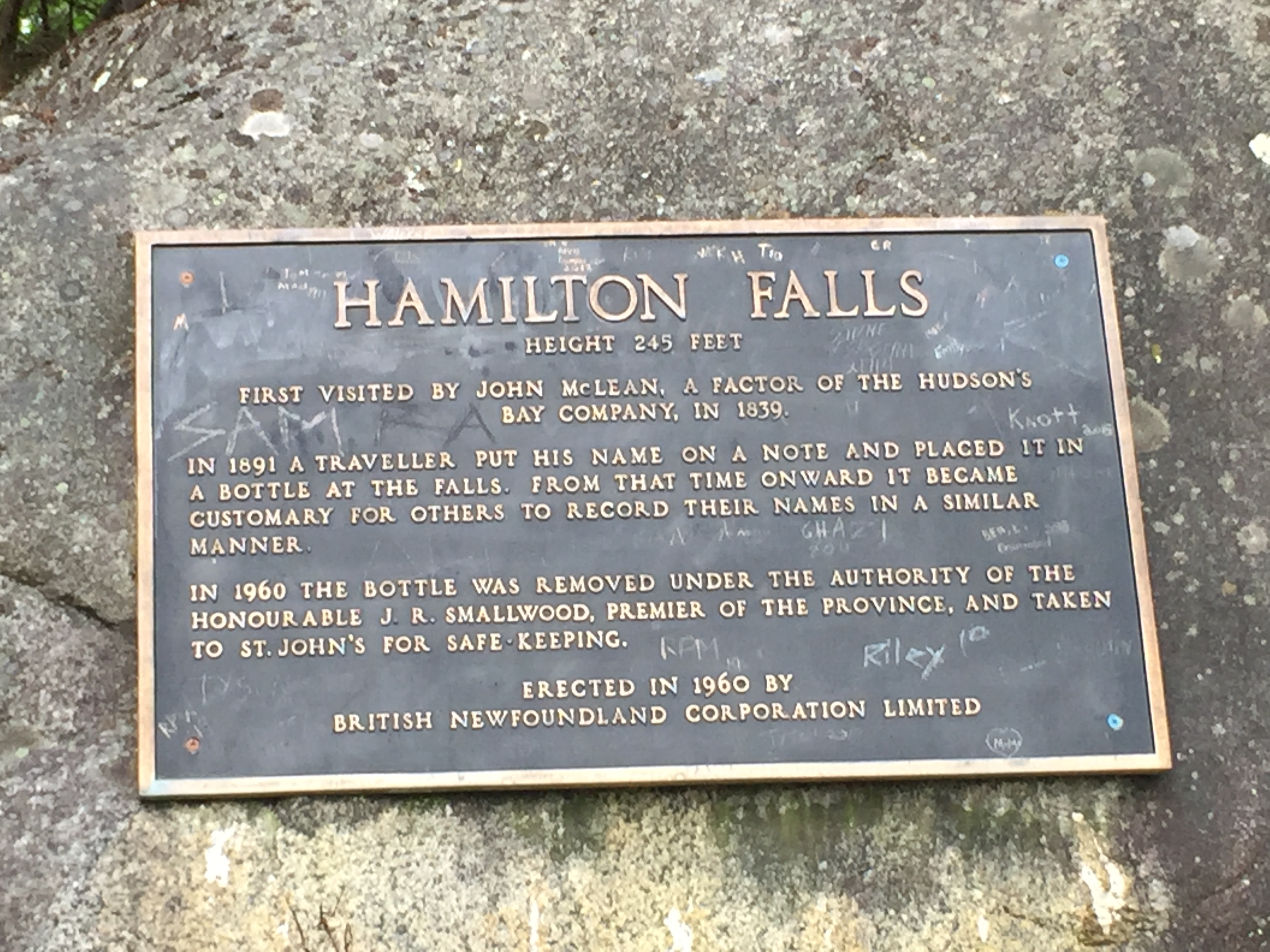
The falls have had a number of different names over time. In 1965, the falls were named after Winston Churchill. Prior to that renaming, it was Hamilton Falls.
The next stop was Labrador City. Huge ore deposits were discovered in the area of Labrador City in the late 1950’s. The region is the largest ore supplier for the Canadian steel industry. We stopped for gas (Rule #1) and then moved on. Definitely had the look and feel of a rough and tumble mining town.
The most notable memory from Labrador City was a huge rock (not a stone) kicked up by a mining truck near the main stop light in town. The rock hit the top of the windshield and scared us both. When it happened, we just looked at each other and both had the expression of holy crap! I can only say, thank you car industry for the safety glass!!!!!!!!!! The glass cracked at point of impact and spider-ed out a couple inches in diameter. Luckily, the spider lines held until I was back in the US and then replaced the windshield.
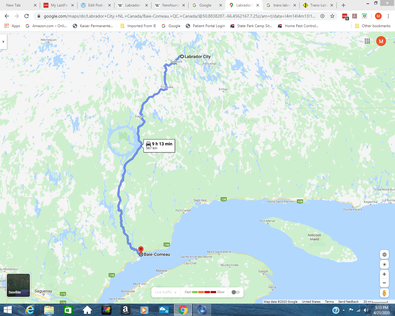
The Manicouagan Crater sits about half way between Labrador City and Baie-Comeau. On the following map view, you can see a ring of water left of the 9h 13 min marker. This is the location of the Crater.
As described on the NASA website, “Scientists believe the crater was caused by the impact of a 5 kilometer (3 mile) diameter asteroid about 215.5 million years ago (Triassic Period). The crater is a multiple-ring structure about 100 kilometers (60 miles) across, with its 70 kilometer (40 mile) diameter inner ring as its most prominent feature; it contains a 70 kilometer (40 mile) diameter annular lake, the Manicouagan Reservoir, surrounding an inner island plateau, René-Levasseur Island. Because it is so unique and easily recognizable from the sky and space, the crater has been the subject of hundreds of images from astronauts for 45-plus years.”
“One of the Expedition 38 crew members aboard the Earth-orbiting International Space Station recorded this image which features the Manicouagan Crater and reservoir located primarily in Manicouagan Regional County Municipality in the Côte-Nord region of Québec, Canada.”
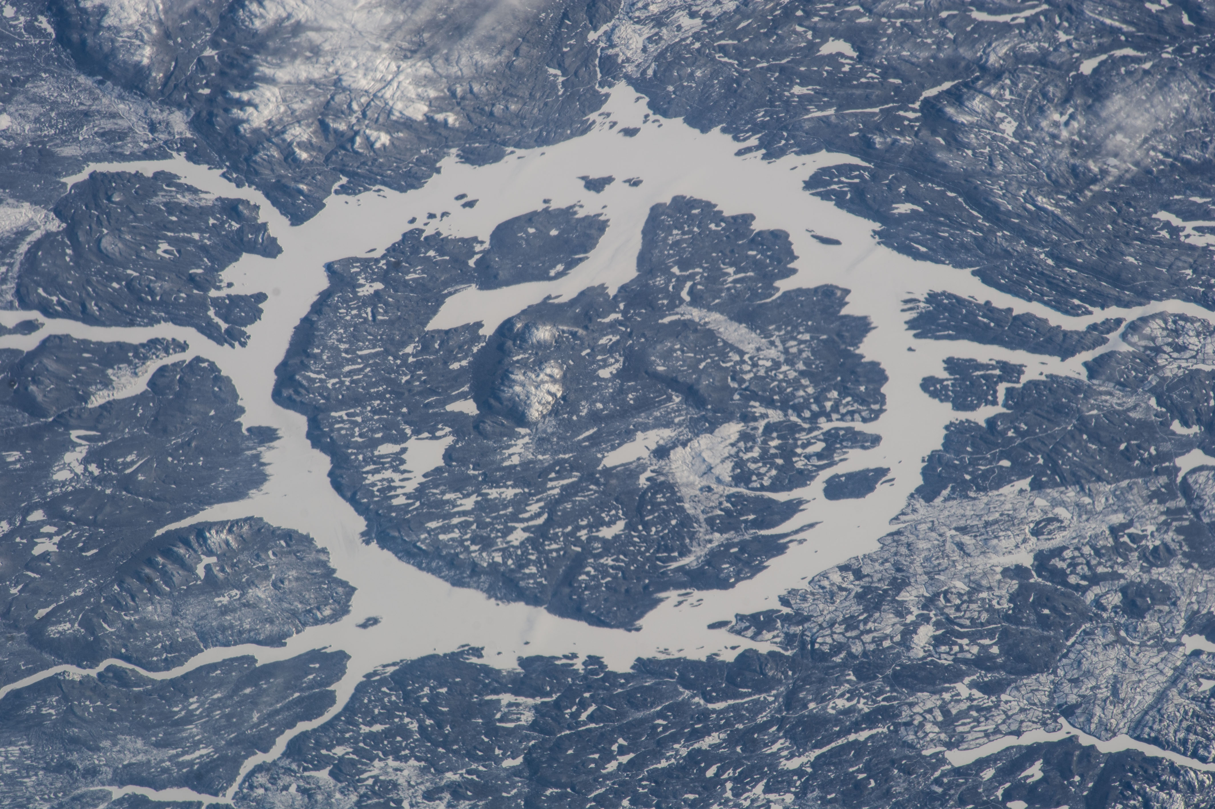
The area is protected as a Biosphere Reserve and is Canada’s 2nd largest UNESCO World Heritage Site. The lake is the 5th largest in world by volume and the impact crater is the sixth largest on earth.
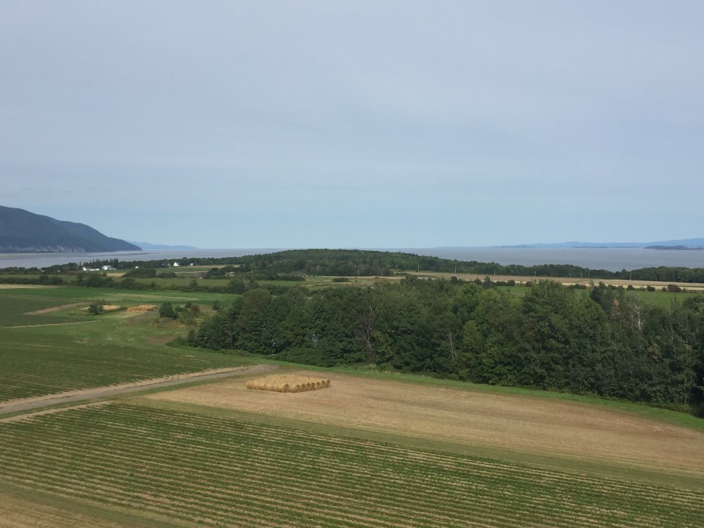
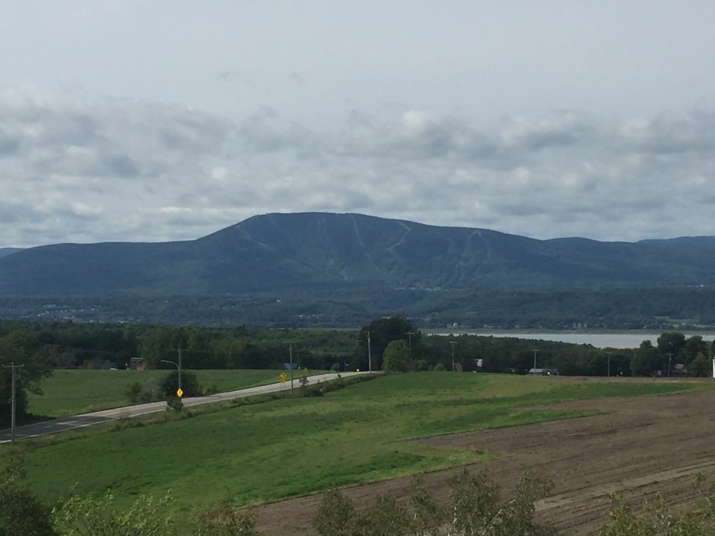
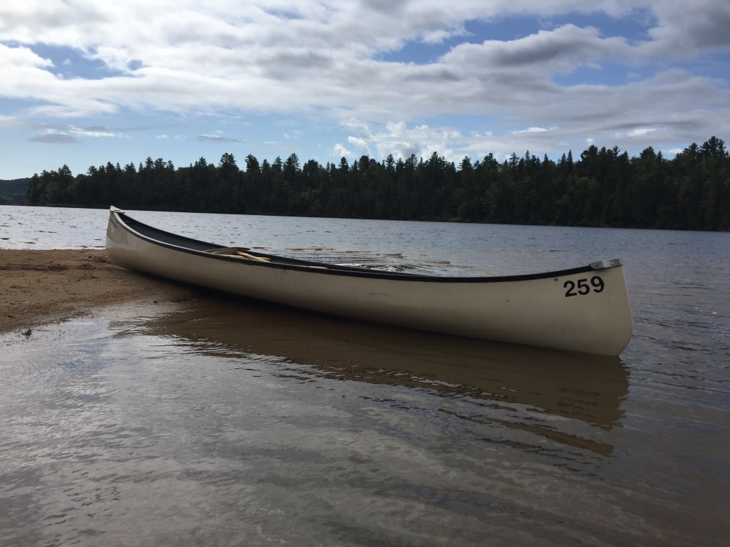
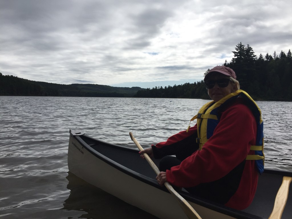
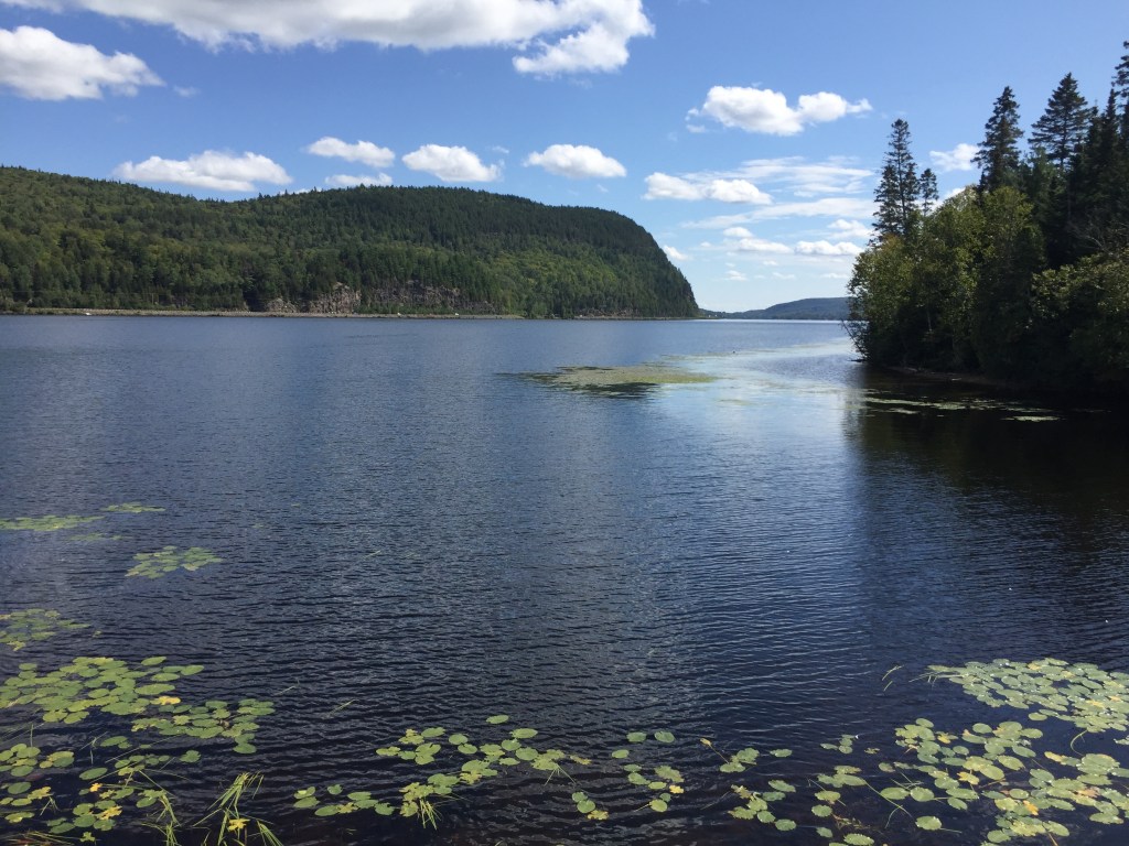
Route 389 passes on the east of the lake and into / over the concentric rings created by the impact. My son and I were just in total awe of the power created by the collision. One can only imagine the heat needed to melt the earth when the crater and rings were made. Pretty awesome stuff. We stopped where possible to get views of the lake and crater and let our imaginations take over.
At the current time, there is not much commercial activity in the area. I have seen on-line where people have kayaked / canoed the lake and traveled onto the island. However, not much activity / easy access at the current time. I am sure this will change in the future as the roads improve into the area.
Some pics from the area:
Between the crater and Baie-Comeau is the Daniel Johnson (Manic 5) dam. The dam was started in 1962 and finished in 1964. It is the worlds largest multiple-arch and buttress dam. Mighty impressive!
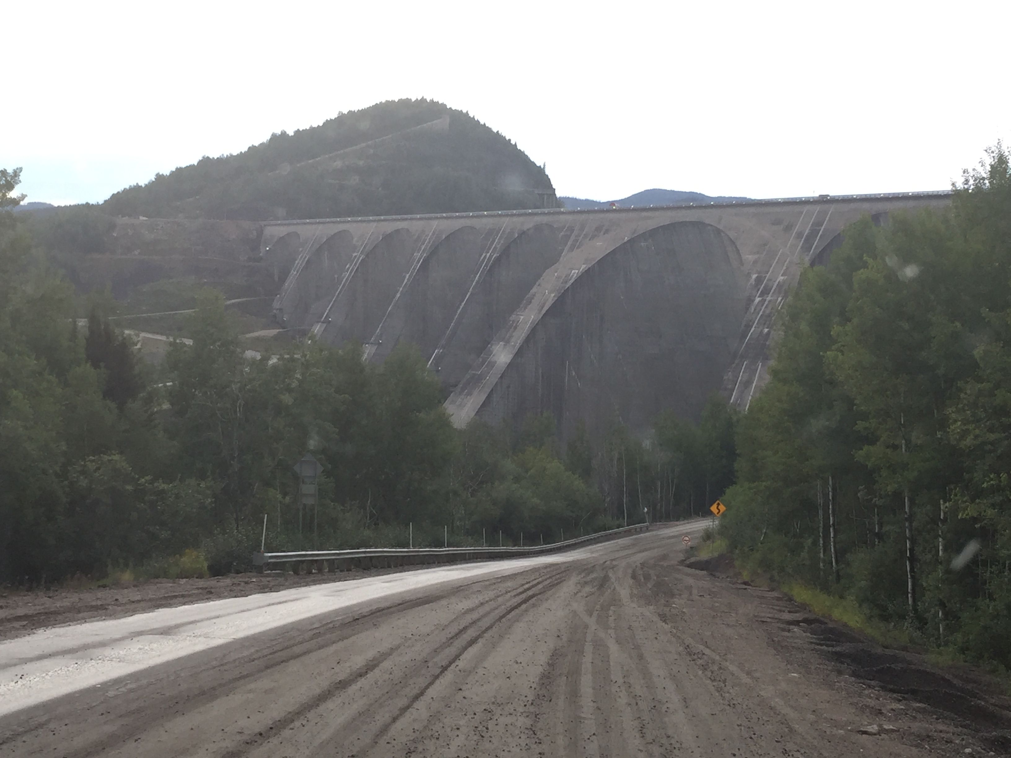
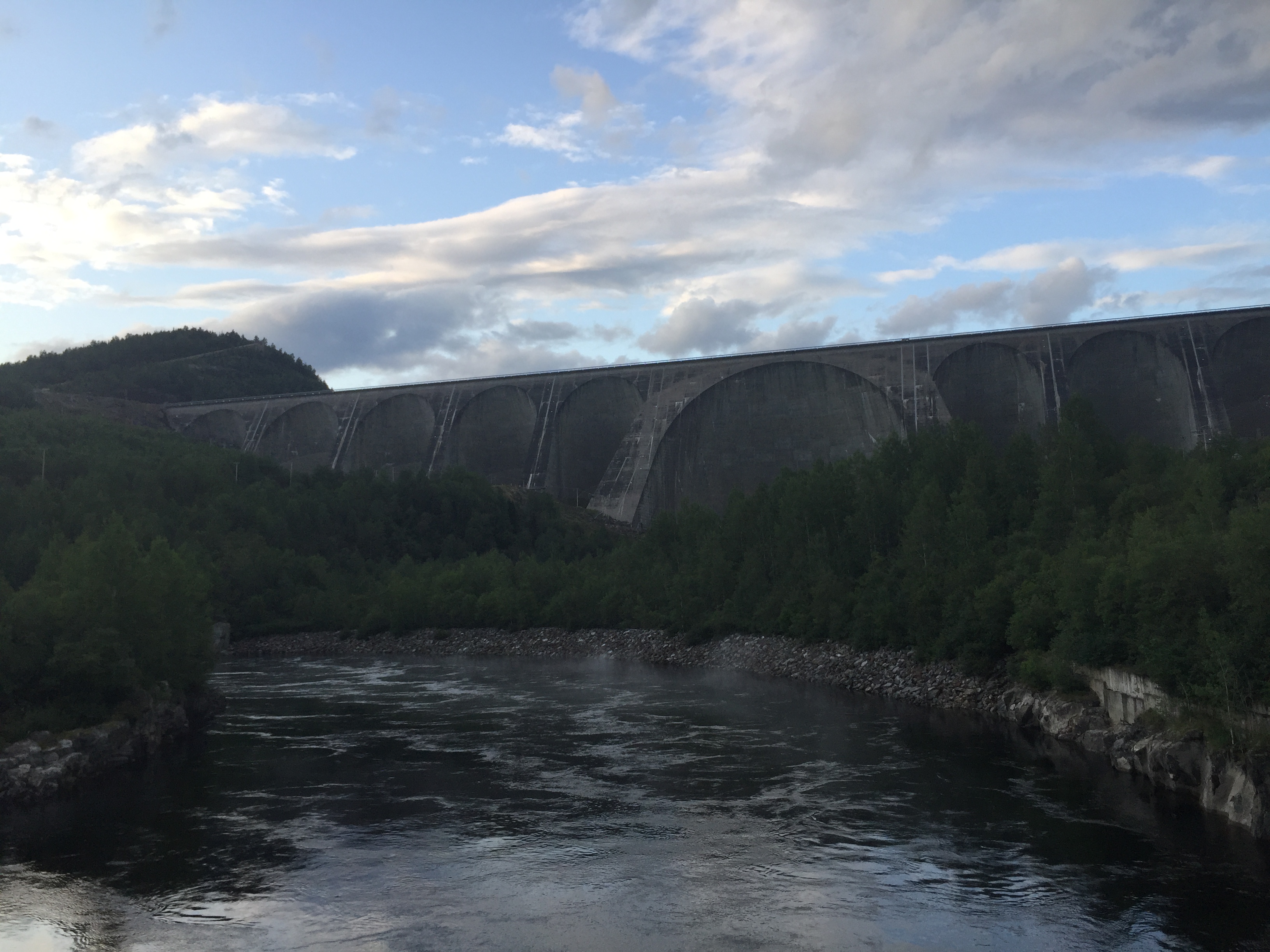
The dam provides electric power to southern Quebec and Montreal. It provided me with another free meal via another bet with my son. The reservoir in Pueblo, Colorado also uses a multiple-arch and buttress design. I commented that the one in Pueblo was just about the same height. My son thought the Manic-5 was at least 5 times higher. So we settled a bet of – 4 times or higher he wins dinner and below that dinner is mine. Once we hit internet service we found that:
Manic-5 height – 702 ft
Pueblo height – 250 ft
We arrived at Baie-Comeau in the evening and spent the night in luxury at the Walmart parking lot.
Veni, Vidi, Vici !!!!!!!!!!!


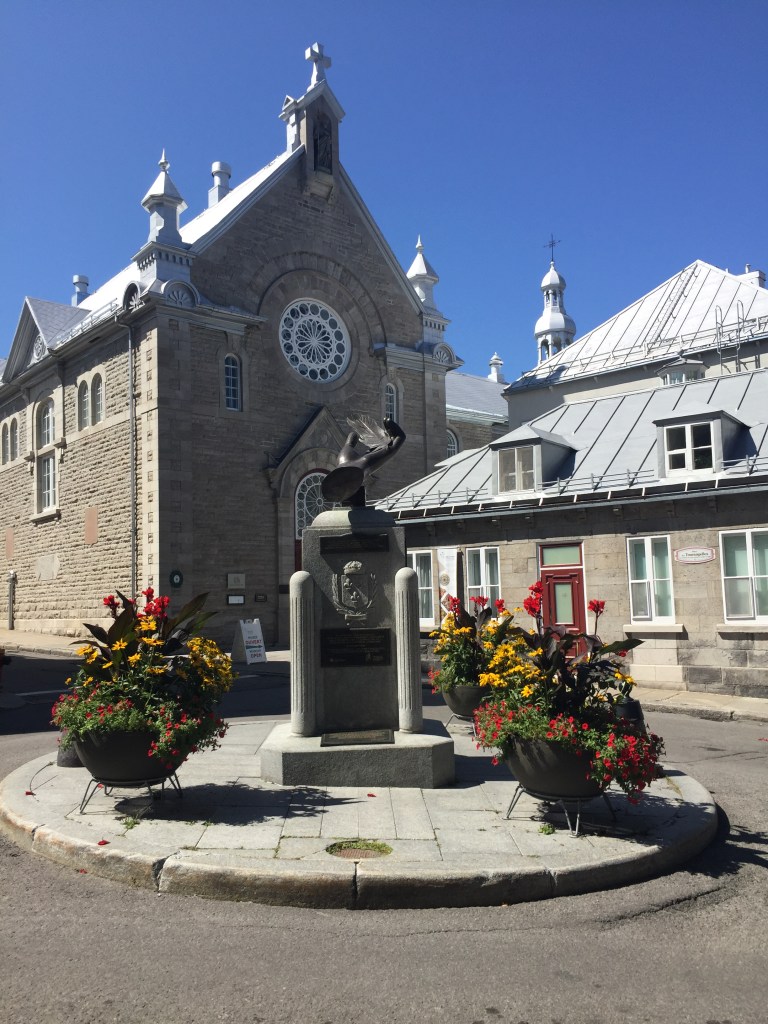


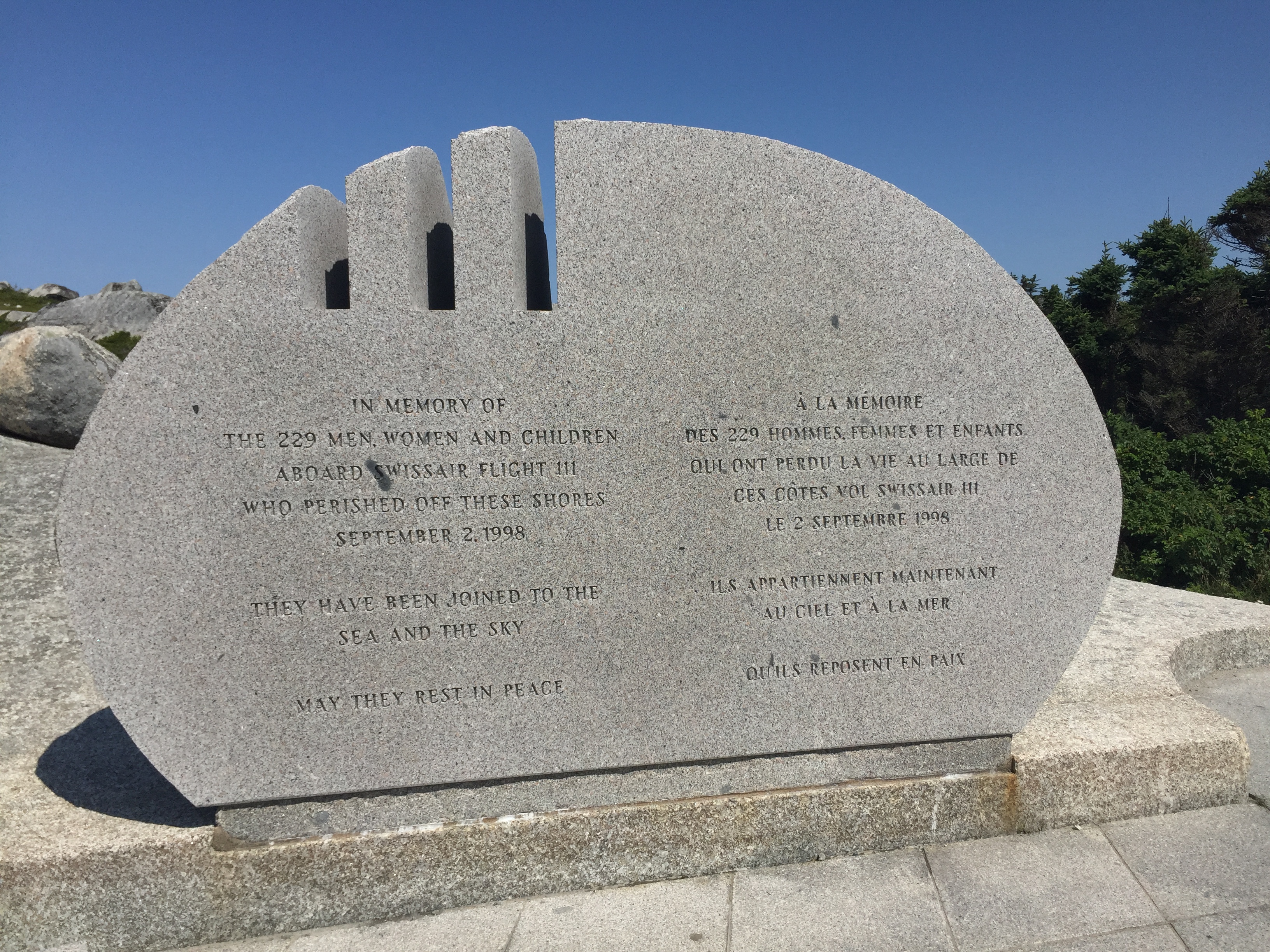
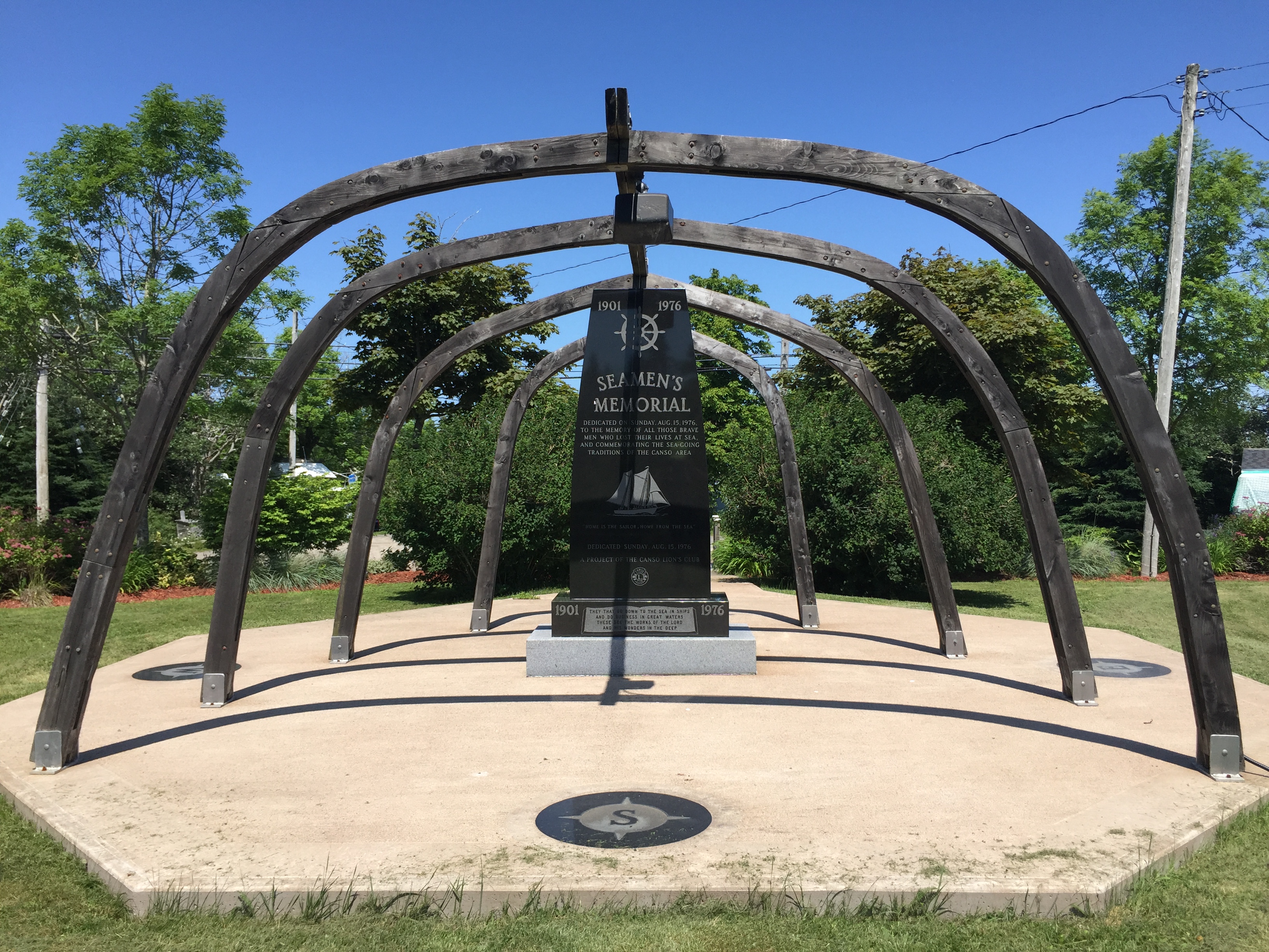
 Swiss Air Memorial: