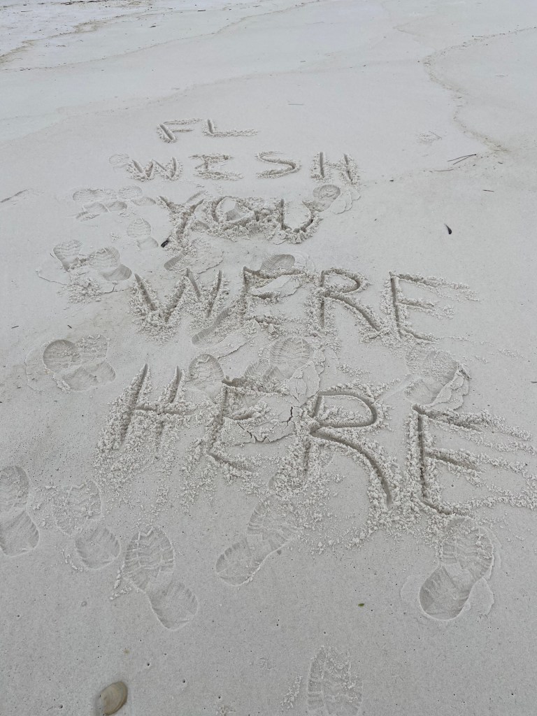
In the spirit of keeping expenses low (only so many photos on a site for free), I have a new blog site for my next series of posts. In total, there are now 3 sites. There are links to the previous and future sites in the menu above.
I have also included the links below and they are:
Florida has over 600 natural springs. Some of the springs are small but many larger ones pump out millions of gallons of crystal clear water each day. The larger springs create streams / rivers which then intersect into the larger / main Florida rivers. Many of the springs are located in Northern Florida. A friend of mine told me that kayaking some of these waters is a must do.
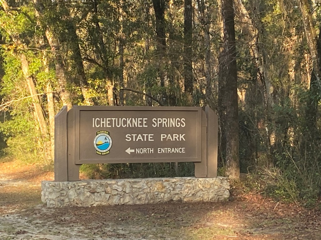
Ichetucknee Springs State Park:
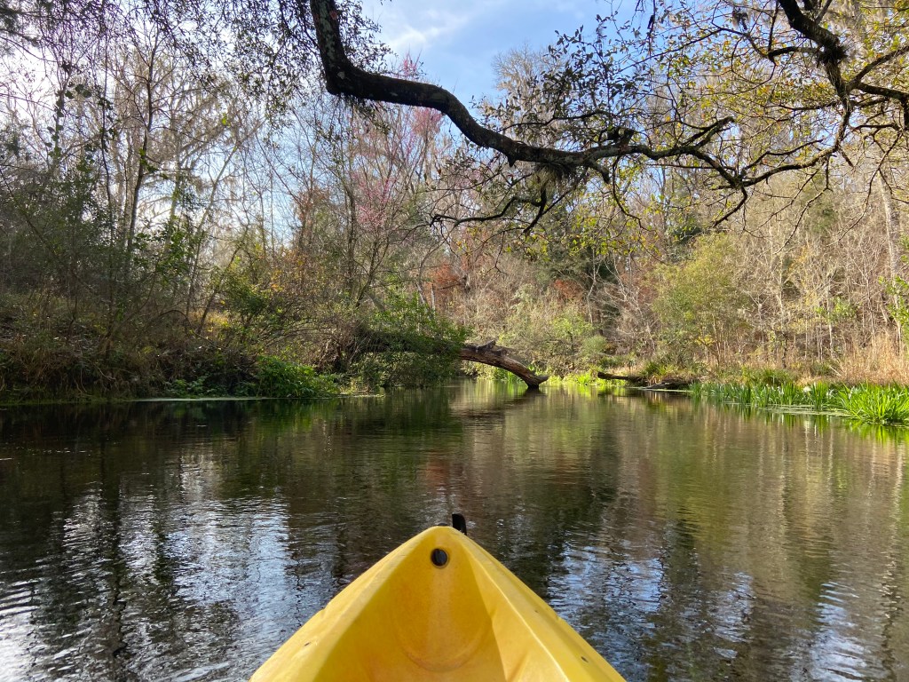
My first adventure was Ichetucknee River with headwaters located in Ichetucknee Springs State Park. My friend noted that the River / Park is very popular starting around spring break time and then through the summer. If you go off season (when kids are in school) and during the week, you may have the river to yourself.
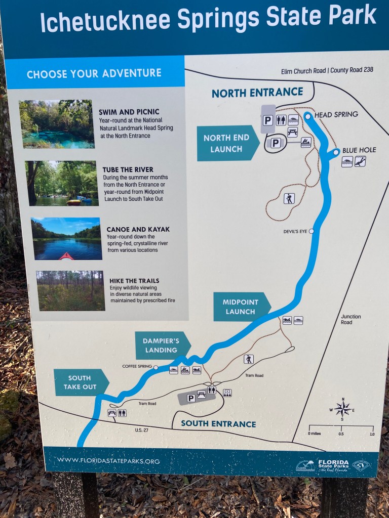
The above map provides a good “feel” for the park. From the Head Spring to the its outlet in the Santa Fe River is about 5.5 miles. Most people use the shuttle service provided by the park which picks you up at the south take out (before the junction with the Santa Fe River). If you have two vehicles, you can do your own shuttle. However, I believe during the busy season, the south entrance is closed to private vehicles (i.e., no private shuttle then).
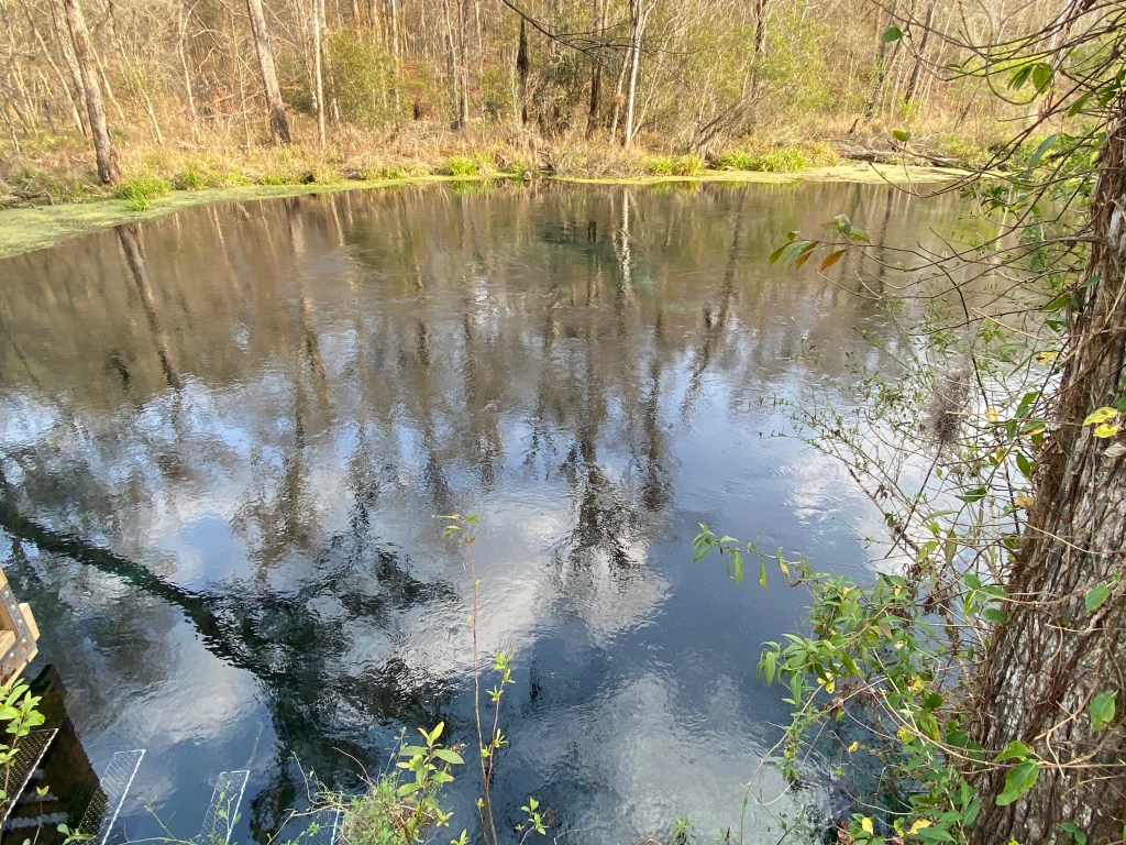
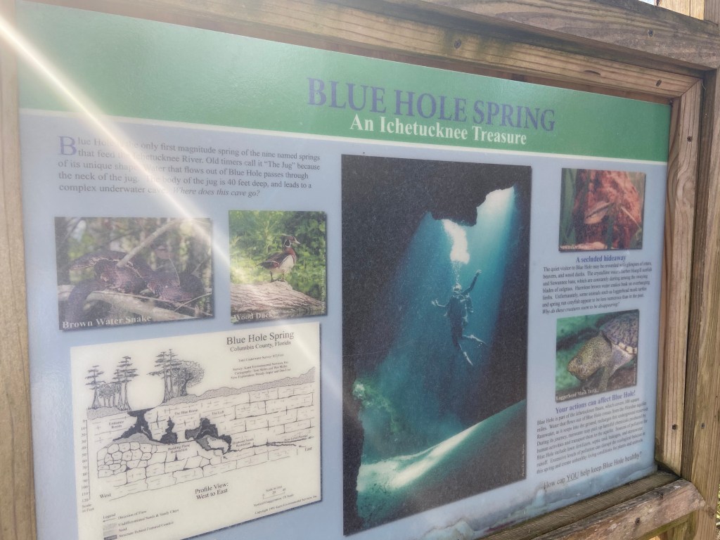
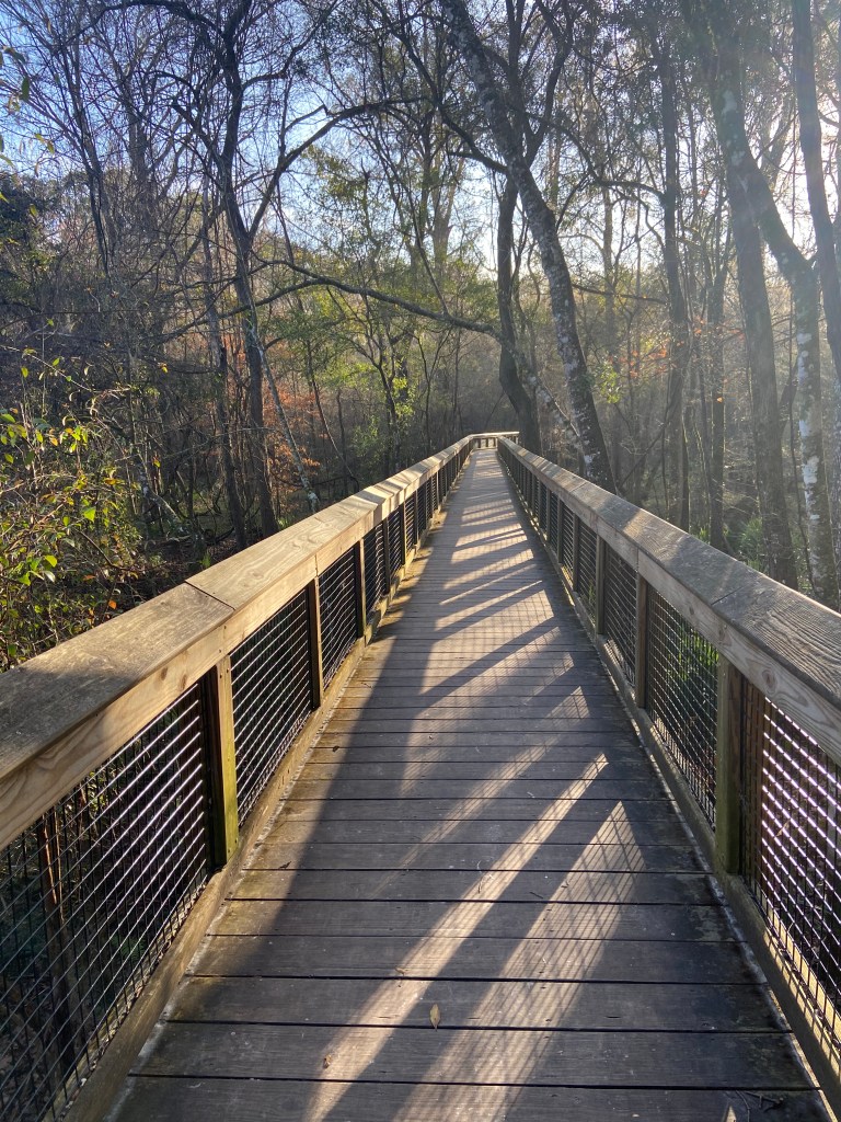
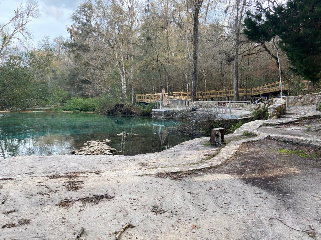
Trails / Walkway lead back to the Head Spring and Blue Hole Spring where you can take a dip (mandatory). Pic of Head Spring:
Pics of Walkway and Blue Hole:
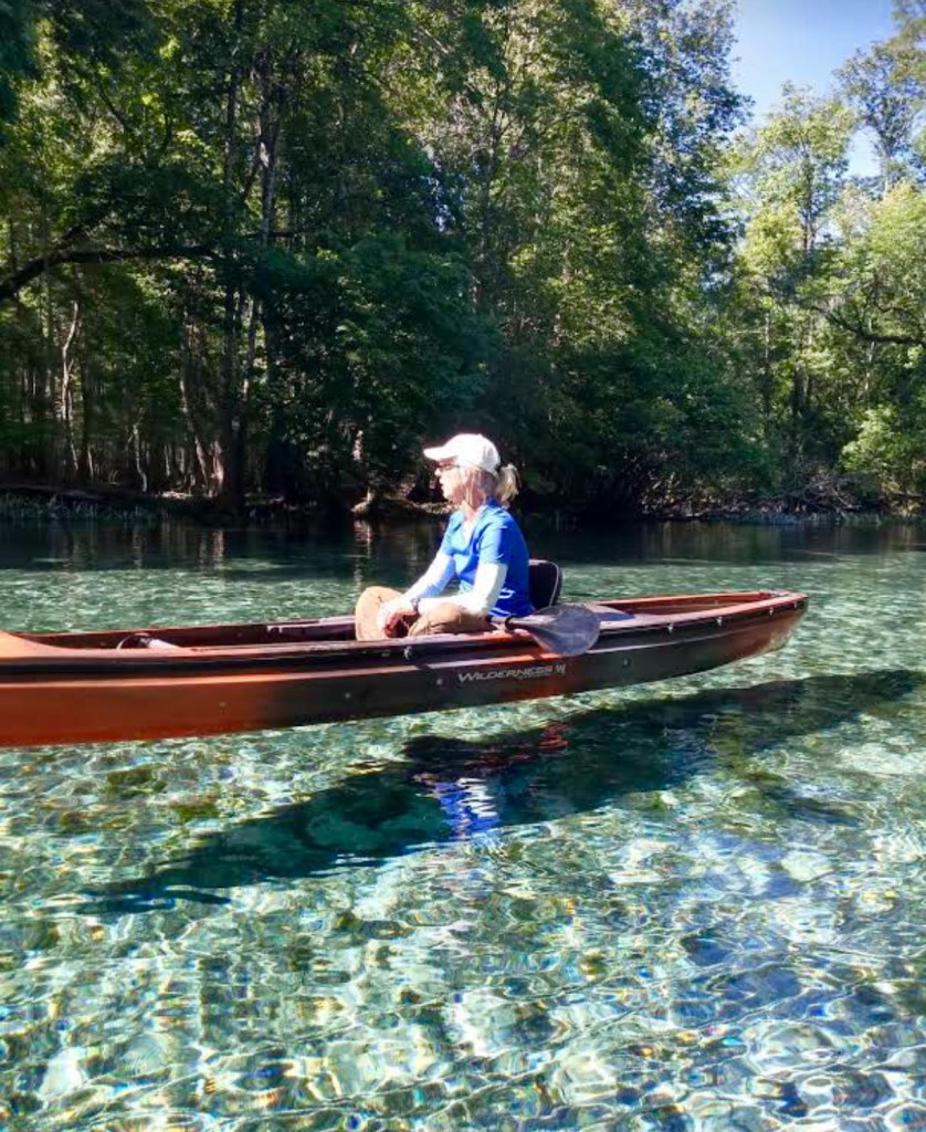
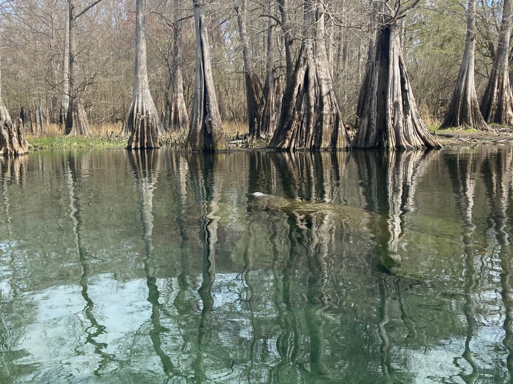
A number of springs feed into the river but the Head Spring and the Blue Hole are the larger two and have a magical feeling. The river water is so clear that other kayakers look like they are floating on air.
Buoys and ropes extend half way across the river at the southern take out point and act as kind of a net, collecting boaters given the faster current in this area. If one stays to the immediate left bank at take out, you can avoid the “net” and pull up to the takeout dock.
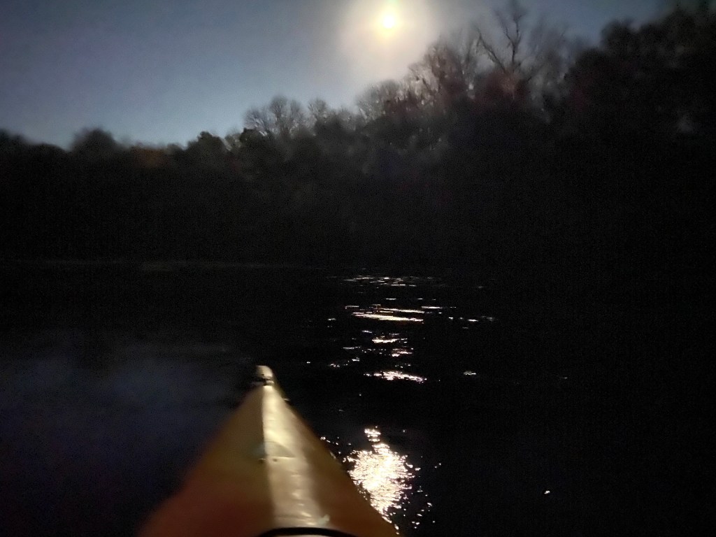
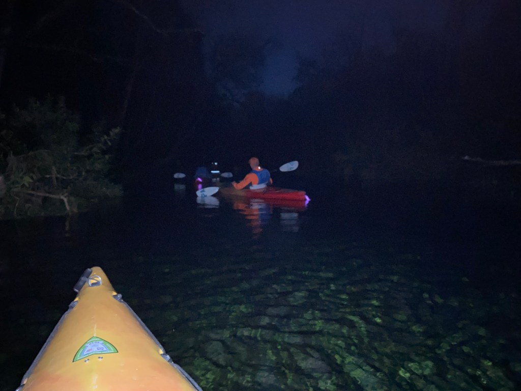
I kayaked the river twice. The first trip was a full moon float. The second was a daytime float to the junction with the Santa Fe River and then another 6 miles down the Santa Fe. For both excursions, I used a kayak and shuttle service provided by the park.
Full moon float
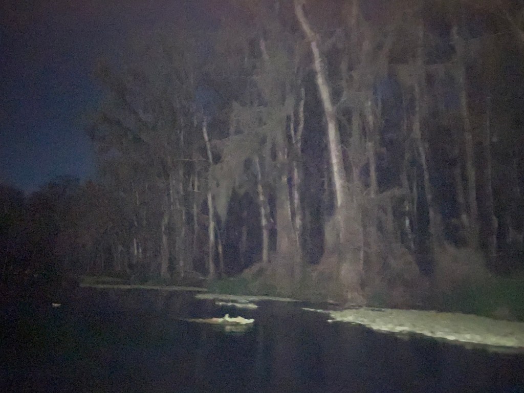
Periodically the State Park will sponsor a ranger led, full moon, float from the headwaters to the south take out. It was a beautiful night, no clouds and the moon lite the way and provided a great back drop along the tree lined river. An awesome float!
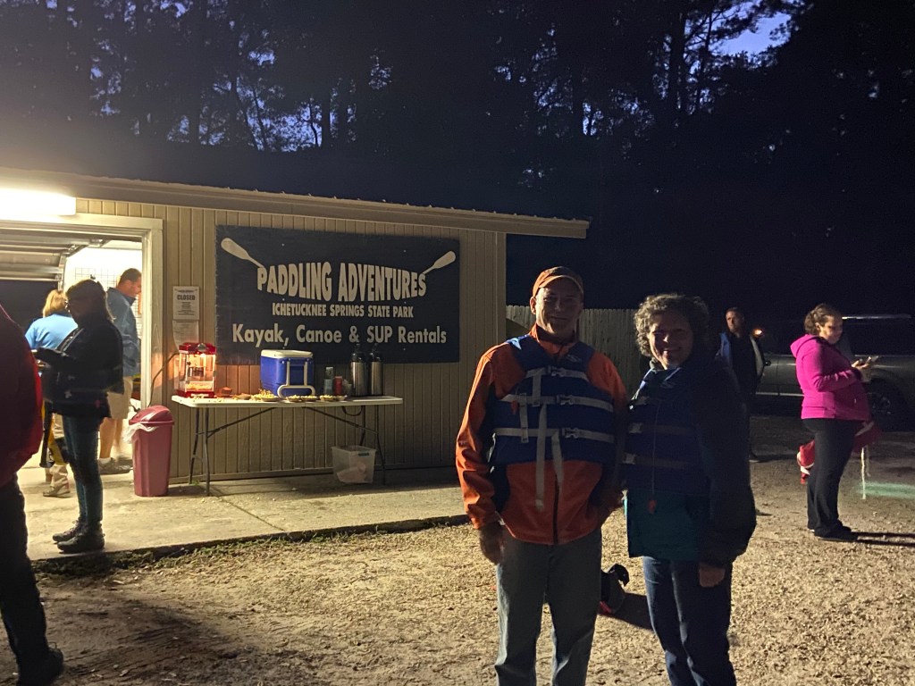
While getting organized at the meeting point, I met a really awesome couple. We clicked right away and still stay in touch.
The ranger had his hands full trying to keep the group together. He would periodically turn around in his kayak to check on the group. He had warned us at the start that given the dark we might hit some submerged logs or tree branches. As such we needed to be careful. When he turned around one time, he floated into a submerged log. It turned out he was the only person who took “a dunk” that night.
Float to Santa Fe River Junction and Down the Santa Fe:
While the full moon float was special, a daytime float allows for a completely different feel. I was lucky when putting in at the rental shop. It was only me and a lady putting in the river. We were both doing the same route to a shuttle pick up.
My friend who recommended the river, noted that you should take your time and enjoy the beauty and surroundings. I took her advice. Once we hit the water, the other renter zoomed off. I then had the river to myself and took time to absorb everthing , SWEET!
Once I was on the Santa Fe river, the wind picked up and blew straight upriver. Constant paddling was needed to make headways. It was all I needed when I reached the take out point.
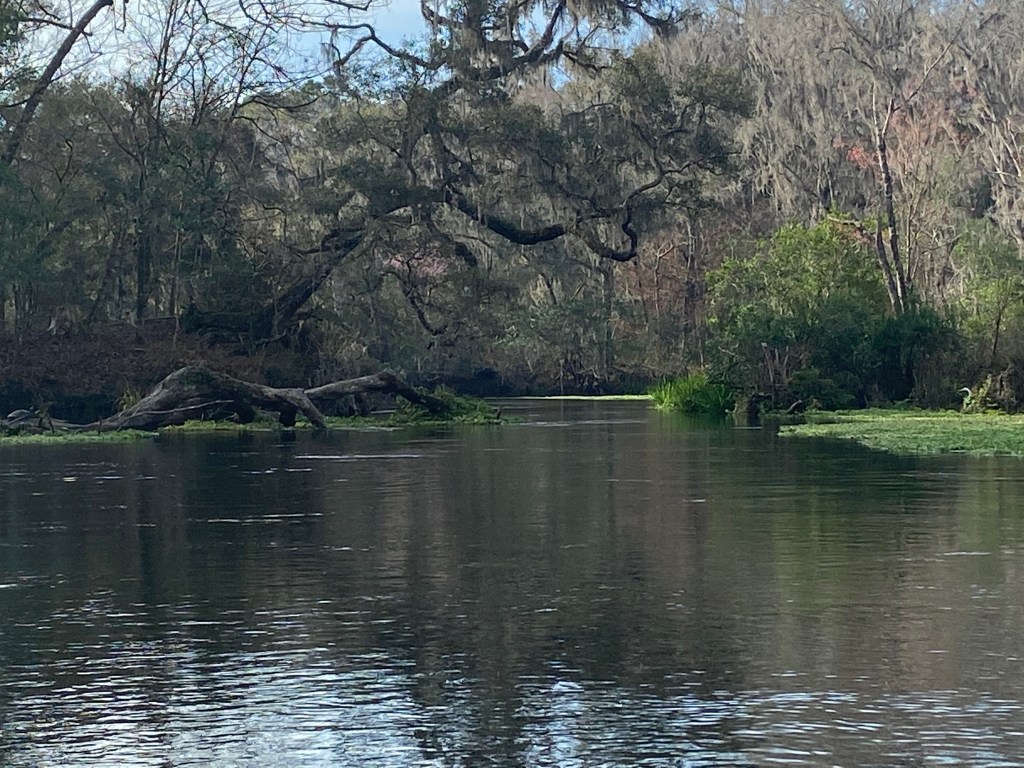
Some pics from the float to the Santa Fe junction:
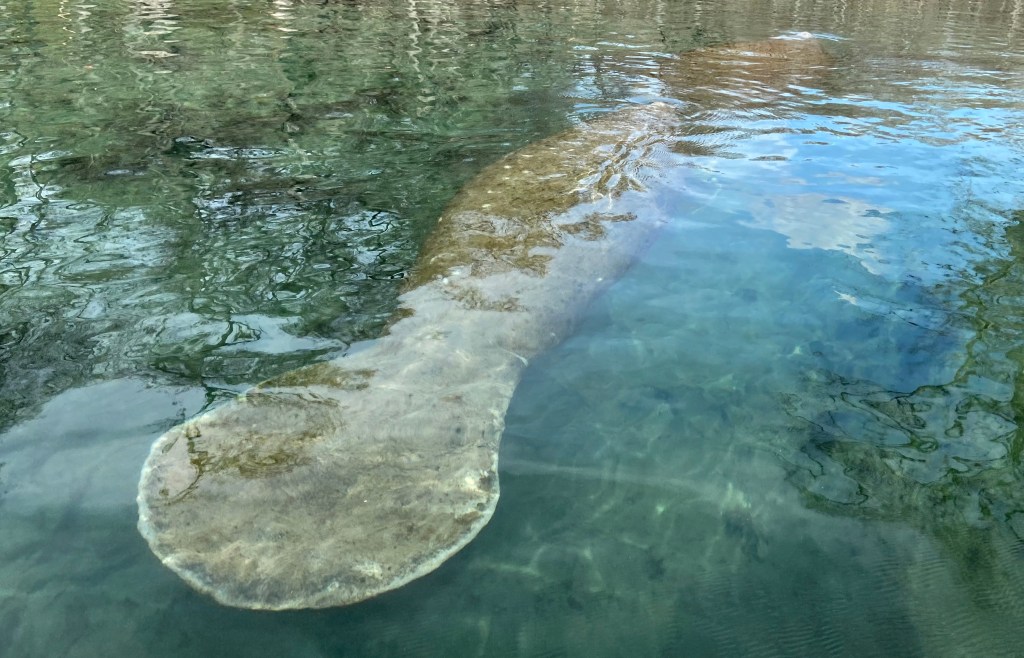
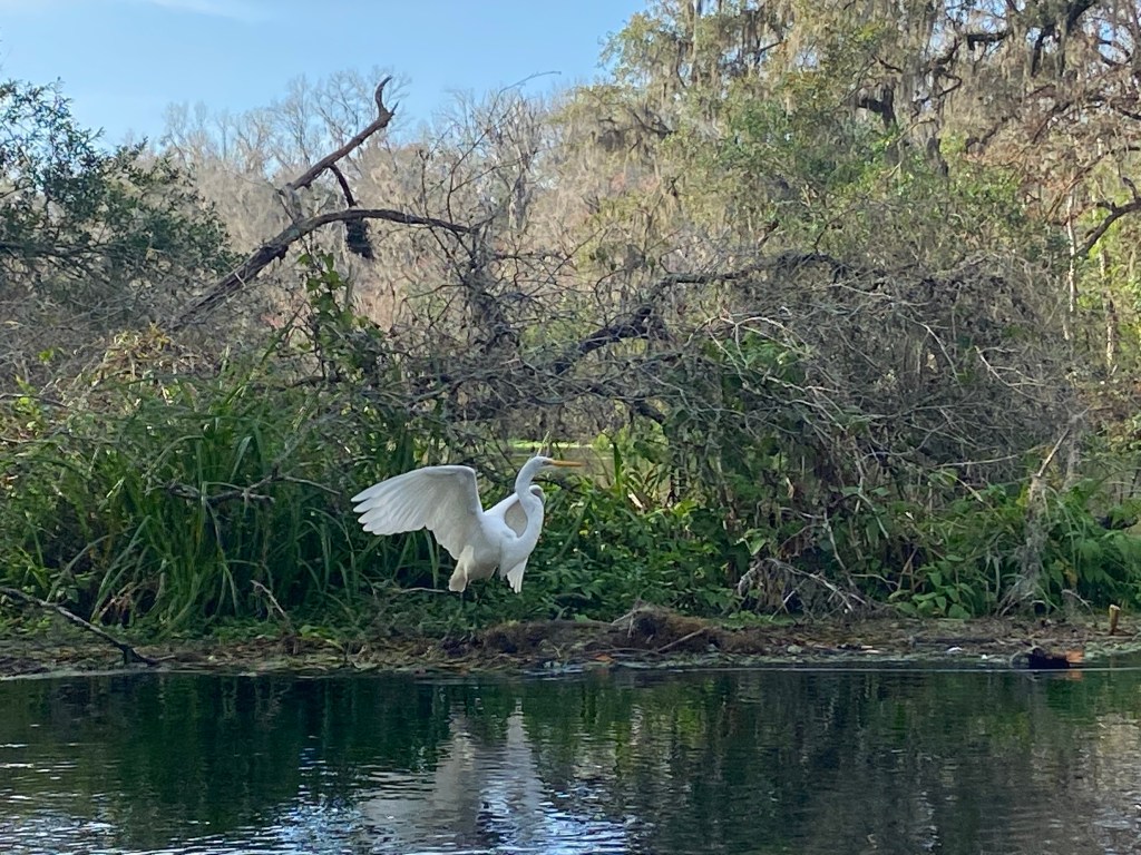
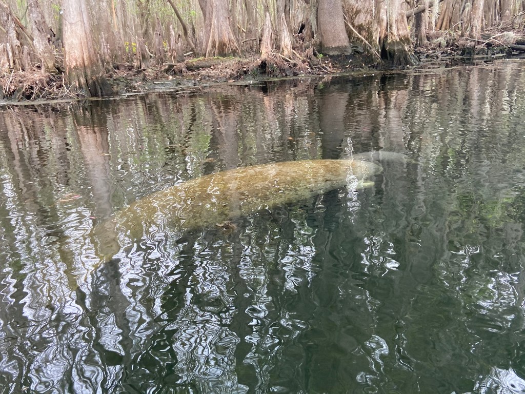
At the junction with the Santa Fe River, I was rewarded with a surprise. My first experience with Manatee in the wild. There were four manatee lounging in the area. I spent quite awhile just taking in the scene. Pretty cool!
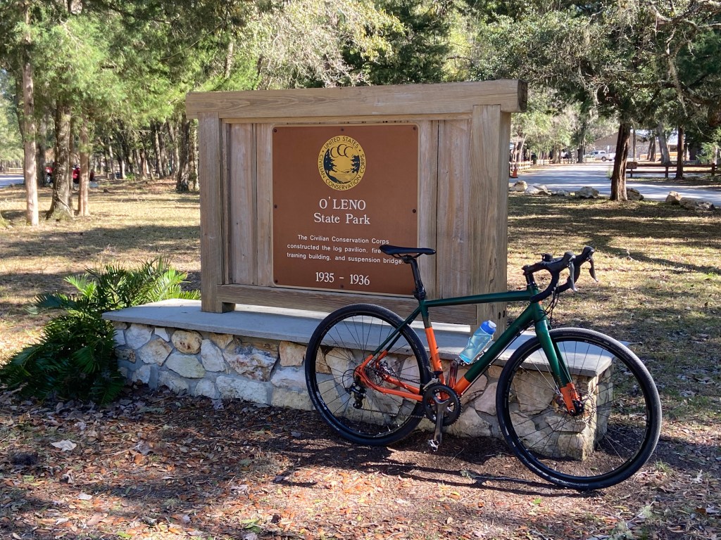
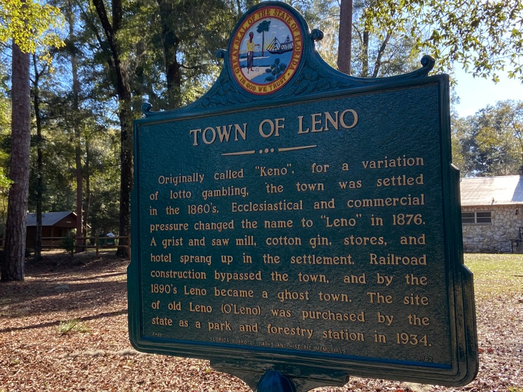
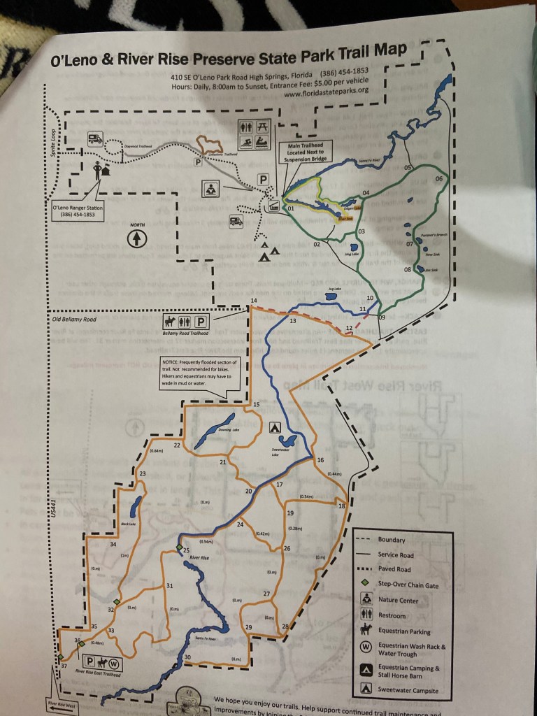
O’Leno State Park:
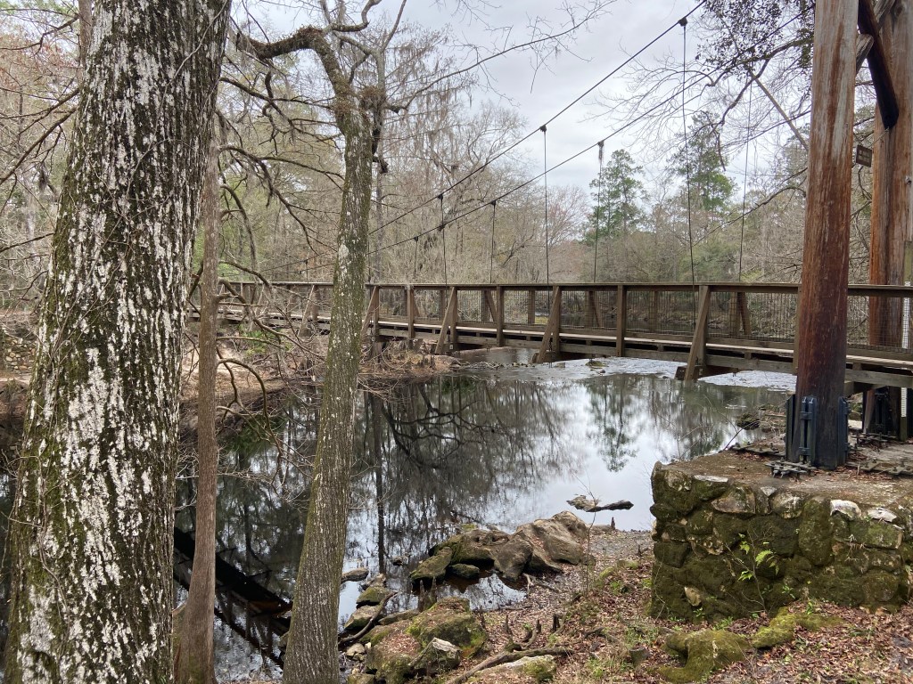
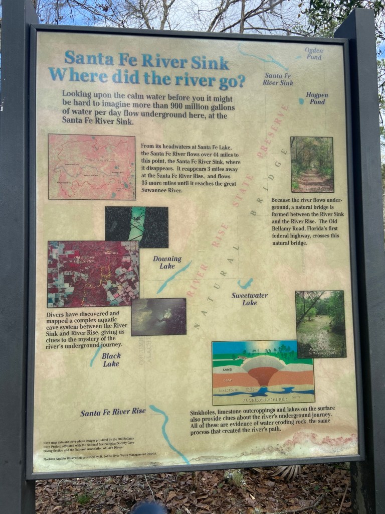
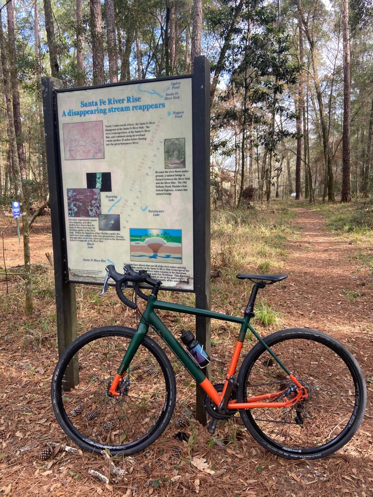
Ichetucknee Springs State Park does not have camping. I camped at O’Leno State Park State Park which is about 14 miles from Ichetucknee. O’Leno offers hiking, biking, and kayaking opportunities. Within the park, the Santa Fe River disappears underground for quite a distance before it reappears.
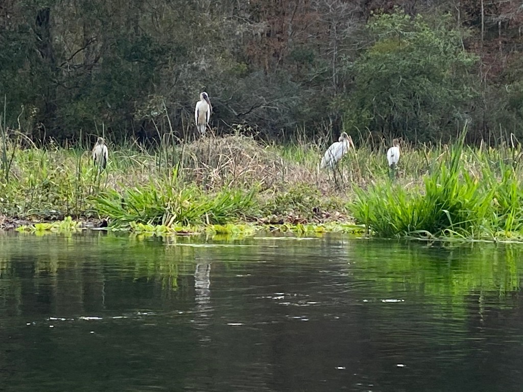
I camped four nights at O’Leno and biked and hiked, as well as doing the two kayaking trips to Ichetucknee. Some pics:
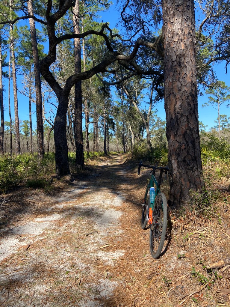
As you can see from the above map, there are miles of hiking trails. A few trails are hiking only, the others are available for biking. I peddled down to the river rise area from the campground, around a 10 mile round trip. The pathways provide variable composition and get a little worse the father you go from the campground. I was on a gravel bike but a mountain bike would be more fun.
I enjoyed this campground, very quite and relaxing. A person can paddle upriver from O’Leno. It looked like there may be numerous obstacles. However, the current is really slow, so there should not be any problem working around them. Famous last words, I guess.
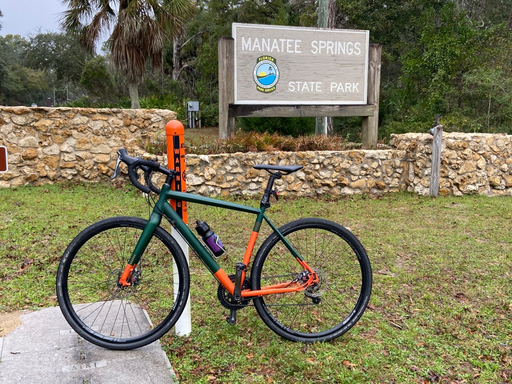
Manatee Springs State Park:
My next stop was Manatee Springs State Park. This park provides great access to both paddling and cycling. The park sits next to the Suwannee River. There is a natural spring located in the park which flows into the Suwannee. The spring puts out over 100 million gallons of water a day. There is a non-motorized boat launch just below the head spring. You can put in your kayak and drift to the Suwannee (less than a quarter mile).
The park has around 80 campsites, kayak rentals, concession stand with food (great BBQ) and drinks. There is also a boardwalk that follows the spring flow to the its intersection with the Suwannee.
Very nice set up. Note there is no cell service in the park.
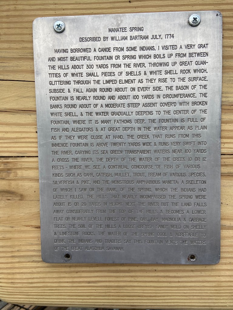
I liked this plaque that notes an early visitors thoughts upon seeing the spring.
I really enjoyed kayaking the area, going from the park put in to the Suwannee and then upstream.
Kayak put in area just below the headspringThe float to the SuwanneeThe boardwalk is visible on the right side and ends on an overlook platform.
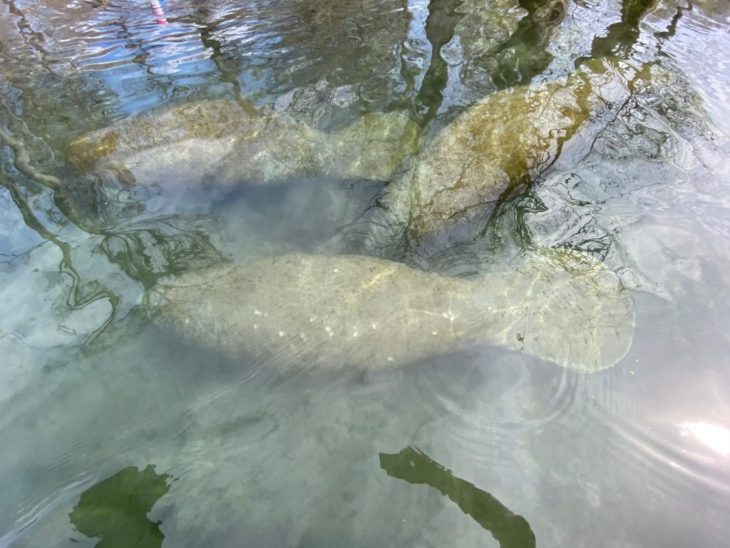
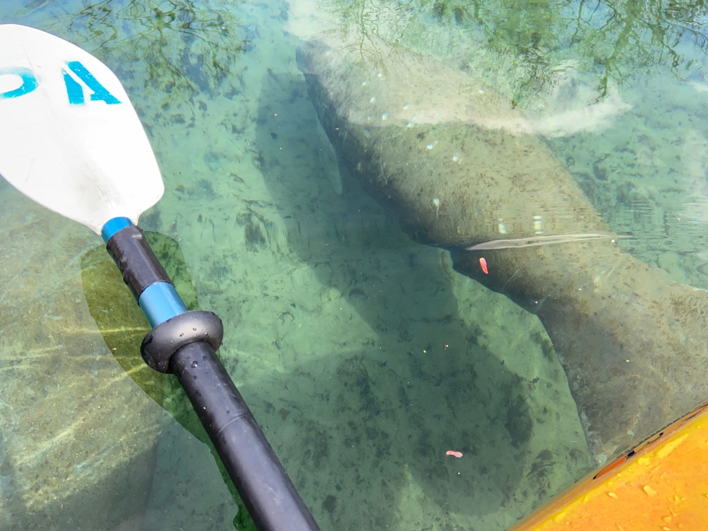
I saw many Manatee at the junction of the spring flow and the river. There was one Manatee that isolated herself from the others. On one of my floats, I saw the reason why. A newborn! You can see the baby just above the mama’s head. It was interesting to watch there interactions. I spent over an hour just watching. Pretty awesome stuff.
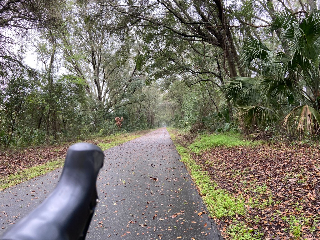
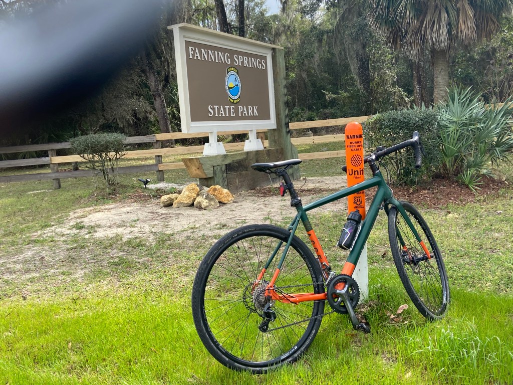
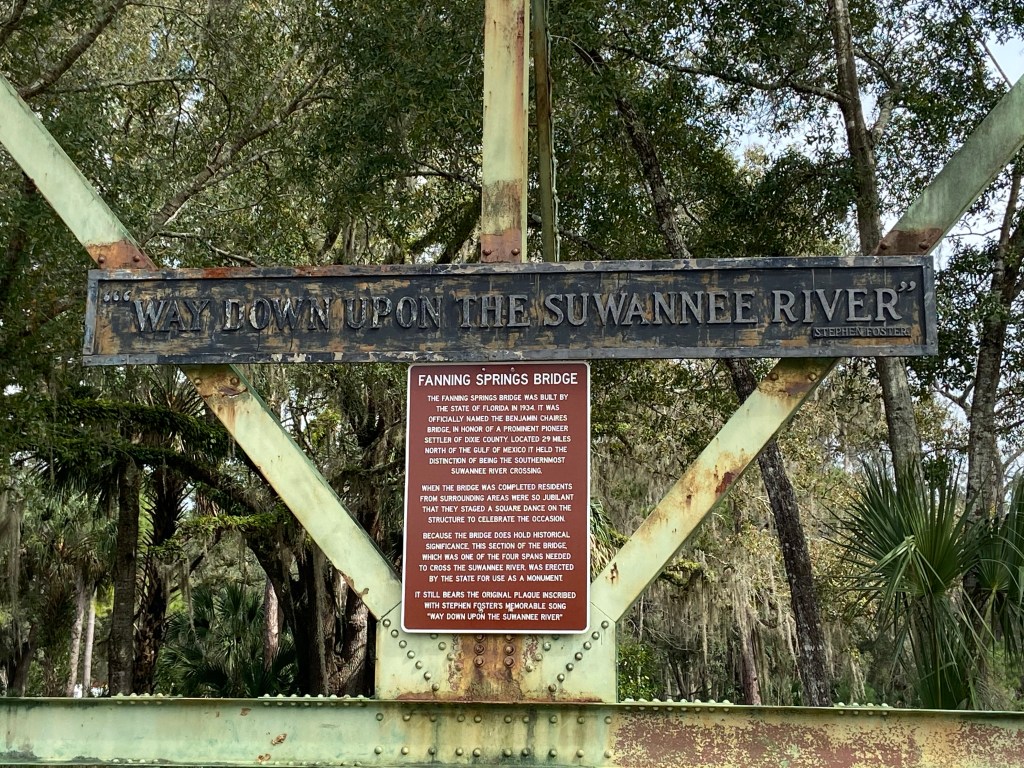
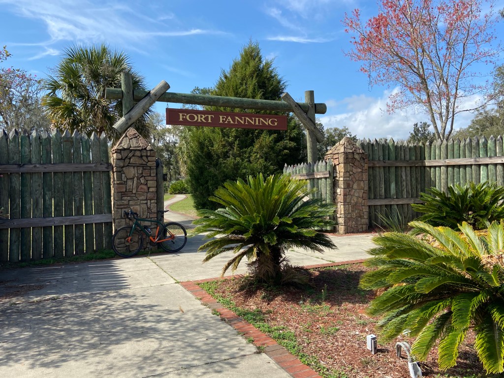
I spent my time alternating between kayak and bicycle. If you follow the road that leads into the park (which has a nicely marked bike lane) for about 8 miles, you will intersect with the Nature Coast State Trail. The Nature Coast State Trail is a paved rails to trails path. The trail is shaped like a T with the top of the T running from Cross City to Trenton. The leg of the T runs from Chiefland through Fanning Springs to the top of the T. Really safe riding.
Some pics from my rides:
Story time:
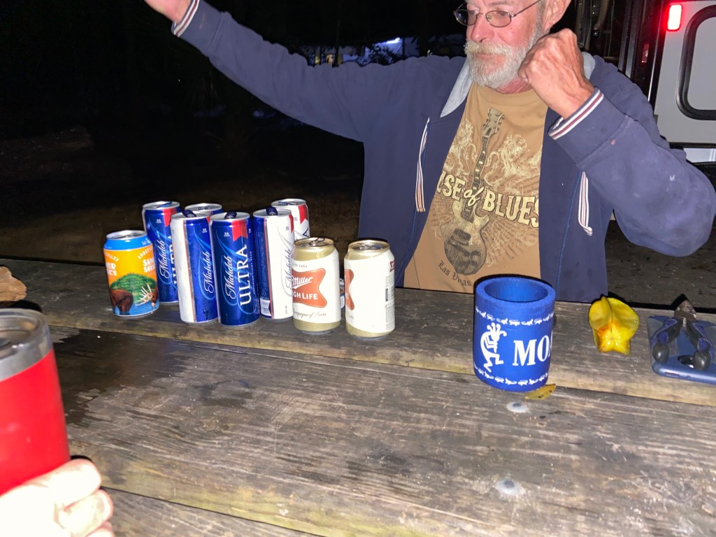
After dinner one night at the campground, my neighbor on one side stopped over and asked if I would like a beer. It was not long before the neighbor on the other side joined us. Both of them were born comedians. One was a correction officer from New Jersey and the other was a retired river guide from Utah. Their personalities could have not been more different. I just sat and laughed the while night, comparing them (in my mind) to Cheech and Chong. Luckily our campsites were a little away from other campers, as we went well into the night. We managed to empty each of our coolers by the time we ended the night. So many big belly laughs that night.
My 2020 Florida plans included spending some time with my brother who lives in West Palm Beach Gardens; a friend from South Carolina who drove down to Florida; and also a friend who lives in Hollywood, FL.
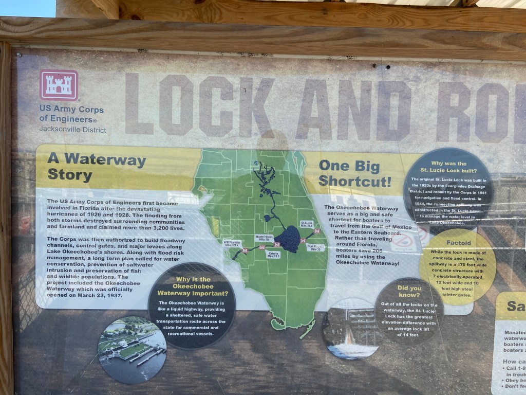
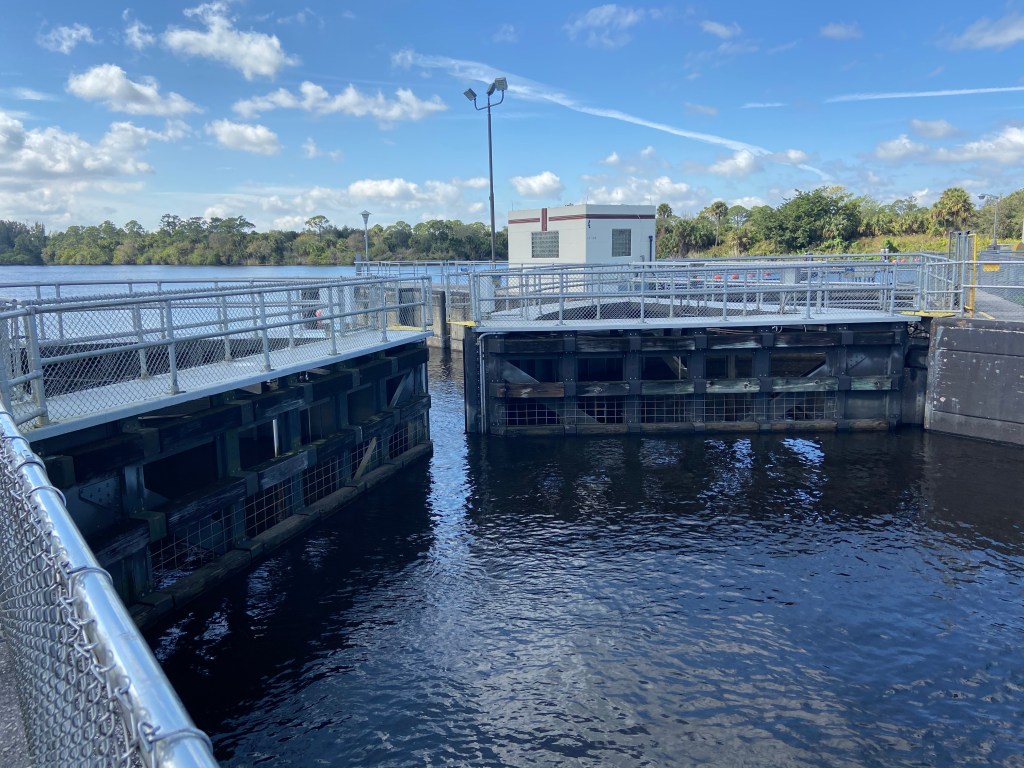
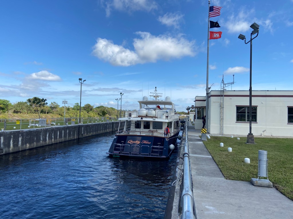
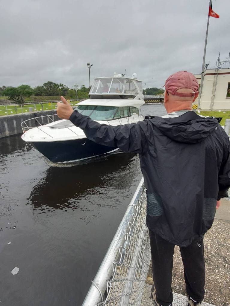
First stop was Phipps Park in Stuart, FL. where I camped for 6 nights. Roger (from South Carolina) joined me for camping here and we were able to meet up with my brother for various activities. The Park sits on the Okeechobee Waterway which allows watercraft to move from the Atlantic Coast to the Gulf Coast without going all the way around the tip of Florida. The waterway is basically a canal across the middle of Florida.
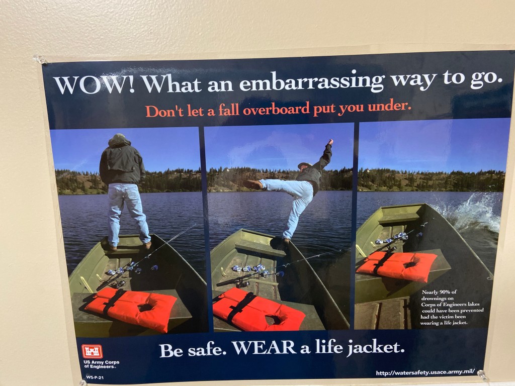
Like the sense of humor someone had putting this poster together.
A number of locks are used to facilitate the movement of watercraft.
Right next to Phipps Park is a US Army Corps of Engineers Campground that is associated with the adjacent lock system. The campground has limited camping sites but looks like a great place to stay and also accepts the Senior National Park Pass for camping. The campground name is St. Lucie South Campground.
I tried to catch a ride but no luck:
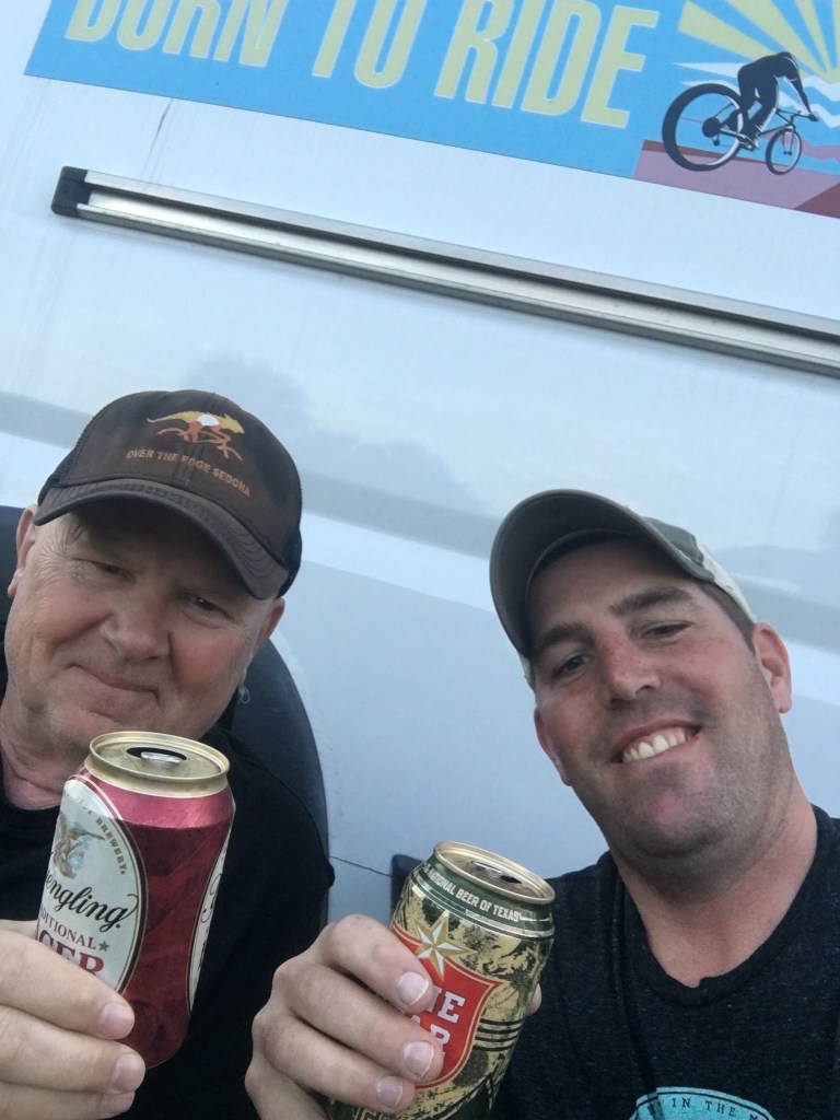
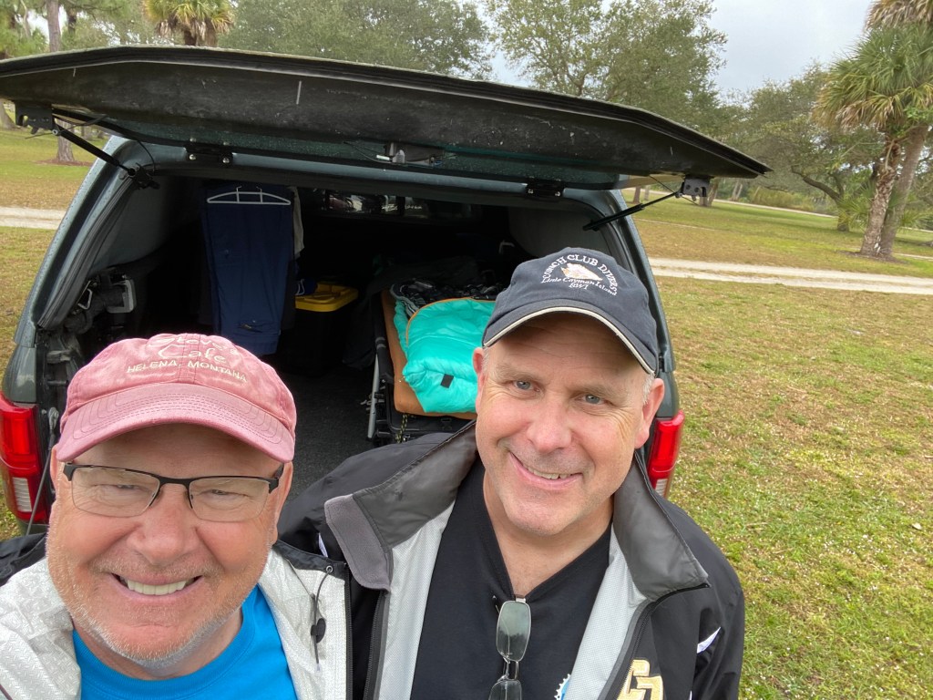
My brother came to visit as much as possible given his busy schedule.
Roger has a pull behind camper but went with just the back of his pick-up for this trip.
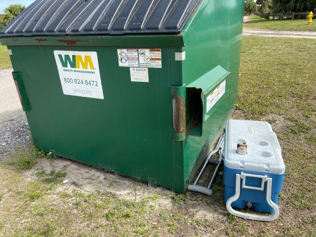
When throwing the trash one night, I came upon this scenario:
I guess with a night of partying, someone was “HEALD”:
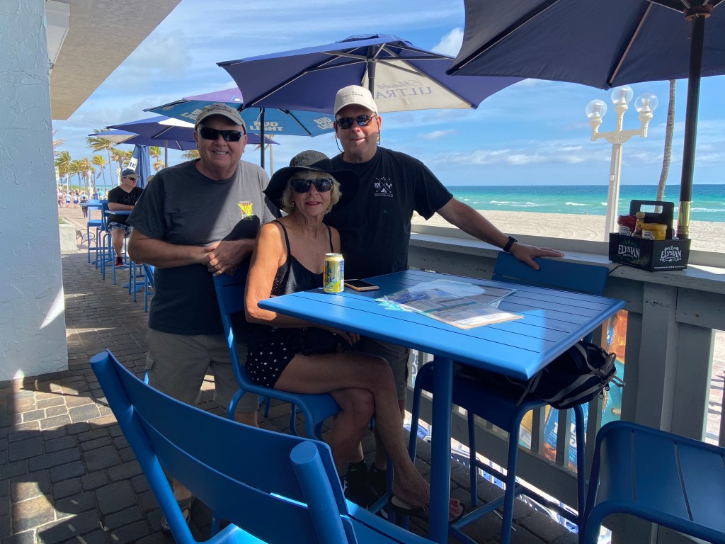
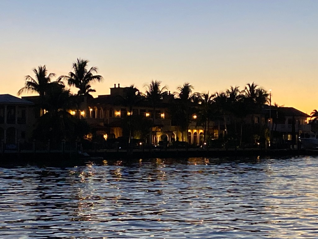
After saying goodbye to my brother, Roger and I headed to see our friend Annie in Hollywood, FL. Annie put us up for 4 nights and acted as our tour guide.
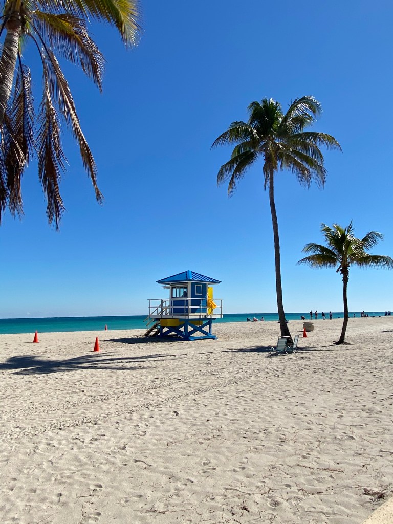
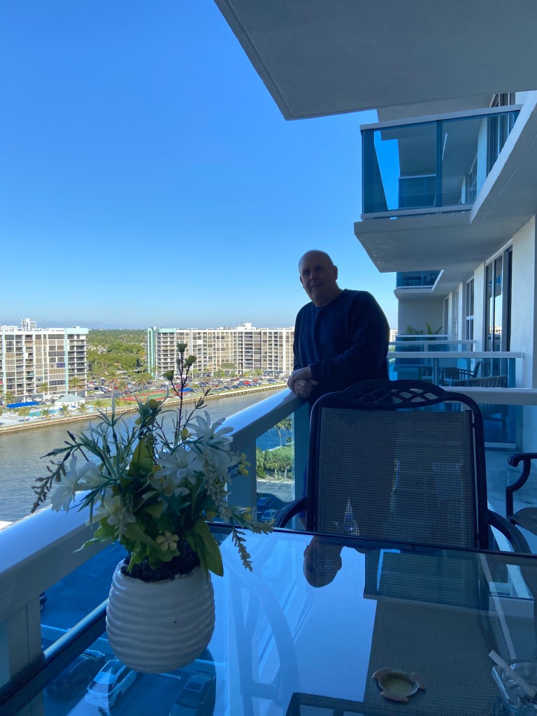
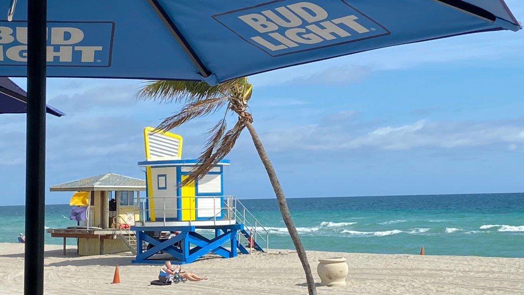
View from Annie’s apartment, which sits on the inter-coastal waterway on one side and is 100 yards from the beach on the other. Nice digs!
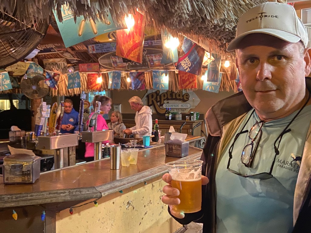
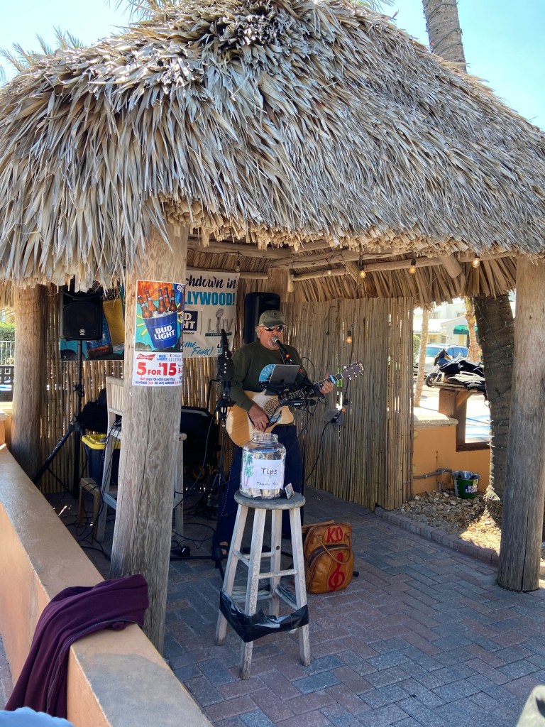
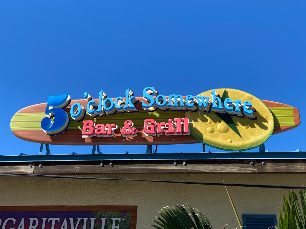
On the beach boardwalk, our go to bar was the Riptide. Great place and Annie knows one of the musicians who plays a couple nights a week. Always a good time.
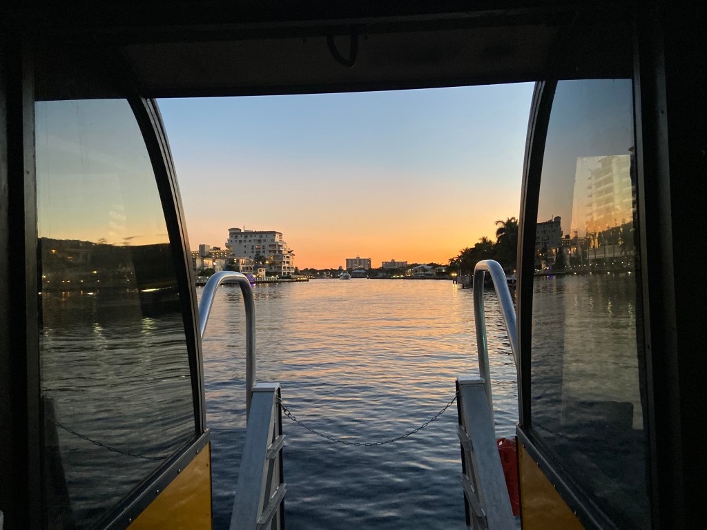
One day, we took a water-taxi that goes between Hollywood Beach and Fort Lauderdale on the inter-coastal. A ticket purchase option allows for unlimited on and off along the way, at designated sights. The boat operator points out items of interest. Highly recommend this.
Some pics:
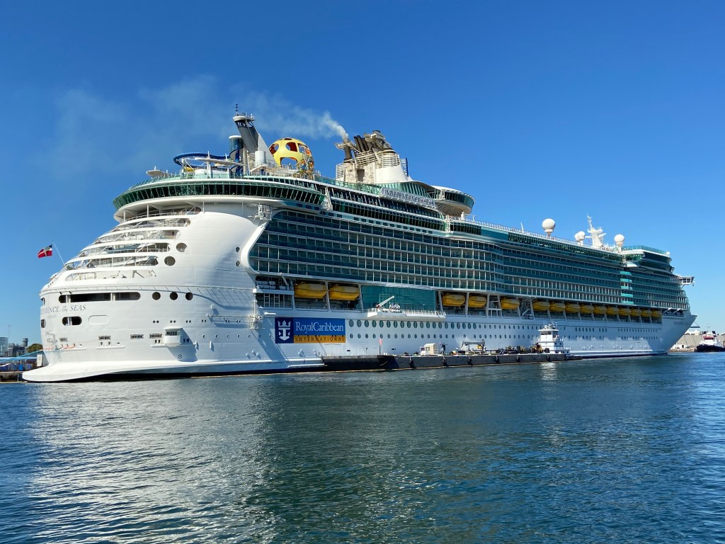
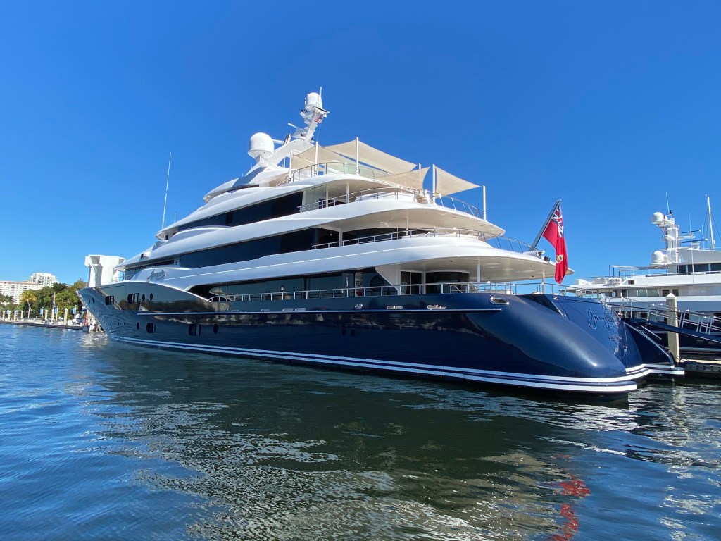
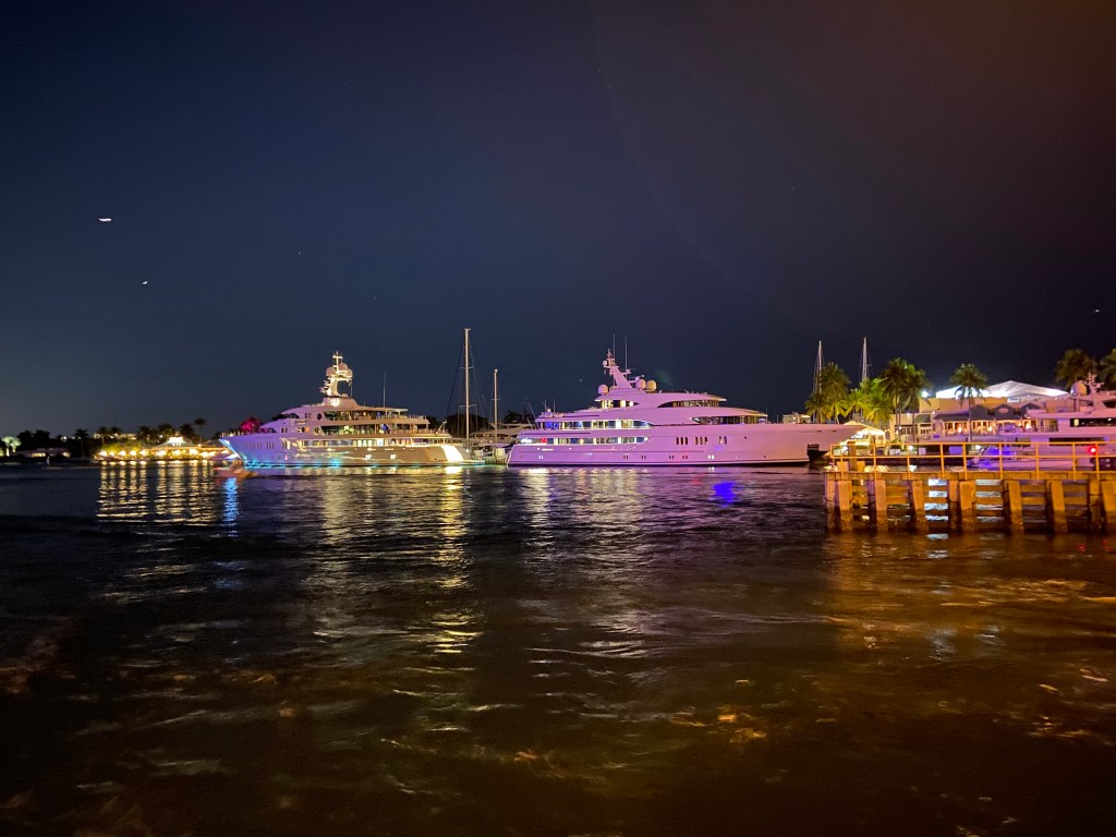
Our starting point!This is one of the yachts owned by the family that started Amway. We were told this is the smaller craft from their quiver.
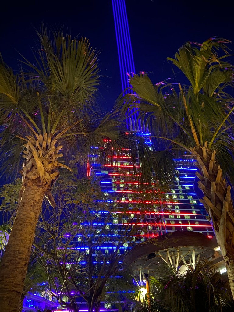
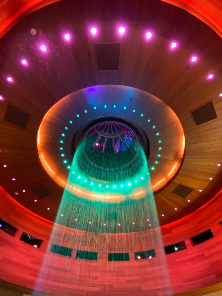
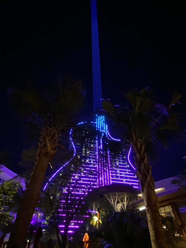
We spent an evening at the Hard Rock Resort and Casino. Quite a colorful and “eye-mazing” set up.
Had a great time with family and friends and hated parting ways. Now, off to Northern Florida for some kayaking.
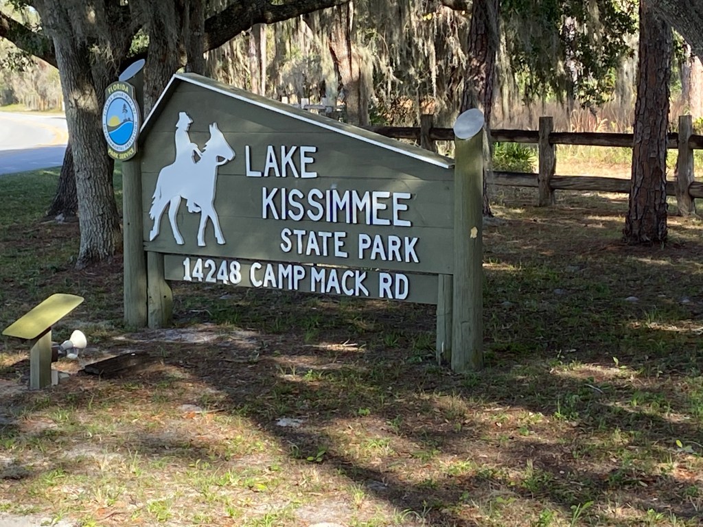
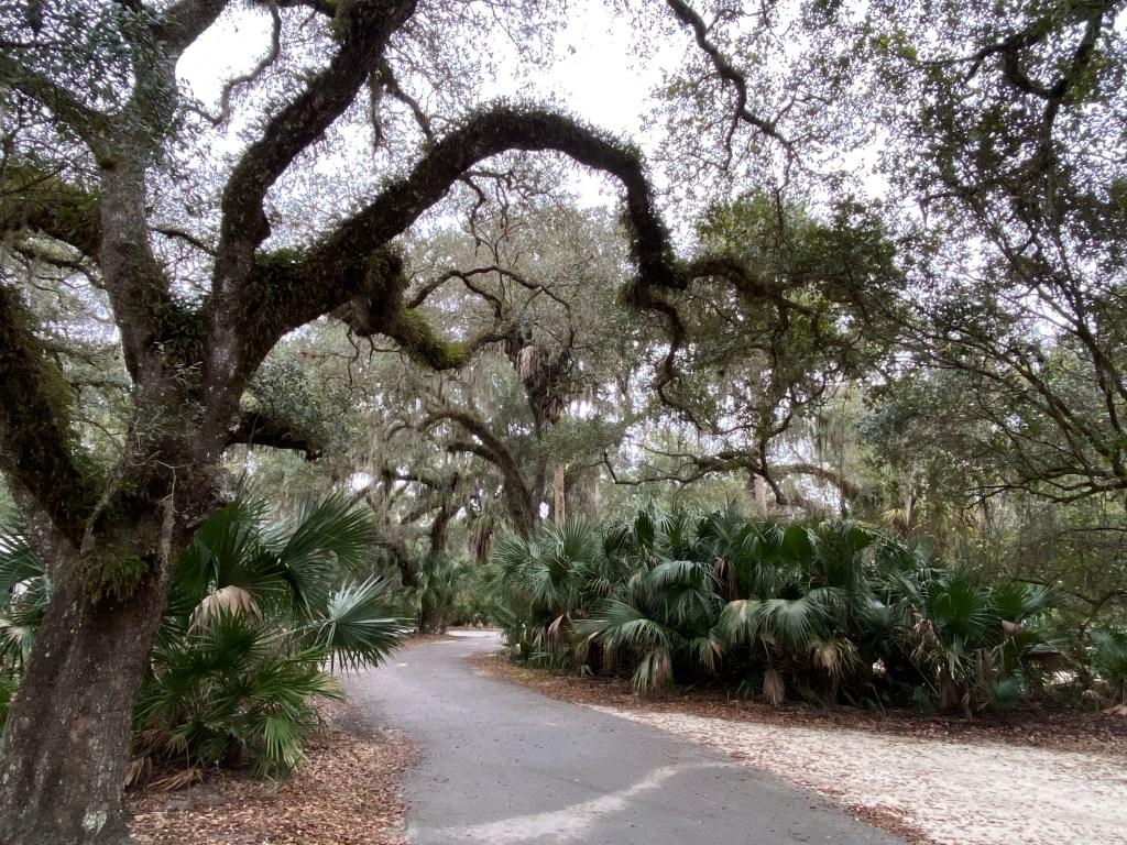
Lake Kissimmee State Park offers something for everyone. The campgrounds are well maintained and each site has plenty of room. Most of the sites are located in an old growth oak hammock forest. Pretty cool. It is surrounded on three sides by Lake Kissimmee, Tiger Lake and Lake Rosalie. With so much water, you can imagine this is popular with boaters and fisherman. It is a big park, with 5,930 acres.
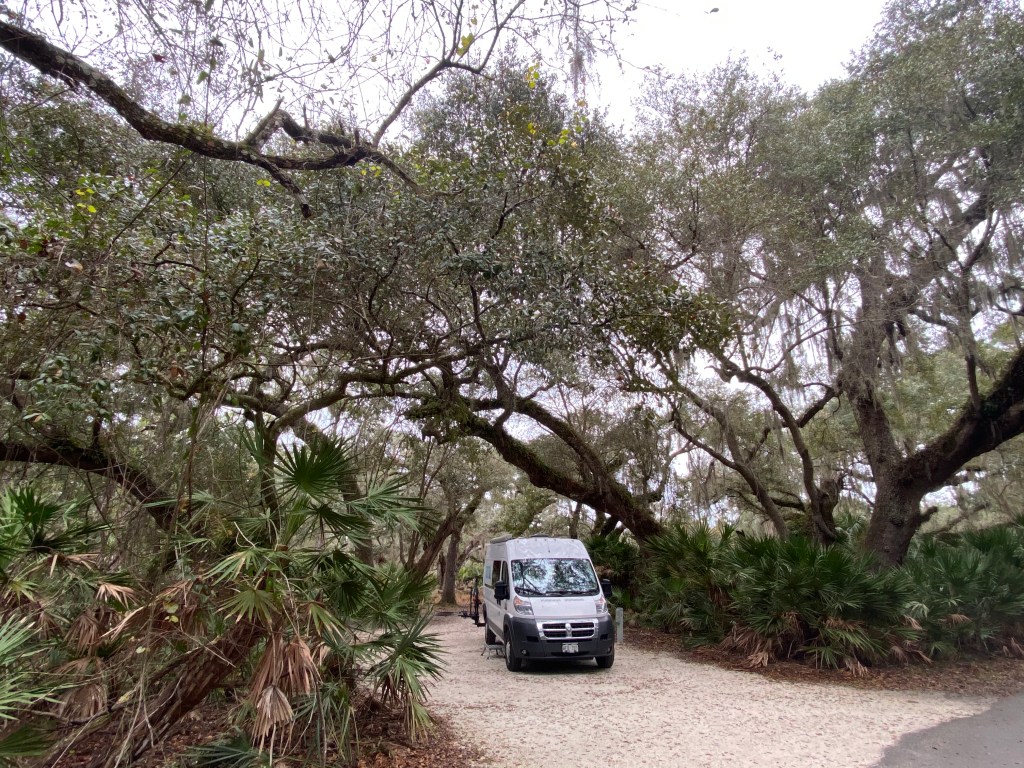
I spent one night at the park as a stop over. I biked the roads and and hiked a few of the shorter trails. I would love to try the Buster Island Paddling Trail. The park is cut in half via the Zipper Canal, which joins Lake Rosalie with Lake Kissimmee. There are also creeks that flow from Lake Rosalie into Tiger Lake and then from Tiger Lake into Lake Kissimmee. These various waterways create a circle around the southern portion of the park. This gives rise to the name Buster Island. The Buster Island Paddling Trails is an 11 mile loop via this circle. It is recommended as an all day experience.
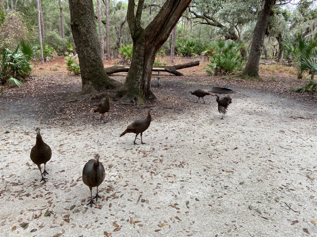
Some pics:
My campsiteWild turkeys visiting campsiteLove the feel of the canopy forest
After leaving the Park, I stopped for a nice paddle on Arbuckle Creek. While researching for my trip, I found information recommending this. There is a put-in-point about 3 miles downstream from a US military base (bombing range). It is a beautiful and peaceful ride upstream and then back. It is a leisurely 3 hour paddle. A person could extend the paddle further downstream.
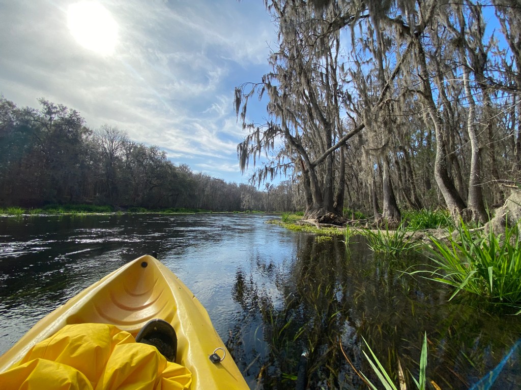
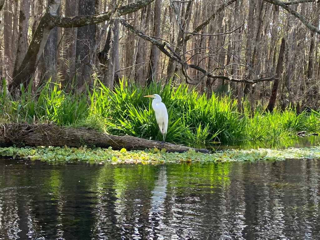
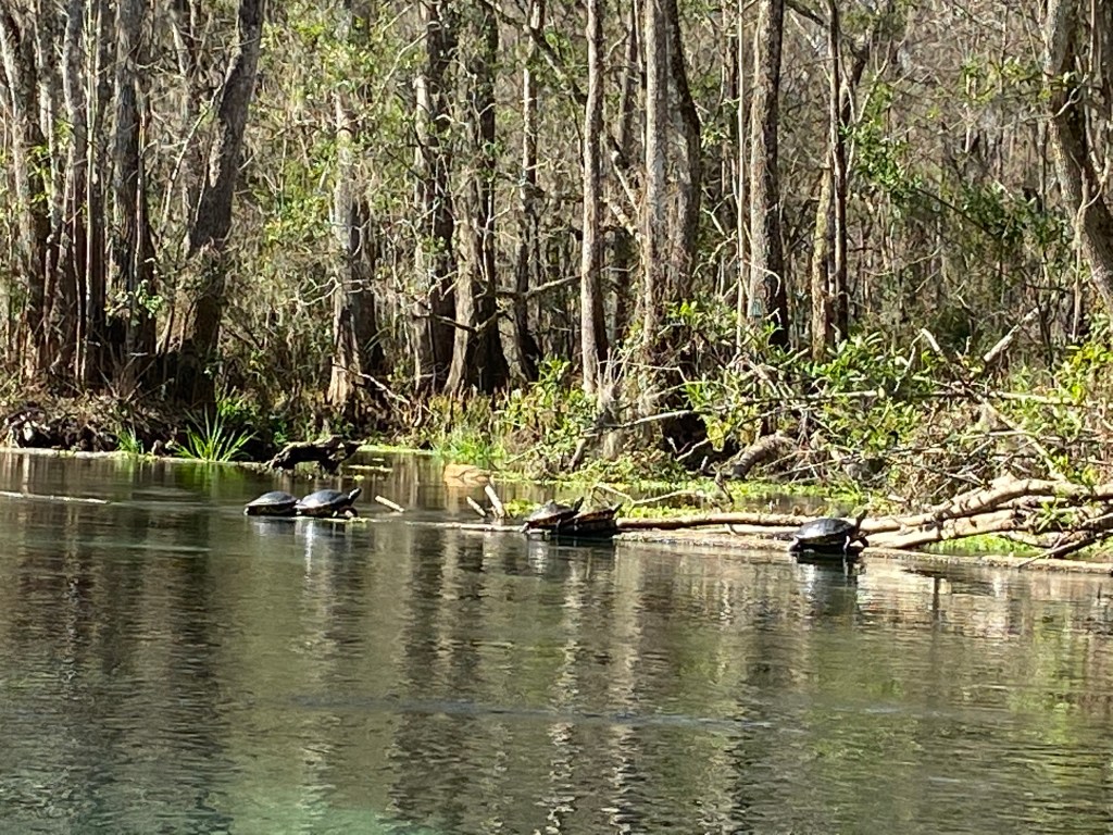
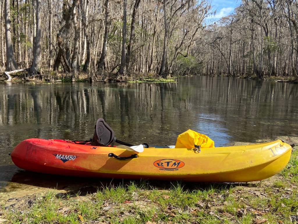
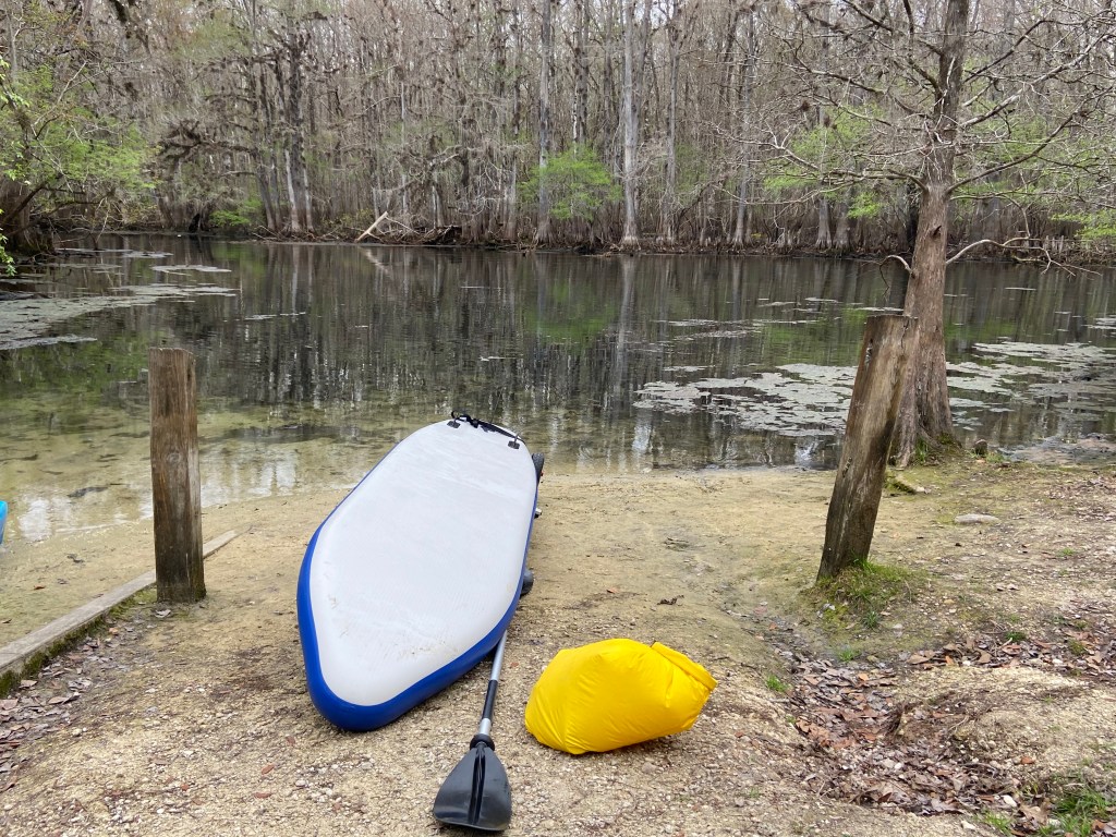
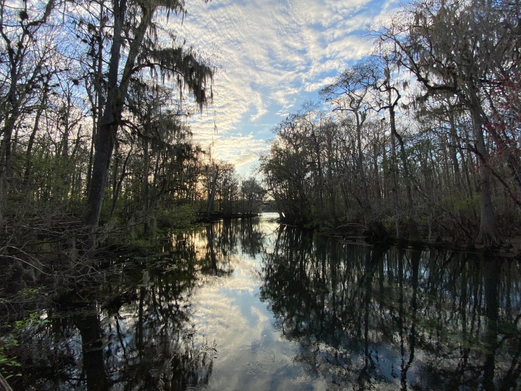
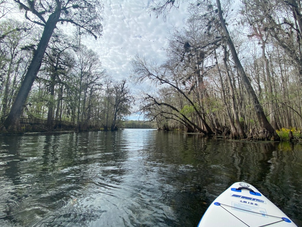
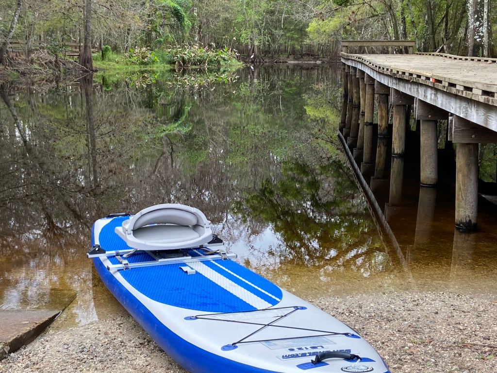
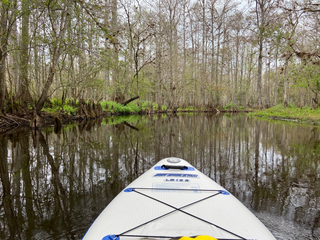
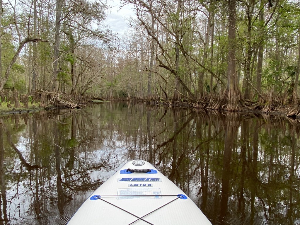
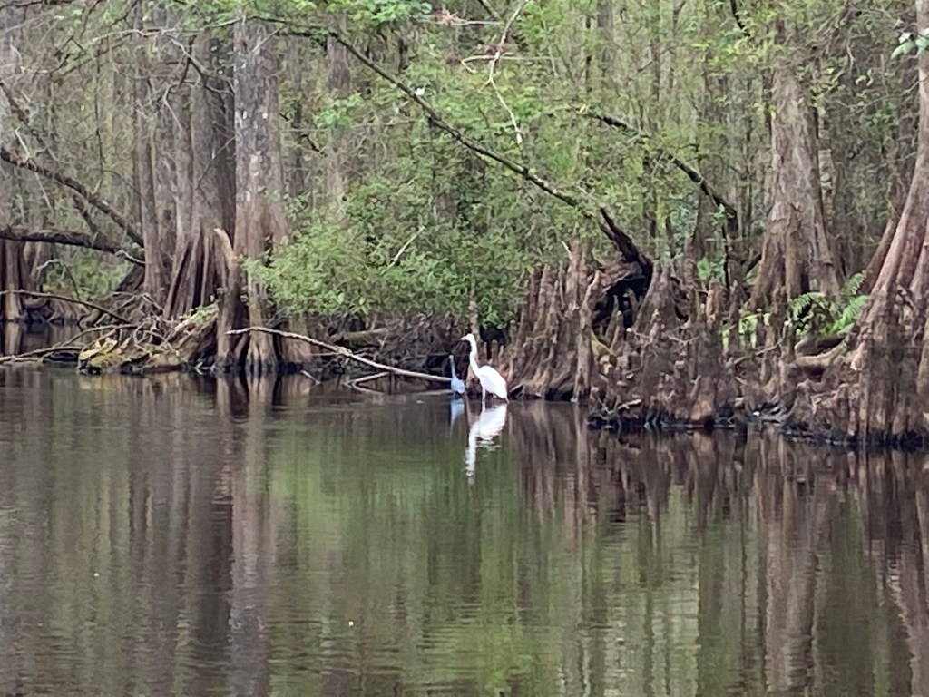
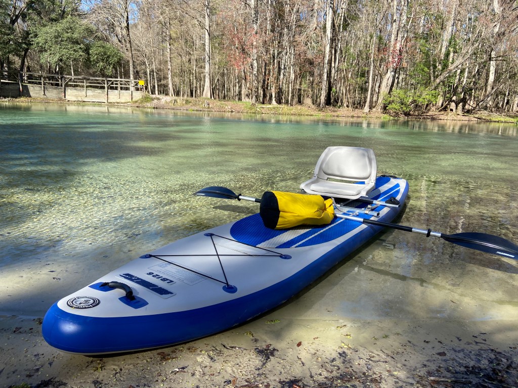
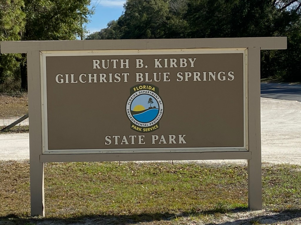
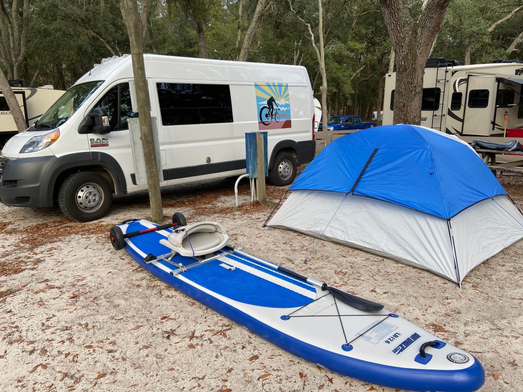
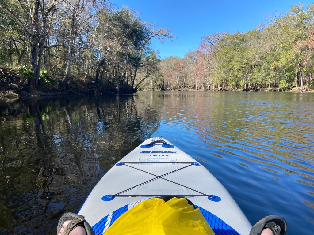
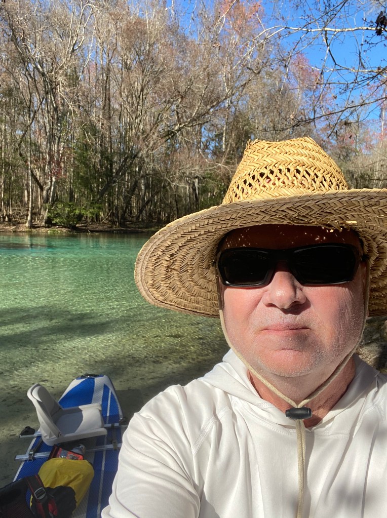
Gilchrist Blue Springs State Park is one of the newest Florida State Parks. Plans are in place for upgrades to the entrance road, campgrounds, etc. The park is located about 20 miles northwest of Gainesville. Paddling, snorkeling and swimming are popular in the park. I spent two days in the park. The first day was spent setting up camp and getting to know the area. The second day was all paddling.
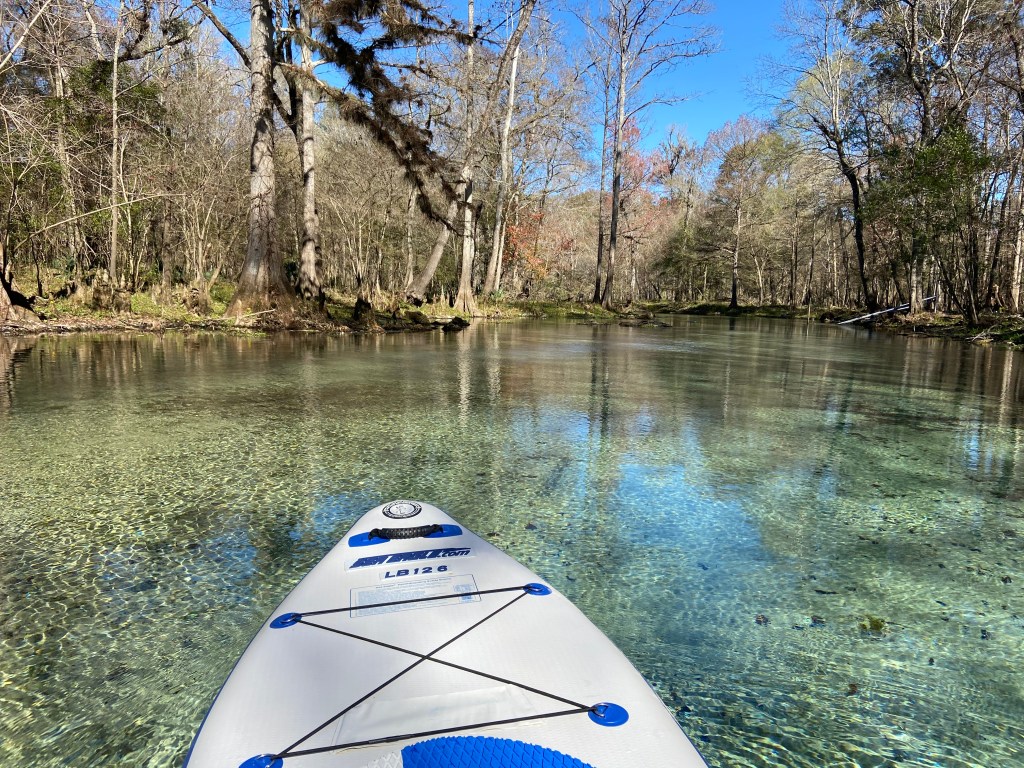
The flow from the spring feeds into the Santa Fe River. I recommend taking a right at the river junction (upstream) and then paddling to your hearts content. The first landmark is Rum Island and further upstream is Poe Springs Park which is a county run facility. This was my turn around point. I talked with other paddlers who started a little further upstream at the Highway 27 bridge and were set up for take out at highway 47. Many entry and exit options exist along the river.
I really enjoyed this park. Some pics:
Spring Flow toward Santa Fe RiverOn the Santa Fe River
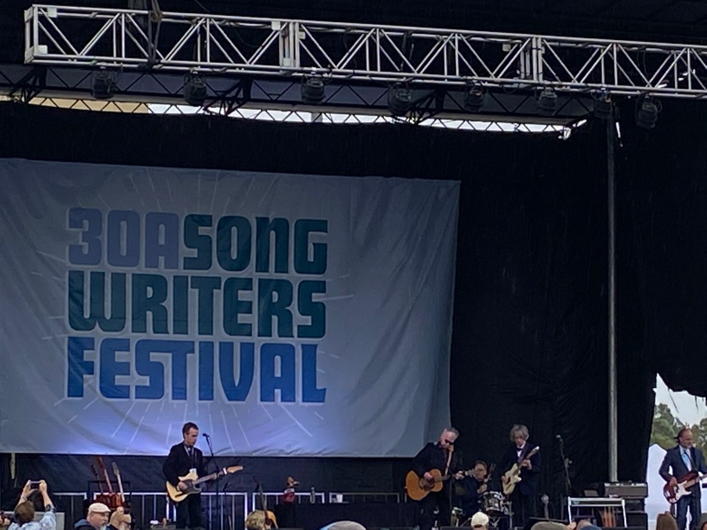
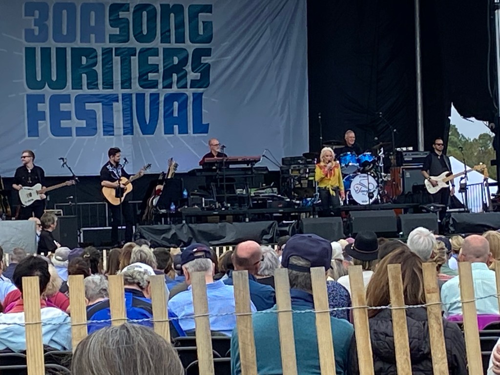
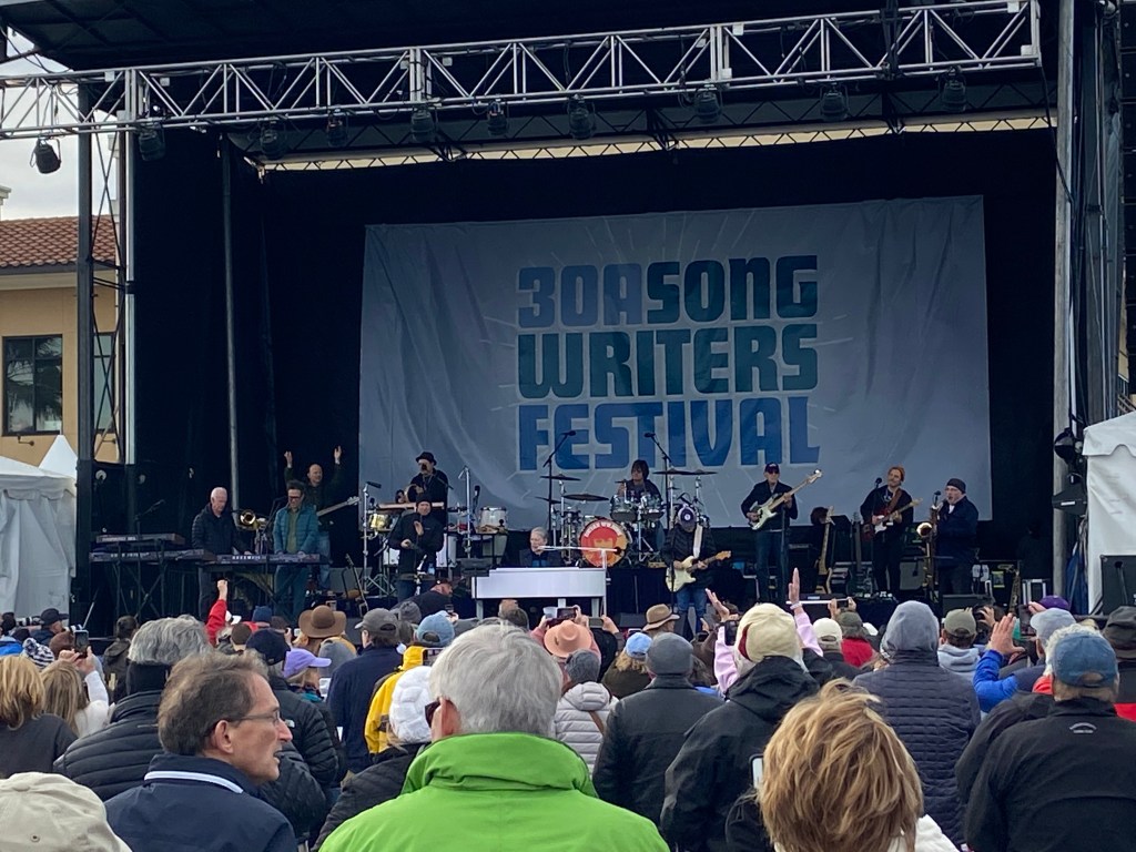
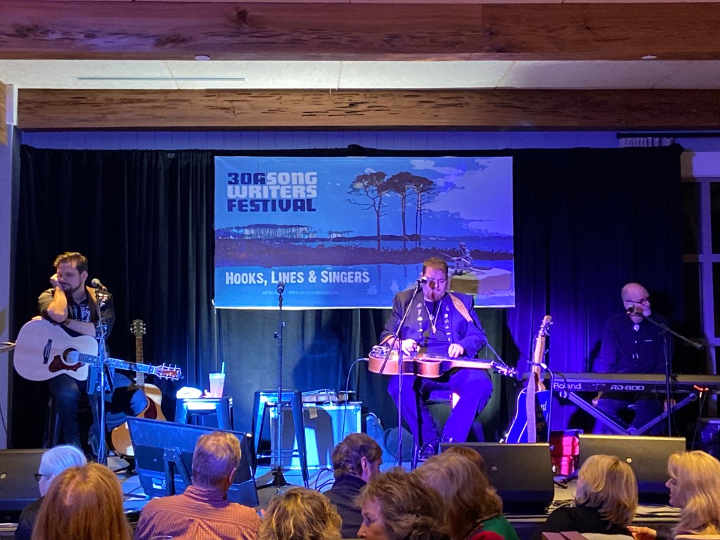
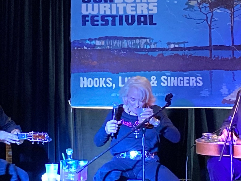
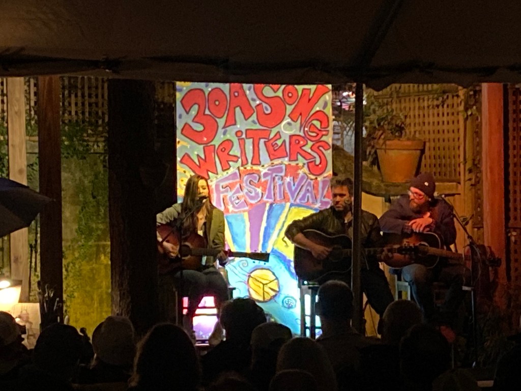
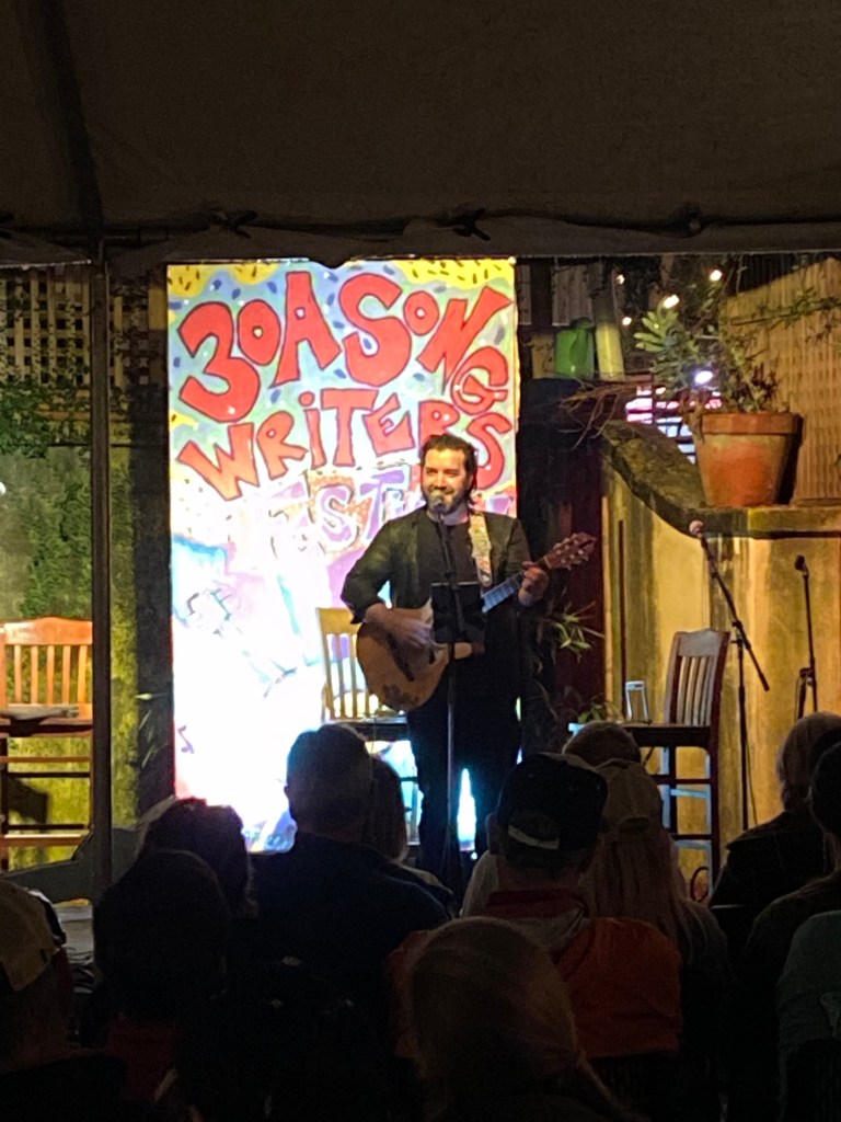
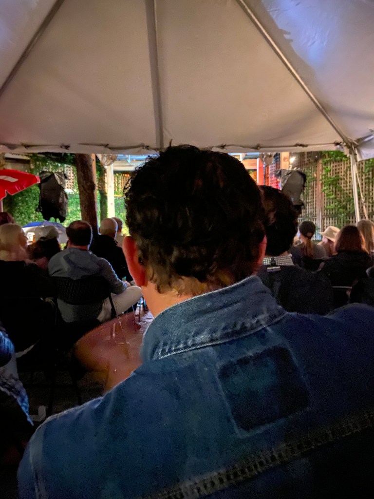
As part of my travels, I like to seek out music festivals / venues. While researching for my 2020 Florida trip, I found the 30A Song Writers Festival. The festival’s driving force is the Cultural Arts Alliance of Walton County, Florida. The festival is named for 30A highway which runs between Santa Rosa Beach and Rosemary Beach in the Florida Panhandle, a really laid back area.
I really enjoyed the music, the musicians, the attendees and the venues. The artists run from well established names/ acts to new comers. In most cases, each musician / group will play at multiple venues over the course of the festival. At some venues, the musicians will play individually at other venues they are paired with other musicians. In many cases, the organizers pair musicians who have not sung together before. It is fun to hear their personal stories, the sharing of songs and the improvised accompaniment and harmonies. Pretty cool vibes.
The main Festival takes place on Friday, Saturday and Sunday. However, music starts on Thursday night and there is a checkout party on Monday. The 2020 Festival took place on January 17 – 20. With a January timeframe, weather becomes an unknown factor.
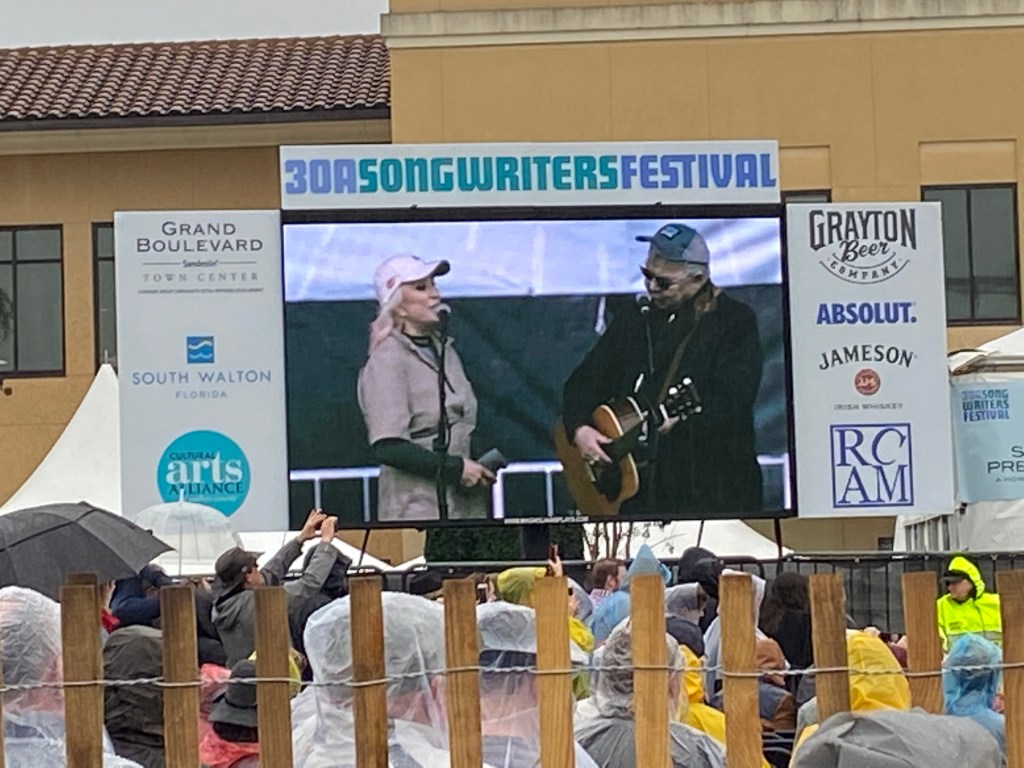
The venues are broken into a large venue called the Grand Boulevard and 29 smaller venues. Grand Boulevard is a large open field and able to hold all ticket holders at once (around 15,000). There is a large stage and a couple of viewing screens off to the sides. Grand Boulevard action takes place on Saturday and Sunday and includes some of the “bigger name” artist / groups.
The smaller venues include coffee shops, pizza parlors, brewery’s, bars, restaurants, resorts, and so on. They may hold from fifty to hundreds of people.
The Festival draws an older crowd. Really mellow feel. Many of the attendees live in the area and / or are snow birds from the US and Canada.
There were over 200 artists / bands playing during the festival. With so many artists and venues, it is a good idea to set a plan for the weekend. When you first arrive to the area, you can pickup your festival package which includes your wristband; booklet with musician / venue information; and schedule showing daily venues, musicians and times. The schedule allows you to start your planning.
I recommend factoring favorite musicians, venue size / distances and weather into your planning. On Saturday and Sunday, the festival schedule includes shows at the Grand Boulevard venue. These shows take place from noon until around 5 pm. Very limited activity occurs at other venues during this time. The assumption is that everyone will want to see the “big name” acts. After 5:00 pm, shows begin at all other venues and go until late in the night.
On Friday, shows start on a limited basis around noon and then kick into full swing about 4:00 pm at the smaller venues and go until late in the night. On Monday, you can catch more music at a limited number of venues from around 9:30 a.m. to 5:00 pm. While Thursday night is not part of the official Festival, there is plenty of music to see / hear.
For the Grand Boulevard venue, you will want to arrive about an hour early and get in line if you want seats close to the stage. You bring your own lawn chair and cooler.
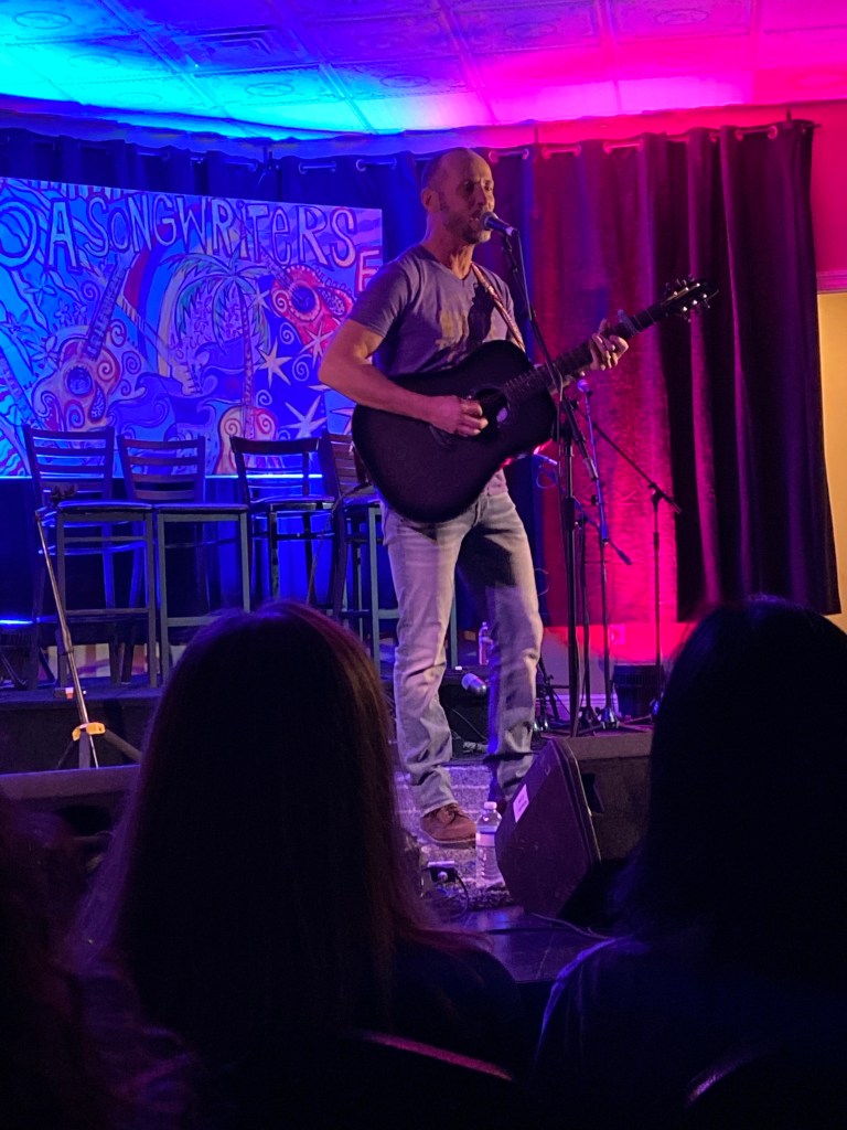
For the smaller venues, I recommend finding one or two venues that have artists that you definitely want to hear and then staying there for the duration of the day. This way you can get seating and limit travel. The smaller venues are first come first serve. You will not hear any bad music so sit back and enjoy and you may leave having a new favorite musician.
If weather becomes a factor, there is not much you can do for the Grand Boulevard shows except bring an umbrella an warm clothes. However, for the smaller venues, you can try to pick those with indoor seating.
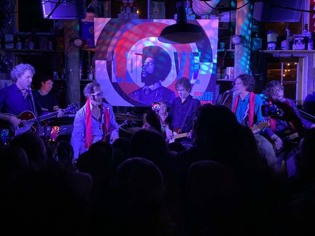
The Grand Boulevard Lineup for Saturday was Tanya Tucker, Indigo Girls and John Prine. For Sunday, it was Herman’s Hermits (Peter Noone), Don McLean and Brian Wilson.
Tanya TuckerTanya came on Stage to sing with JohnBrian Wilson – with 12 band members (?)
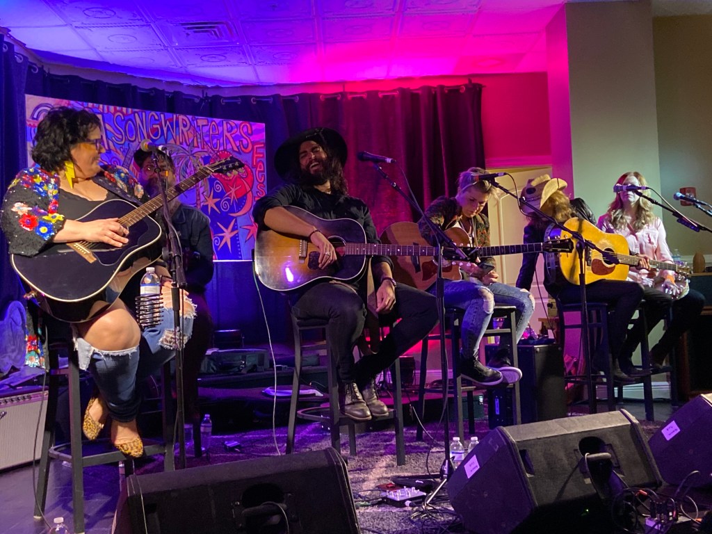
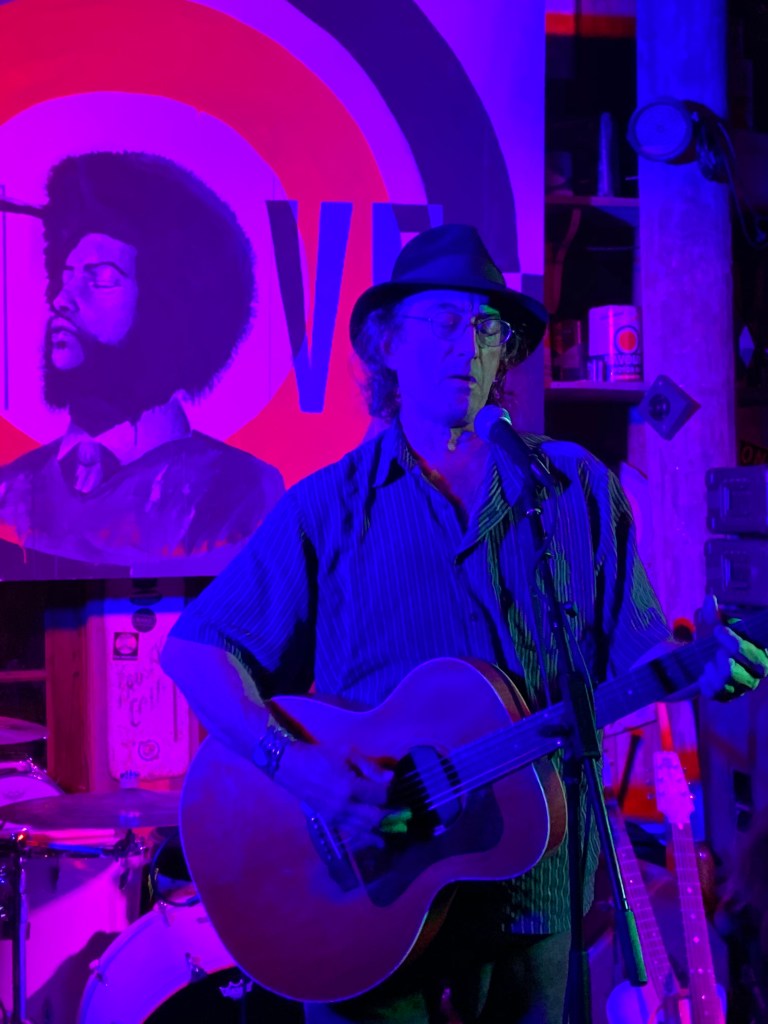
At the smaller venues, I saw so much great music. Some of my favorites were Jeff Black, Birds of Chicago, Pat Byrne, Emily Earle, Sierra Hull, Jennifer Knapp, James McMurtry, Dan Rodriguez, The Reverend Shawn Amos and the Brotherhood, Amy Ray, Bob Schneider, Paul Thorn, and Ross Newell.
Elvis is everywhere!Tanya Tucker’s Band waiting for her, at a smaller venue. I think they were almost asleep.Tanya made it, and someone from audience bought her tequila shots! Here we go!Emily Earle, Pat McGee, and Ross NewellHad a great view until ……. Oh well
I camped at Topsail Hill Preserve State Park for the festival. It sits pretty much in the middle between the large venue and smaller venues. Nice place. I have stayed here on past travels and have written more on the park in previous blogs.
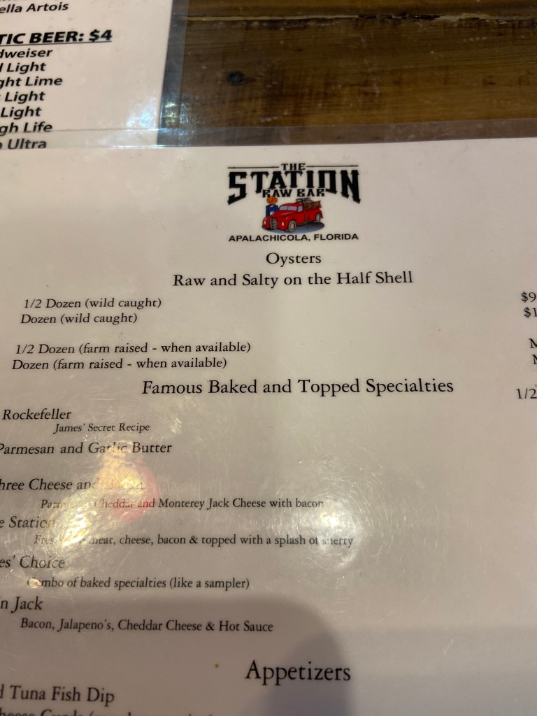
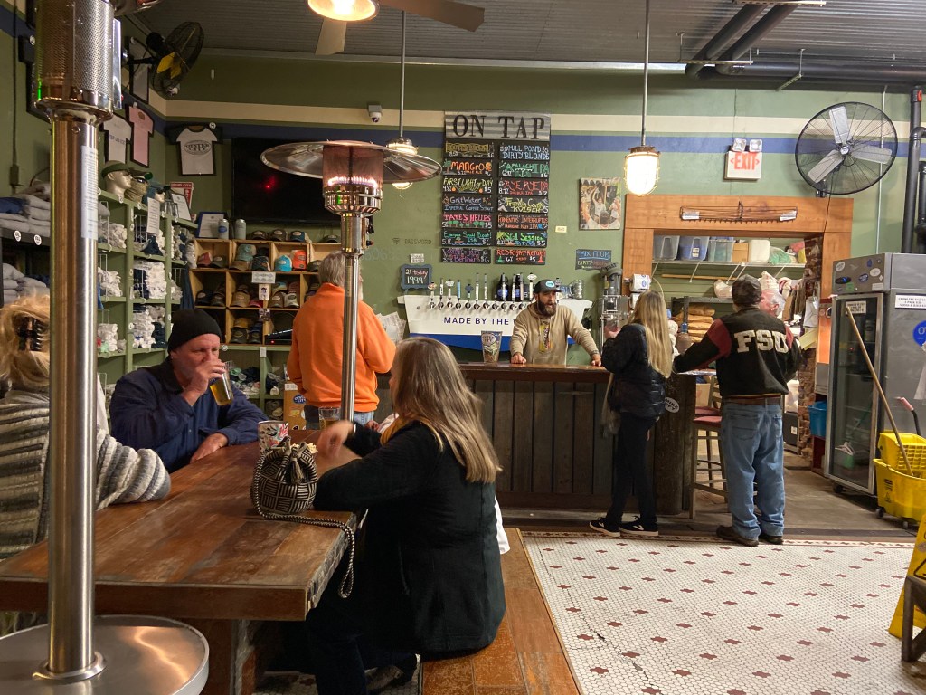
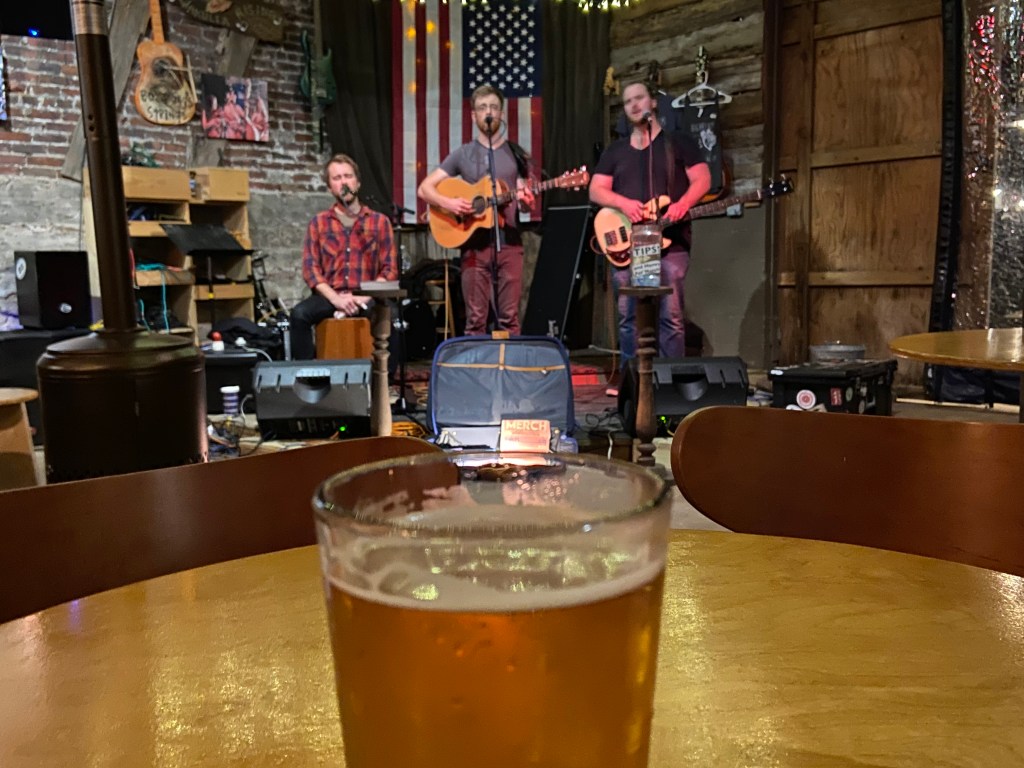
After leaving the festival, I stopped in Apalachicola for the night. This is a standard stop on my Florida travels. I camp for the night on main street and then seek out good food, good beer and good music. On this particular night, I met some locals and did a pub crawl. Back to the van mighty late.
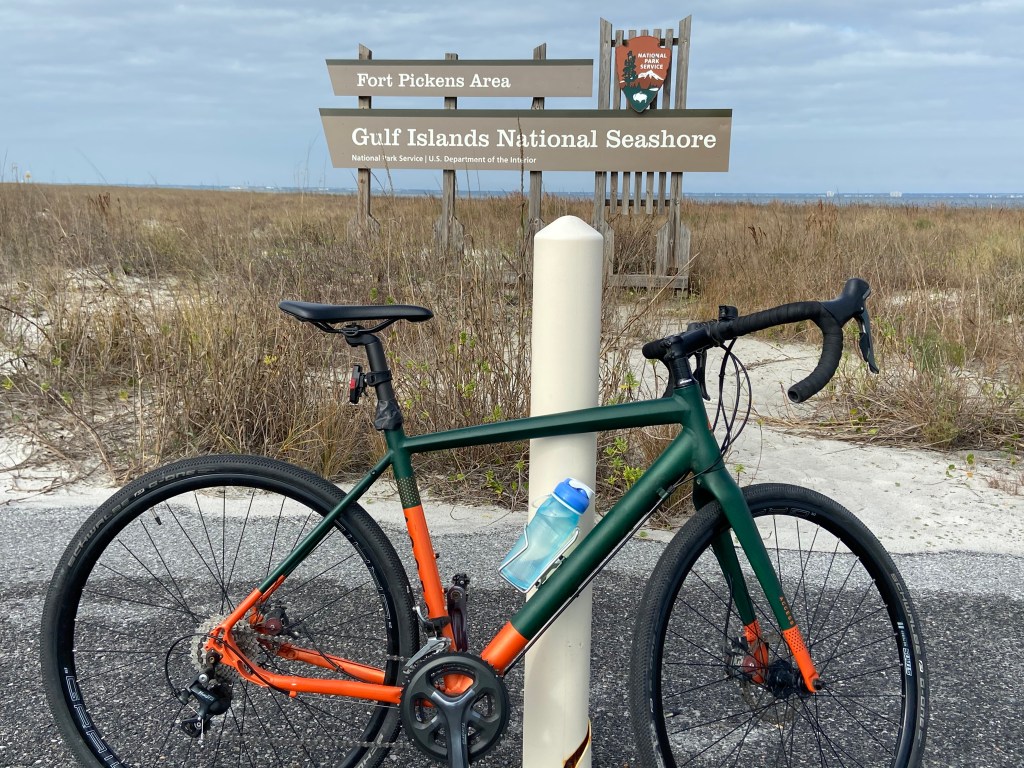
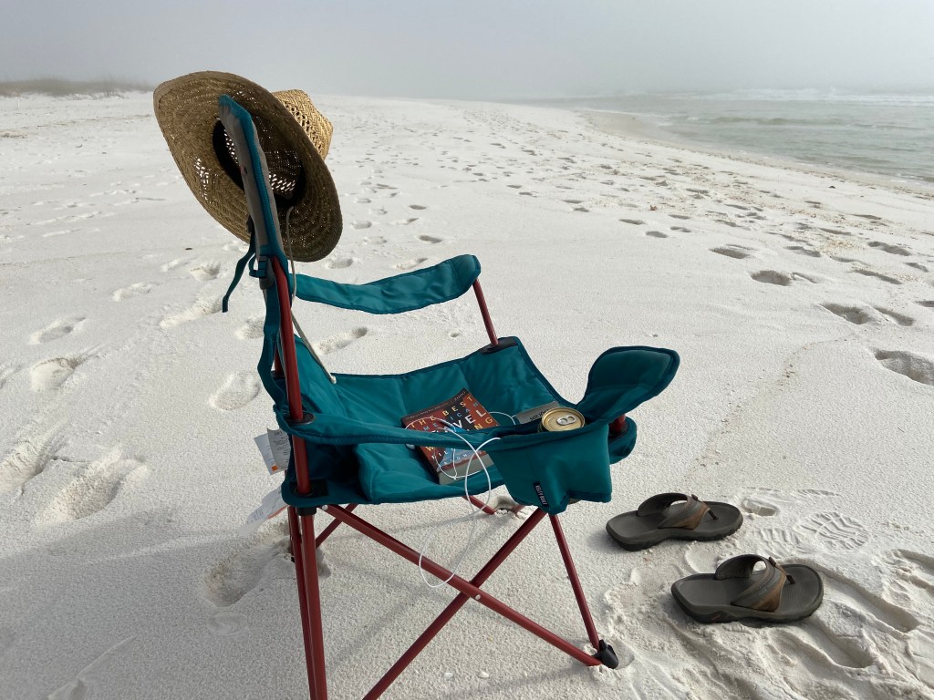
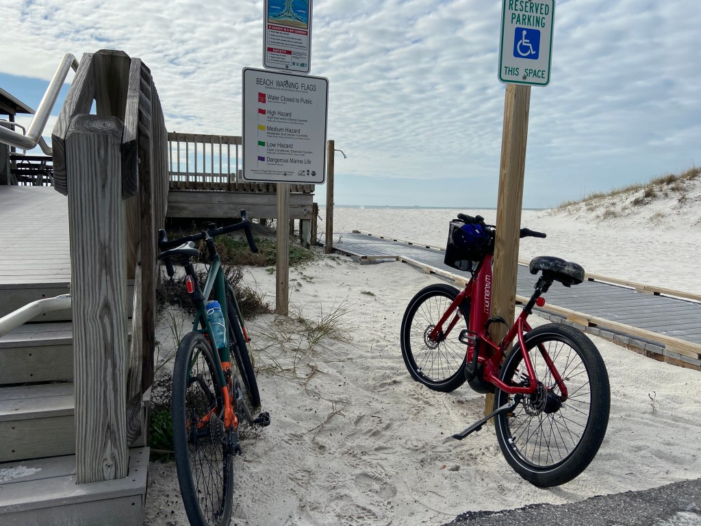
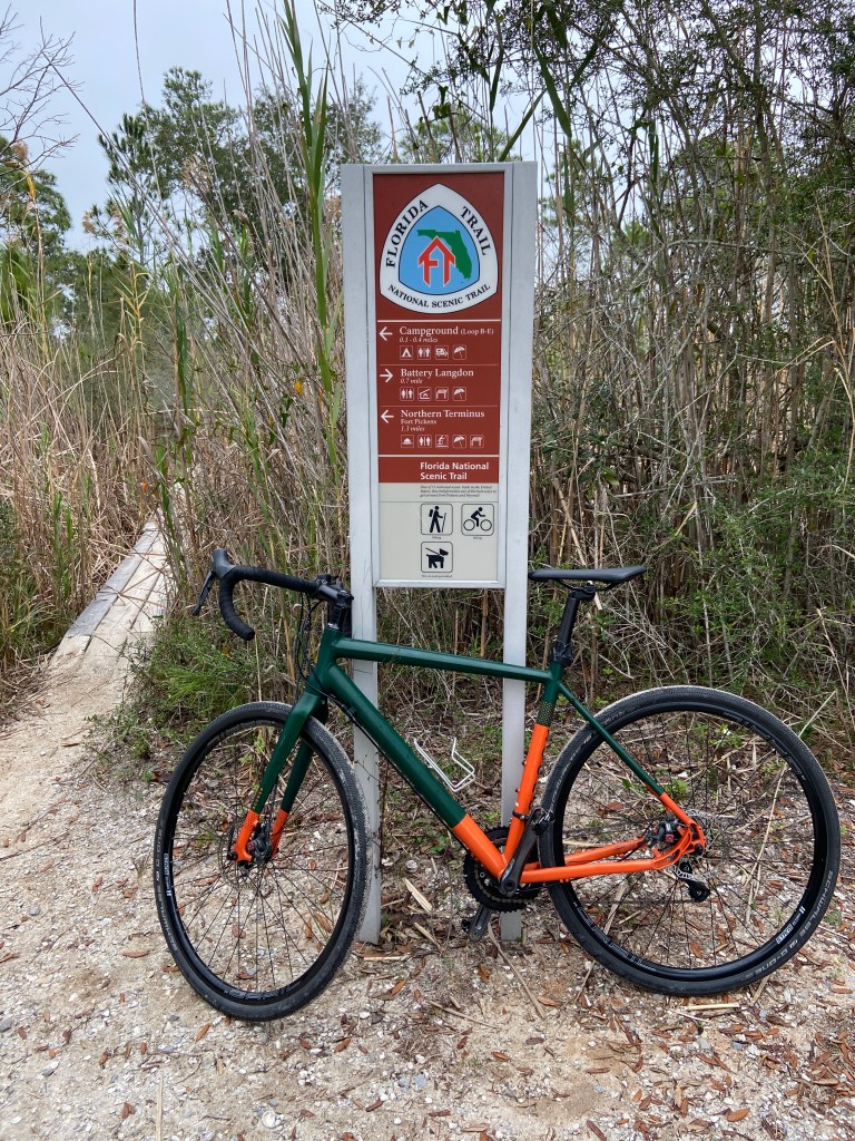
I really enjoyed the drive (Perdido Blvd., Perdido Key Dr., and Gulf Beach Hwy) from Gulf State Park to Fort Pickens, mainly along the coast of the Gulf of Mexico. On my Florida travels, Fort Pickens is a standard stop.
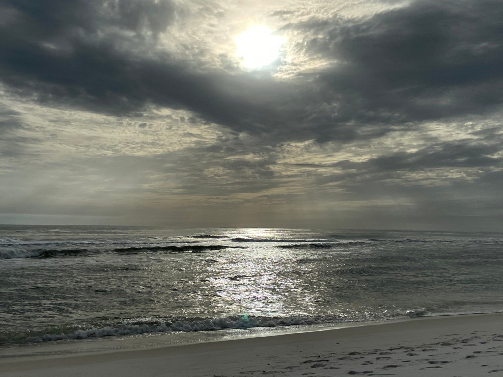
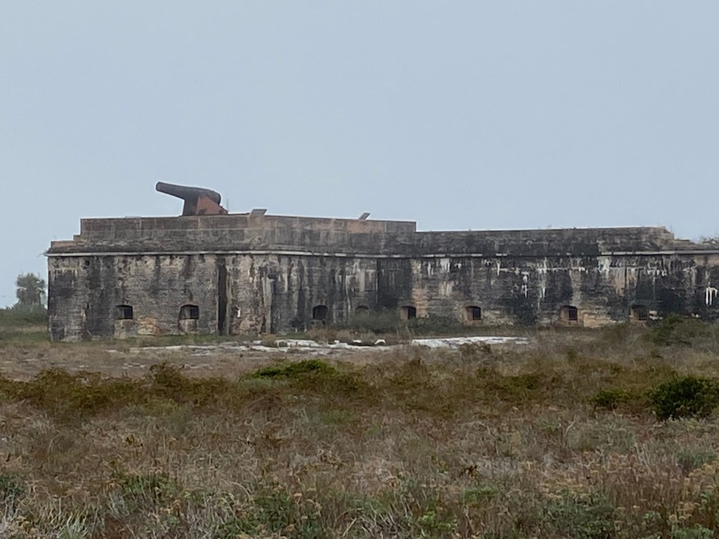
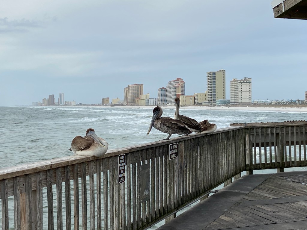
Fort Pickens is part of the Gulf Islands National Seashore Complex. After the War of 1812, Pensacola Bay was chosen as a site for a Navy yard, a depot, and a timber reserve. A number of forts were built to help protect the bay. Fort Pickens is one of those forts. Fort Pickens has two campgrounds both of which provide easy access for hiking, biking and beach activities. Pensacola Beach is near by and I usually ride into town for something to eat and drink. A person can easily spend half a day exploring the remains of the fort. A visitor center within the fort area offers free tours and exhibits. The beach area is awesome!!!!! Highly recommended.
It was a long day after touring Vicksburg National Military Park and then driving to Gulf State Park. The sun had just set when I arrived and had to stop for directions to the campground after driving past the entrance twice. I spent two nights at the park and enjoyed the area. The park sits on a kind of peninsula that juts out between Mobile, AL and Pensacola, FL.
The campground sits across the Beach Blvd from the Gulf waters and encompasses 6,500 acres (huge). Within the park are three fresh water lakes and miles of trails. The park offers all needed amenities. It is and easy and safe walk to the beach area, as there are Pedestrian Bridges that cross Beach Blvd.
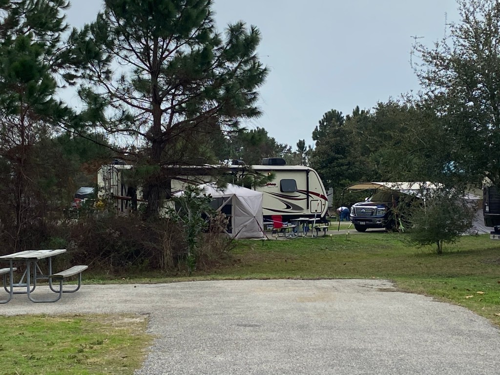
It is interesting that the park has no limitations on length of stay. There is also a RV storage area which many people use.
After a good night sleep, I spent the day exploring the area on bicycle. I had lunch at the Woodside Restaurant which is a great stop within the park. A person could easily spend a couple weeks here. It was early January so not much beach traffic during my visit. I imagine that when the weather warms this area is a hotbed of activity. Pretty mellow during my visit.
Some pics:
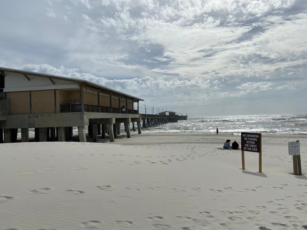
Fishing and Education Pier:
As mentioned earlier, campers can stay for an unlimited amount of time. This picture highlights the setup of a long term camper. I love the garage and attached shed set up:
In my elementary school years, I was fascinated with the history of the civil war. I was too young at the time to understand the politics behind the war and my focus was on the battlefield leaders and strategies. I would pour through all available library books on the major civil war battles. One of those battles was the battle for Vicksburg.
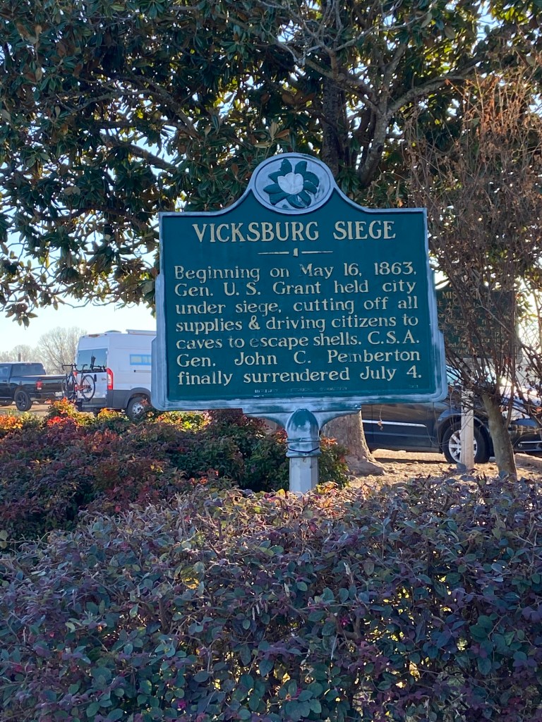
Vicksburg is a city in state of Mississippi that overlooks a bend in the Mississippi River. President Jefferson Davis described the city as ” the nail head the holds the South’s two halves together”. Control of the river provided a lifeline for the South. As such, it was well fortified with artillery batteries guarding the river and a series of forts protecting all land approaches.
The Union knew that complete control of the Mississippi River was key to ending the war. In May of 1863, the battle for Vicksburg started. Three months later, Vicksburg surrendered.
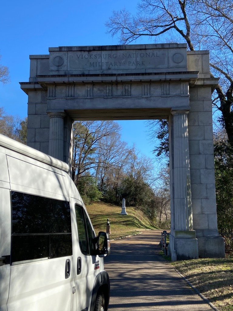
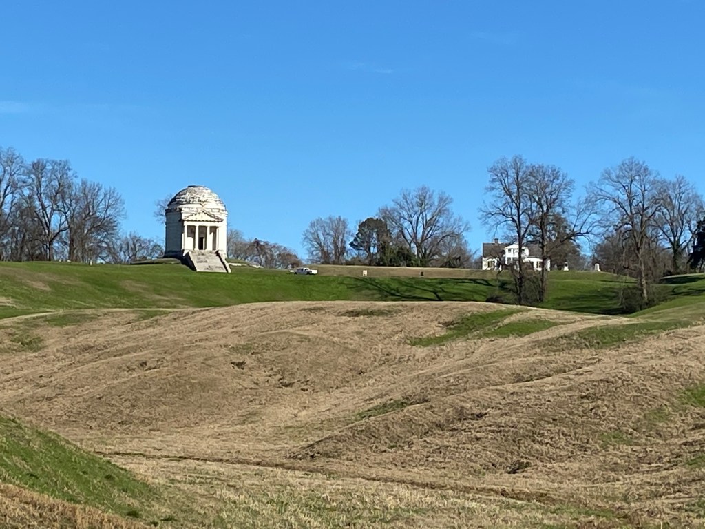
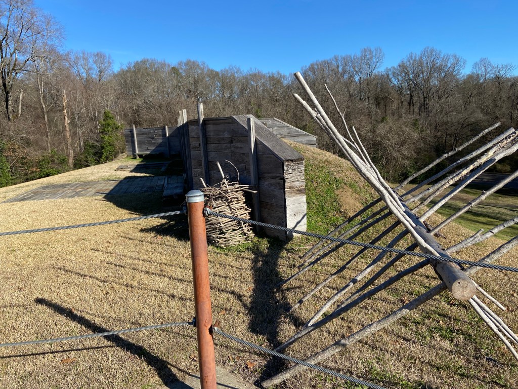
The Park was established in 1899 and included the entire extent of the siege and defense lines. As the city and associated infrastructure grew, the Park reduced in size and four Park sites are now detached from the main area. A Visitor Center sits at the main entrance to the main Park and is well worth the stop. A 16 mile road loops through the Park with parking areas and trails available for observing various sites. I spent a half a day at the park but one could easily spend a whole day.
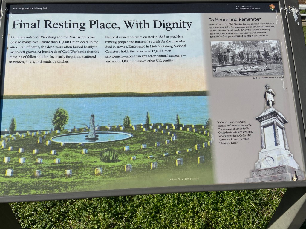
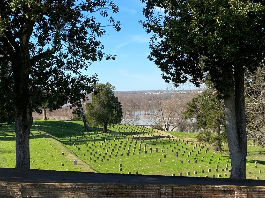
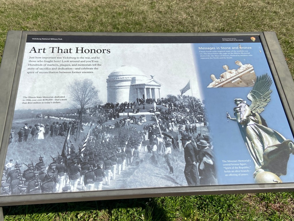
The area of the Park that impacted me the most was the National Cemetery. If a walk through this area of the park does not heavily weigh on you, I dare say you are not human.
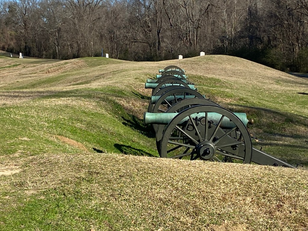
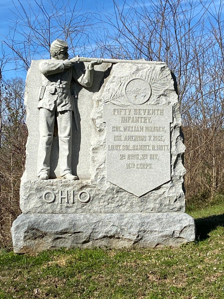
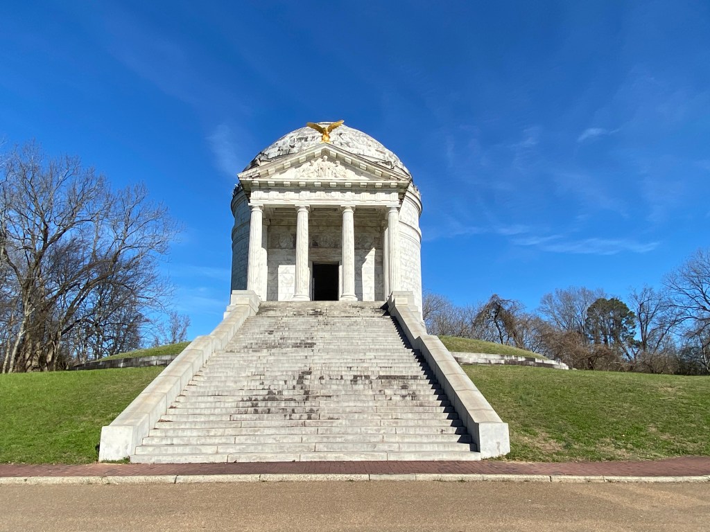
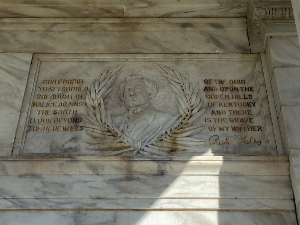
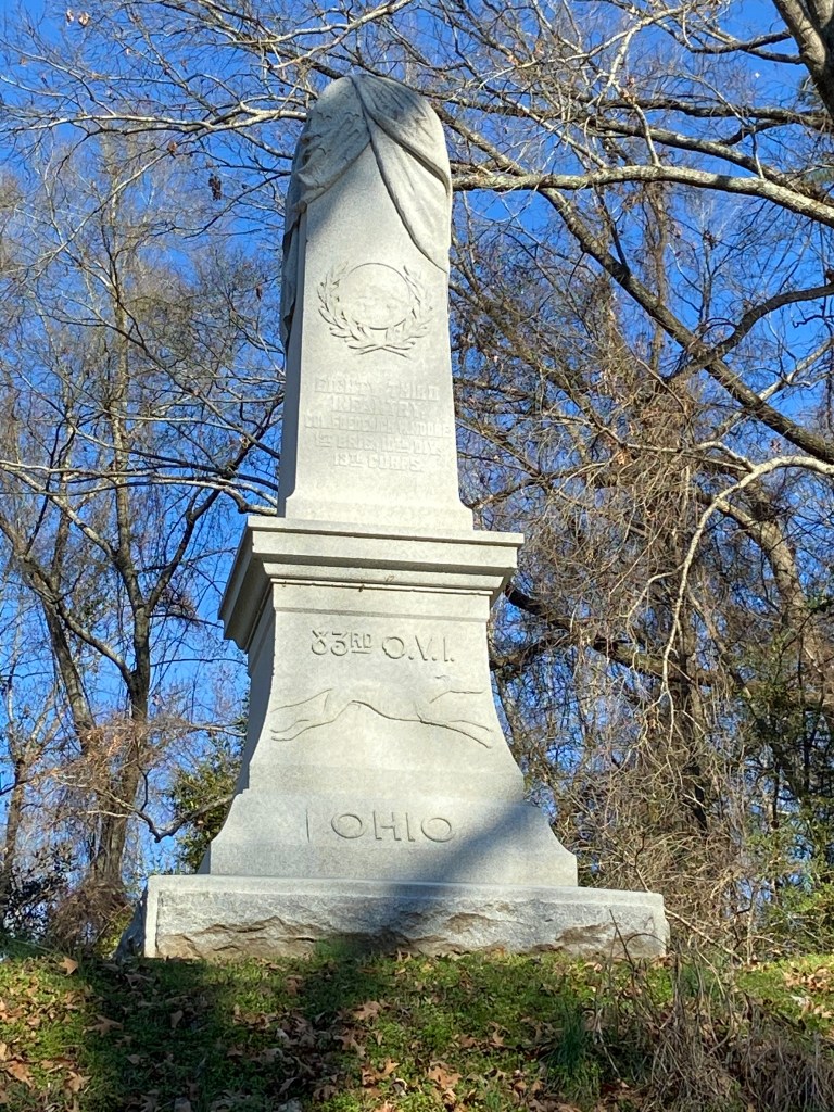
As I toured the battlefield area and the associated monuments (which highlight / memorialize battles / soldiers), one of my takeaway’s was that there were very few monuments focused on the Southern perspective. I later read that when the Park was established 30 years after the battle, States were allowed to establish monuments highlighting the involvement of their soldiers. However, the Southern states did not have / or had very limited monetary resources for such.
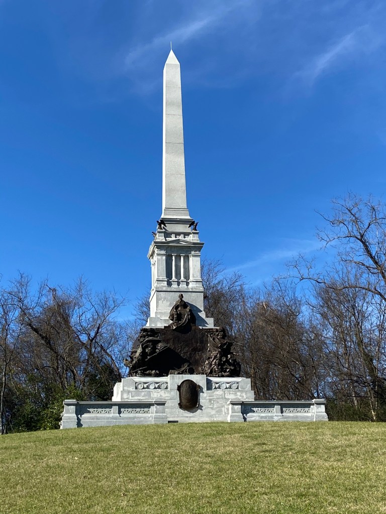
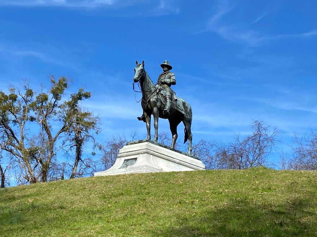
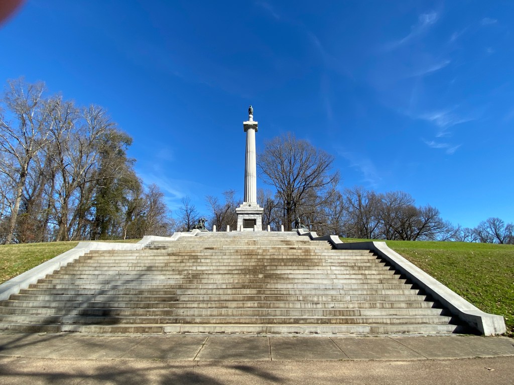
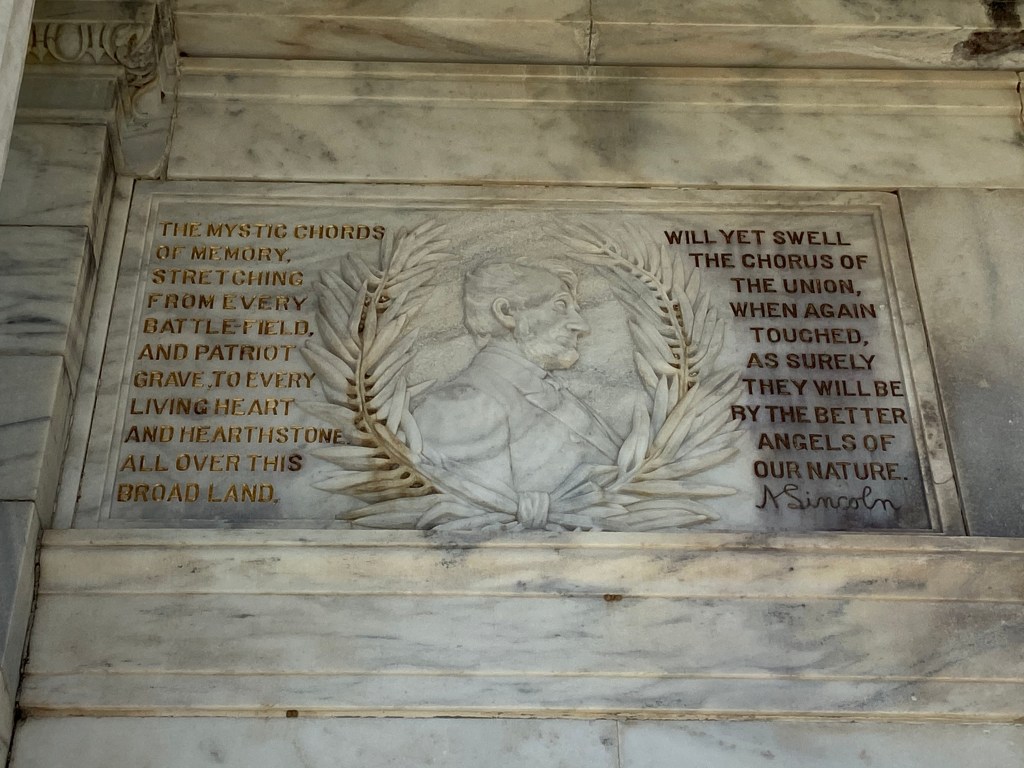
Some monument / battle field pics:
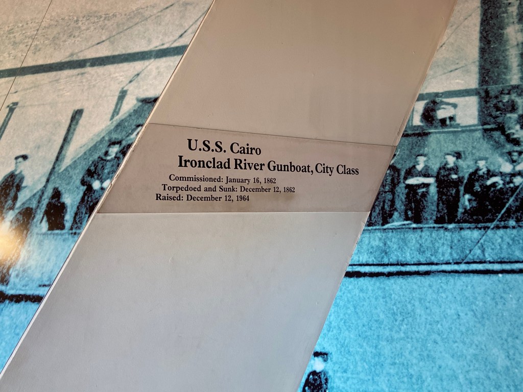
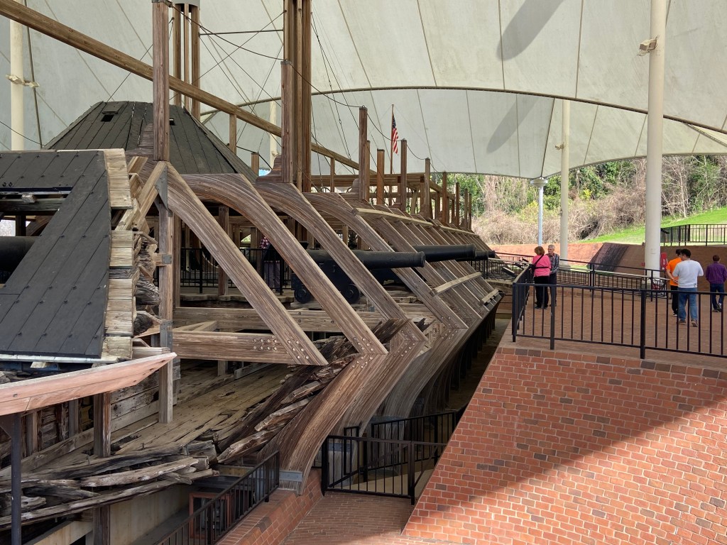
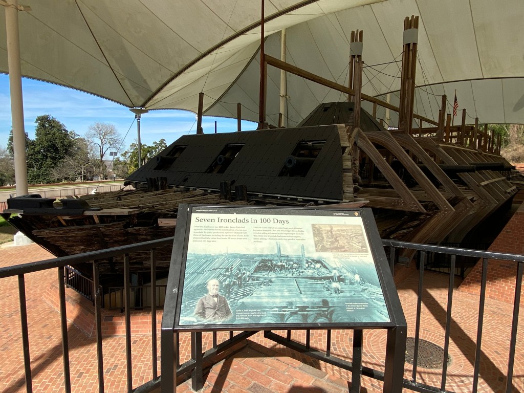
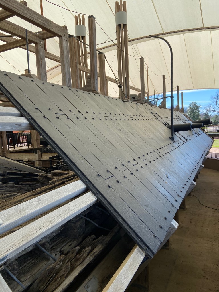
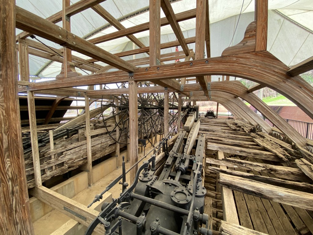
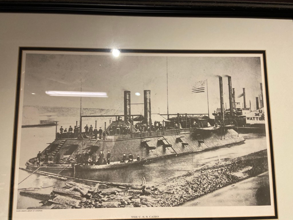
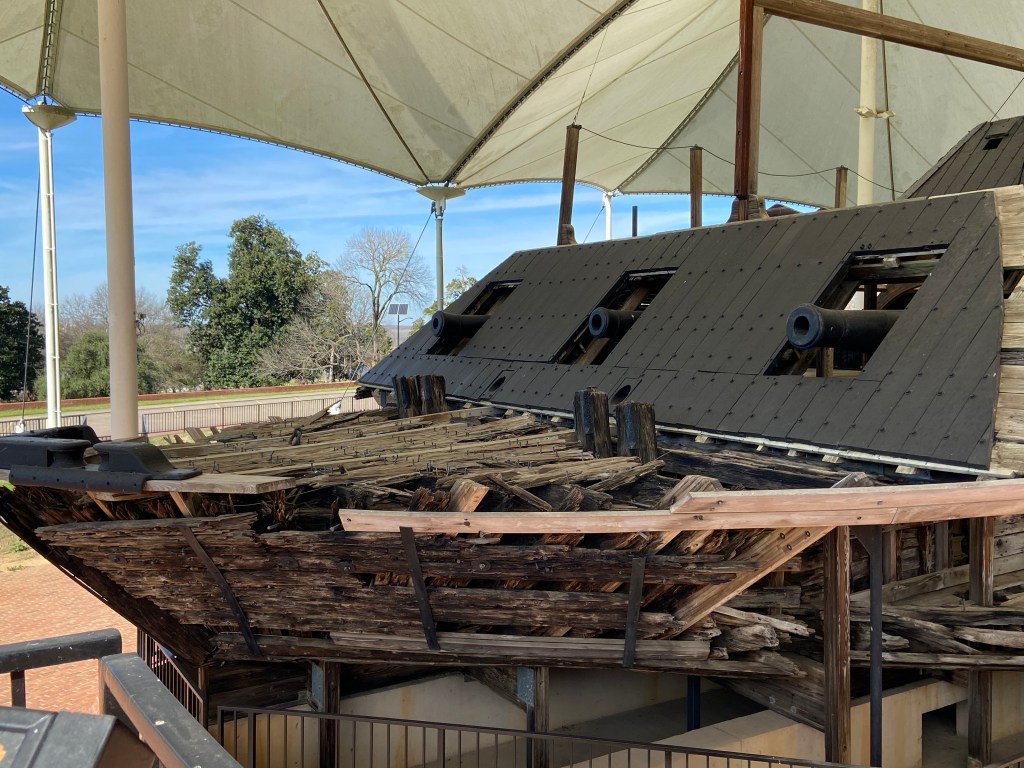
An extremely interesting exhibit within the main Park boundaries is the gunboat USS Cairo. The USS Cairo was one of America’s first ironclad warships. It was sunk in 1862 by an electrically detonated torpedo / mine while traveling on the Yazoo river north of Vicksburg. In 1956, it was discovered . Silt, sand and mud had encapsulated the ship and help preserve it in fairly good condition. The boat was salvaged in the 1960’s and set up for exhibit within the Park as the USS Cairo Museum. Pretty cool set up.
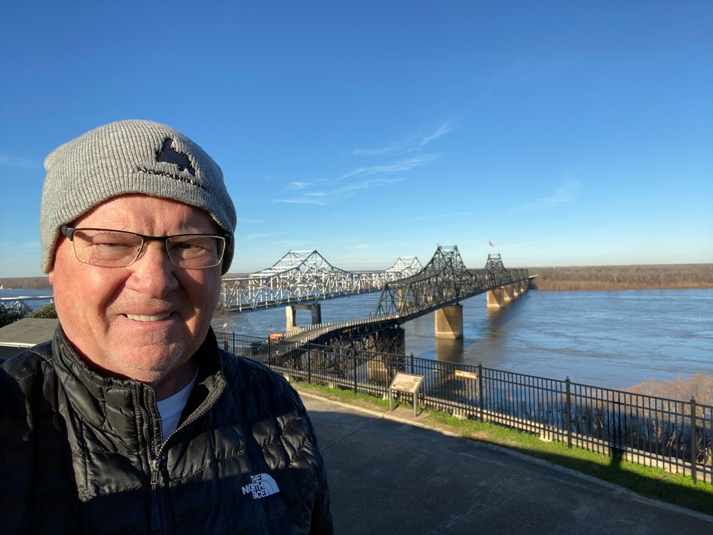
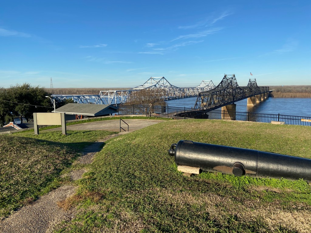
When crossing the river from Louisiana, there are signs for the Vicksburg Visitor Center (different than the Military Park visitor center). It is worth a stop for information and a view over the river. It is also next to one of the detached Military Park areas.
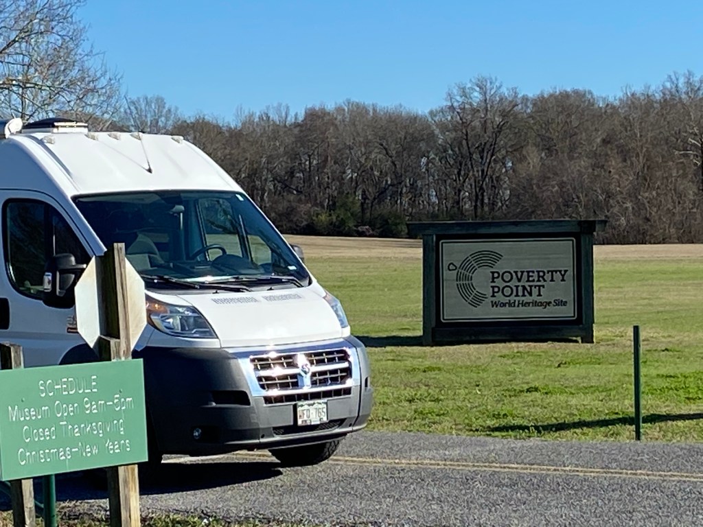
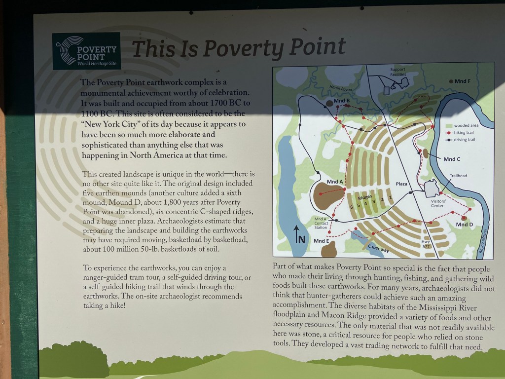
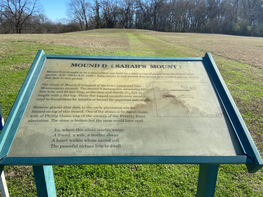
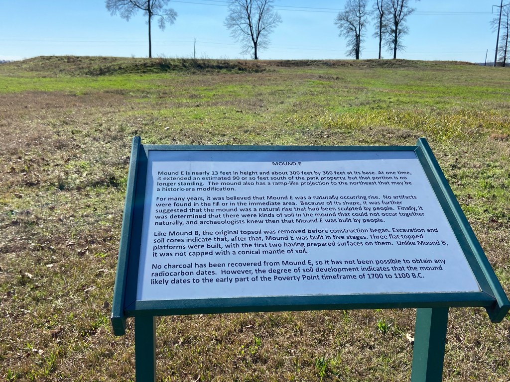
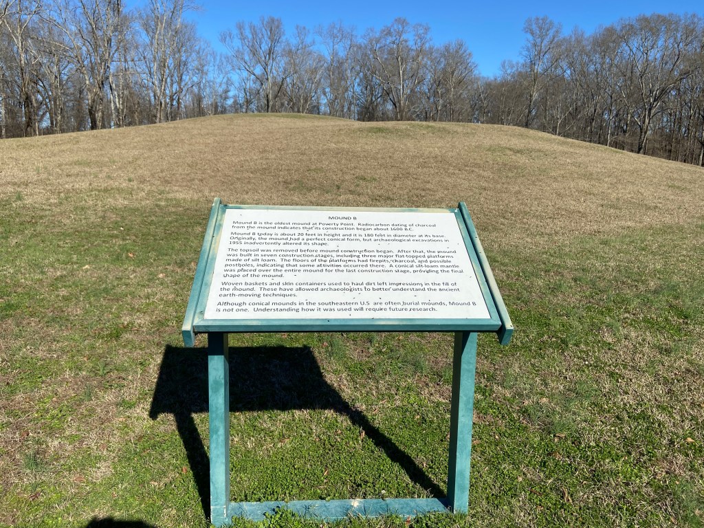
Poverty Point is a UNESCO World Heritage Site located in North East Louisiana. Around 1500 B.C., it was the commercial and governmental center of its day. The people were a sophisticated group who built a complex array of earthen mounds and ridges overlooking the Mississippi River flood plain. Pretty impressive.
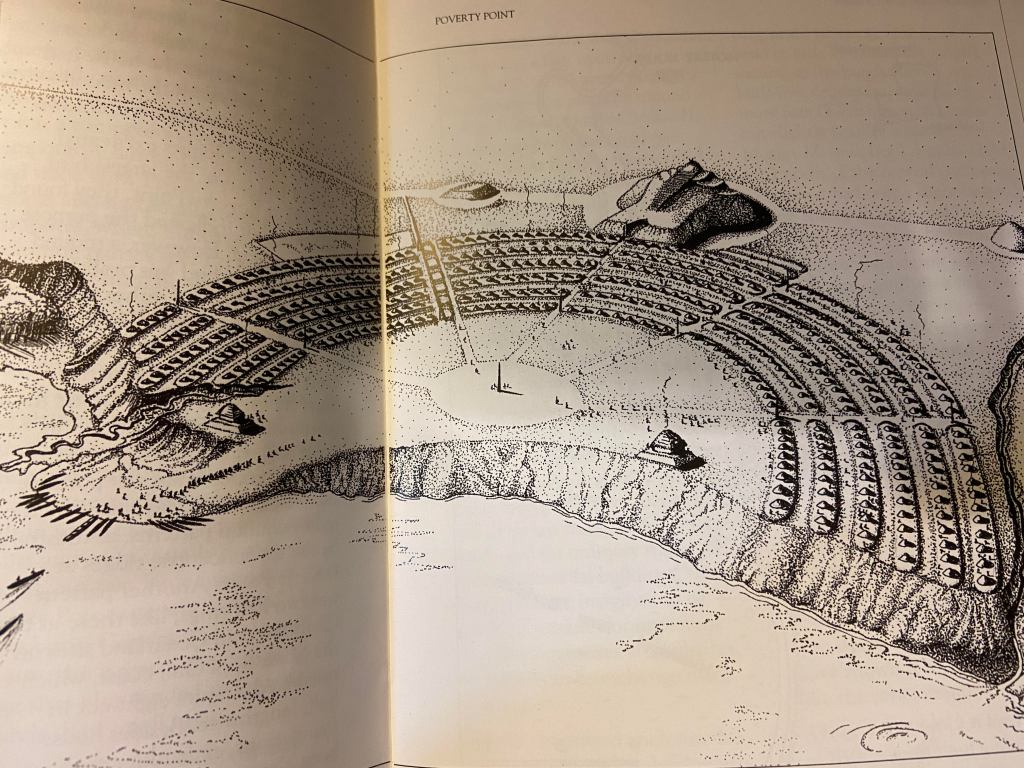
The below photo of an artists reconstruction will help visualize the complex:
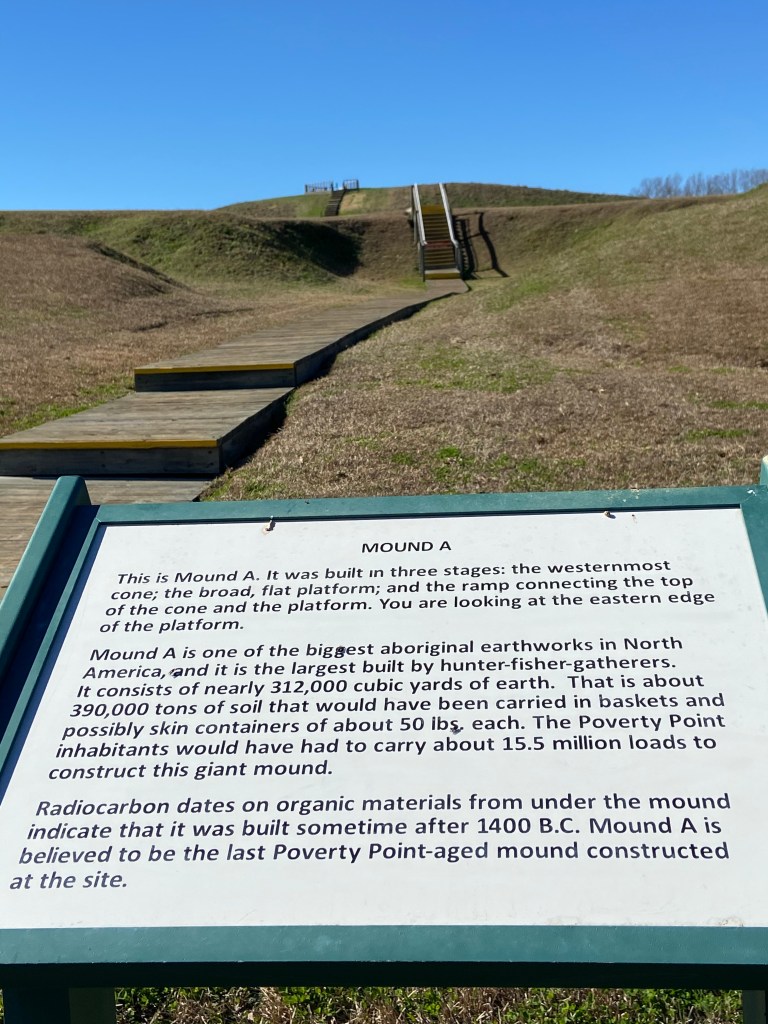
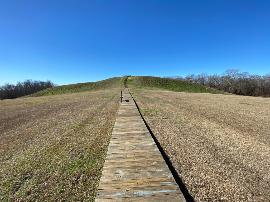
The layout shows a master plan was in place. Six concentric rings which now stand 4 to 6 feet high (thought to originally be 10 feet high before erosion) are separated by ditches. The ends of the outermost rings are about 3/4 miles apart. A plaza sat in the center of the rings, covering about 37 acres. Various mounds sit inside and outside the rings. The leading theory is that the largest mound (called mound A) represents a flying bird. The mound is more than 70 feet high and 640 feet along the wings and 710 feet from head to tail. Imagine how much dirt was moved for such a creation.
It is thought that “homes” were built on the ridges to prevent flooding / standing water and that upwards to a thousand people lived in the complex.
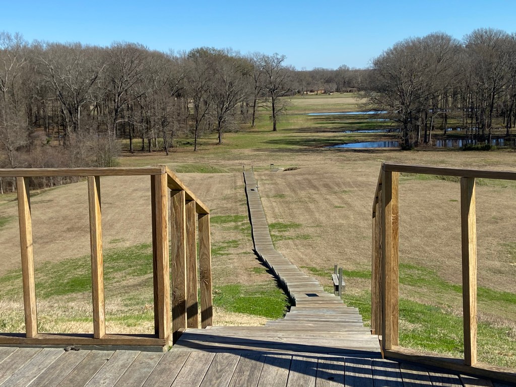
A visitor center has displays and artifacts. During most of the year, guided walking tours are available. Pamphlets are available for self guided tours. I would recommend a half day to take in all the sites.
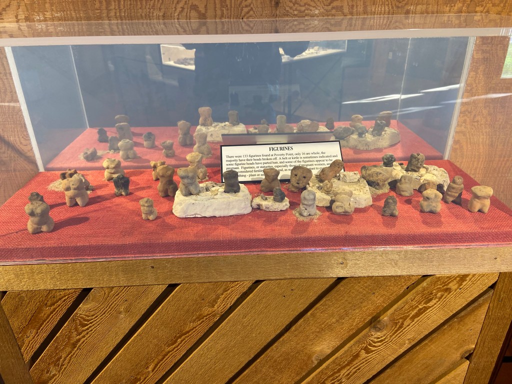
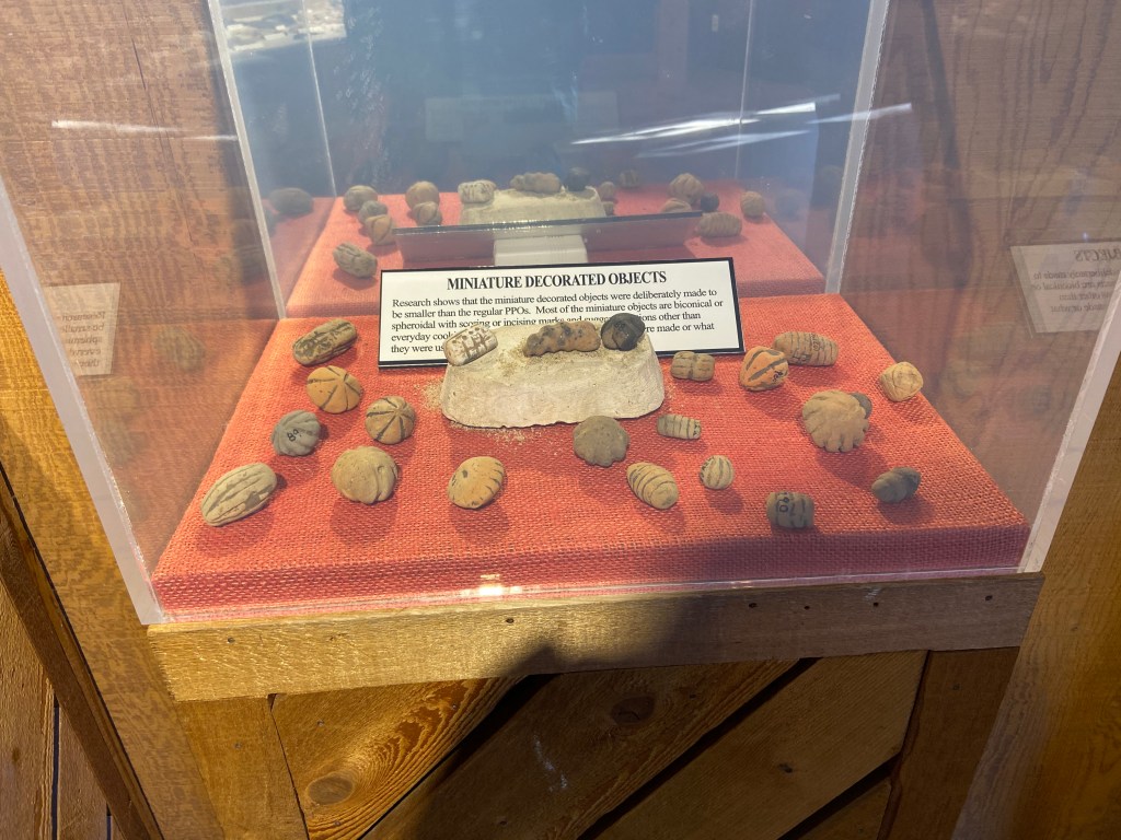
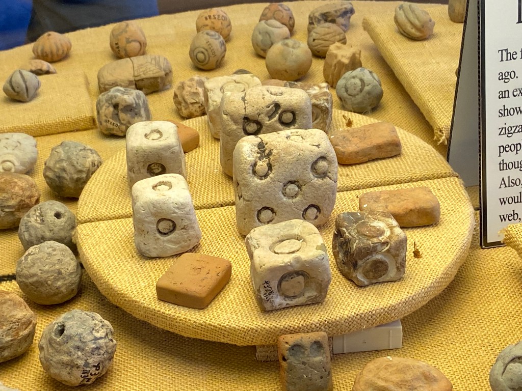
Some pictures of artifacts:
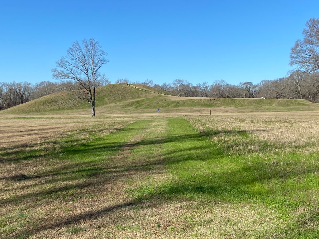
Some pictures from the walking tour:
The name Poverty Point came from the Poverty Point Plantation that occupied the land at a much later time. Today Poverty Point is owned by the State of Louisiana and was added as a UNESCO World Heritage Site in 2014.
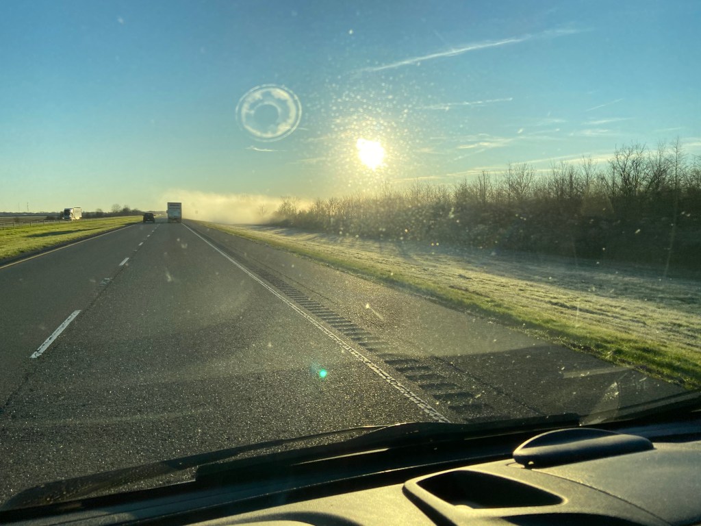
Poverty Point Reservoir State Park sits close to the Historic Site and offers camping. I camped one night before heading to Vicksburg. It was a cold night.
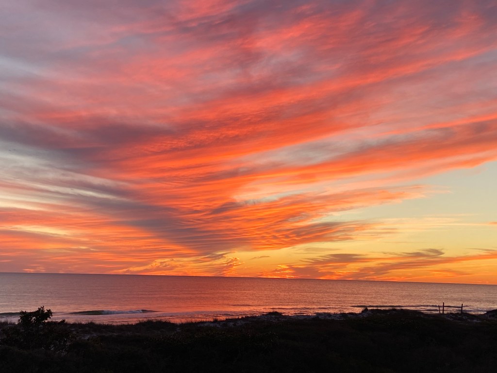
The cold temperatures and high moisture from the bayous made an eerie view when driving that morning.