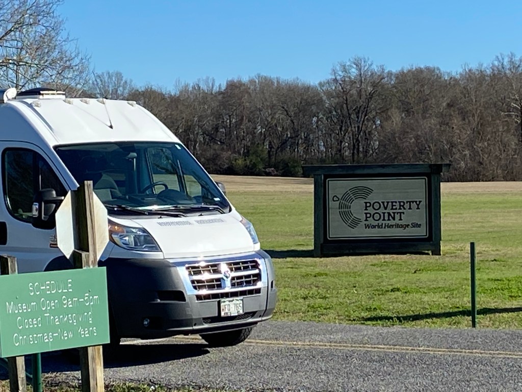
Poverty Point is a UNESCO World Heritage Site located in North East Louisiana. Around 1500 B.C., it was the commercial and governmental center of its day. The people were a sophisticated group who built a complex array of earthen mounds and ridges overlooking the Mississippi River flood plain. Pretty impressive.
The below photo of an artists reconstruction will help visualize the complex:
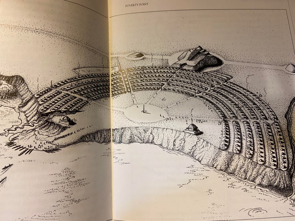
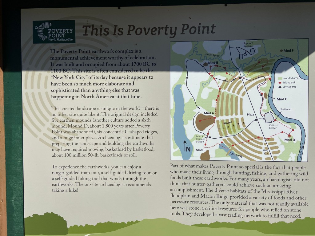
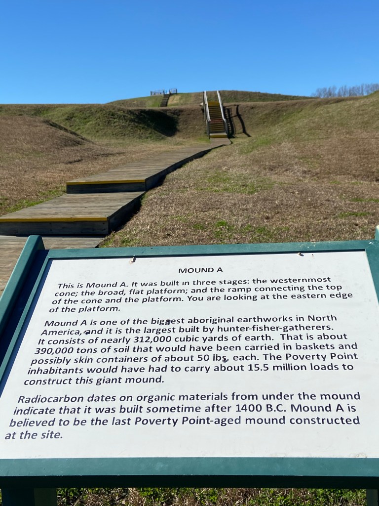
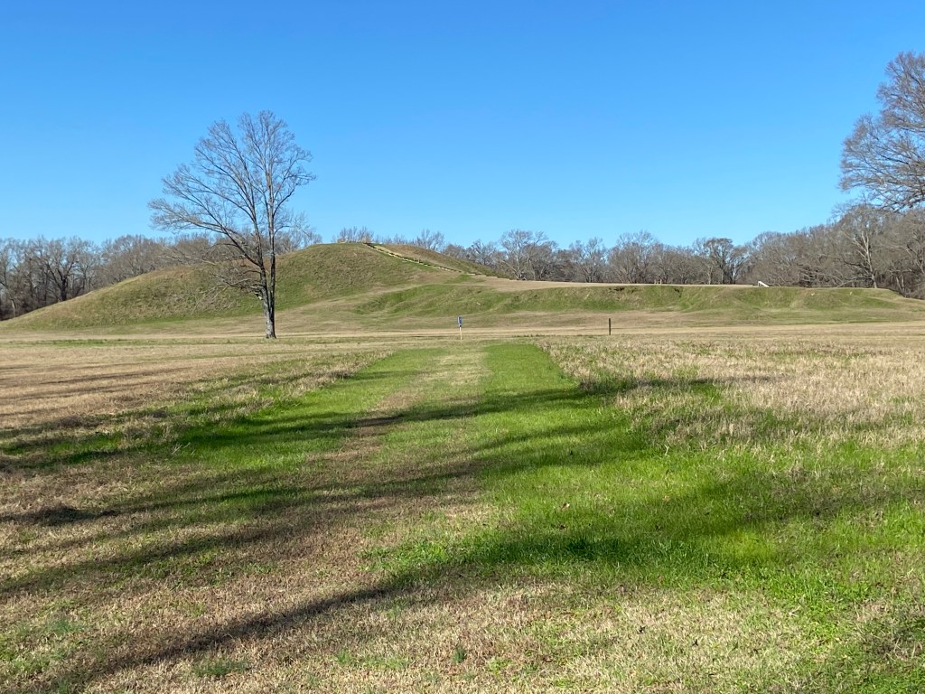
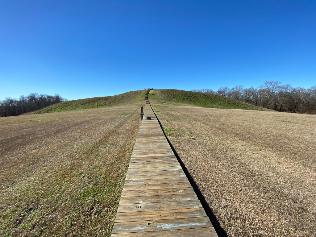
The layout shows a master plan was in place. Six concentric rings which now stand 4 to 6 feet high (thought to originally be 10 feet high before erosion) are separated by ditches. The ends of the outermost rings are about 3/4 miles apart. A plaza sat in the center of the rings, covering about 37 acres. Various mounds sit inside and outside the rings. The leading theory is that the largest mound (called mound A) represents a flying bird. The mound is more than 70 feet high and 640 feet along the wings and 710 feet from head to tail. Imagine how much dirt was moved for such a creation.
It is thought that “homes” were built on the ridges to prevent flooding / standing water and that upwards to a thousand people lived in the complex.
A visitor center has displays and artifacts. During most of the year, guided walking tours are available. Pamphlets are available for self guided tours. I would recommend a half day to take in all the sites.
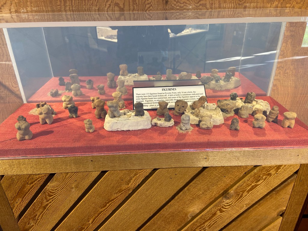
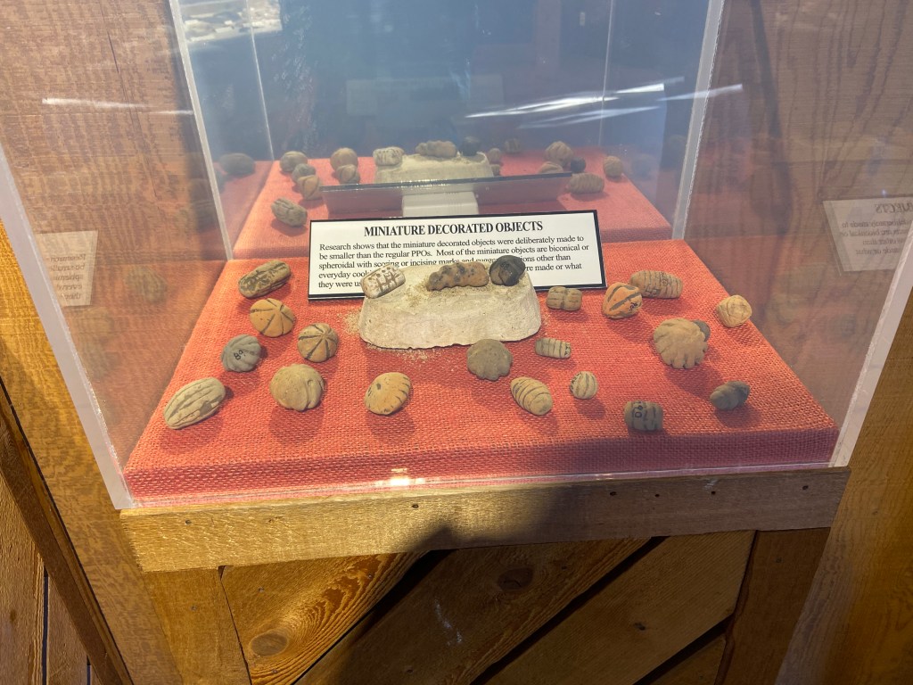
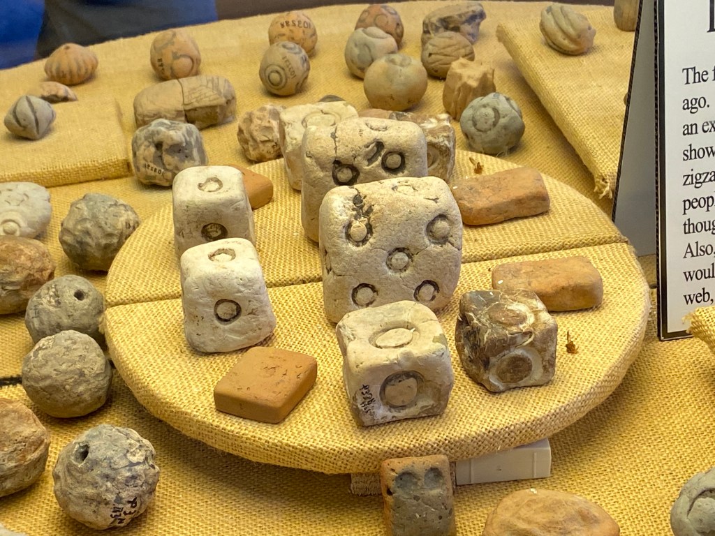
Some pictures of artifacts:
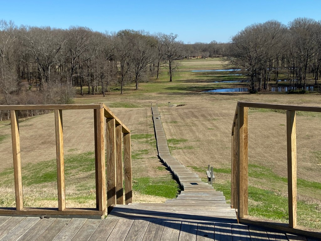
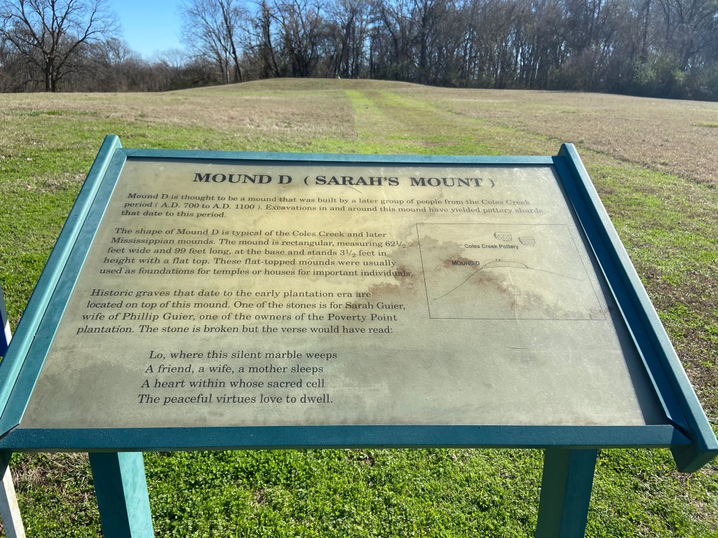
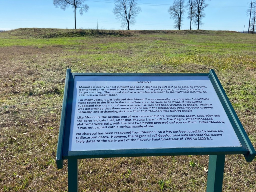
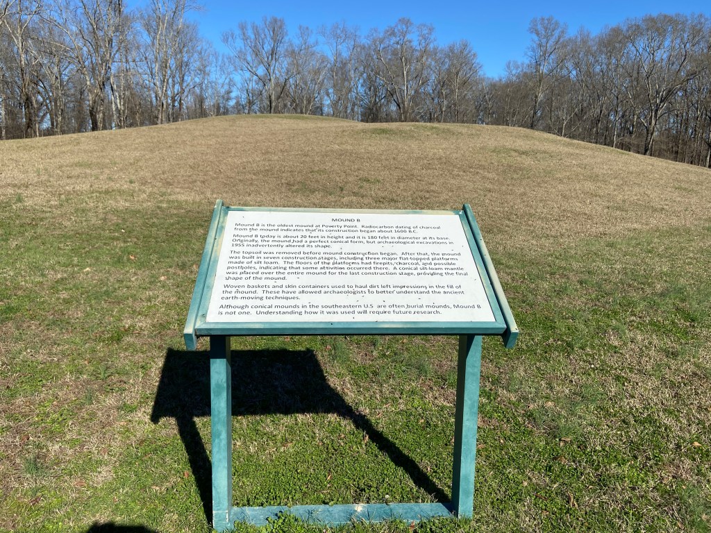
Some pictures from the walking tour:
The name Poverty Point came from the Poverty Point Plantation that occupied the land at a much later time. Today Poverty Point is owned by the State of Louisiana and was added as a UNESCO World Heritage Site in 2014.
Poverty Point Reservoir State Park sits close to the Historic Site and offers camping. I camped one night before heading to Vicksburg. It was a cold night.
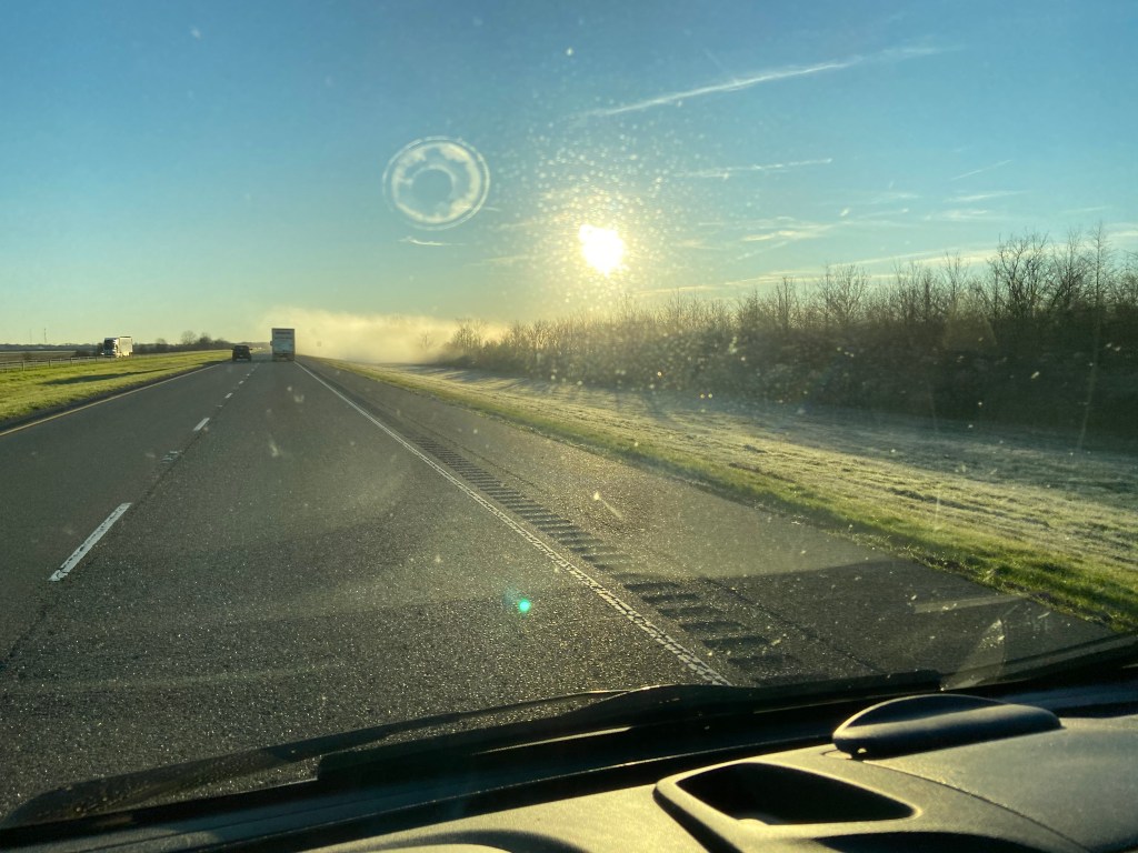
The cold temperatures and high moisture from the bayous made an eerie view when driving that morning.