Vicksburg National Military Park

In my elementary school years, I was fascinated with the history of the civil war. I was too young at the time to understand the politics behind the war and my focus was on the battlefield leaders and strategies. I would pour through all available library books on the major civil war battles. One of those battles was the battle for Vicksburg.

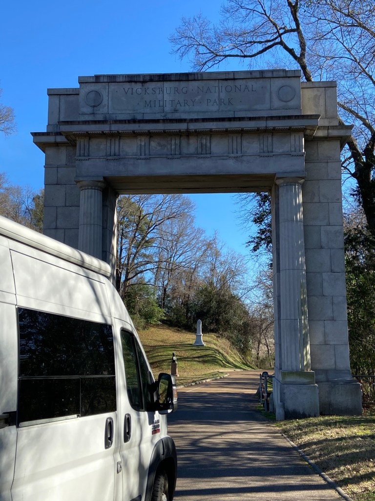
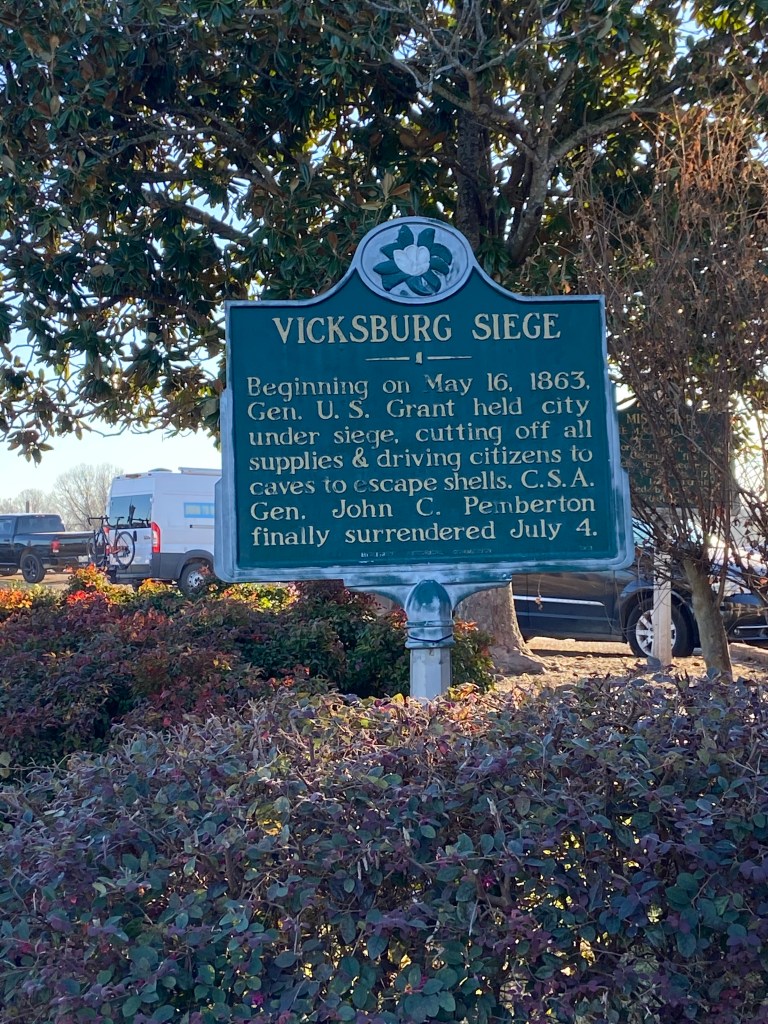
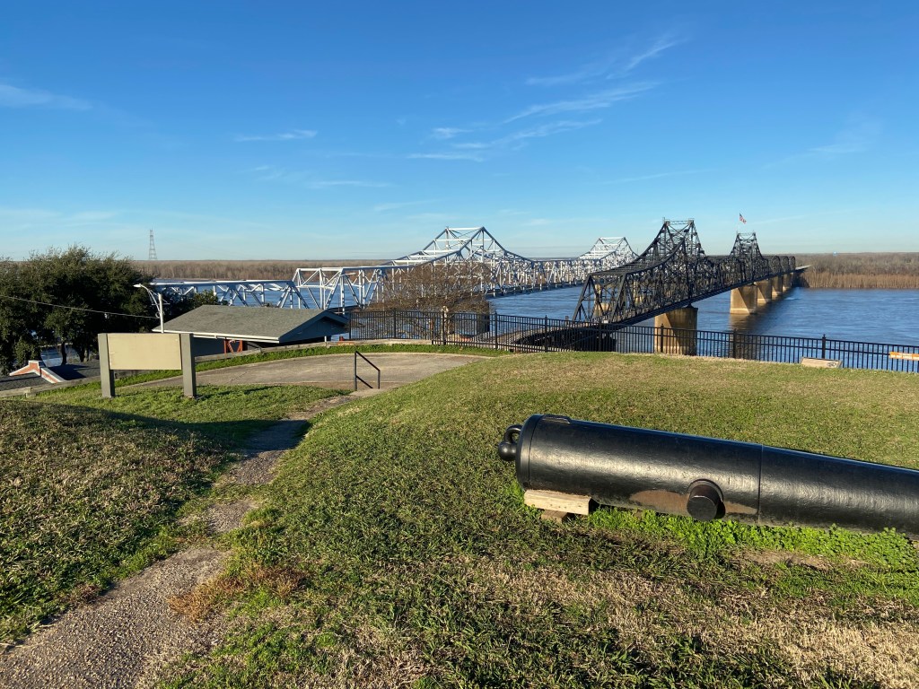
Vicksburg is a city in state of Mississippi that overlooks a bend in the Mississippi River. President Jefferson Davis described the city as ” the nail head the holds the South’s two halves together”. Control of the river provided a lifeline for the South. As such, it was well fortified with artillery batteries guarding the river and a series of forts protecting all land approaches.

The Union knew that complete control of the Mississippi River was key to ending the war. In May of 1863, the battle for Vicksburg started. Three months later, Vicksburg surrendered.

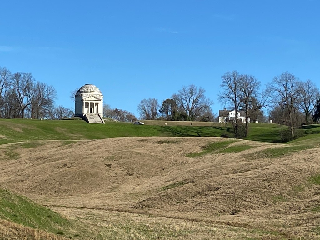
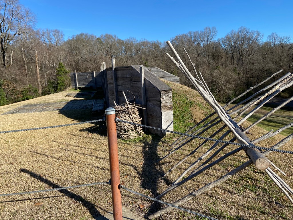
The Park was established in 1899 and included the entire extent of the siege and defense lines. As the city and associated infrastructure grew, the Park reduced in size and four Park sites are now detached from the main area. A Visitor Center sits at the main entrance to the main Park and is well worth the stop. A 16 mile road loops through the Park with parking areas and trails available for observing various sites. I spent a half a day at the park but one could easily spend a whole day.

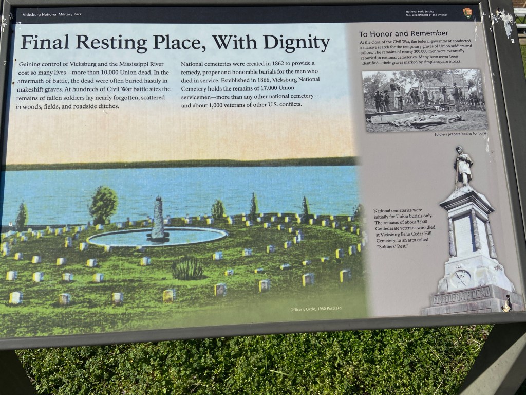
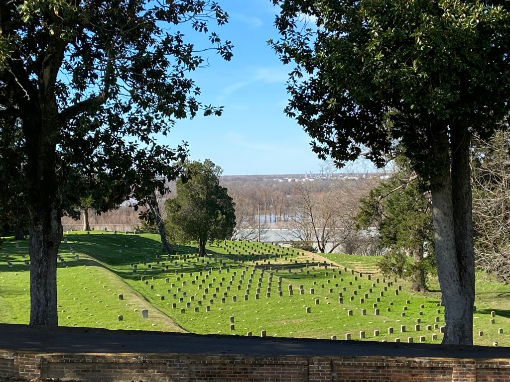
The area of the Park that impacted me the most was the National Cemetery. If a walk through this area of the park does not heavily weigh on you, I dare say you are not human.

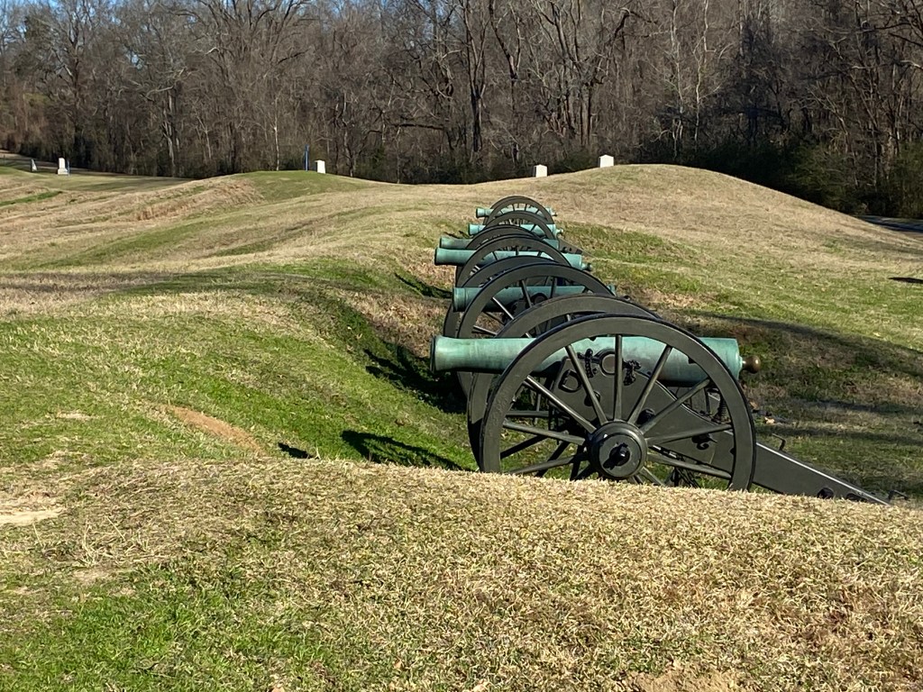
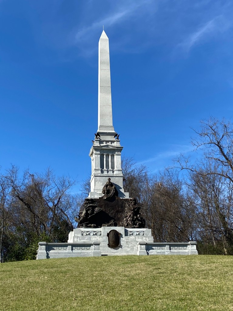
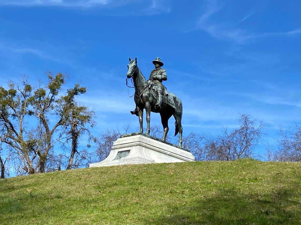
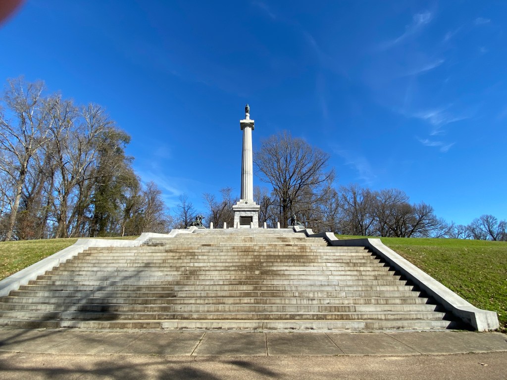
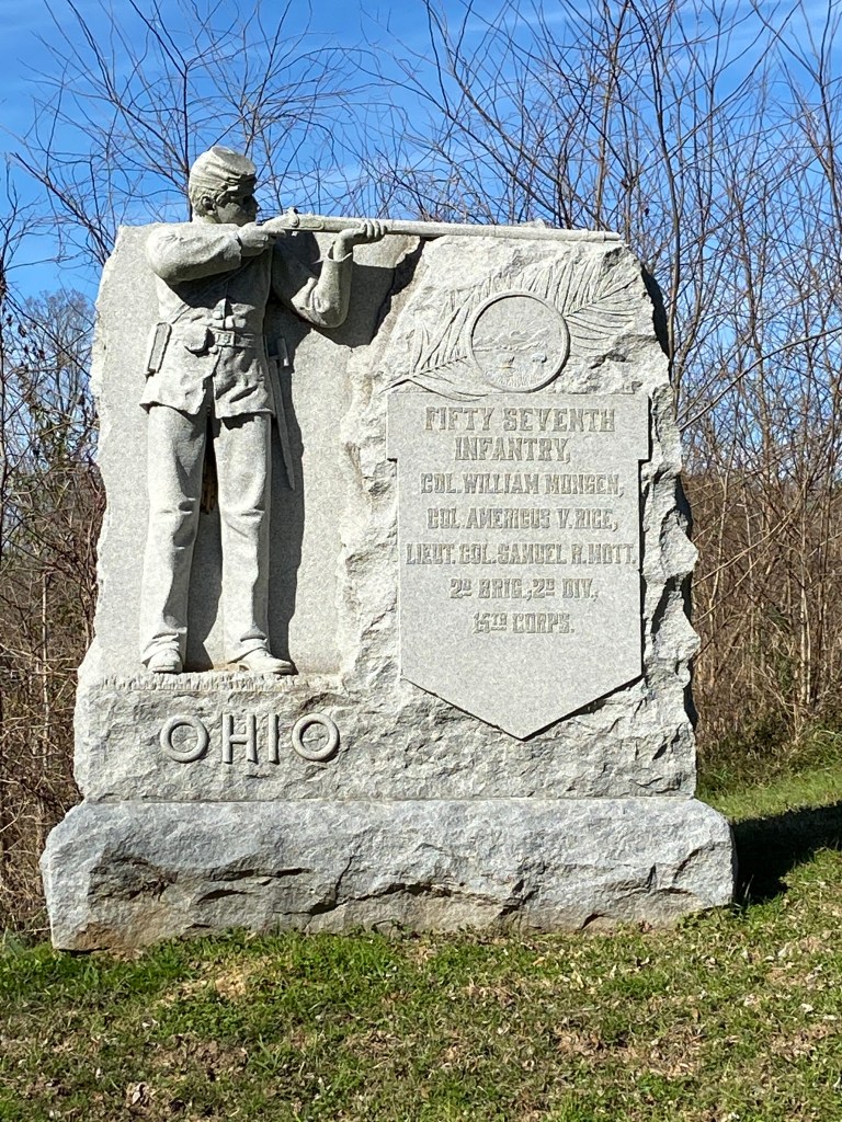
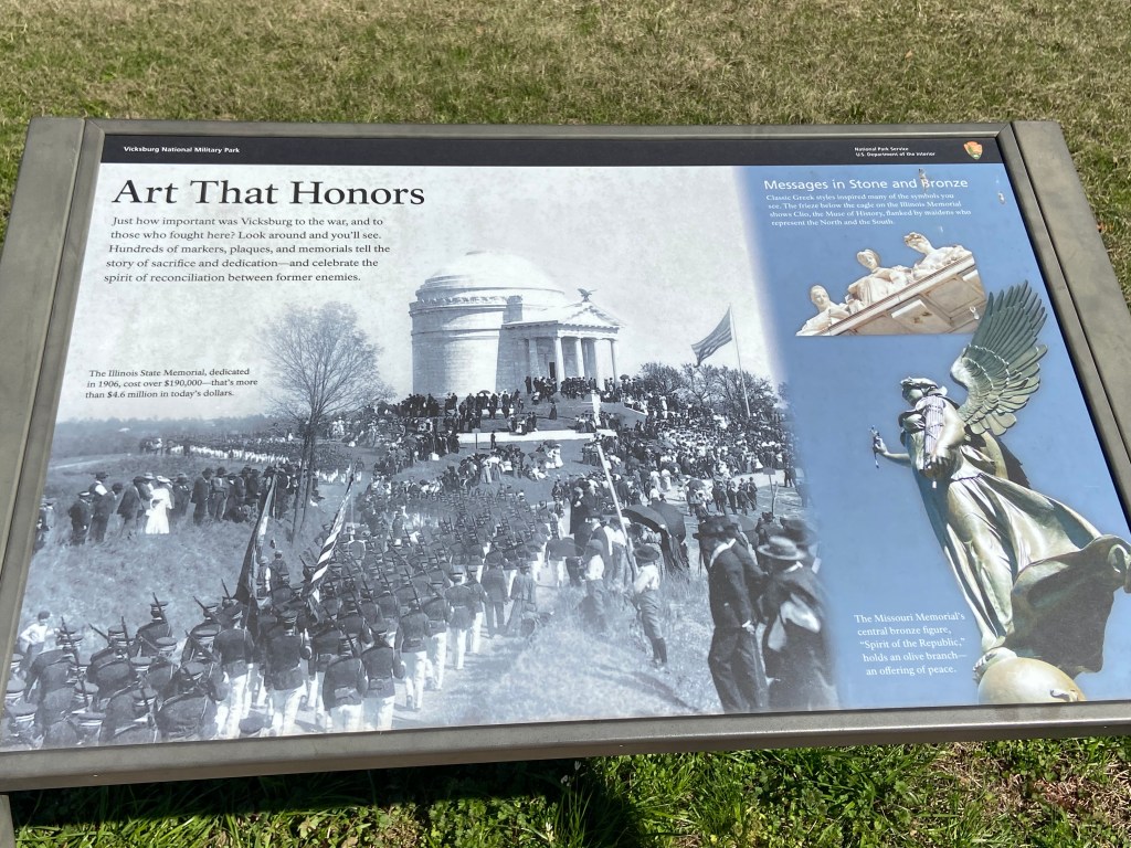
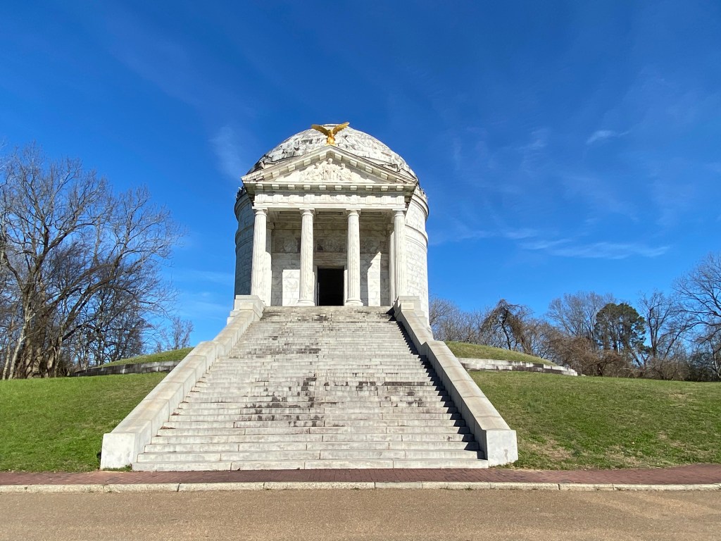
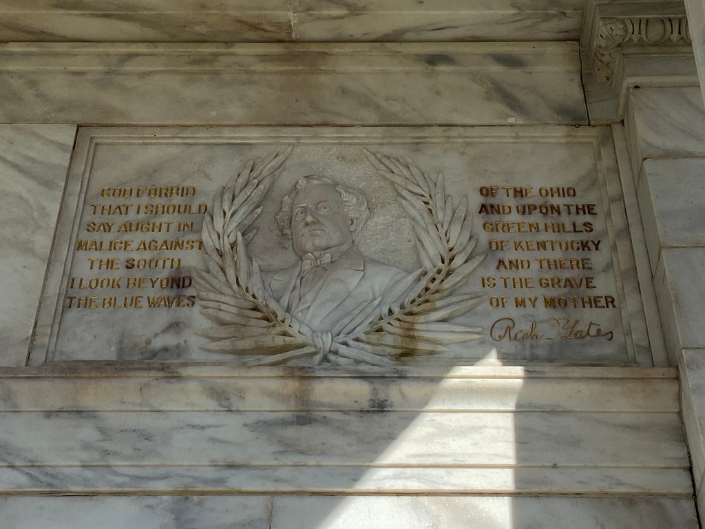
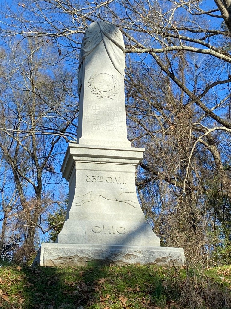
As I toured the battlefield area and the associated monuments (which highlight / memorialize battles / soldiers), one of my takeaway’s was that there were very few monuments focused on the Southern perspective. I later read that when the Park was established 30 years after the battle, States were allowed to establish monuments highlighting the involvement of their soldiers. However, the Southern states did not have / or had very limited monetary resources for such.

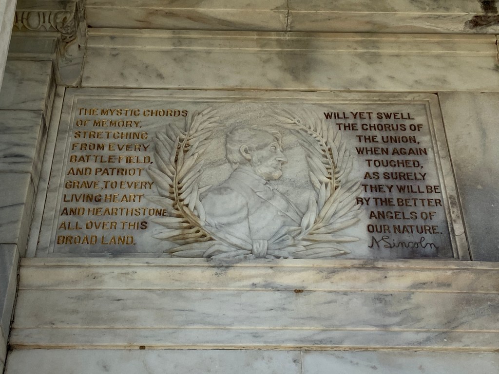
Some monument / battle field pics:

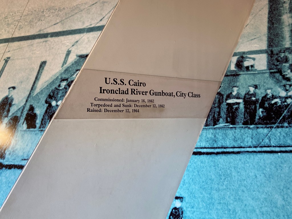
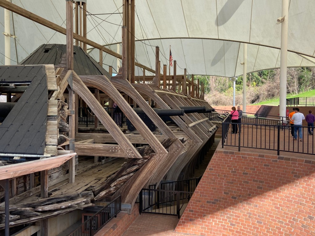
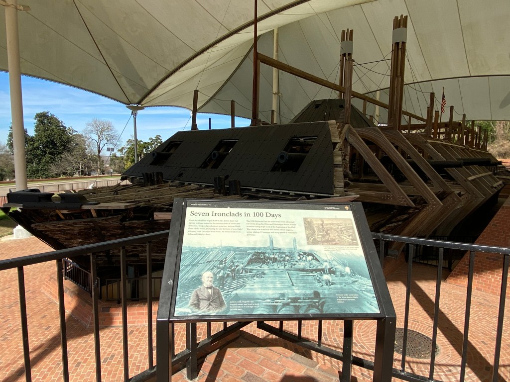
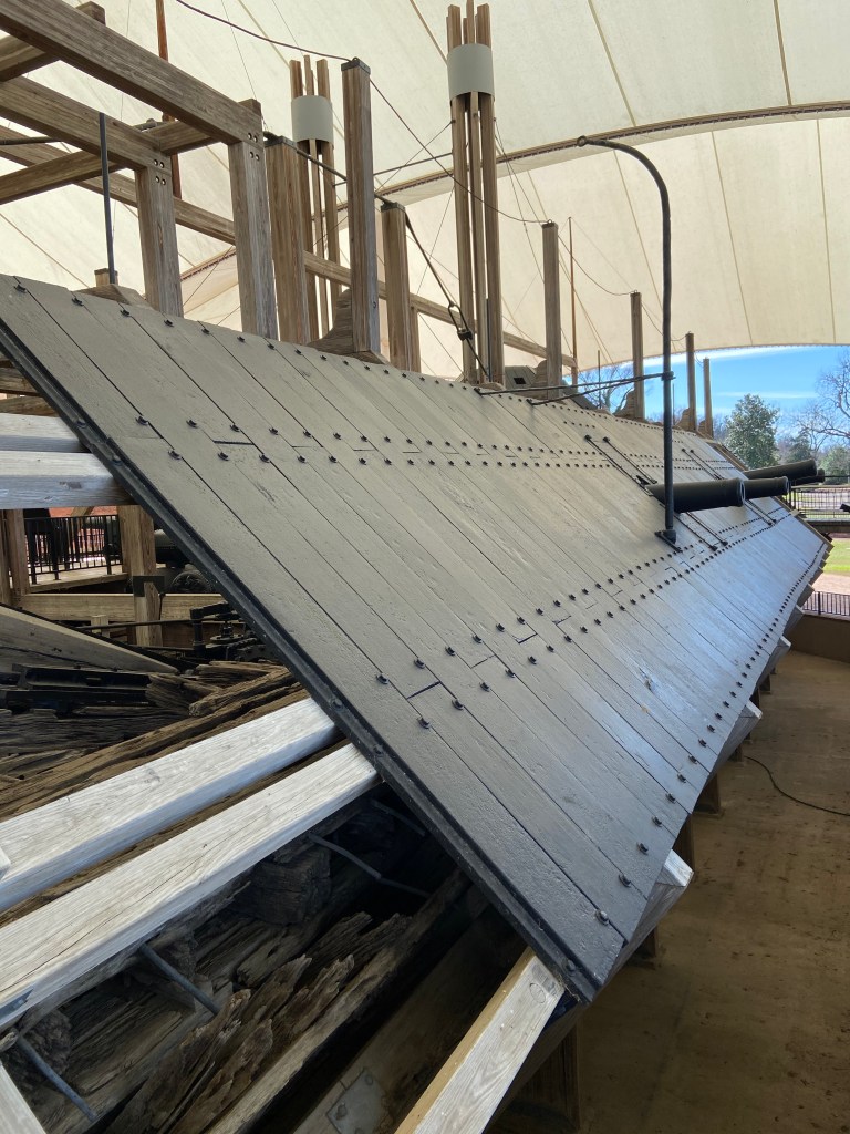
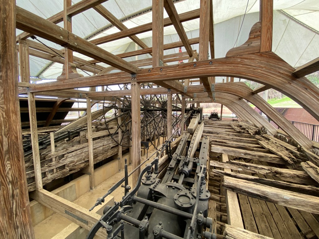
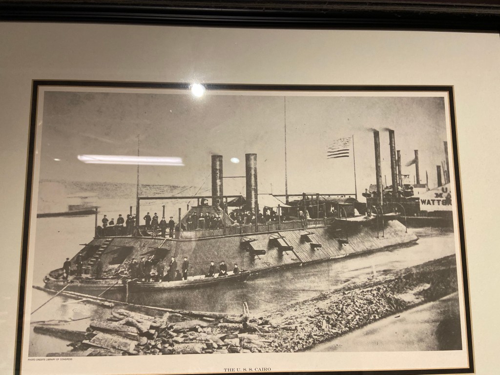
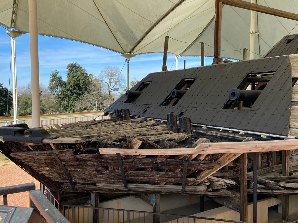
An extremely interesting exhibit within the main Park boundaries is the gunboat USS Cairo. The USS Cairo was one of America’s first ironclad warships. It was sunk in 1862 by an electrically detonated torpedo / mine while traveling on the Yazoo river north of Vicksburg. In 1956, it was discovered . Silt, sand and mud had encapsulated the ship and help preserve it in fairly good condition. The boat was salvaged in the 1960’s and set up for exhibit within the Park as the USS Cairo Museum. Pretty cool set up.

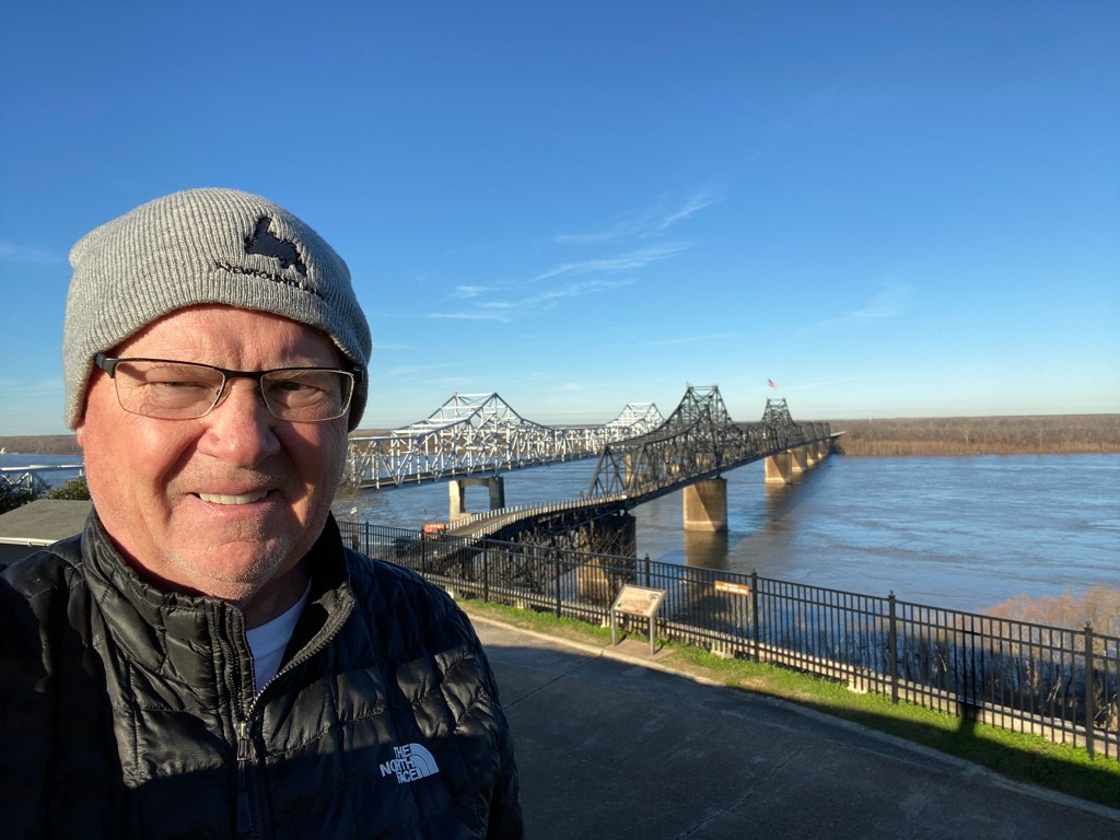
When crossing the river from Louisiana, there are signs for the Vicksburg Visitor Center (different than the Military Park visitor center). It is worth a stop for information and a view over the river. It is also next to one of the detached Military Park areas.

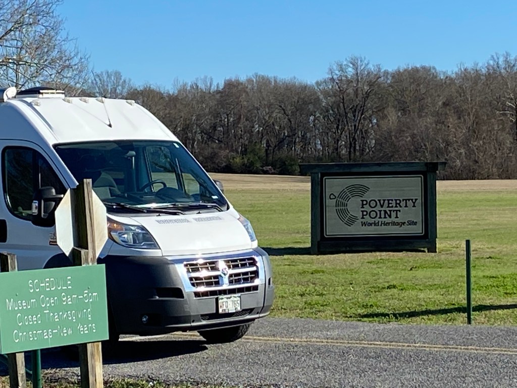
Now, off to the Gulf!

Poverty Point State Historical Site, Louisiana

Poverty Point is a UNESCO World Heritage Site located in North East Louisiana. Around 1500 B.C., it was the commercial and governmental center of its day. The people were a sophisticated group who built a complex array of earthen mounds and ridges overlooking the Mississippi River flood plain. Pretty impressive.

The below photo of an artists reconstruction will help visualize the complex:

The layout shows a master plan was in place. Six concentric rings which now stand 4 to 6 feet high (thought to originally be 10 feet high before erosion) are separated by ditches. The ends of the outermost rings are about 3/4 miles apart. A plaza sat in the center of the rings, covering about 37 acres. Various mounds sit inside and outside the rings. The leading theory is that the largest mound (called mound A) represents a flying bird. The mound is more than 70 feet high and 640 feet along the wings and 710 feet from head to tail. Imagine how much dirt was moved for such a creation.

It is thought that “homes” were built on the ridges to prevent flooding / standing water and that upwards to a thousand people lived in the complex.

A visitor center has displays and artifacts. During most of the year, guided walking tours are available. Pamphlets are available for self guided tours. I would recommend a half day to take in all the sites.

Some pictures of artifacts:

Some pictures from the walking tour:

The name Poverty Point came from the Poverty Point Plantation that occupied the land at a much later time. Today Poverty Point is owned by the State of Louisiana and was added as a UNESCO World Heritage Site in 2014.

Poverty Point Reservoir State Park sits close to the Historic Site and offers camping. I camped one night before heading to Vicksburg. It was a cold night.

The cold temperatures and high moisture from the bayous made an eerie view when driving that morning.

Joshua Tree National Park

Joshua Tree was always on my to visit list. Finally made it and glad I did. In 1936, the area was proclaimed as a National Monument and then in 1994, it became a National Park. 80% of the park is managed as wilderness.

The eastern part of the park (below 3,000 feet) lies within the Colorado Desert which in-turn is part of the much larger Sonoran Desert. The western part of the park (above 3,000 feet) is part of the Mojave Desert. The park is slightly larger than the state of Rhode Island.

I camped 6 nights in the park, 1 night at Belle Campground and 5 nights at Jumbo Rocks Campground. The park has 8 campgrounds spread across the park. I camped in December (2019) and found that during the week many camping sites remained unused. However, during the weekends everything filled up and also there were many more day users. The park seems to be a weekend get away from the larger cities of the California coast.

The weather during my visit was perfect. Sunny / warm days (warm for December) and cool nights. A person could easily spend 7 or more days in the park and still have sights to see.

There are many private campgrounds that surround the park and also dispersed camping (on BLM land). The dispersed camping sits right outside the park on the north and south sides.

While paved roads cut through the park and access many points of interest, the best way to see the park is by hiking or biking. Bicycles are not allowed on the hiking trails but are allowed on the paved roads as well as the dirt / gravel roads.

I entered the park from the south which takes one to the Cottonwood Visitor Center.

The Joshua Tree:

The name supposedly comes from the biblical Joshua and his outreached hands. It is a type of Yucca that has tree like features.

The Joshua Tree
The Joshua tree flower.
The “trunk” of the tree

On the way to Belle Campground, I stopped at Cholla Cactus Garden. Pretty cool hike and views.

View out to Pinto Basin:

Campsite at Belle Campground:

Jumbo Rocks Campground:

Sunrise view from van

Sunsets: Each night provided some amazing sunsets:

Hiking:

Before becoming a Monument / Park, the area was used for mining, ranching and farming which brought a real cast of character to the region. The hiking trails take one not only to areas of natural features but also to the man made operations.

A picture of the Barker Dam which was built around 1900 to hold water for cattle and mining use. A trail loops around the area. Today, the local wildlife uses the water stored by the dam.

Barker Dam

Cycling:

From the Jumbo Rocks Campground, I rode my gravel bike on O’Dell Road, Queen Valley Road, Bighorn Pass Road, and Geology Tour Road, all great gravel / dirt rides. Vehicle traffic on these roads was very light. A number of hikes start from these roads. Bike stands were available (usually somewhat hidden from the parking areas) which allowed locking the bike out of view prior to hiking.

A view of / from gravel road

While cycling, I met Casey who travels North America working for a top name bicycle company. She travels in a van, going from one cycling event / show to another and sets up a demonstration / bike repair tent. What a cool job. She noted that normally she has a schedule set at least for the next 6 months which allows her to plan her travel and visits along the way. That day she had stopped at the park to get some exercise. It was amazing how stuffed the van was with top of the line bicycles. If I remember correctly, there were 12 bikes inside the van, along with a bunch of other gear.

We talked for quite awhile about how she “snagged” the job and how things were going.

Say hi to Casey

The drive to and sights from Keys View (an overlook in the park) is spectacular.

On the way back to Colorado, I took back roads to I-40. It is a very remote area.

This sign pole sits in the middle of nowhere. I needed a double take to make sure I was not hallucinating.

Now back to Colorado for the holidays. I will return to Joshua tree!